Churt

Settlement in Surrey Waverley

England

Churt

Bacon Lane, near Farnham Bacon Lane is a minor lane through countryside on the borers of Hampshire and Surrey.  At this point it is in Hampshire, but will cross the county boundary into Surrey less than a kilometre away.
Bacon Lane, near Farnham Credit: Malc McDonald

Churt is a serene village located in the county of Surrey, England. Nestled in the Surrey Hills Area of Outstanding Natural Beauty, Churt is renowned for its picturesque landscapes and tranquil surroundings. The village is situated about four miles south-west of Farnham and has a population of approximately 1,200 residents.

Churt boasts a rich history, with evidence of human settlement dating back to the Bronze Age. The village is home to several historic buildings, including St. John the Evangelist Church, which was built in the 19th century and features stunning stained glass windows.

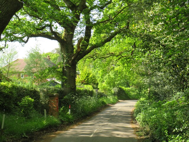
Nature enthusiasts will be delighted by the abundance of outdoor activities available in Churt. The village is surrounded by vast expanses of lush greenery, offering numerous walking and cycling trails for visitors to explore. Additionally, the nearby Devil's Jumps, a series of four hills, provides breathtaking panoramic views of the surrounding countryside.

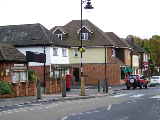
Churt is a close-knit community with a range of amenities to cater to its residents. The village has a primary school, a popular local pub, and a village hall that hosts various community events throughout the year. For additional amenities, the nearby town of Farnham offers a wider selection of shops, restaurants, and leisure facilities.

Overall, Churt is a charming village that offers a peaceful and idyllic setting for those seeking a serene escape from the hustle and bustle of city life. With its stunning natural landscapes and welcoming community, Churt is a hidden gem in the heart of Surrey.

If you have any feedback on the listing, please let us know in the comments section below.
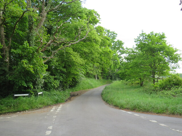
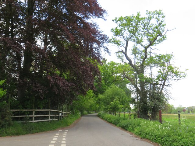
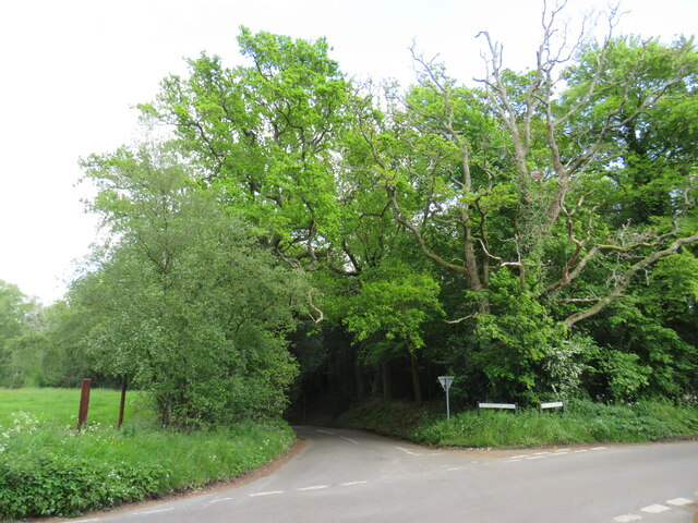
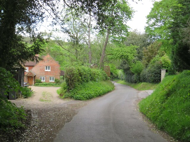
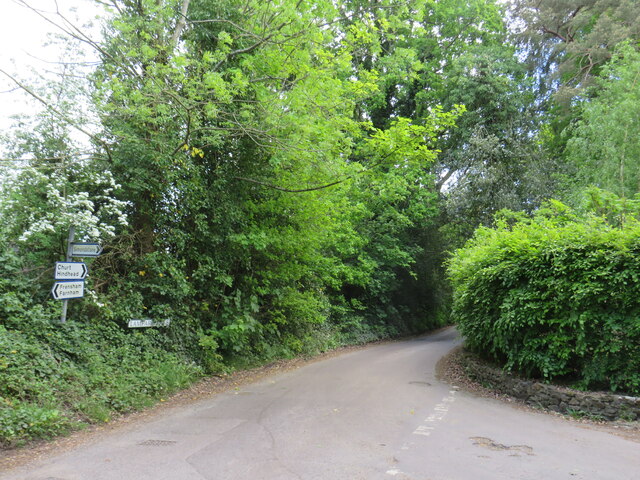
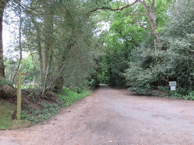
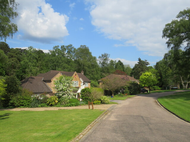
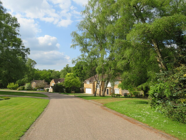
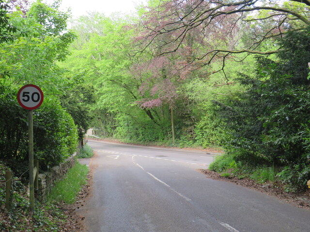
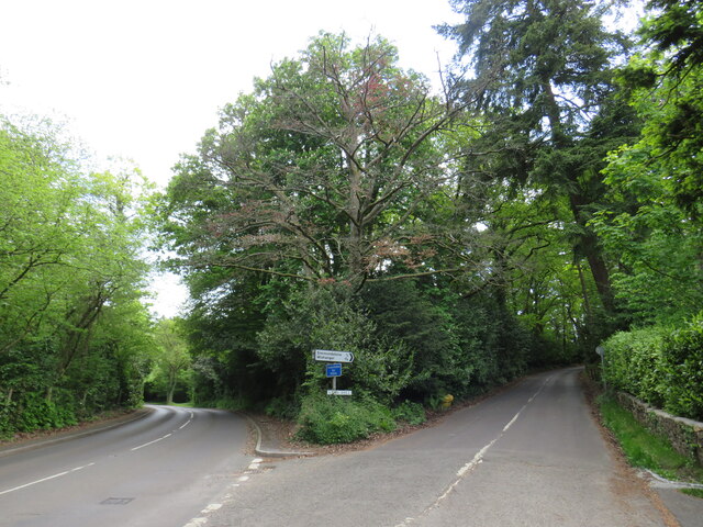
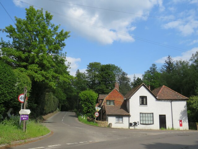
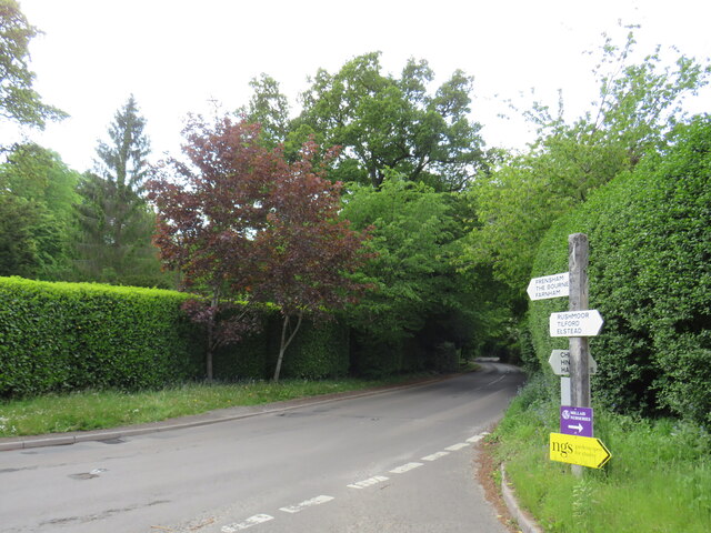
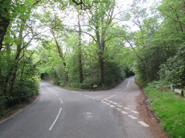
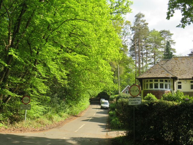
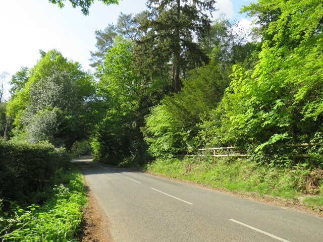
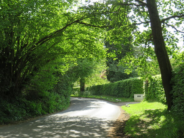
Churt Images

Images are sourced within 2km of 51.136817/-0.779172 or Grid Reference SU8538. Thanks to Geograph Open Source API. All images are credited.

Bacon Lane, near Farnham Bacon Lane is a minor lane through countryside on the borers of Hampshire and Surrey.  At this point it is in Hampshire, but will cross the county boundary into Surrey less than a kilometre away.
Bacon Lane, near Farnham
Bacon Lane is a minor lane through countryside on the borers of Hampshire and Surrey. At this point it is in Hampshire, but will cross the county boundary into Surrey less than a kilometre away.
Bacon Lane, near Farnham Bacon Lane is a minor lane through countryside on the borders of Hampshire and Surrey.  Here, it is in Hampshire but will cross the boundary into Surrey about a kilometre ahead.
Bacon Lane, near Farnham
Bacon Lane is a minor lane through countryside on the borders of Hampshire and Surrey. Here, it is in Hampshire but will cross the boundary into Surrey about a kilometre ahead.
Bacon Lane, near Farnham Bacon Lane is a minor lane through countryside on the borders of Hampshire and Surrey.  In this view, it is in Hampshire.
Bacon Lane, near Farnham
Bacon Lane is a minor lane through countryside on the borders of Hampshire and Surrey. In this view, it is in Hampshire.
Wishanger Lane, near Farnham Wishanger Lane is a minor lane through countryside and woodland on the borders of Hampshire and Surrey.  Here, as it disappears into the trees, it is in Hampshire but will cross the boundary into Surrey less than half a kilometre away.
Wishanger Lane, near Farnham
Wishanger Lane is a minor lane through countryside and woodland on the borders of Hampshire and Surrey. Here, as it disappears into the trees, it is in Hampshire but will cross the boundary into Surrey less than half a kilometre away.
Wishanger Lane, near Farnham Wishanger Lane is a minor road through countryside on the borders of Hampshire and Surrey.  Here the lane passes a house on the Hampshire side of the border.  The lane will cross into Surrey about 200 metres further ahead.
Wishanger Lane, near Farnham
Wishanger Lane is a minor road through countryside on the borders of Hampshire and Surrey. Here the lane passes a house on the Hampshire side of the border. The lane will cross into Surrey about 200 metres further ahead.
Lampard Lane, Churt, near Farnham Lampard Lane is a minor lane on the edge of the Surrey village of Churt, very close to the border with Hampshire.
Lampard Lane, Churt, near Farnham
Lampard Lane is a minor lane on the edge of the Surrey village of Churt, very close to the border with Hampshire.
Public bridleway, Churt, near Farnham A public bridleway along a driveway on the edge of the village of Churt, in Surrey.  This location is very close to the border with Hampshire.
Public bridleway, Churt, near Farnham
A public bridleway along a driveway on the edge of the village of Churt, in Surrey. This location is very close to the border with Hampshire.
Star Hill Drive, Churt, near Farnham Star Hill Drive is a residential cul-de-sac on the edge of the village of Churt in Surrey.
Star Hill Drive, Churt, near Farnham
Star Hill Drive is a residential cul-de-sac on the edge of the village of Churt in Surrey.
Star Hill Drive, Churt, near Farnham Star Hill Drive is a residential cul-de-sac on the edge of the village of Churt in Surrey.
Star Hill Drive, Churt, near Farnham
Star Hill Drive is a residential cul-de-sac on the edge of the village of Churt in Surrey.
Star Hill, Churt, near Farnham Star Hill is a minor road on the edge of the village of Churt, in Surrey.  Here, the road approaches a junction with the A287.  The sign to the left of the image is a "repeater" sign reminding motorists that a speed limit of 50 miles per hour applies here.
Star Hill, Churt, near Farnham
Star Hill is a minor road on the edge of the village of Churt, in Surrey. Here, the road approaches a junction with the A287. The sign to the left of the image is a "repeater" sign reminding motorists that a speed limit of 50 miles per hour applies here.
Road junction in Churt, near Farnham A road junction on the edge of the village of Churt in Surrey.  The road to the left is the A287.
Road junction in Churt, near Farnham
A road junction on the edge of the village of Churt in Surrey. The road to the left is the A287.
The Old Post Office, Churt, near Farnham The Old Post Office stands at the corner of Jumps Road in the Surrey village of Churt.  As its name suggests, this building was once a post office.  It stall has a post box in the wall, to the right of the image.

The road passing in the foreground is the A287.
The Old Post Office, Churt, near Farnham
The Old Post Office stands at the corner of Jumps Road in the Surrey village of Churt. As its name suggests, this building was once a post office. It stall has a post box in the wall, to the right of the image. The road passing in the foreground is the A287.
A287 at Churt, near Farnham The A287 road at Churt in Surrey.
A287 at Churt, near Farnham
The A287 road at Churt in Surrey.
Road junction near Farnham A junction of minor roads in woodland, near the Surrey village of Churt.
Road junction near Farnham
A junction of minor roads in woodland, near the Surrey village of Churt.
Crabtree Lane, Churt, near Farnham Crabtree Lane is a minor lane on the edge of the village of Churt in Surrey.

A width restriction of 6 feet and 6 inches applies to prohibit large vehicles from using this road.  Vehicles needing to access properties along this road are exempt from the restriction.
Crabtree Lane, Churt, near Farnham
Crabtree Lane is a minor lane on the edge of the village of Churt in Surrey. A width restriction of 6 feet and 6 inches applies to prohibit large vehicles from using this road. Vehicles needing to access properties along this road are exempt from the restriction.
Jumps Road, Churt, near Farnham Jumps Road is a minor road through woodland on the edge of the village of Churt, in Surrey.
Jumps Road, Churt, near Farnham
Jumps Road is a minor road through woodland on the edge of the village of Churt, in Surrey.
Hale House Lane, Churt, near Farnham Hale House Lane is a minor road on the edge of the village of Churt, in Surrey.
Hale House Lane, Churt, near Farnham
Hale House Lane is a minor road on the edge of the village of Churt, in Surrey.
Crabtree Lane, Churt, near Farnham Crabtree Lane is a minor road on the edge of the village of Churt, in Surrey.
Crabtree Lane, Churt, near Farnham
Crabtree Lane is a minor road on the edge of the village of Churt, in Surrey.
Show me another place!

Churt is located at Grid Ref: SU8538 (Lat: 51.136817, Lng: -0.779172)

Administrative County: Surrey

District: Waverley

Police Authority: Surrey

What 3 Words

///ribcage.ambition.kilts. Near Churt, Surrey

Nearby Locations

Churt Crossways Churt

Related Wikis

Churt

Churt is a village and civil parish in the borough of Waverley in Surrey, England, about 5.5 miles (8.9 km) south of the town of Farnham on the A287 road...

Barford, Hampshire

Barford is a scattered hamlet in the civil parish of Headley in the East Hampshire district of Hampshire, England. The village lies on the Hampshire-Surrey...

Devil's Jumps, Churt

The Devil's Jumps are a series of three small hills near the village of Churt in the county of Surrey in southern England. In the 18th century, the hills...

Stockstone Quarry

Stockstone Quarry is a 3.9-hectare (9.6-acre) geological Site of Special Scientific Interest south of Farnham in Surrey. It is a Geological Conservation...

Bron-y-de

Bron-y-de (transl. 'Breast of the south') was a house and surrounding farm in the village of Churt in the southern English county of Surrey. The main house...

Headley Down

Headley Down is a village within the civil parish of Headley in the East Hampshire district of Hampshire, England, bounded on two sides by Ludshott Common...

Beacon Hill (Hindhead, Surrey)

Beacon Hill, while ecumenically and administratively part of Hindhead, Surrey, is a discrete settlement with its own history, amenities and character....

Arford

Arford is a village in the East Hampshire district of Hampshire, England, just north of the B3002 road, and is part of the civil parish of Headley. The...

Nearby Amenities

Located within 500m of 51.136817,-0.779172
Hatchouse Farm
Landuse: farm
Note Retag: CS #48756035
Source: npe
Lat/Long: 51.1378144/-0.7753767
Barford
Building: yes
Source: npe
Lat/Long: 51.1349674/-0.7834561
Pub
The Crossways
Addr City: Farnham
Addr Housename: The Crossways
Addr Place: Churt
Addr Postcode: GU10 2JS
Fhrs Id: 170627
Indoor Seating: yes
Outdoor Seating: yes
Website: http://www.weydonian.net/crossways/
Lat/Long: 51.136867/-0.7789418
Churt News
Addr City: Farnham
Addr Place: Churt
Addr Postcode: GU10 2JA
Addr Street: Crossways
Shop: convenience
Lat/Long: 51.1371028/-0.7792729
Bus Stop
Butts Farm
Naptan AtcoCode: 40004411320A
Naptan Bearing: N
Naptan CommonName: Butts Farm
Naptan Indicator: Just after
Naptan Landmark: Butts Farm
Naptan NaptanCode: surdwmam
Naptan Street: Churt Road
Naptan Verified: no
Source: naptan_import
Lat/Long: 51.1342141/-0.775947
Bus Stop
Crossways
Bench: yes
Bin: yes
Naptan AtcoCode: 40004411321A
Naptan Bearing: N
Naptan CommonName: Crossways
Naptan Indicator: Just after
Naptan Landmark: Crossways
Naptan NaptanCode: surdwmap
Naptan Street: Churt Road
Naptan Verified: no
Shelter: yes
Source: naptan_import
Lat/Long: 51.1377813/-0.7799694
Bus Stop
Crossways
Bench: yes
Naptan AtcoCode: 40004411321B
Naptan Bearing: S
Naptan CommonName: Crossways
Naptan Indicator: Just Before
Naptan Landmark: Crossways
Naptan NaptanCode: surdwmat
Naptan Street: Churt Road
Naptan Verified: no
Shelter: no
Source: naptan_import
Lat/Long: 51.1380612/-0.7800764
Bus Stop
Butts Farm
Naptan AtcoCode: 40004411958A
Naptan Bearing: SE
Naptan CommonName: Butts Farm
Naptan Indicator: adj
Naptan Landmark: Butts Farm
Naptan NaptanCode: surgmtaw
Naptan Street: Churt Road
Naptan Verified: no
Source: naptan_import
Lat/Long: 51.1339955/-0.7756813
Post Box
Brand: Royal Mail
Brand Wikidata: Q638098
Collection Plate: not visible
Collection Times: Mo-Fr 16:30; Sa 10:30
Note: There is a notice on this postbox on 10-09-2022 that the final collection will be made on Mo-Fr at 09:00 and on Sa at 07:00. But the postbox plate has not yet had the collection times updated.
Operator: Royal Mail
Operator Wikidata: Q638098
Post Box Type: pillar
Ref: GU10 27
Royal Cypher: GR
Royal Cypher Wikidata: Q33102273
Source: survey
Survey Point: 2022-09-10
Lat/Long: 51.1375258/-0.7796121
Crossing
Crossing: uncontrolled
Crossing Ref: zebra
Kerb: lowered
Sloped Curb: yes
Source: Bing
Lat/Long: 51.1375375/-0.779712
Give Way
Lat/Long: 51.1349101/-0.7838854
Churt
Place: village
Population: 1250
Wikidata: Q1790272
Wikipedia: en:Churt
Lat/Long: 51.1376924/-0.7762214
Crossing
Crossing: unmarked
Kerb: lowered
Sloped Curb: yes
Lat/Long: 51.137236/-0.77848
Crossing
Crossing: unmarked
Kerb: lowered
Sloped Curb: yes
Lat/Long: 51.137491/-0.7796048
Crossing
Crossing: unmarked
Kerb: lowered
Sloped Curb: yes
Lat/Long: 51.1376324/-0.7797108
Barford Court Farm
Landuse: farm
Note Retag: CS #48756035
Source: OS_OpenData_StreetView
Lat/Long: 51.1394703/-0.7841699
Miscellanea of Churt;Churt Garden Machinery
Addr Housename: Miscellanea;Churt Garden Machinery Ltd
Addr Postcode: GU10 2JA
Addr Street: Crossways
Opening Hours: Mo-Fr 08:30-17:00; Sa 09:30-16:00
Phone: +44 1428 714 014;+441428712116
Shop: yes
Website: https://www.miscellanea.co.uk/
Lat/Long: 51.1372226/-0.7793906
Restaurant
Pipasha Tandoori
Addr City: Farnham
Addr Place: Churt
Addr Postcode: GU10 2JA
Addr Street: Crossways
Cuisine: indian
Fhrs Id: 183491
Website: http://www.pipashatandoori.co.uk/
Lat/Long: 51.1371533/-0.7793398
Give Way
Source: Bing
Lat/Long: 51.1369035/-0.7792103
Give Way
Source: Bing
Lat/Long: 51.136859/-0.7792976
Give Way
Source: Bing
Lat/Long: 51.1391231/-0.7817997
Leisure: playground
Source: seen from bench
Lat/Long: 51.138455/-0.777532
Bench
Lat/Long: 51.1380082/-0.7793024
Grit Bin
Colour: blue
Operator: Surrey County Council
Source: survey
Survey Point: 2022-09-10
Lat/Long: 51.134618/-0.7740209
The data included in this document is from www.openstreetmap.org. The data is made available under ODbL.

Have you been to Churt?

Leave your review of Churt below (or comments, questions and feedback).