Crossways

Settlement in Surrey Waverley

England

Crossways

Lane junction near Bordon A junction of minor lanes in Hampshire countryside, close to the border with Surrey.  A direction sign stands at the junction.  Over time, sap from overhanging trees has dripped onto the sign, partly obscuring it.
Lane junction near Bordon Credit: Malc McDonald

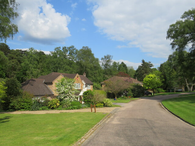
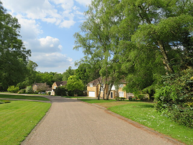
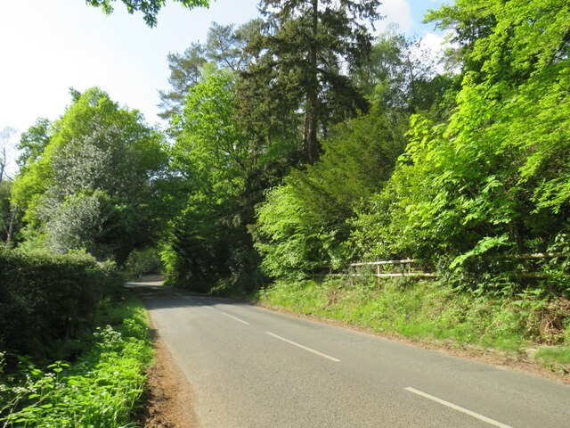
Crossways is a small village located in the county of Surrey, England. Situated approximately 30 miles south-west of London, it falls within the district of Tandridge. The village is surrounded by picturesque countryside, offering residents and visitors a tranquil and scenic environment.

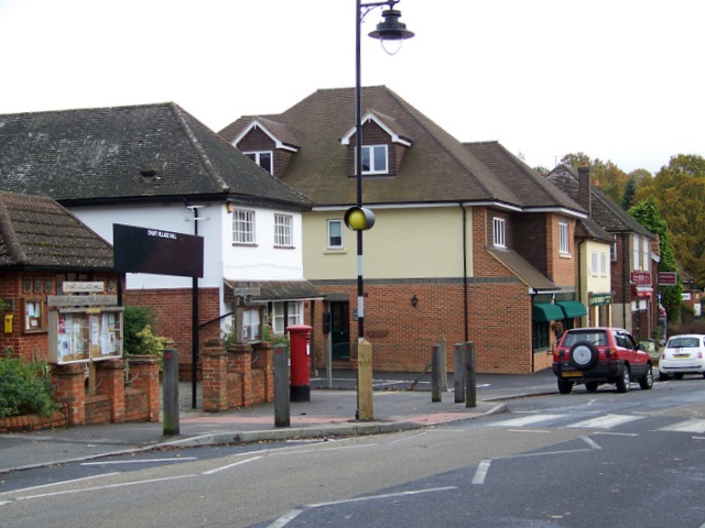
With a population of around 1,000 people, Crossways maintains a close-knit community atmosphere. The village features a range of amenities, including a local convenience store, a post office, and a village hall that hosts various community events throughout the year. Additionally, there is a primary school within the village, providing education for children in the area.

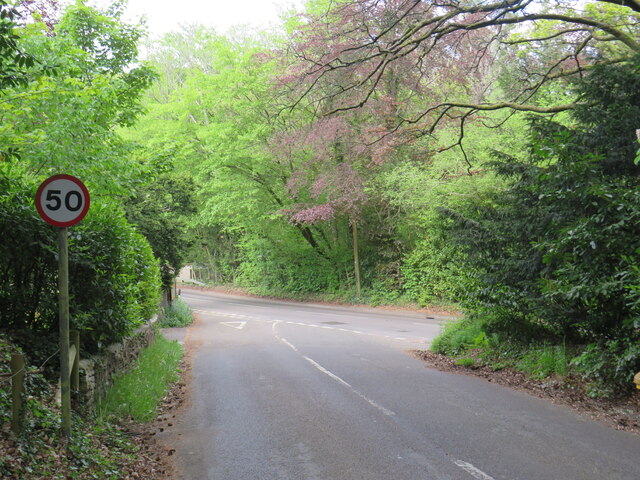
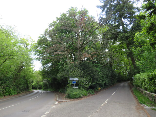
Crossways benefits from its proximity to several larger towns and cities. Nearby Oxted, just a short drive away, offers a wider range of shopping and leisure opportunities, including supermarkets, restaurants, and a leisure center. The village is well-connected to the transport network, with a regular bus service providing links to surrounding areas.

Nature enthusiasts will appreciate the village's proximity to the North Downs, an Area of Outstanding Natural Beauty. This allows for easy access to a variety of outdoor activities, such as hiking, cycling, and horse riding. The stunning landscapes and rolling hills provide a peaceful retreat from urban life.

Overall, Crossways in Surrey offers a charming rural lifestyle, with its beautiful surroundings, strong community spirit, and convenient access to nearby amenities.

If you have any feedback on the listing, please let us know in the comments section below.
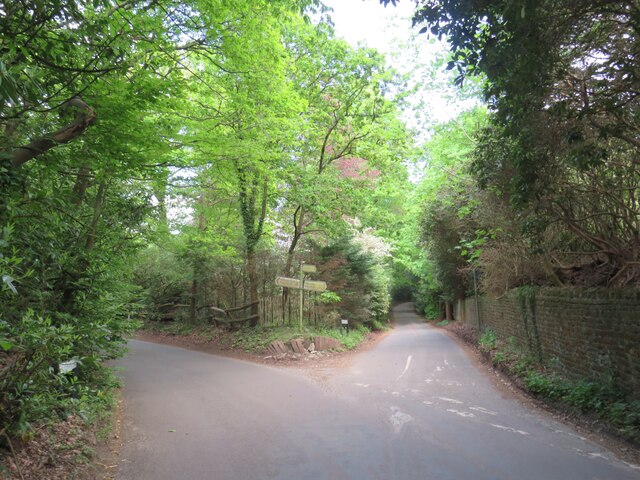
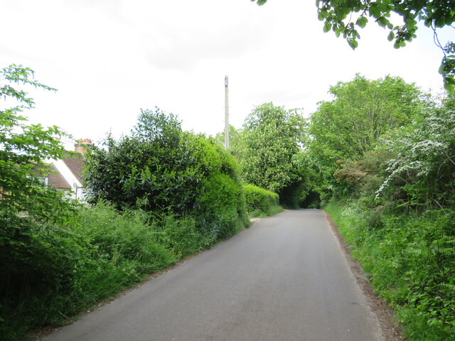
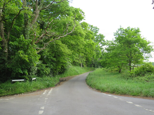
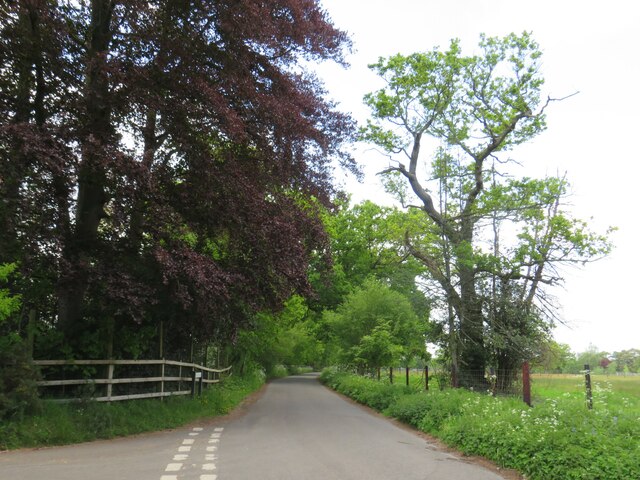
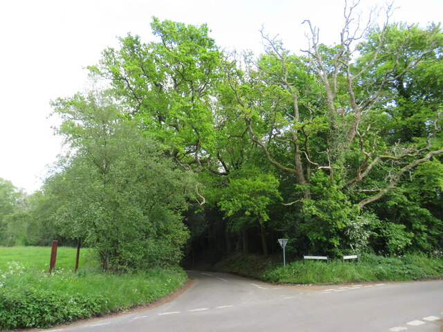
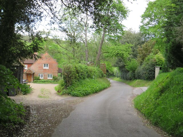
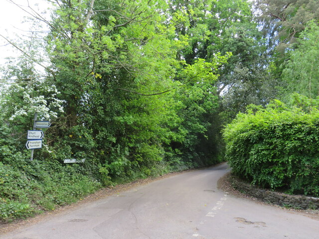
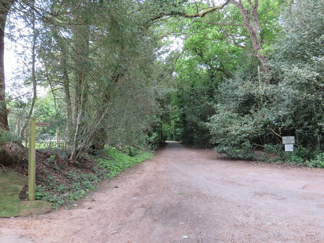
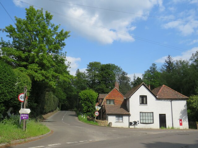
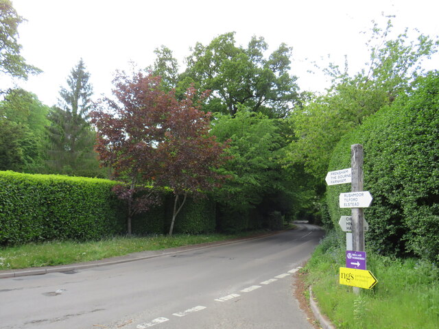
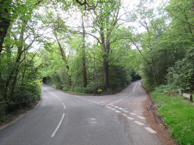
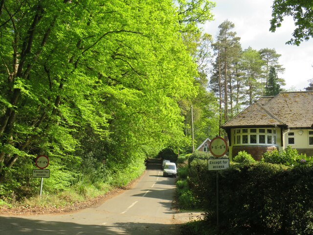
Crossways Images

Images are sourced within 2km of 51.134975/-0.7865163 or Grid Reference SU8538. Thanks to Geograph Open Source API. All images are credited.

Lane junction near Bordon A junction of minor lanes in Hampshire countryside, close to the border with Surrey.  A direction sign stands at the junction.  Over time, sap from overhanging trees has dripped onto the sign, partly obscuring it.
Lane junction near Bordon
A junction of minor lanes in Hampshire countryside, close to the border with Surrey. A direction sign stands at the junction. Over time, sap from overhanging trees has dripped onto the sign, partly obscuring it.
Frensham Lane, near Bordon Frensham Lane is a minor road through countryside in Hampshire, close to the border with Surrey.  Here it passes a farm on the left.
Frensham Lane, near Bordon
Frensham Lane is a minor road through countryside in Hampshire, close to the border with Surrey. Here it passes a farm on the left.
Bacon Lane, near Farnham Bacon Lane is a minor lane through countryside on the borers of Hampshire and Surrey.  At this point it is in Hampshire, but will cross the county boundary into Surrey less than a kilometre away.
Bacon Lane, near Farnham
Bacon Lane is a minor lane through countryside on the borers of Hampshire and Surrey. At this point it is in Hampshire, but will cross the county boundary into Surrey less than a kilometre away.
Bacon Lane, near Farnham Bacon Lane is a minor lane through countryside on the borders of Hampshire and Surrey.  Here, it is in Hampshire but will cross the boundary into Surrey about a kilometre ahead.
Bacon Lane, near Farnham
Bacon Lane is a minor lane through countryside on the borders of Hampshire and Surrey. Here, it is in Hampshire but will cross the boundary into Surrey about a kilometre ahead.
Bacon Lane, near Farnham Bacon Lane is a minor lane through countryside on the borders of Hampshire and Surrey.  In this view, it is in Hampshire.
Bacon Lane, near Farnham
Bacon Lane is a minor lane through countryside on the borders of Hampshire and Surrey. In this view, it is in Hampshire.
Wishanger Lane, near Farnham Wishanger Lane is a minor lane through countryside and woodland on the borders of Hampshire and Surrey.  Here, as it disappears into the trees, it is in Hampshire but will cross the boundary into Surrey less than half a kilometre away.
Wishanger Lane, near Farnham
Wishanger Lane is a minor lane through countryside and woodland on the borders of Hampshire and Surrey. Here, as it disappears into the trees, it is in Hampshire but will cross the boundary into Surrey less than half a kilometre away.
Wishanger Lane, near Farnham Wishanger Lane is a minor road through countryside on the borders of Hampshire and Surrey.  Here the lane passes a house on the Hampshire side of the border.  The lane will cross into Surrey about 200 metres further ahead.
Wishanger Lane, near Farnham
Wishanger Lane is a minor road through countryside on the borders of Hampshire and Surrey. Here the lane passes a house on the Hampshire side of the border. The lane will cross into Surrey about 200 metres further ahead.
Lampard Lane, Churt, near Farnham Lampard Lane is a minor lane on the edge of the Surrey village of Churt, very close to the border with Hampshire.
Lampard Lane, Churt, near Farnham
Lampard Lane is a minor lane on the edge of the Surrey village of Churt, very close to the border with Hampshire.
Public bridleway, Churt, near Farnham A public bridleway along a driveway on the edge of the village of Churt, in Surrey.  This location is very close to the border with Hampshire.
Public bridleway, Churt, near Farnham
A public bridleway along a driveway on the edge of the village of Churt, in Surrey. This location is very close to the border with Hampshire.
Star Hill Drive, Churt, near Farnham Star Hill Drive is a residential cul-de-sac on the edge of the village of Churt in Surrey.
Star Hill Drive, Churt, near Farnham
Star Hill Drive is a residential cul-de-sac on the edge of the village of Churt in Surrey.
Star Hill Drive, Churt, near Farnham Star Hill Drive is a residential cul-de-sac on the edge of the village of Churt in Surrey.
Star Hill Drive, Churt, near Farnham
Star Hill Drive is a residential cul-de-sac on the edge of the village of Churt in Surrey.
Star Hill, Churt, near Farnham Star Hill is a minor road on the edge of the village of Churt, in Surrey.  Here, the road approaches a junction with the A287.  The sign to the left of the image is a "repeater" sign reminding motorists that a speed limit of 50 miles per hour applies here.
Star Hill, Churt, near Farnham
Star Hill is a minor road on the edge of the village of Churt, in Surrey. Here, the road approaches a junction with the A287. The sign to the left of the image is a "repeater" sign reminding motorists that a speed limit of 50 miles per hour applies here.
Road junction in Churt, near Farnham A road junction on the edge of the village of Churt in Surrey.  The road to the left is the A287.
Road junction in Churt, near Farnham
A road junction on the edge of the village of Churt in Surrey. The road to the left is the A287.
The Old Post Office, Churt, near Farnham The Old Post Office stands at the corner of Jumps Road in the Surrey village of Churt.  As its name suggests, this building was once a post office.  It stall has a post box in the wall, to the right of the image.

The road passing in the foreground is the A287.
The Old Post Office, Churt, near Farnham
The Old Post Office stands at the corner of Jumps Road in the Surrey village of Churt. As its name suggests, this building was once a post office. It stall has a post box in the wall, to the right of the image. The road passing in the foreground is the A287.
A287 at Churt, near Farnham The A287 road at Churt in Surrey.
A287 at Churt, near Farnham
The A287 road at Churt in Surrey.
Road junction near Farnham A junction of minor roads in woodland, near the Surrey village of Churt.
Road junction near Farnham
A junction of minor roads in woodland, near the Surrey village of Churt.
Crabtree Lane, Churt, near Farnham Crabtree Lane is a minor lane on the edge of the village of Churt in Surrey.

A width restriction of 6 feet and 6 inches applies to prohibit large vehicles from using this road.  Vehicles needing to access properties along this road are exempt from the restriction.
Crabtree Lane, Churt, near Farnham
Crabtree Lane is a minor lane on the edge of the village of Churt in Surrey. A width restriction of 6 feet and 6 inches applies to prohibit large vehicles from using this road. Vehicles needing to access properties along this road are exempt from the restriction.
Jumps Road, Churt, near Farnham Jumps Road is a minor road through woodland on the edge of the village of Churt, in Surrey.
Jumps Road, Churt, near Farnham
Jumps Road is a minor road through woodland on the edge of the village of Churt, in Surrey.
Show me another place!

Crossways is located at Grid Ref: SU8538 (Lat: 51.134975, Lng: -0.7865163)

Administrative County: Surrey

District: Waverley

Police Authority: Surrey

What 3 Words

///cleanser.mixer.talent. Near Churt, Surrey

Nearby Locations

Churt Crossways Churt

Related Wikis

Churt

Churt is a village and civil parish in the borough of Waverley in Surrey, England, about 5.5 miles (8.9 km) south of the town of Farnham on the A287 road...

Barford, Hampshire

Barford is a scattered hamlet in the civil parish of Headley in the East Hampshire district of Hampshire, England. The village lies on the Hampshire-Surrey...

Headley Down

Headley Down is a village within the civil parish of Headley in the East Hampshire district of Hampshire, England, bounded on two sides by Ludshott Common...

Arford

Arford is a village in the East Hampshire district of Hampshire, England, just north of the B3002 road, and is part of the civil parish of Headley. The...

Devil's Jumps, Churt

The Devil's Jumps are a series of three small hills near the village of Churt in the county of Surrey in southern England. In the 18th century, the hills...

Stockstone Quarry

Stockstone Quarry is a 3.9-hectare (9.6-acre) geological Site of Special Scientific Interest south of Farnham in Surrey. It is a Geological Conservation...

Bron-y-de

Bron-y-de (transl. 'Breast of the south') was a house and surrounding farm in the village of Churt in the southern English county of Surrey. The main house...

Beacon Hill (Hindhead, Surrey)

Beacon Hill, while ecumenically and administratively part of Hindhead, Surrey, is a discrete settlement with its own history, amenities and character....

Nearby Amenities

Located within 500m of 51.134975,-0.7865163
Barford
Building: yes
Source: npe
Lat/Long: 51.1349674/-0.7834561
Barrier: stile
Material: wood
Lat/Long: 51.1323503/-0.7887385
Barrier: stile
Lat/Long: 51.1354713/-0.7914592
Give Way
Lat/Long: 51.1349101/-0.7838854
Plaster Hall Farm
Landuse: farm
Note Retag: CS #48756035
Source: OS_OpenData_StreetView
Lat/Long: 51.1338917/-0.7906721
Lower Coombe Farm
Landuse: farm
Note Retag: CS #48756035
Source: OS_OpenData_StreetView
Lat/Long: 51.1325453/-0.7897173
Coombe Farm
Landuse: farm
Note Retag: CS #48756035
Source: OS_OpenData_StreetView
Lat/Long: 51.1321952/-0.7880865
Barrier: stile
Foot: designated
Material: wood
Lat/Long: 51.1358946/-0.7922172
The data included in this document is from www.openstreetmap.org. The data is made available under ODbL.

Have you been to Crossways?

Leave your review of Crossways below (or comments, questions and feedback).