Three Cornered Plantation

Wood, Forest in Devon North Devon

England

Three Cornered Plantation

Rackenford: All Saints church The building was closed to visitors in September 2006 while conservation and repair work was undertaken by a specialist masonry firm. The nearby 12th century Stag Inn predates the church. Looking west-north-west
Rackenford: All Saints church Credit: Martin Bodman

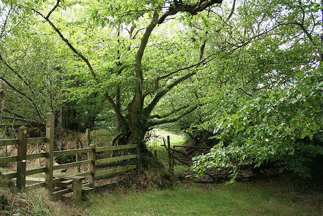
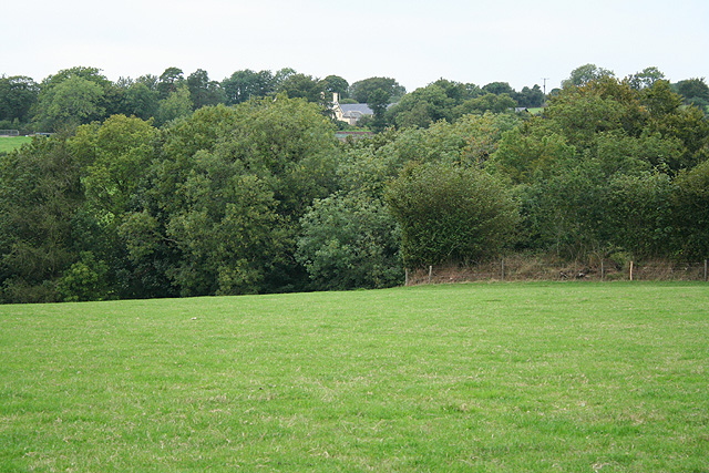
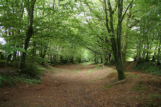
Three Cornered Plantation is a picturesque woodland located in Devon, England. Covering an area of approximately 100 acres, this enchanting forest is a popular destination for nature enthusiasts and outdoor lovers.

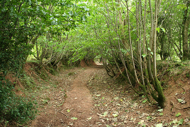
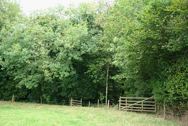
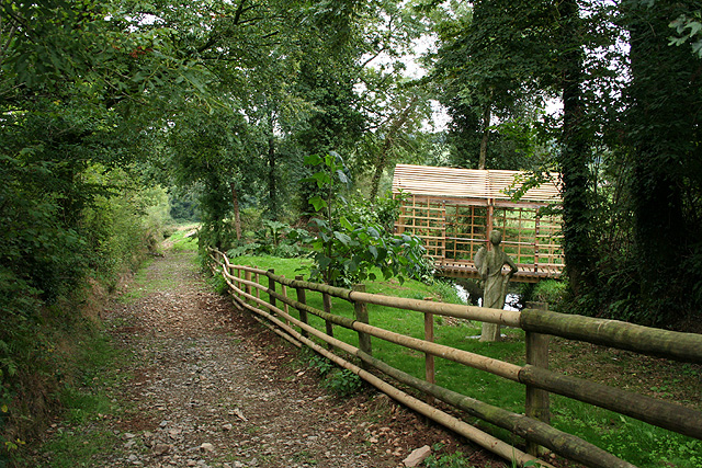
The plantation gets its name from its unique triangular shape, which is formed by three intersecting paths that run through the woodland. These paths not only provide easy access for visitors but also offer a delightful opportunity for leisurely walks and exploration. The forest is predominantly composed of native tree species, including oak, beech, and birch, creating a rich and diverse ecosystem.

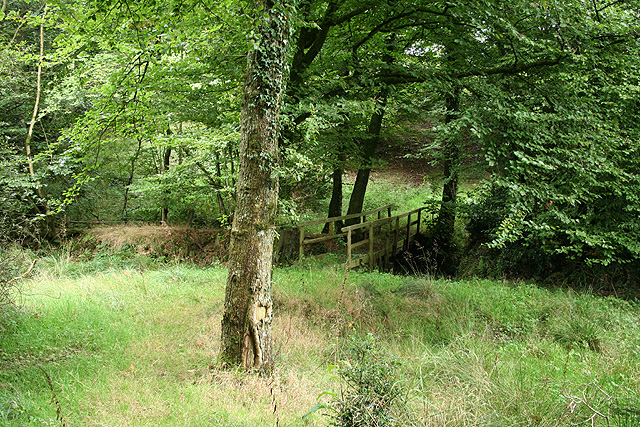
The woodland is home to a wide range of flora and fauna, making it a haven for wildlife. Keen-eyed visitors may spot squirrels darting through the branches, or catch a glimpse of various bird species such as woodpeckers and jays. The forest floor is carpeted with a tapestry of wildflowers during the spring and summer months, adding a burst of color to the serene surroundings.

Three Cornered Plantation is not only a natural treasure but also holds historical significance. It is believed to have been part of an ancient hunting ground, dating back to medieval times. This adds an air of mystery and intrigue to the woodland, as visitors can imagine themselves stepping into the footsteps of past generations.

Overall, Three Cornered Plantation offers a tranquil escape from the hustle and bustle of daily life. Whether it's enjoying a peaceful stroll, observing the local wildlife, or simply immersing oneself in the beauty of nature, this Devon woodland provides a captivating experience for all who visit.

If you have any feedback on the listing, please let us know in the comments section below.

Three Cornered Plantation Images

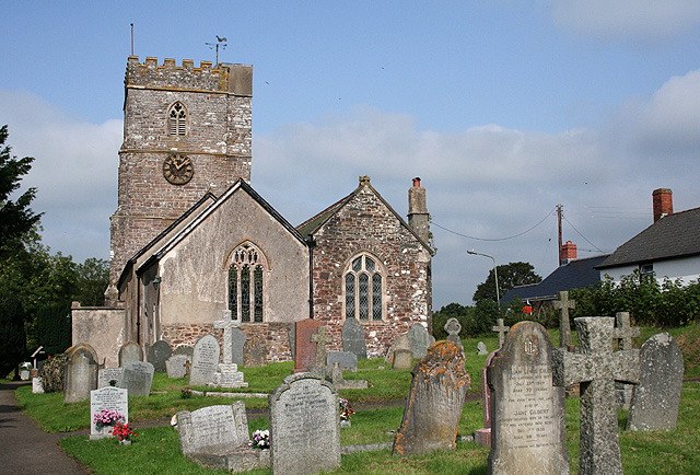
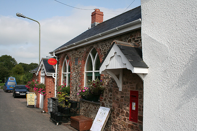
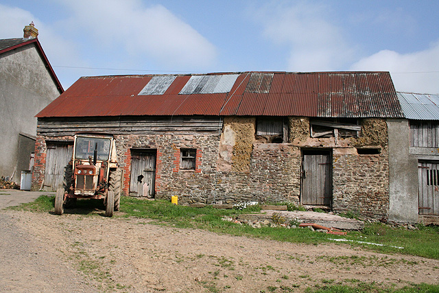
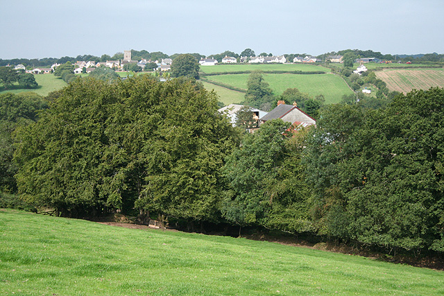
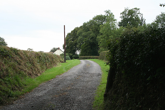
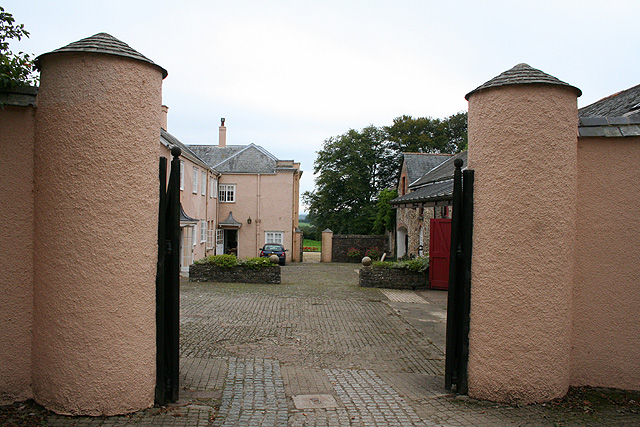
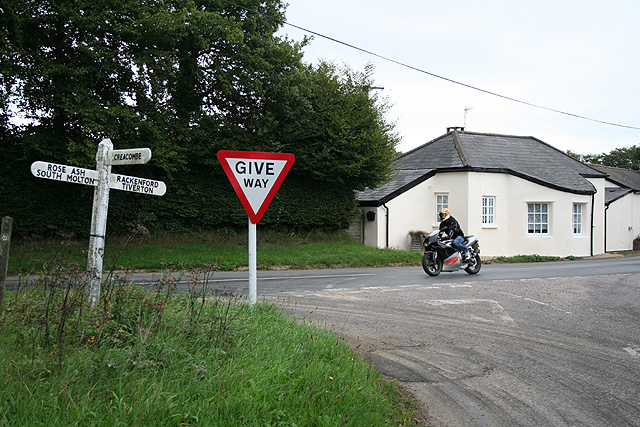
Images are sourced within 2km of 50.95687/-3.6448195 or Grid Reference SS8418. Thanks to Geograph Open Source API. All images are credited.

Rackenford: All Saints church The building was closed to visitors in September 2006 while conservation and repair work was undertaken by a specialist masonry firm. The nearby 12th century Stag Inn predates the church. Looking west-north-west
Rackenford: All Saints church
The building was closed to visitors in September 2006 while conservation and repair work was undertaken by a specialist masonry firm. The nearby 12th century Stag Inn predates the church. Looking west-north-west
Rackenford: Post Office Originally one of three schools built in the village and dating from 1848, the structure was converted to a shop and Post Office in 2003. Looking north west
Rackenford: Post Office
Originally one of three schools built in the village and dating from 1848, the structure was converted to a shop and Post Office in 2003. Looking north west
Rackenford: crossing the Little Dart A footbridge on the path between the village and Lower Bulworthy. Looking north west
Rackenford: crossing the Little Dart
A footbridge on the path between the village and Lower Bulworthy. Looking north west
Rackenford: Lower Bulworthy Barn of stone, cob, brick, wood and corrugated iron, fronted by a David Brown tractor. Looking north-north-west from a public footpath. Bulworthy was a Domesday estate
Rackenford: Lower Bulworthy
Barn of stone, cob, brick, wood and corrugated iron, fronted by a David Brown tractor. Looking north-north-west from a public footpath. Bulworthy was a Domesday estate
Rackenford: towards the village Above Lower Bulworthy and bearing west-north-west towards the village
Rackenford: towards the village
Above Lower Bulworthy and bearing west-north-west towards the village
Rackenford: between Lower Bulworthy and Tidderson Moor On a public footpath looking south-south-east
Rackenford: between Lower Bulworthy and Tidderson Moor
On a public footpath looking south-south-east
Rackenford: near Rackenford Cross Looking west-north-west. Locals keep a look-out for the Tiverton Staghounds
Rackenford: near Rackenford Cross
Looking west-north-west. Locals keep a look-out for the Tiverton Staghounds
Rackenford: war memorial At Rackenford Cross. Looking north. The men slain in the First World War are commemorated together with a lone individual in the Second World War
Rackenford: war memorial
At Rackenford Cross. Looking north. The men slain in the First World War are commemorated together with a lone individual in the Second World War
Rackenford: a green lane Looking south-south-east on an old way from West Backstone to Rackenford village
Rackenford: a green lane
Looking south-south-east on an old way from West Backstone to Rackenford village
Rackenford: towards West Backstone On a public footpath, crossing a field, looking west-north-west
Rackenford: towards West Backstone
On a public footpath, crossing a field, looking west-north-west
Rackenford: wooded valley On a public footpath to West Backstone, looking north west
Rackenford: wooded valley
On a public footpath to West Backstone, looking north west
Rackenford: by West Backstone A public footpath to Rackenford village runs by the farmhouse and then past this statue of Fortuna, erected by the farm’s owner after his estate was narrowly spared from foot-and-mouth in 2001. Fortuna holds a cornucopia in her left arm; her right hand on a tiller. Backstone was an extant estate at Domesday; East Backstone once stood adjacent to West Backstone farm. Looking east-north-east
Rackenford: by West Backstone
A public footpath to Rackenford village runs by the farmhouse and then past this statue of Fortuna, erected by the farm’s owner after his estate was narrowly spared from foot-and-mouth in 2001. Fortuna holds a cornucopia in her left arm; her right hand on a tiller. Backstone was an extant estate at Domesday; East Backstone once stood adjacent to West Backstone farm. Looking east-north-east
Rackenford: approaching a stream Public footpath to Rackenford village, looking east-south-east
Rackenford: approaching a stream
Public footpath to Rackenford village, looking east-south-east
Rackenford: entrance to West Nutcott Looking west-south-west
Rackenford: entrance to West Nutcott
Looking west-south-west
Rackenford: Rackenford Manor A rare glimpse through the gateway of this private residence. Earlier known as Cruwyshaye, it stands on the site of an older manor house. Looking south-south-west
Rackenford: Rackenford Manor
A rare glimpse through the gateway of this private residence. Earlier known as Cruwyshaye, it stands on the site of an older manor house. Looking south-south-west
Rackenford: old toll house The house stands by the junction of the Tiverton – South Molton road, the B3221, with the route from Creacombe. Nearby the Two Moors Way runs north as a green lane. Looking east-north-east
Rackenford: old toll house
The house stands by the junction of the Tiverton – South Molton road, the B3221, with the route from Creacombe. Nearby the Two Moors Way runs north as a green lane. Looking east-north-east
Rackenford: Two Moors Way An old green way. By North Backstone, looking north
Rackenford: Two Moors Way
An old green way. By North Backstone, looking north
Rackenford: above the Little Dart Overlooking the valley between Rackenford and Witheridge. Looking south west
Rackenford: above the Little Dart
Overlooking the valley between Rackenford and Witheridge. Looking south west
Show me another place!

Three Cornered Plantation is located at Grid Ref: SS8418 (Lat: 50.95687, Lng: -3.6448195)

Administrative County: Devon

District: North Devon

Police Authority: Devon and Cornwall

What 3 Words

///hothouse.requests.recapture. Near Witheridge, Devon

Related Wikis

Rackenford

Rackenford is a village and civil parish in North Devon, England. It is roughly located 7.31 miles North West of Tiverton and 20 miles South East of Barnstaple...

Rackenford and Knowstone Moors

Rackenford and Knowstone Moors is a nature reserve of the Devon Wildlife Trust, situated about 8 miles (13 km) north-west of Tiverton, in Devon, England...

Batsworthy

Batsworthy is a village in Devon, England. == References ==

Creacombe

Creacombe is a small village and former civil parish, now in the parish of Rackenford, in the North Devon district of Devon, England. Its nearest town...

Nearby Amenities

Located within 500m of 50.95687,-3.6448195
Generator Method: photovoltaic
Generator Output Electricity: yes
Generator Source: solar
Generator Type: solar_photovoltaic_panel
Location: roof
Power: generator
Lat/Long: 50.9589581/-3.6504583
Power: pole
Source: bing
Lat/Long: 50.9559398/-3.6477354
Power: pole
Source: bing
Transformer: distribution
Lat/Long: 50.9531158/-3.6420407
Power: pole
Source: bing
Lat/Long: 50.9538308/-3.6428234
Power: pole
Source: bing
Lat/Long: 50.9541727/-3.6432587
Power: pole
Source: bing
Lat/Long: 50.95466/-3.6444721
Power: pole
Source: bing
Lat/Long: 50.955125/-3.6456378
Power: pole
Source: bing
Lat/Long: 50.9556327/-3.6469296
Power: pole
Source: bing
Lat/Long: 50.9565123/-3.6484244
Poles: bipole
Power: pole
Source: bing
Transformer: distribution
Lat/Long: 50.9584516/-3.6508573
Power: pole
Source: bing
Lat/Long: 50.9571497/-3.6492349
Power: pole
Source: bing
Lat/Long: 50.9578152/-3.6500561
Power: pole
Source: bing
Transformer: distribution
Lat/Long: 50.9585609/-3.6396191
Power: pole
Source: bing
Lat/Long: 50.9584597/-3.6383495
Power: pole
Source: bing
Lat/Long: 50.9542905/-3.6415849
Power: pole
Source: bing
Lat/Long: 50.9550932/-3.6397262
Power: pole
Source: bing
Lat/Long: 50.9553889/-3.638989
The data included in this document is from www.openstreetmap.org. The data is made available under ODbL.

Have you been to Three Cornered Plantation?

Leave your review of Three Cornered Plantation below (or comments, questions and feedback).