Churchtown

Settlement in Somerset Somerset West and Taunton

England

Churchtown

Forest Track Croydon Hill
Forest Track Croydon Hill Credit: thejackrustles

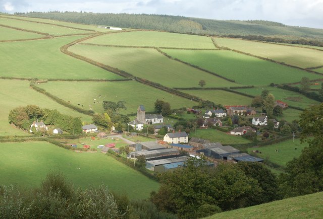
Churchtown is a small village located in the county of Somerset, England. Situated approximately 4 miles to the south of Glastonbury, it is nestled in the picturesque countryside of the Somerset Levels. The village is known for its charming and idyllic setting, surrounded by rolling hills and green fields.

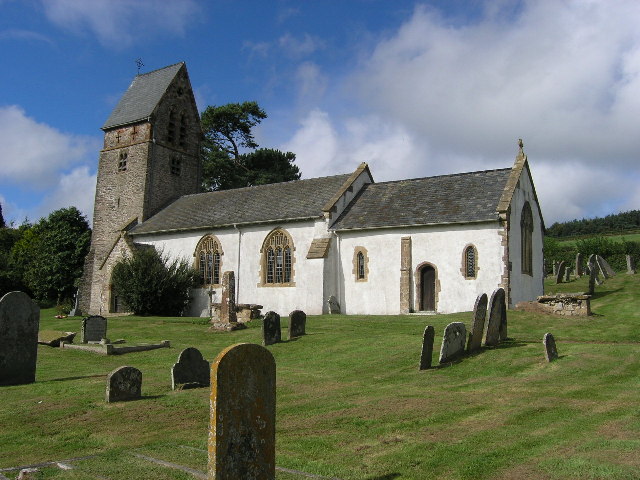
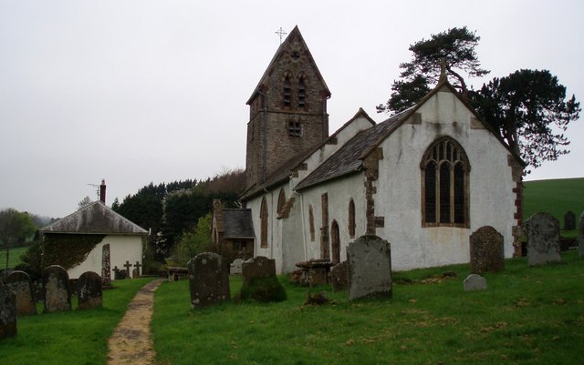
One of the prominent features of Churchtown is its historic church, which dates back to the 12th century. St. Mary's Church, with its stunning architecture, is a sight to behold and draws visitors from near and far. The churchyard is also a peaceful spot, perfect for a quiet stroll or reflection.

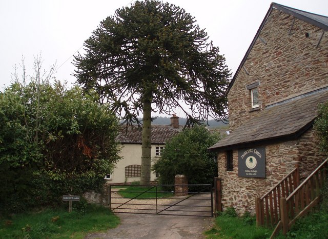
The village itself is made up of a cluster of traditional stone cottages, giving it a quintessential English countryside feel. Despite its small size, Churchtown has a strong sense of community, with a friendly and welcoming atmosphere. The locals take great pride in their village and actively participate in various community events and activities.

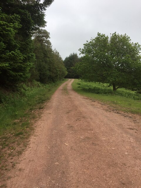
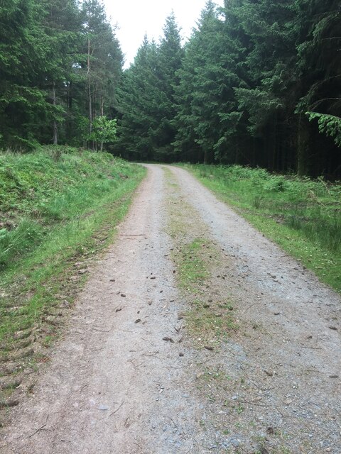
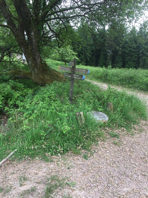
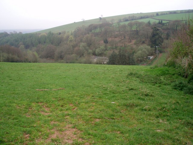
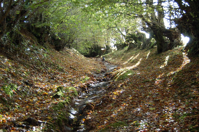
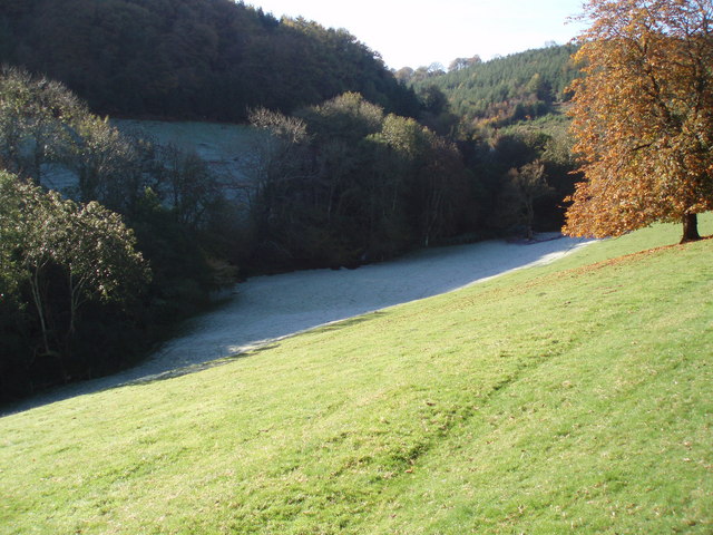
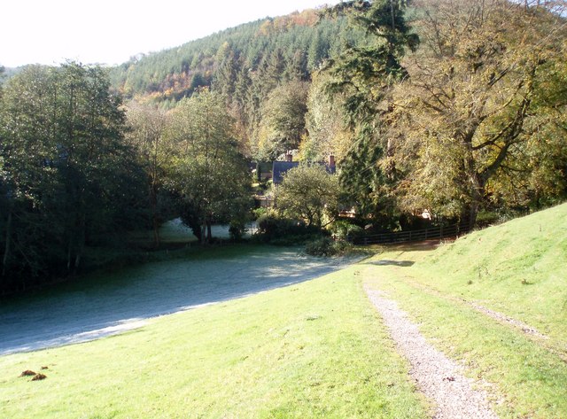
For nature enthusiasts, Churchtown offers plenty of opportunities to explore the surrounding countryside. The nearby Somerset Levels is a designated Area of Outstanding Natural Beauty, with its vast wetlands, meandering rivers, and diverse wildlife. Visitors can enjoy leisurely walks, bird-watching, or even hire a boat to navigate the tranquil waterways.

Although Churchtown may be tranquil and peaceful, it is conveniently located within easy reach of larger towns and cities. Glastonbury, with its famous Tor and vibrant music festival, is a short drive away, offering a range of amenities and entertainment options.

In summary, Churchtown is a charming village in Somerset, known for its historic church, stunning countryside, and strong sense of community. It is a perfect destination for those seeking a peaceful retreat in a beautiful rural setting.

If you have any feedback on the listing, please let us know in the comments section below.

Churchtown Images

Images are sourced within 2km of 51.131488/-3.4683616 or Grid Reference SS9737. Thanks to Geograph Open Source API. All images are credited.

Forest Track Croydon Hill
Sign Post near Croydon Hill Trig Point
LUXBOROUGH, St Mary's Church, Somerset St Mary's Church
LUXBOROUGH, St Mary's Church, Somerset
St Mary's Church
Trig Point on Withycombe Hill. Photograph looking northwest. The trig point is at 381 metres.
Trig Point on Withycombe Hill.
Photograph looking northwest. The trig point is at 381 metres.
The Royal Oak at Luxborough This part of Luxborough is known as Kingsbridge. The Inn did feature in the Daily Telegraph's Best UK pub a few years ago!
The Royal Oak at Luxborough
This part of Luxborough is known as Kingsbridge. The Inn did feature in the Daily Telegraph's Best UK pub a few years ago!
Lower road bridge at Pooltown, Luxborough The infant Washford river, having started higher up as Tarr Water, first runs west, here turns north through Luxborough then runs NE through Roadwater to enter the Bristol Channel at Watchet
Lower road bridge at Pooltown, Luxborough
The infant Washford river, having started higher up as Tarr Water, first runs west, here turns north through Luxborough then runs NE through Roadwater to enter the Bristol Channel at Watchet
St. Mary's Church Luxborough This unusual little church has an elevated position just above the part of Luxborough known as Churchtown.
St. Mary's Church Luxborough
This unusual little church has an elevated position just above the part of Luxborough known as Churchtown.
Nurcott Farm. This smart farm now offers holiday cottages to rent.
Nurcott Farm.
This smart farm now offers holiday cottages to rent.
Coming down from Monkham Wood. The lane ahead is Stout's Way Lane.
Coming down from Monkham Wood.
The lane ahead is Stout's Way Lane.
Des Res. This stunning house is approached by a long private drive on the other side of the Washford River which runs through the garden. The photograph is taken from the lane between Luxborough and Roadwater.
Des Res.
This stunning house is approached by a long private drive on the other side of the Washford River which runs through the garden. The photograph is taken from the lane between Luxborough and Roadwater.
View across the Valley Taken on a drizzly spring day, the solitary house in the bottom of the valley is on the lane to Chargot House.
View across the Valley
Taken on a drizzly spring day, the solitary house in the bottom of the valley is on the lane to Chargot House.
Bridleway along the edge of Croydon Hill Forest The forestry plantation is on the left hand side of the track; to the right is farmland.
Bridleway along the edge of Croydon Hill Forest
The forestry plantation is on the left hand side of the track; to the right is farmland.
Part of The Samaritans Way (South West) Torrential rain had recently washed away the thin layer of soil to expose the bedrock down the centre of this old and little-used bridleway.
Part of The Samaritans Way (South West)
Torrential rain had recently washed away the thin layer of soil to expose the bedrock down the centre of this old and little-used bridleway.
Churchtown viewed from Samaritans Way Churchtown, with it historic church, is one of the three hamlets which make up the Parish of Luxborough.
Churchtown viewed from Samaritans Way
Churchtown, with it historic church, is one of the three hamlets which make up the Parish of Luxborough.
Collyhill Wood From the footpath to Kennisham Hill.
Collyhill Wood
From the footpath to Kennisham Hill.
Ground frost and autumn sunshine Chargot Wood in the background.
Ground frost and autumn sunshine
Chargot Wood in the background.
House at the edge of Chargot Wood
Show me another place!

Churchtown is located at Grid Ref: SS9737 (Lat: 51.131488, Lng: -3.4683616)

Administrative County: Somerset

District: Somerset West and Taunton

Police Authority: Avon and Somerset

What 3 Words

///promises.spellings.chef. Near Minehead, Somerset

Related Wikis

St Mary's Church, Luxborough

The Anglican St Mary's Church at Luxborough within the English county of Somerset dates from the 13th century. It is a Grade II listed building.The chancel...

Luxborough

Luxborough is a small village and civil parish located some 6 miles (9.7 km) south of Dunster, lying amongst the Brendon Hills and the Exmoor National...

Brendon Hills

The Brendon Hills are a range of hills in west Somerset, England. The hills merge level into the eastern side of Exmoor and are included within the Exmoor...

Luxborough Road railway station

Luxborough Road (sometimes referred to as "Langham" or "Langham Hill") was an intermediate station on the West Somerset Mineral Railway (WSMR), which was...

Gupworthy railway station

Gupworthy (sometimes referred to as "Goosemoor") was originally intended as an intermediate station on the West Somerset Mineral Railway (WSMR), but neither...
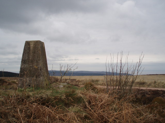
Rodhuish Common

Rodhuish Common is a univallate Iron Age hill fort in the West Somerset district of Somerset, England. There is a small oval enclosure which is thought...

Church of St Peter, Williton

The Anglican Church of St Peter in Williton in the English county of Somerset is recorded in the National Heritage List for England as a designated Grade...

St Peter's Church, Treborough

The Anglican St Peter's Church at Treborough within the English county of Somerset dates from the 14th century. It is a Grade II* listed building.Although...

Nearby Amenities

Located within 500m of 51.131488,-3.4683616
Post Box
Operator: Royal Mail
Operator Wikidata: Q638098
Post Box Type: wall
Ref: TA23 28
Royal Cypher: VR
Royal Cypher Wikidata: Q33102356
Lat/Long: 51.1321342/-3.4686242
Churchtown
Place: hamlet
Source: OS_OpenData_StreetView
Lat/Long: 51.1315221/-3.466044
Luxborough
Is In: Somerset, England, UK
Place: village
Source: OS_OpenData_StreetView
Wikidata: Q1851067
Wikipedia: en:Luxborough
Lat/Long: 51.1309926/-3.4630594
The data included in this document is from www.openstreetmap.org. The data is made available under ODbL.

Have you been to Churchtown?

Leave your review of Churchtown below (or comments, questions and feedback).