Brow Wood
Wood, Forest in Somerset Somerset West and Taunton
England
Brow Wood

Brow Wood, located in Somerset, England, is a picturesque woodland area renowned for its natural beauty and diverse ecosystem. Spanning over several acres, this ancient forest is a haven for wildlife enthusiasts and nature lovers alike.
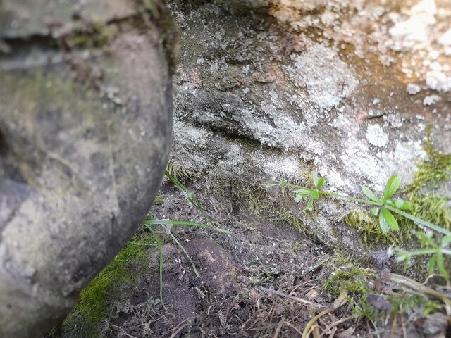
The wood is characterized by its dense canopy of towering trees, primarily consisting of oak, beech, and birch. The interwoven branches provide a sheltered and tranquil environment, creating a sense of serenity for visitors. The forest floor is adorned with an array of wildflowers, ferns, and moss, adding to the enchanting atmosphere.
Brow Wood boasts a rich biodiversity, with an abundance of wildlife calling it home. Birdwatchers can spot a variety of species, including woodpeckers, owls, and songbirds. The forest is also inhabited by mammals such as deer, foxes, and badgers, which can occasionally be spotted during dawn or dusk.
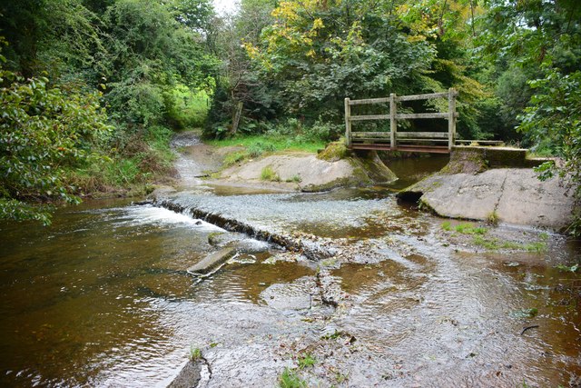
For outdoor enthusiasts, Brow Wood offers a network of well-maintained trails, allowing visitors to explore its natural wonders at their own pace. These pathways wind through the forest, offering breathtaking views and opportunities for nature photography. Educational signs along the trails provide information about the flora and fauna found in the wood, enhancing the visitor's experience.
Brow Wood is a popular destination for families, providing a safe and engaging environment for children to learn about nature. The wood hosts various educational events and workshops throughout the year, aimed at fostering an understanding and appreciation for the natural world.
In conclusion, Brow Wood in Somerset is a captivating woodland retreat, offering a serene and immersive experience in nature. With its diverse ecosystem, well-marked trails, and educational opportunities, it is a must-visit destination for anyone seeking solace in the beauty of the natural world.
If you have any feedback on the listing, please let us know in the comments section below.
Brow Wood Images
Images are sourced within 2km of 51.142531/-3.6688096 or Grid Reference SS8339. Thanks to Geograph Open Source API. All images are credited.


Brow Wood is located at Grid Ref: SS8339 (Lat: 51.142531, Lng: -3.6688096)
Administrative County: Somerset
District: Somerset West and Taunton
Police Authority: Avon and Somerset
What 3 Words
///known.shower.roosters. Near Porlock, Somerset
Related Wikis

Exford, Somerset
Exford is a rural village at the centre of Exmoor National Park, 7 miles (11 km) north-west of Dulverton, and 10 miles (16 km) south-west of Minehead,...

Almsworthy Common
Almsworthy Common is a small area of unenclosed land in Exmoor, south-western England. It contains a number of archaeological sites. It is about 2 miles...

Church of St Mary Magdelene, Exford
The Anglican Church of St Mary Magdelene in Exford, Somerset, England was built in the 15th century. It is a Grade II* listed building. == History == Nothing...

Alderman's Barrow
Alderman's Barrow is a bowl barrow on Exmoor. It was created as a burial chamber in the Bronze Age and subsequently became a marker for the boundary of...
Have you been to Brow Wood?
Leave your review of Brow Wood below (or comments, questions and feedback).