Stancombe Wood

Wood, Forest in Devon South Hams

England

Stancombe Wood

Field near Broadley Farm A track leaves the lane between Bow and Pruston Barton to run past a tree and down into the valley of a tributary of the Gara. All very dry during the drought.
Field near Broadley Farm Credit: Derek Harper

Stancombe Wood, located in the beautiful county of Devon, is a captivating woodland that spans over a vast area. Nestled amidst the rolling hills and picturesque countryside, it is a haven for nature enthusiasts and those seeking tranquility.

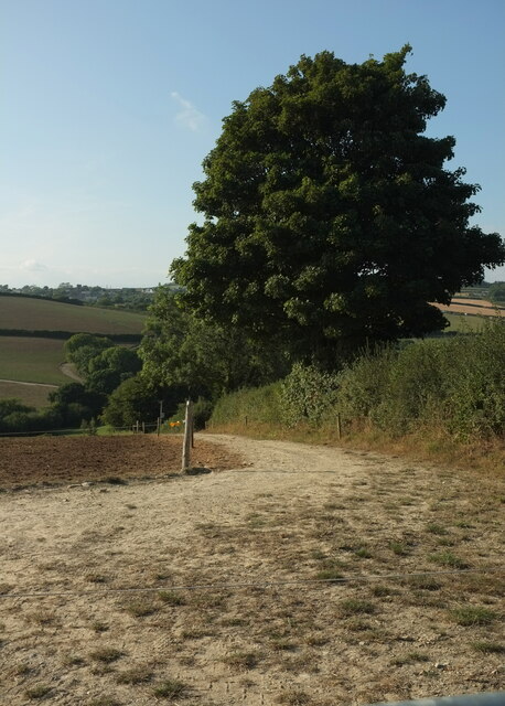
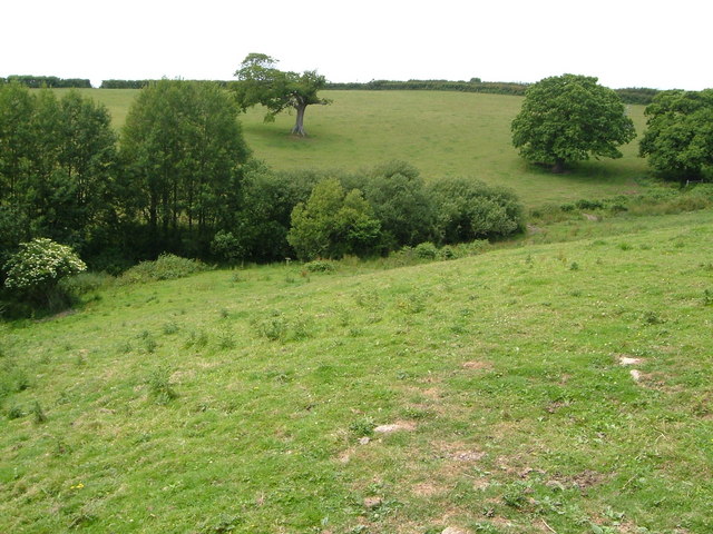
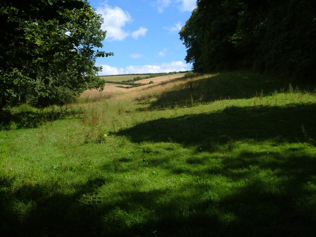
Covering an extensive expanse of land, Stancombe Wood is characterized by its dense canopy of trees, predominantly consisting of oak, beech, and ash varieties. The woodland floor is adorned with an array of wildflowers, creating a colorful tapestry during the spring and summer months.

The wood is home to a diverse range of wildlife, providing a natural habitat for numerous species. Visitors may be fortunate enough to spot deer, foxes, rabbits, and various bird species, including woodpeckers and owls. The tranquil atmosphere and abundance of flora and fauna make Stancombe Wood an ideal destination for birdwatchers and wildlife enthusiasts.

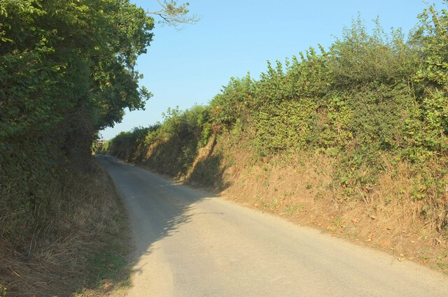
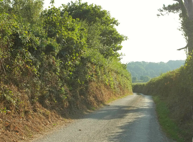
For those seeking outdoor recreational activities, the wood offers a network of well-maintained footpaths and trails, allowing visitors to explore its natural splendor. Whether it be a leisurely stroll or a more challenging hike, there are paths suitable for all ages and fitness levels.

Stancombe Wood also holds historical significance, with remnants of ancient earthworks and archaeological sites scattered throughout. This adds an element of intrigue and fascination for history enthusiasts, providing a glimpse into the area's rich past.

Overall, Stancombe Wood is a captivating destination, offering a perfect blend of natural beauty, wildlife, and historical charm. A visit to this enchanting woodland is sure to leave a lasting impression on all who venture within its tranquil embrace.

If you have any feedback on the listing, please let us know in the comments section below.

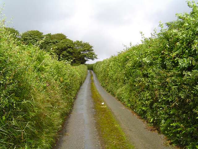
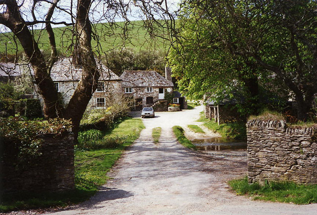
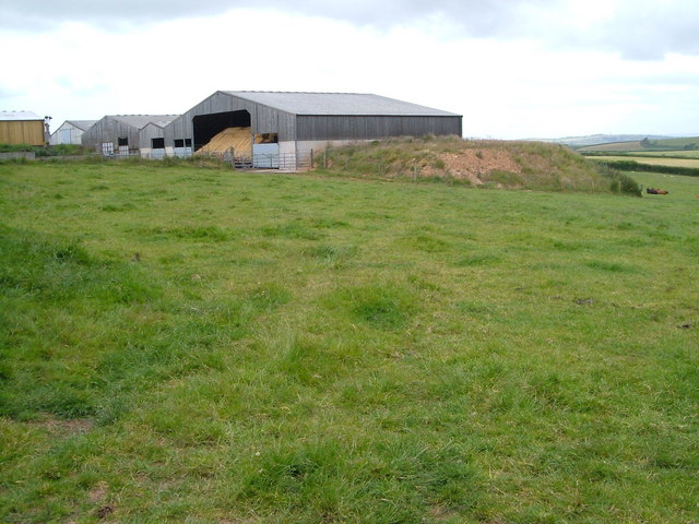
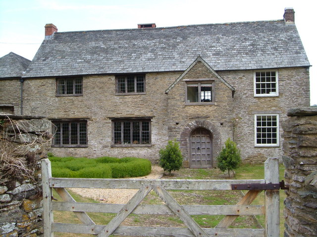
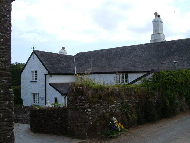
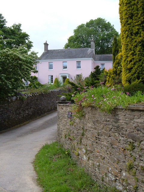
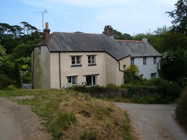
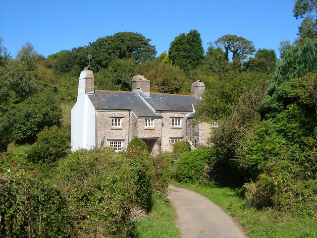
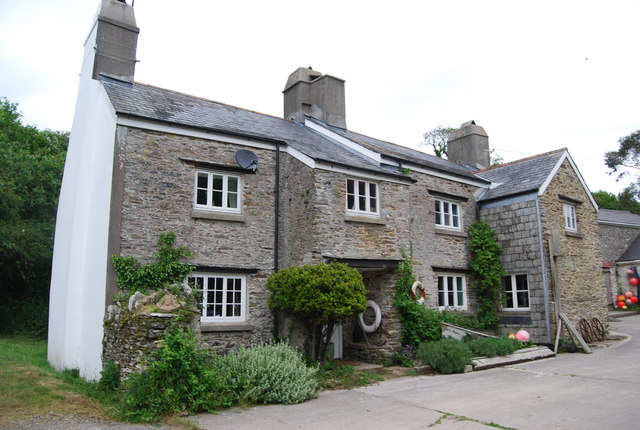
Stancombe Wood Images

Images are sourced within 2km of 50.332296/-3.6430462 or Grid Reference SX8349. Thanks to Geograph Open Source API. All images are credited.

Field near Broadley Farm A track leaves the lane between Bow and Pruston Barton to run past a tree and down into the valley of a tributary of the Gara. All very dry during the drought.
Field near Broadley Farm
A track leaves the lane between Bow and Pruston Barton to run past a tree and down into the valley of a tributary of the Gara. All very dry during the drought.
Lane near Pruston Barton Looking right from <a href="https://www.geograph.org.uk/photo/7269513">SX8149 : Field near Broadley Farm</a> up the lane from Bow.
Lane near Pruston Barton
Looking right from SX8149 : Field near Broadley Farm up the lane from Bow.
Lane to Bow Looking left from <a href="https://www.geograph.org.uk/photo/7269513">SX8149 : Field near Broadley Farm</a> and therefore in the opposite direction to <a href="https://www.geograph.org.uk/photo/7273889">SX8149 : Lane near Pruston Barton</a>.
Lane to Bow
Looking left from SX8149 : Field near Broadley Farm and therefore in the opposite direction to SX8149 : Lane near Pruston Barton.
Fuge Farm - South Hams A typical South Devon farm.
Fuge Farm - South Hams
A typical South Devon farm.
Devon small road Small road leading down to Forder
Devon small road
Small road leading down to Forder
The road ends here A farmtrack from here on.
The road ends here
A farmtrack from here on.
Stoke Fleming: Riversbridge Once a farm and now, it appears, a private residence. A bridlepath runs through the property to Worden. Ponds here provided water to the four mills in the Em valley, which leads to Blackpool Sands
Stoke Fleming: Riversbridge
Once a farm and now, it appears, a private residence. A bridlepath runs through the property to Worden. Ponds here provided water to the four mills in the Em valley, which leads to Blackpool Sands
Slapton: Gara Mill Now a centre for holiday lodges, this was once a working watermill and the structure carries a datestone from 1559
Slapton: Gara Mill
Now a centre for holiday lodges, this was once a working watermill and the structure carries a datestone from 1559
Homer Park, Strete Agricultural buildings on the east side of Homer Park, seen from Norns Lane.
Homer Park, Strete
Agricultural buildings on the east side of Homer Park, seen from Norns Lane.
Great Coombe, near Stoke Fleming According to Cherry & Pevsner, "a late C16 and C17 farmhouse adapted from an earlier ... building ...the two-storey porch with richly moulded doorcase and contemporary door are of c 1600". The very rich architectural heritage of this building is described at <span class="nowrap"><a title="http://www.imagesofengland.org.uk/Details/Default.aspx?id=99913&mode=adv" rel="nofollow ugc noopener" href="http://www.imagesofengland.org.uk/Details/Default.aspx?id=99913&mode=adv">Link</a><img style="margin-left:2px;" alt="External link" title="External link - shift click to open in new window" src="https://s1.geograph.org.uk/img/external.png" width="10" height="10"/></span> .
Great Coombe, near Stoke Fleming
According to Cherry & Pevsner, "a late C16 and C17 farmhouse adapted from an earlier ... building ...the two-storey porch with richly moulded doorcase and contemporary door are of c 1600". The very rich architectural heritage of this building is described at LinkExternal link .
View near Bowden From the lane between Bowden and Ash Cross just above Higher Bowden Holiday Cottages, looking across a small valley that joins the Blackpool valley.
View near Bowden
From the lane between Bowden and Ash Cross just above Higher Bowden Holiday Cottages, looking across a small valley that joins the Blackpool valley.
Higher Ash Farm Part of a hamlet in the South Hams consisting of several farms, their cottages, and a main house.
Higher Ash Farm
Part of a hamlet in the South Hams consisting of several farms, their cottages, and a main house.
Bowden House There are actually seven bays to the facade of this C18 country house inland from Blackpool Sands, but only the projecting central three can clearly be seen from the lane. "The centre 3 bays section is the original house and the flanking 2 bays set back are the early C19 wings." This and a great deal more at <span class="nowrap"><a title="http://www.imagesofengland.org.uk/Details/Default.aspx?id=99934&mode=adv" rel="nofollow ugc noopener" href="http://www.imagesofengland.org.uk/Details/Default.aspx?id=99934&mode=adv">Link</a><img style="margin-left:2px;" alt="External link" title="External link - shift click to open in new window" src="https://s1.geograph.org.uk/img/external.png" width="10" height="10"/></span>
Bowden House
There are actually seven bays to the facade of this C18 country house inland from Blackpool Sands, but only the projecting central three can clearly be seen from the lane. "The centre 3 bays section is the original house and the flanking 2 bays set back are the early C19 wings." This and a great deal more at LinkExternal link
Cottages at Lower Ash Cottages by a track junction in the hamlet of Ash, in the Devon South Hams.
Cottages at Lower Ash
Cottages by a track junction in the hamlet of Ash, in the Devon South Hams.
Coleshill Copse Blackawton Bridleway 28 descends to the valley of a tributary of the Gara, with a small pond at near centre. Beyond, the bridleway climbs through the wood on its way to Westdown.
Coleshill Copse
Blackawton Bridleway 28 descends to the valley of a tributary of the Gara, with a small pond at near centre. Beyond, the bridleway climbs through the wood on its way to Westdown.
Field beside Coleshill Copse From the footpath bridge over the stream below Coleshill Copse, which is on the right.
Field beside Coleshill Copse
From the footpath bridge over the stream below Coleshill Copse, which is on the right.
The Gara The little river, in its wooded valley, approaching Gara Mill <a href="https://www.geograph.org.uk/photo/112882">SX8147 : Slapton: Gara Mill</a>. The parish boundary between Slapton (left) and Strete follows the river here. View looking upstream a few yards from the lane to Burlestone.
The Gara
The little river, in its wooded valley, approaching Gara Mill SX8147 : Slapton: Gara Mill. The parish boundary between Slapton (left) and Strete follows the river here. View looking upstream a few yards from the lane to Burlestone.
Lower Burlestone An old farmhouse with jetty porch beside a small tributary of the Gara.
Lower Burlestone
An old farmhouse with jetty porch beside a small tributary of the Gara.
Show me another place!

Stancombe Wood is located at Grid Ref: SX8349 (Lat: 50.332296, Lng: -3.6430462)

Administrative County: Devon

District: South Hams

Police Authority: Devon and Cornwall

What 3 Words

///obstruction.glassware.knocking. Near Dartmouth, Devon

Related Wikis

Ash, Devon

Ash is a village in Devon, England and is situated approximately 2.5 miles (4 km) south-west of Dartmouth. == References ==

Burlestone

Burlestone is a village in Devon, England. == References ==

Bowden, Stoke Fleming

Bowden is a hamlet in the parish of Stoke Fleming in the South Hams district of Devon, England, about 1 mile (2 km) west of Stoke Fleming. Bowden House...

Woodbury, Stoke Fleming

Woodbury is an Iron Age hillfort situated in the parish of Stoke Fleming, close to Dartmouth in Devon, England. The fort is situated on a promontory on...

Nearby Amenities

Located within 500m of 50.332296,-3.6430462
Cornish Post
Place: locality
Lat/Long: 50.3322365/-3.6472394
Eastdown Cross
Place: locality
Lat/Long: 50.3335077/-3.6473976
The data included in this document is from www.openstreetmap.org. The data is made available under ODbL.

Have you been to Stancombe Wood?

Leave your review of Stancombe Wood below (or comments, questions and feedback).