Churchbridge

Settlement in Staffordshire South Staffordshire

England

Churchbridge

Approaching Norton Canes toll plaza on the M6 Toll The M6 Toll Road is a 27-mile private-sector expressway to the north of Birmingham. The M6 is the key artery through the West Midlands, but it suffers from chronic congestion as part of Britain’s longest and most important motorway. The Birmingham Northern Relief Road, as the M6 Toll was originally known, was built to siphon off the through traffic between the South-east and the North-West.

Site clearance started in 2000, construction of the road began in 2002 and it opened in December 2003 (<span class="nowrap"><a title="http://www.m6toll.co.uk/about-us/history/" rel="nofollow ugc noopener" href="http://www.m6toll.co.uk/about-us/history/">Link</a><img style="margin-left:2px;" alt="External link" title="External link - shift click to open in new window" src="https://s1.geograph.org.uk/img/external.png" width="10" height="10"/></span>  M6 Toll History). When planned, it was forecast that 72000 vehicles would use the link, but just half that number of motorists take the route today (2013 - <span class="nowrap"><a title="http://www.independent.co.uk/news/uk/home-news/overpriced-and-underused-m6-toll-road-is-going-nowhere-fast-8606755.html" rel="nofollow ugc noopener" href="http://www.independent.co.uk/news/uk/home-news/overpriced-and-underused-m6-toll-road-is-going-nowhere-fast-8606755.html">Link</a><img style="margin-left:2px;" alt="External link" title="External link - shift click to open in new window" src="https://s1.geograph.org.uk/img/external.png" width="10" height="10"/></span>  Overpriced and underused – The Independent) whilst in contrast, the M6 itself is still carrying in excess of 125,000 vehicles a day with many claiming that the toll route’s benefits do not warrant the charges (2013 rates: currently £5.50 for private cars and £11 for trucks, with modest discounts for weekend and overnight use - see <a href="https://www.geograph.org.uk/photo/3665133">SP2685 : M6 Toll Tariff, Chapel Green</a>) and that when traffic is flowing reasonably freely on the original M6, there is no incentive to use the toll route which is marginally longer than the free motorway, with time also lost for stopping to pay at the toll booth.

The toll motorway is operated by Midland Expressway Ltd, which has the concession until 2054 – when the road is due to be handed back to the government.
Approaching Norton Canes toll plaza on the M6 Toll Credit: Christopher Hilton

Churchbridge is a small village located in the county of Staffordshire, England. Situated approximately 5 miles southwest of the town of Cannock, Churchbridge is nestled within a rural landscape, surrounded by picturesque countryside and rolling hills. The village is part of the Cannock Chase District and falls within the Cannock South ward.

Churchbridge is primarily a residential area, with a small population of around 750 residents. The village offers a peaceful and tranquil living environment, making it an attractive place for families and individuals seeking a quieter lifestyle. The housing in Churchbridge consists mainly of traditional brick-built homes, ranging from quaint cottages to modern developments.

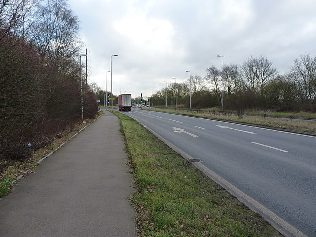
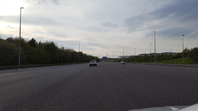
Although Churchbridge is predominantly residential, it benefits from its proximity to nearby towns and cities. The village is well-connected, with convenient access to major roads, including the A5 and M6 motorway, allowing residents to easily commute to nearby employment hubs such as Cannock, Stafford, and Wolverhampton.

While Churchbridge does not boast a wide range of amenities within the village itself, there are several local shops and services available to cater to the needs of its residents. Additionally, the nearby towns provide a more extensive range of amenities, including supermarkets, schools, healthcare facilities, and recreational activities.

Overall, Churchbridge offers a serene and idyllic place to reside, combining the tranquility of rural living with the convenience of nearby urban centers.

If you have any feedback on the listing, please let us know in the comments section below.
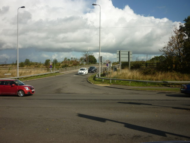
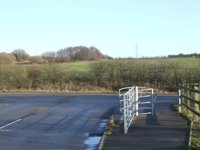
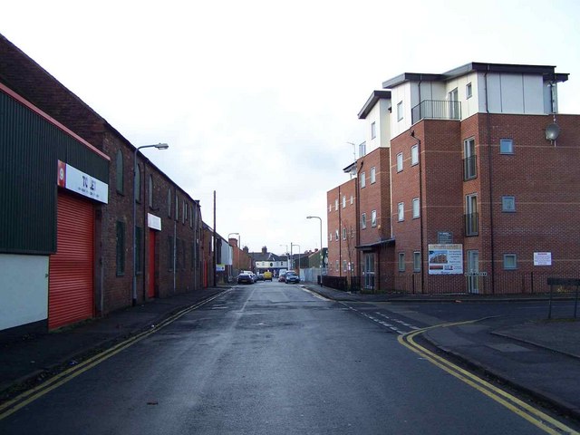
Churchbridge Images

Images are sourced within 2km of 52.66916/-2.0218872 or Grid Reference SJ9807. Thanks to Geograph Open Source API. All images are credited.

Approaching Norton Canes toll plaza on the M6 Toll The M6 Toll Road is a 27-mile private-sector expressway to the north of Birmingham. The M6 is the key artery through the West Midlands, but it suffers from chronic congestion as part of Britain’s longest and most important motorway. The Birmingham Northern Relief Road, as the M6 Toll was originally known, was built to siphon off the through traffic between the South-east and the North-West.

Site clearance started in 2000, construction of the road began in 2002 and it opened in December 2003 (<span class="nowrap"><a title="http://www.m6toll.co.uk/about-us/history/" rel="nofollow ugc noopener" href="http://www.m6toll.co.uk/about-us/history/">Link</a><img style="margin-left:2px;" alt="External link" title="External link - shift click to open in new window" src="https://s1.geograph.org.uk/img/external.png" width="10" height="10"/></span>  M6 Toll History). When planned, it was forecast that 72000 vehicles would use the link, but just half that number of motorists take the route today (2013 - <span class="nowrap"><a title="http://www.independent.co.uk/news/uk/home-news/overpriced-and-underused-m6-toll-road-is-going-nowhere-fast-8606755.html" rel="nofollow ugc noopener" href="http://www.independent.co.uk/news/uk/home-news/overpriced-and-underused-m6-toll-road-is-going-nowhere-fast-8606755.html">Link</a><img style="margin-left:2px;" alt="External link" title="External link - shift click to open in new window" src="https://s1.geograph.org.uk/img/external.png" width="10" height="10"/></span>  Overpriced and underused – The Independent) whilst in contrast, the M6 itself is still carrying in excess of 125,000 vehicles a day with many claiming that the toll route’s benefits do not warrant the charges (2013 rates: currently £5.50 for private cars and £11 for trucks, with modest discounts for weekend and overnight use - see <a href="https://www.geograph.org.uk/photo/3665133">SP2685 : M6 Toll Tariff, Chapel Green</a>) and that when traffic is flowing reasonably freely on the original M6, there is no incentive to use the toll route which is marginally longer than the free motorway, with time also lost for stopping to pay at the toll booth.

The toll motorway is operated by Midland Expressway Ltd, which has the concession until 2054 – when the road is due to be handed back to the government.
Approaching Norton Canes toll plaza on the M6 Toll
The M6 Toll Road is a 27-mile private-sector expressway to the north of Birmingham. The M6 is the key artery through the West Midlands, but it suffers from chronic congestion as part of Britain’s longest and most important motorway. The Birmingham Northern Relief Road, as the M6 Toll was originally known, was built to siphon off the through traffic between the South-east and the North-West. Site clearance started in 2000, construction of the road began in 2002 and it opened in December 2003 (LinkExternal link M6 Toll History). When planned, it was forecast that 72000 vehicles would use the link, but just half that number of motorists take the route today (2013 - LinkExternal link Overpriced and underused – The Independent) whilst in contrast, the M6 itself is still carrying in excess of 125,000 vehicles a day with many claiming that the toll route’s benefits do not warrant the charges (2013 rates: currently £5.50 for private cars and £11 for trucks, with modest discounts for weekend and overnight use - see SP2685 : M6 Toll Tariff, Chapel Green) and that when traffic is flowing reasonably freely on the original M6, there is no incentive to use the toll route which is marginally longer than the free motorway, with time also lost for stopping to pay at the toll booth. The toll motorway is operated by Midland Expressway Ltd, which has the concession until 2054 – when the road is due to be handed back to the government.
Norton Canes toll barrier, M6 Toll
Norton Canes toll station on the M6 North (Toll)
M6 Toll Road from the overbridge Looking towards the toll booths at the western end of the M6 (Toll Road)
M6 Toll Road from the overbridge
Looking towards the toll booths at the western end of the M6 (Toll Road)
The Cannock Toll plaza Seen here from the access road used by staff, and presumably on occasions by emergency services.
The Cannock Toll plaza
Seen here from the access road used by staff, and presumably on occasions by emergency services.
A5 Watling Street at the Washbrook Lane junction
The M6 Toll The M6 Toll immediately after leaving the Toll booths.
The M6 Toll
The M6 Toll immediately after leaving the Toll booths.
Feeder Road from A5 to the Orbital Centre How long before all this is under factories and offices.
Feeder Road from A5 to the Orbital Centre
How long before all this is under factories and offices.
Norton Canes: westbound toll plaza on the M6(Toll) It now costs £4:80 in the daytime for a car to cross from the SK myriad into SJ.
Norton Canes: westbound toll plaza on the M6(Toll)
It now costs £4:80 in the daytime for a car to cross from the SK myriad into SJ.
The night takes its toll. Looking towards the Ramada Birmingham North and the M6 toll booths.
The night takes its toll.
Looking towards the Ramada Birmingham North and the M6 toll booths.
Washbrook Lane from the A5
Tollbooths, M6 (Toll) The M6 Toll (or Birmingham North Relief Road), connects M6 Junction 4 at the NEC to M6 Junction 11A at Wolverhampton with 27 miles of six-lane motorway. The motorway was opened in 2002 and was Britain's first toll motorway.
Tollbooths, M6 (Toll)
The M6 Toll (or Birmingham North Relief Road), connects M6 Junction 4 at the NEC to M6 Junction 11A at Wolverhampton with 27 miles of six-lane motorway. The motorway was opened in 2002 and was Britain's first toll motorway.
Bridge over the M6 (Toll), Norton Canes The M6 Toll (or Birmingham North Relief Road), connects M6 Junction 4 at the NEC to M6 Junction 11A at Wolverhampton with 27 miles of six-lane motorway. The motorway was opened in 2002 and was Britain's first toll motorway.
Bridge over the M6 (Toll), Norton Canes
The M6 Toll (or Birmingham North Relief Road), connects M6 Junction 4 at the NEC to M6 Junction 11A at Wolverhampton with 27 miles of six-lane motorway. The motorway was opened in 2002 and was Britain's first toll motorway.
Road Junction on Hickling Road The gate is no longer required as this is now a public road leading to the Unilever plant and Orbital Retail Park.
Road Junction on Hickling Road
The gate is no longer required as this is now a public road leading to the Unilever plant and Orbital Retail Park.
Footpath to the landfill Not the most promising looking path. 3665's distribution centre is behind the security fence.
Footpath to the landfill
Not the most promising looking path. 3665's distribution centre is behind the security fence.
M6 Toll near Great Wyrley
A5 east by the M6T Toll booths The lights to the left are at the Toll booths
A5 east by the M6T Toll booths
The lights to the left are at the Toll booths
Show me another place!

Churchbridge is located at Grid Ref: SJ9807 (Lat: 52.66916, Lng: -2.0218872)

Administrative County: Staffordshire

District: South Staffordshire

Police Authority: Staffordshire

What 3 Words

///gave.gasp.sprint. Near Great Wyrley, Staffordshire

Nearby Locations

Littlewood Churchbridge

Related Wikis

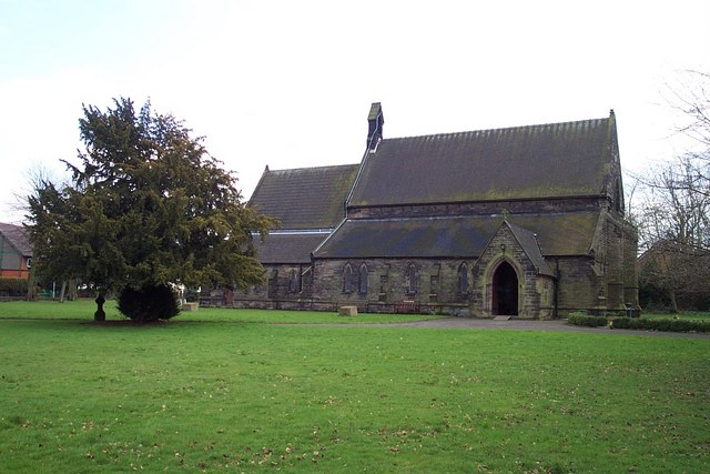
St Mark's Church, Great Wyrley

St Mark's is the parish church of Great Wyrley, South Staffordshire, England. It is known for having had the first South Asian vicar of any Church of England...

Wyrley and Cheslyn Hay railway station

Wyrley and Cheslyn Hay railway station served the villages of Great Wyrley and Cheslyn Hay in Staffordshire, England, between 1858 and 1965. == History... ==

Great Wyrley Academy

Great Wyrley Academy (formerly Great Wyrley High School) is a co-educational secondary school and sixth form located in Great Wyrley in the English county...

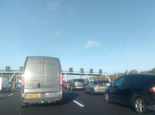
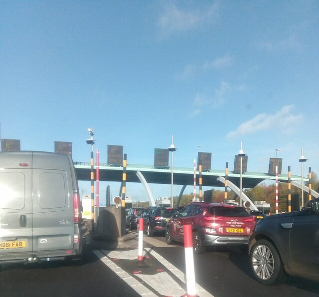
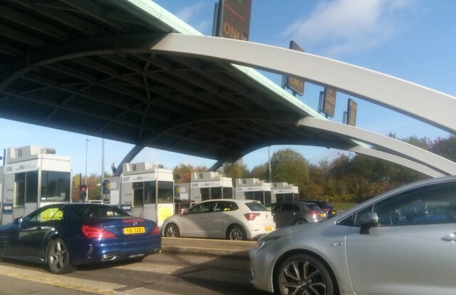
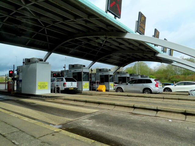
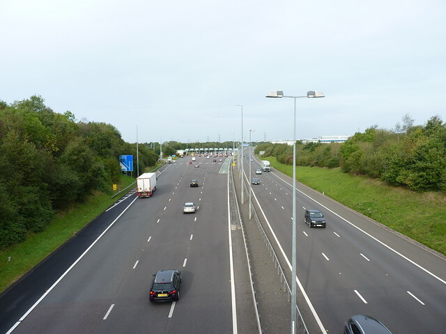
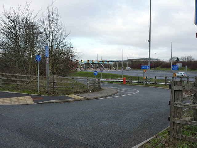
Churchbridge Junction

Churchbridge is a road junction situated between Churchbridge and Bridgtown in Staffordshire. It links the A5, A34, and A460 to the adjacent M6 Toll. The...

Bridgtown

Bridgtown is a village and civil parish, in the Cannock Chase District of Staffordshire, England. It is situated on the A5 between Cannock and Great Wyrley...

Rumer Hill Junction

Rumer Hill Junction (grid reference SJ991090) was a canal junction on the Cannock Extension Canal where the Churchbridge Branch left to join the Hatherton...

Wolverhampton Sporting C.F.C.

Wolverhampton Sporting Community Football Club is a football club originally formed in Wolverhampton, but currently based in Great Wyrley, the club competes...

Great Wyrley

Great Wyrley is a village and civil parish in the South Staffordshire district of Staffordshire, England. It forms a built up area with nearby Cheslyn...

Nearby Amenities

Located within 500m of 52.66916,-2.0218872
Traffic Signals
Traffic Signals: signal
Lat/Long: 52.6722587/-2.0189592
Bus Stop
Westbourne Avenue
Bus: yes
Naptan AtcoCode: 3800C613801
Naptan Bearing: SW
Naptan CommonName: Westbourne Avenue
Naptan Indicator: Adj
Naptan Landmark: Westbourne Ave
Naptan Street: Station St
Naptan Verified: no
Public Transport: platform
Source: naptan_import
Lat/Long: 52.6662533/-2.0264096
Quinton Avenue
Naptan AtcoCode: 3800C613901
Naptan Bearing: NE
Naptan BusStopType: CUS
Naptan CommonName: Quinton Avenue
Naptan Indicator: Opp
Naptan Landmark: Quinton Avenue
Naptan Street: Station Rd
Naptan Verified: no
Public Transport: platform
Source: naptan_import
Lat/Long: 52.6665373/-2.0201097
Bus Stop
Quinton Avenue
Bus: yes
Naptan AtcoCode: 3800C613902
Naptan Bearing: SW
Naptan CommonName: Quinton Avenue
Naptan Indicator: Adj
Naptan Landmark: Quinton Avenue
Naptan Street: Station Street
Naptan Verified: no
Public Transport: platform
Source: naptan_import
Lat/Long: 52.6664343/-2.0200661
Bus Stop
Darges Lane
Bus: yes
Naptan AtcoCode: 3800C614001
Naptan Bearing: E
Naptan CommonName: Darges Lane
Naptan Indicator: Adj
Naptan Landmark: Darges Lane
Naptan Street: Station Rd
Naptan Verified: no
Public Transport: platform
Source: naptan_import
Lat/Long: 52.6669649/-2.0187207
Darges Lane
Naptan AtcoCode: 3800C614002
Naptan Bearing: W
Naptan BusStopType: CUS
Naptan CommonName: Darges Lane
Naptan Indicator: Opp
Naptan Landmark: Darges Lane
Naptan Street: Station Road
Naptan Verified: no
Public Transport: platform
Source: naptan_import
Lat/Long: 52.666813/-2.0177161
Bus Stop
Station Road
Bench: no
Bus: yes
Naptan AtcoCode: 3800C616101
Naptan Bearing: NW
Naptan CommonName: Station Road
Naptan Indicator: Adj
Naptan Landmark: Station Rd
Naptan Street: Walsall Rd
Naptan Verified: no
Public Transport: platform
Shelter: no
Source: naptan_import
Lat/Long: 52.6670551/-2.0168871
Bus Stop
Leacroft Lane
Bench: no
Bus: yes
Naptan AtcoCode: 3800C616201
Naptan Bearing: SE
Naptan CommonName: Leacroft Lane
Naptan Indicator: Adj
Naptan Landmark: Leacroft Lane
Naptan Street: Walsall Road
Naptan Verified: no
Public Transport: platform
Shelter: no
Source: naptan_import
Tactile Paving: yes
Lat/Long: 52.6697623/-2.0194979
Bus Stop
Leacroft Lane
Bench: no
Bus: yes
Naptan AtcoCode: 3800C616202
Naptan Bearing: NW
Naptan CommonName: Leacroft Lane
Naptan Indicator: Opp
Naptan Landmark: Leacroft Lane
Naptan Street: Walsall Rd
Naptan Verified: no
Public Transport: platform
Shelter: no
Source: naptan_import
Lat/Long: 52.6689157/-2.0193722
Barrier: yes
Lat/Long: 52.6715302/-2.0196064
Mini Roundabout
Direction: clockwise
Lat/Long: 52.6656107/-2.0211459
Mini Roundabout
Lat/Long: 52.6662571/-2.0205891
Traffic Calming: hump
Lat/Long: 52.6664593/-2.0201575
Note: End of no stopping sign NW-bound, national speed limit and no stopping sign SE-bound
Lat/Long: 52.6707746/-2.0163166
Note: 30 mph speed limit sign eastbound
Lat/Long: 52.6717184/-2.027149
Note: End of no stopping sign
Lat/Long: 52.6722378/-2.0238571
Power: tower
Source: Bing
Lat/Long: 52.6724705/-2.0253576
Power: tower
Lat/Long: 52.671881/-2.0162821
Traffic Signals
Traffic Signals: signal
Lat/Long: 52.6727398/-2.0227222
Crossing
Button Operated: yes
Crossing: traffic_signals
Crossing Markings: dots
Tactile Paving: yes
Lat/Long: 52.6728646/-2.0199095
Wyrley and Cheslyn Hay
Abandoned Railway: station
Railway: site
Lat/Long: 52.666809/-2.0243564
Parking
Access: yes
Fee: no
Parking: layby
Lat/Long: 52.6704754/-2.015277
Fixme: is this the vicarage?
Lat/Long: 52.6662719/-2.023396
Power: tower
Lat/Long: 52.6716197/-2.0228179
Power: tower
Lat/Long: 52.6719668/-2.0203228
Traffic Calming: hump
Lat/Long: 52.6650216/-2.0207893
Man Made: water_tower
Lat/Long: 52.6653074/-2.019427
Car Rental
Enterprise
Addr City: Cannock
Addr Postcode: WS11 0GB
Addr Street: Watling Street
Brand: Enterprise
Brand Wikidata: Q17085454
Brand Wikipedia: en:Enterprise Rent-A-Car
Official Name: Enterprise Rent-A-Car
Lat/Long: 52.6731058/-2.0251145
Atm
Lat/Long: 52.6670433/-2.0161059
Speed Camera
Direction: 150
Lat/Long: 52.6681388/-2.0183537
Generator Method: photovoltaic
Generator Output Electricity: yes
Generator Source: solar
Generator Type: solar_photovoltaic_panel
Location: roof
Power: generator
Lat/Long: 52.6657361/-2.0253199
Generator Method: photovoltaic
Generator Output Electricity: yes
Generator Source: solar
Generator Type: solar_photovoltaic_panel
Location: roof
Power: generator
Lat/Long: 52.6668235/-2.0276119
Generator Method: photovoltaic
Generator Output Electricity: yes
Generator Source: solar
Generator Type: solar_photovoltaic_panel
Location: roof
Power: generator
Lat/Long: 52.6668414/-2.0277259
Generator Method: photovoltaic
Generator Output Electricity: yes
Generator Source: solar
Generator Type: solar_photovoltaic_panel
Location: roof
Power: generator
Lat/Long: 52.6680825/-2.0284568
Generator Method: photovoltaic
Generator Output Electricity: yes
Generator Source: solar
Generator Type: solar_photovoltaic_panel
Location: roof
Power: generator
Lat/Long: 52.6684094/-2.0252073
Generator Method: photovoltaic
Generator Output Electricity: yes
Generator Source: solar
Generator Type: solar_photovoltaic_panel
Location: roof
Power: generator
Lat/Long: 52.6686086/-2.0255855
Generator Method: photovoltaic
Generator Output Electricity: yes
Generator Source: solar
Generator Type: solar_photovoltaic_panel
Location: roof
Power: generator
Lat/Long: 52.6702807/-2.0261085
Generator Method: photovoltaic
Generator Output Electricity: yes
Generator Source: solar
Generator Type: solar_photovoltaic_panel
Location: roof
Power: generator
Lat/Long: 52.6703043/-2.0262091
Generator Method: photovoltaic
Generator Output Electricity: yes
Generator Source: solar
Generator Type: solar_photovoltaic_panel
Location: roof
Power: generator
Lat/Long: 52.6691657/-2.0263056
Generator Method: photovoltaic
Generator Output Electricity: yes
Generator Source: solar
Generator Type: solar_photovoltaic_panel
Location: roof
Power: generator
Lat/Long: 52.6690381/-2.0262346
Generator Method: photovoltaic
Generator Output Electricity: yes
Generator Source: solar
Generator Type: solar_photovoltaic_panel
Location: roof
Power: generator
Lat/Long: 52.6681589/-2.0205295
Generator Method: photovoltaic
Generator Output Electricity: yes
Generator Source: solar
Generator Type: solar_photovoltaic_panel
Location: roof
Power: generator
Lat/Long: 52.6665827/-2.017571
Generator Method: photovoltaic
Generator Output Electricity: yes
Generator Source: solar
Generator Type: solar_photovoltaic_panel
Location: roof
Power: generator
Lat/Long: 52.6682808/-2.0163518
Generator Method: photovoltaic
Generator Output Electricity: yes
Generator Source: solar
Generator Type: solar_photovoltaic_panel
Location: roof
Power: generator
Lat/Long: 52.6707142/-2.0233941
Generator Method: photovoltaic
Generator Output Electricity: yes
Generator Source: solar
Generator Type: solar_photovoltaic_panel
Location: roof
Power: generator
Lat/Long: 52.6707207/-2.023496
Generator Method: photovoltaic
Generator Output Electricity: yes
Generator Source: solar
Generator Type: solar_photovoltaic_panel
Location: roof
Power: generator
Lat/Long: 52.666817/-2.0208782
Crossing
Crossing: traffic_signals
Lat/Long: 52.6670812/-2.0241373
Traffic Calming: cushion
Lat/Long: 52.6674544/-2.0189407
Traffic Calming: hump
Lat/Long: 52.6664272/-2.0171791
Traffic Calming: hump
Lat/Long: 52.6667641/-2.0168581
Traffic Calming: hump
Lat/Long: 52.6663959/-2.0214595
Traffic Signals
Traffic Signals: signal
Lat/Long: 52.6721661/-2.0190504
Crossing
Button Operated: yes
Crossing: traffic_signals
Crossing Markings: dots
Tactile Paving: yes
Lat/Long: 52.6730296/-2.0199978
Traffic Signals
Traffic Signals: signal
Lat/Long: 52.6730182/-2.0198265
Traffic Signals
Traffic Signals: signal
Lat/Long: 52.6717117/-2.0186485
Traffic Signals
Traffic Signals: signal
Lat/Long: 52.6716093/-2.0185333
Crossing
Crossing: traffic_signals
Lat/Long: 52.6666756/-2.0160768
Traffic Calming: hump
Lat/Long: 52.6669401/-2.0188438
Traffic Calming: hump
Lat/Long: 52.6658584/-2.0208537
Traffic Calming: hump
Lat/Long: 52.6681178/-2.0188228
Traffic Calming: hump
Lat/Long: 52.6669807/-2.0232963
Traffic Calming: hump
Lat/Long: 52.6654885/-2.021103
Traffic Signals
Traffic Signals: crossing
Lat/Long: 52.6728583/-2.0198355
Traffic Signals
Traffic Signals: signal
Lat/Long: 52.6730027/-2.0200514
Crossing
Crossing: uncontrolled
Lat/Long: 52.6736397/-2.0213493
Crossing
Crossing: unmarked
Crossing Markings: no
Lat/Long: 52.6733821/-2.0198042
Crossing
Crossing: unmarked
Crossing Markings: no
Lat/Long: 52.6732531/-2.0199679
Crossing
Crossing: unmarked
Crossing Markings: no
Lat/Long: 52.6717715/-2.018388
Crossing
Crossing: unmarked
Crossing Markings: no
Lat/Long: 52.6716172/-2.0185857
Crossing
Crossing: unmarked
Crossing Markings: no
Lat/Long: 52.6716527/-2.0200797
Crossing
Lat/Long: 52.6720315/-2.0184025
Crossing
Lat/Long: 52.6731908/-2.0189
Generator Method: photovoltaic
Generator Output Electricity: yes
Generator Source: solar
Generator Type: solar_photovoltaic_panel
Location: roof
Power: generator
Lat/Long: 52.6687546/-2.0167087
Generator Method: photovoltaic
Generator Output Electricity: yes
Generator Source: solar
Generator Type: solar_photovoltaic_panel
Location: roof
Power: generator
Lat/Long: 52.6689807/-2.0171618
Generator Method: photovoltaic
Generator Output Electricity: yes
Generator Source: solar
Generator Type: solar_photovoltaic_panel
Location: roof
Power: generator
Lat/Long: 52.6690164/-2.0172235
Traffic Signals
Traffic Signals: signal
Lat/Long: 52.6724873/-2.0234644
Traffic Signals
Traffic Signals: signal
Lat/Long: 52.6723686/-2.0236699
Traffic Signals
Traffic Signals: signal
Lat/Long: 52.6726675/-2.0225654
Bus Stop
Littlewood Road
Bus: yes
Public Transport: platform
Lat/Long: 52.668352/-2.027576
The data included in this document is from www.openstreetmap.org. The data is made available under ODbL.

Have you been to Churchbridge?

Leave your review of Churchbridge below (or comments, questions and feedback).