Littlewood
Settlement in Staffordshire South Staffordshire
England
Littlewood
Littlewood is a village located in the county of Staffordshire, England. It lies approximately 5 miles east of the town of Burton upon Trent and 12 miles southwest of the city of Derby. The village is nestled in the picturesque countryside, surrounded by rolling hills and lush green fields.
With a population of around 500 residents, Littlewood is a close-knit community known for its friendly atmosphere and strong community spirit. The village retains its rural charm, with traditional stone houses and quaint cottages lining its quiet streets. The local church, St. Mary's, is a focal point of the village and dates back to the 12th century, adding to the historical character of the area.
Despite its small size, Littlewood offers a range of amenities for its residents. The village has a primary school, providing education for children up to the age of 11, and a community center that hosts various events and gatherings throughout the year. There is also a local pub, The Red Lion, which serves as a popular meeting spot for locals and visitors alike.
Surrounded by beautiful countryside, Littlewood offers plenty of opportunities for outdoor activities. The nearby National Forest provides extensive woodland walks, cycling paths, and nature trails, allowing residents to enjoy the natural beauty of the area. Additionally, the village benefits from its close proximity to larger towns and cities, with easy access to amenities, shopping centers, and transport links.
In summary, Littlewood is a charming village in Staffordshire, offering a tranquil and idyllic setting for its residents. With a strong sense of community and a range of amenities, it provides a desirable place to live for those seeking a peaceful countryside lifestyle.
If you have any feedback on the listing, please let us know in the comments section below.
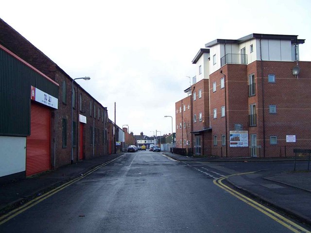
Littlewood Images
Images are sourced within 2km of 52.668782/-2.029543 or Grid Reference SJ9807. Thanks to Geograph Open Source API. All images are credited.


Littlewood is located at Grid Ref: SJ9807 (Lat: 52.668782, Lng: -2.029543)
Administrative County: Staffordshire
District: South Staffordshire
Police Authority: Staffordshire
What 3 Words
///feels.bands.shells. Near Great Wyrley, Staffordshire
Nearby Locations
Related Wikis

Wyrley and Cheslyn Hay railway station
Wyrley and Cheslyn Hay railway station served the villages of Great Wyrley and Cheslyn Hay in Staffordshire, England, between 1858 and 1965. == History... ==
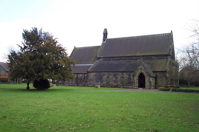
St Mark's Church, Great Wyrley
St Mark's is the parish church of Great Wyrley, South Staffordshire, England. It is known for having had the first South Asian vicar of any Church of England...

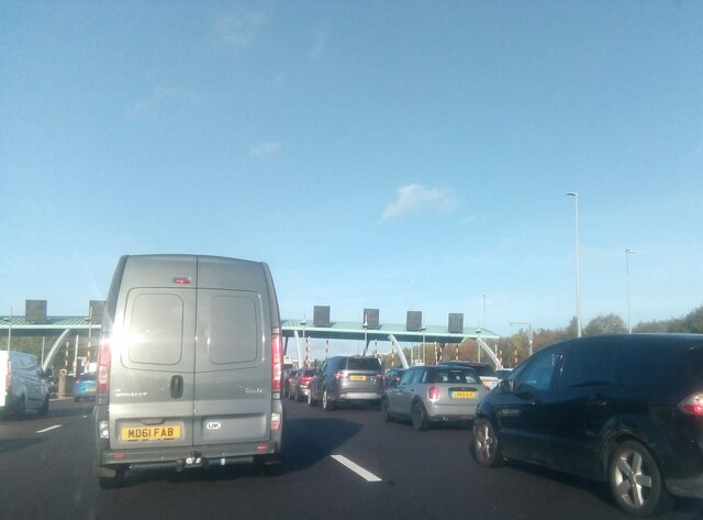
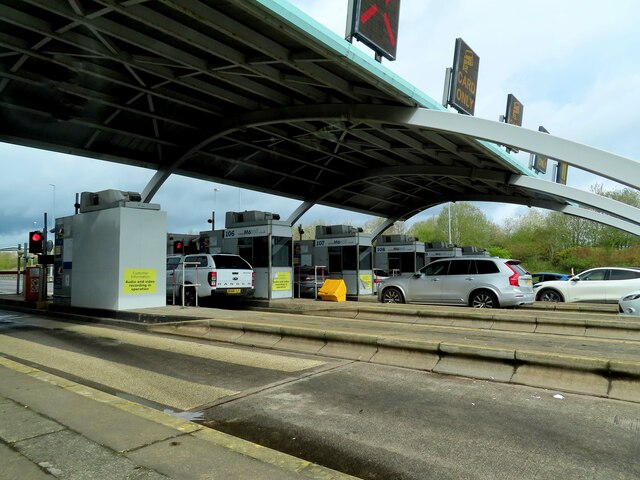
Churchbridge Junction
Churchbridge is a road junction situated between Churchbridge and Bridgtown in Staffordshire. It links the A5, A34, and A460 to the adjacent M6 Toll. The...
Great Wyrley Academy
Great Wyrley Academy (formerly Great Wyrley High School) is a co-educational secondary school and sixth form located in Great Wyrley in the English county...
Bridgtown
Bridgtown is a village and civil parish, in the Cannock Chase District of Staffordshire, England. It is situated on the A5 between Cannock and Great Wyrley...

Cheslyn Hay
Cheslyn Hay is a former mining village and civil parish in the South Staffordshire district of Staffordshire, England. It is 3 miles south of Cannock,...
Cheslyn Hay Academy
Cheslyn Hay Academy (formerly Cheslyn Hay Sport and Community High School) is a mixed secondary school and sixth form located in Cheslyn Hay in the English...
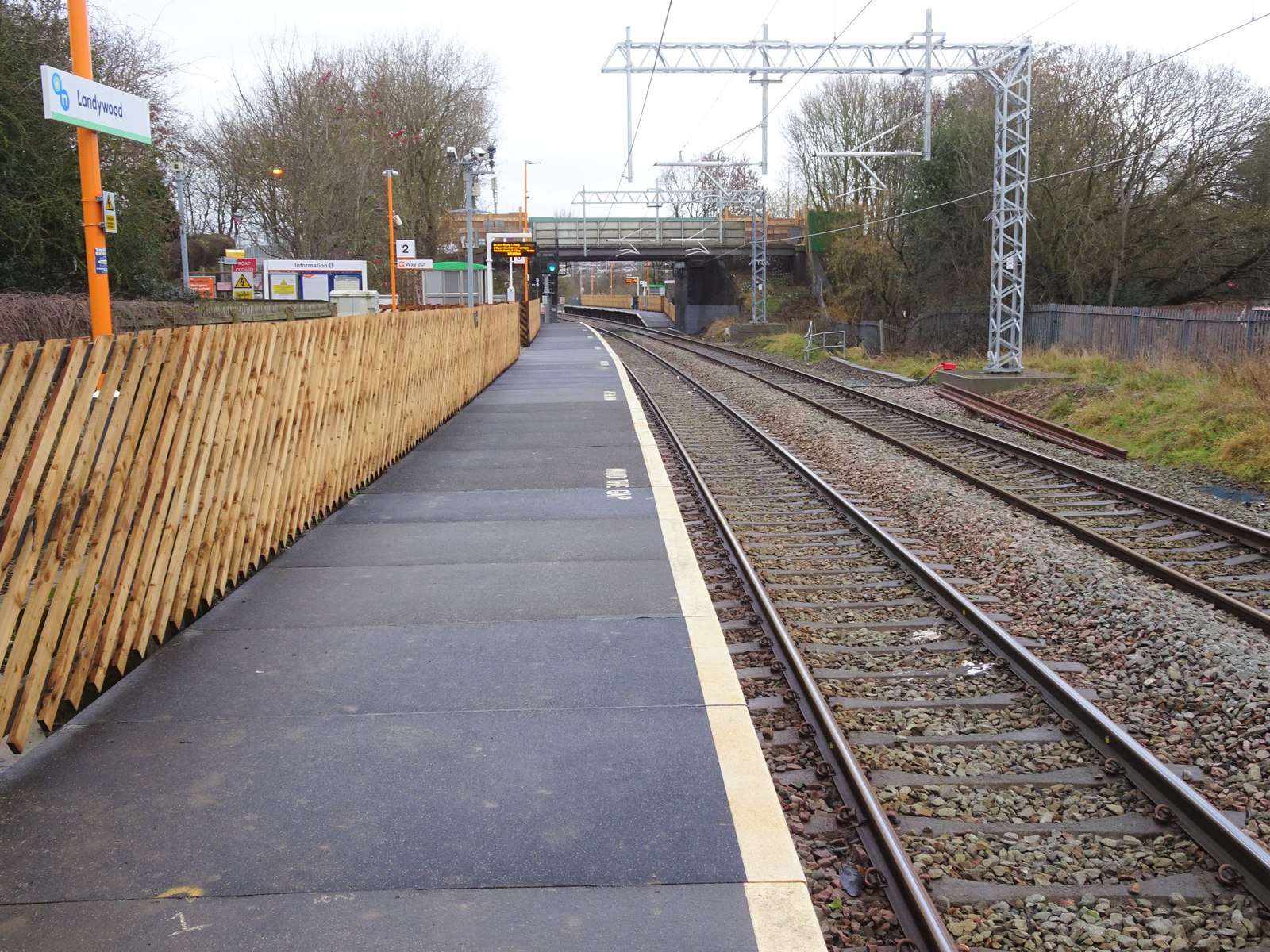
Landywood railway station
Landywood railway station is situated in the village of Landywood in Staffordshire, England. As well as Landywood, the station also serves the adjacent...
Nearby Amenities
Located within 500m of 52.668782,-2.029543Have you been to Littlewood?
Leave your review of Littlewood below (or comments, questions and feedback).