Stancombe Wood

Wood, Forest in Devon South Hams

England

Stancombe Wood

Luscombe Cross - near Totnes A Victorian cross stands at this lonely crossroads.
Luscombe Cross - near Totnes Credit: Richard Knights

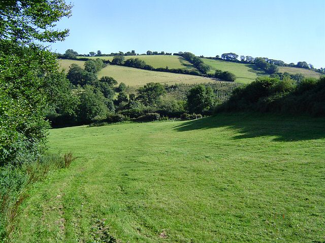
Stancombe Wood is a picturesque woodland located in the county of Devon, England. Situated near the village of Stancombe, the wood covers an area of approximately 200 acres and is renowned for its natural beauty and diverse array of wildlife.

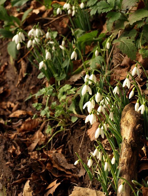
The wood is primarily composed of native deciduous trees, including oak, beech, and ash, which create a stunning canopy during the summer months. The forest floor is adorned with an array of wildflowers, such as bluebells and primroses, adding a vibrant touch to the scenery.

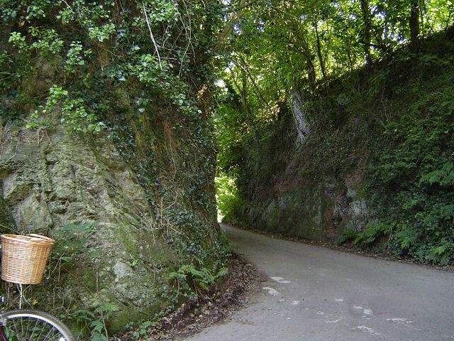
Stancombe Wood offers a tranquil retreat for nature lovers and outdoor enthusiasts alike. Numerous walking trails meander through the wood, providing opportunities for visitors to explore its hidden nooks and crannies. The paths are well-maintained and suitable for all abilities, making it an ideal destination for families and nature enthusiasts.

The wood is also home to a rich variety of wildlife. Birdwatchers can spot a range of species, including woodpeckers, owls, and various songbirds. Small mammals, such as deer and squirrels, can often be seen darting between the trees, adding to the enchanting atmosphere of the wood.

Additionally, Stancombe Wood is known for its conservation efforts. The wood is carefully managed to preserve its natural habitat, and visitors are encouraged to respect the environment and wildlife during their visit.

In conclusion, Stancombe Wood is a captivating woodland in Devon, boasting stunning scenery, diverse wildlife, and well-maintained trails for visitors to enjoy. Its tranquil atmosphere and commitment to conservation make it a must-visit destination for nature enthusiasts.

If you have any feedback on the listing, please let us know in the comments section below.

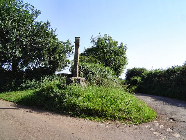
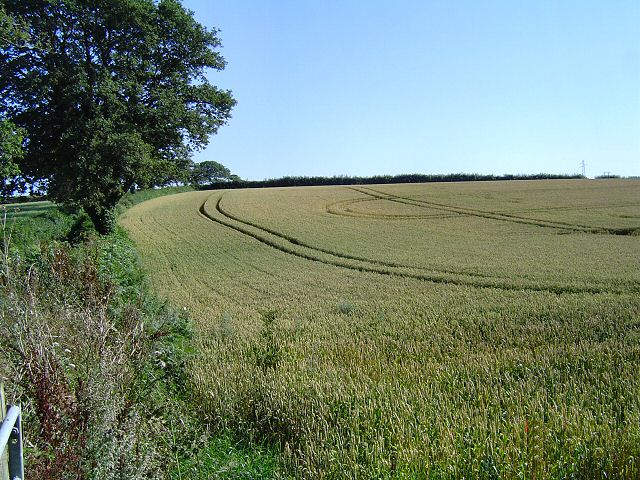
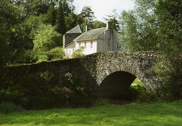
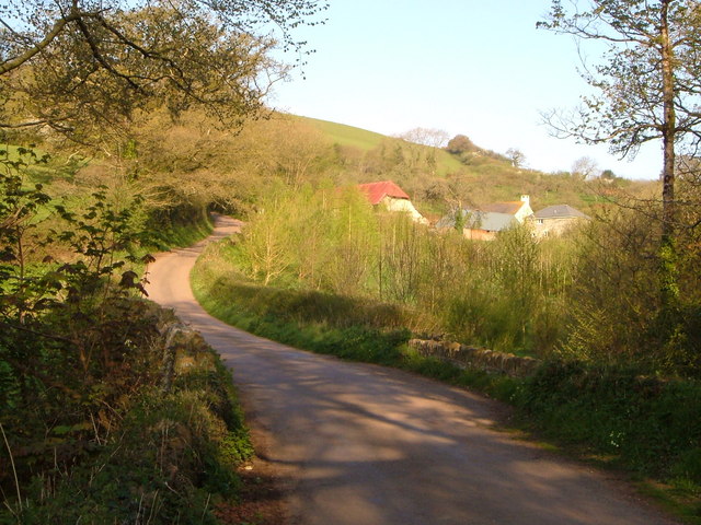
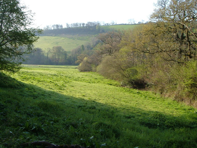
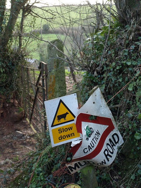
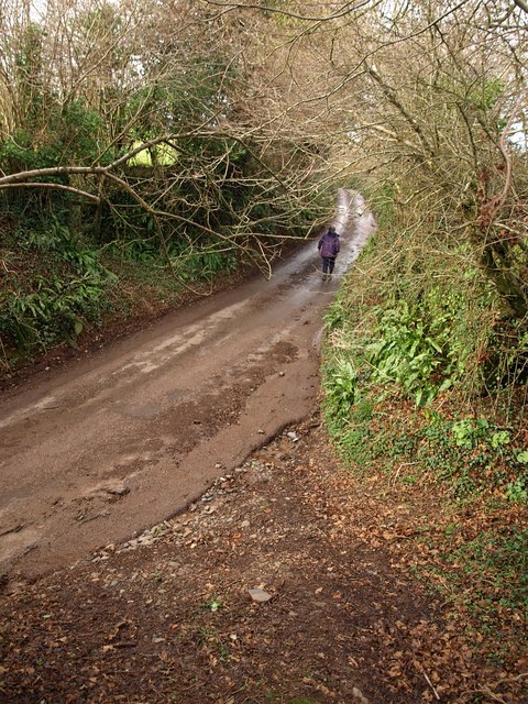
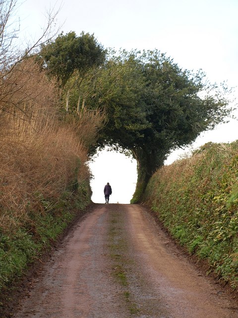
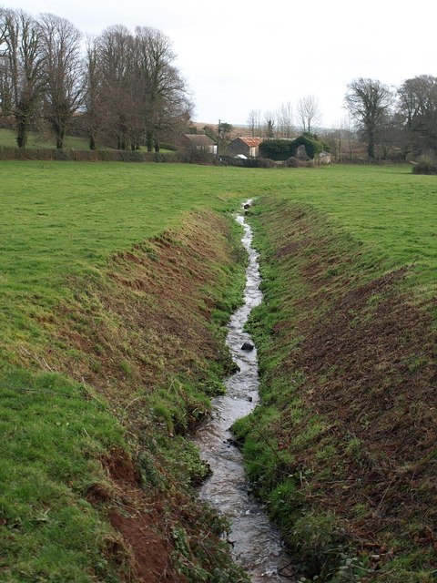
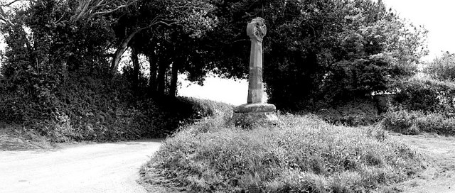
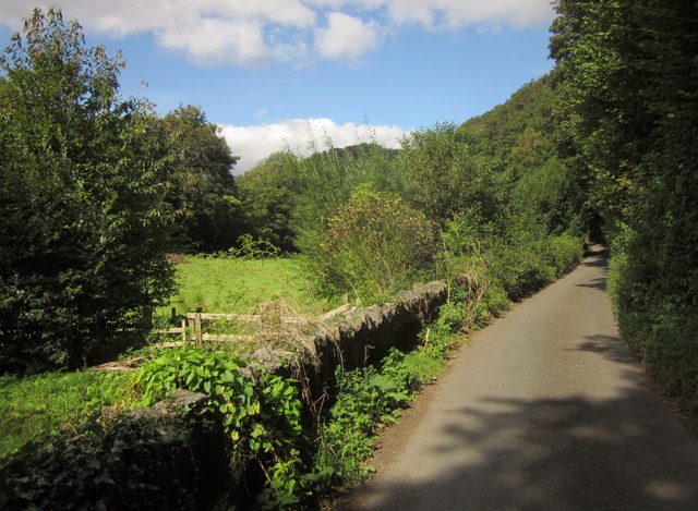
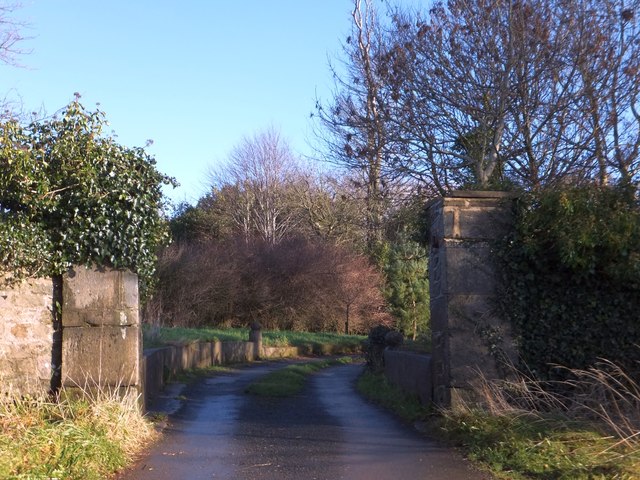
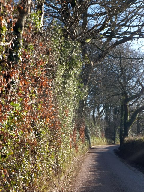
Stancombe Wood Images

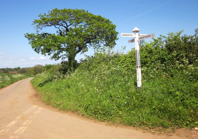
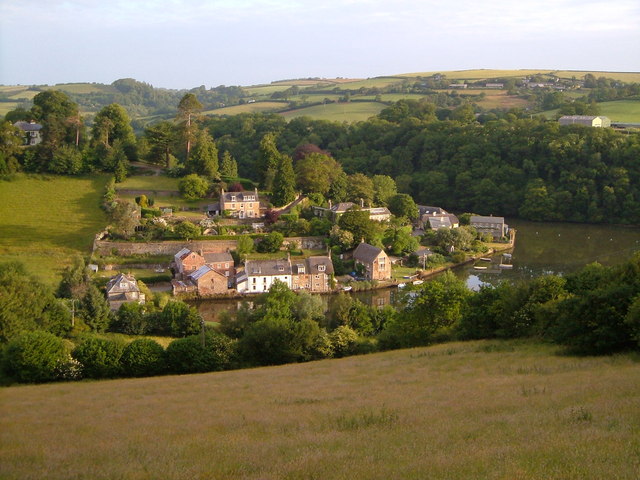
Images are sourced within 2km of 50.403224/-3.6806364 or Grid Reference SX8057. Thanks to Geograph Open Source API. All images are credited.

Luscombe Cross - near Totnes A Victorian cross stands at this lonely crossroads.
Luscombe Cross - near Totnes
A Victorian cross stands at this lonely crossroads.
South Hams cereal Field near Stancombe. This is prime farming land.
South Hams cereal
Field near Stancombe. This is prime farming land.
Field near Beenleigh - Harbertonford This area abounds in green fields and wooded valleys.
Field near Beenleigh - Harbertonford
This area abounds in green fields and wooded valleys.
Luscombe lane An example of a steep, wooded South Hams lane.
Luscombe lane
An example of a steep, wooded South Hams lane.
Harberton: Beenleigh Manor and mill The mill building is furthest from the camera and once had an external overshot waterwheel powered by a leat from the river Harbourne. A turbine was also used
Harberton: Beenleigh Manor and mill
The mill building is furthest from the camera and once had an external overshot waterwheel powered by a leat from the river Harbourne. A turbine was also used
Prowse's Luscombe View up the lane from the bridge over a tributary of the Harbourne towards Painsford Cross.
Prowse's Luscombe
View up the lane from the bridge over a tributary of the Harbourne towards Painsford Cross.
Field near Painsford Looking SSE across the Harbourne valley from the Painsford-Luscombe lane.
Field near Painsford
Looking SSE across the Harbourne valley from the Painsford-Luscombe lane.
Snowdrops near Painsford Cross By the lane west of Painsford, near the little stream entering the Harbourne from Luscombe.
Snowdrops near Painsford Cross
By the lane west of Painsford, near the little stream entering the Harbourne from Luscombe.
Oops The mangled state of the sign perhaps gives a more powerful message than the words on it. I blame those speeding cows.
Oops
The mangled state of the sign perhaps gives a more powerful message than the words on it. I blame those speeding cows.
Lane to Luscombe Cross A long and rather tedious climb from Luscombe to <a href="https://www.geograph.org.uk/photo/35765">SX7957 : Luscombe Cross - near Totnes</a>.
Lane to Luscombe Cross
A long and rather tedious climb from Luscombe to SX7957 : Luscombe Cross - near Totnes.
Approaching Luscombe Cross The lane from Luscombe reaches the junction just after passing through this entrance arch of foliage.
Approaching Luscombe Cross
The lane from Luscombe reaches the junction just after passing through this entrance arch of foliage.
Luscombe Cross See also <a href="https://www.geograph.org.uk/photo/35765">SX7957 : Luscombe Cross - near Totnes</a>. Although the top was renewed in 1895, the base is "probably C15 or C16". <span class="nowrap"><a title="http://www.imagesofengland.org.uk/Details/Default.aspx?id=101279&mode=adv" rel="nofollow ugc noopener" href="http://www.imagesofengland.org.uk/Details/Default.aspx?id=101279&mode=adv">Link</a><img style="margin-left:2px;" alt="External link" title="External link - shift click to open in new window" src="https://s1.geograph.org.uk/img/external.png" width="10" height="10"/></span>
Luscombe Cross
See also SX7957 : Luscombe Cross - near Totnes. Although the top was renewed in 1895, the base is "probably C15 or C16". LinkExternal link
Stream near Lower Bowden The Stancombe stream runs in a channel straight for the buildings at Lower Bowden before veering off to the right. Seen from the lane between <a href="https://www.geograph.org.uk/photo/1134997">SX7957 : Luscombe Cross</a> and Bowden Pillars.
Stream near Lower Bowden
The Stancombe stream runs in a channel straight for the buildings at Lower Bowden before veering off to the right. Seen from the lane between SX7957 : Luscombe Cross and Bowden Pillars.
Luscombe Cross, near Totnes Impressive cross on a quiet back road.
Luscombe Cross, near Totnes
Impressive cross on a quiet back road.
Bow Road The lane runs along the northern side of the floor of the Harbourne River valley. On the right, Whiteway's Copse, succeeded by Meadow Copse, climb the steep valley side. The river flows past the trees on the left across the meadow. Taken just north of Crowdy Mill.
Bow Road
The lane runs along the northern side of the floor of the Harbourne River valley. On the right, Whiteway's Copse, succeeded by Meadow Copse, climb the steep valley side. The river flows past the trees on the left across the meadow. Taken just north of Crowdy Mill.
Gateway pillars of Bowden House Until recently these pillars were each topped with a small cone
Gateway pillars of Bowden House
Until recently these pillars were each topped with a small cone
Road beside woods that screen Bowden House This road borders the front approach to Bowden House; the entrance drive runs through the woodland on the left.
Road beside woods that screen Bowden House
This road borders the front approach to Bowden House; the entrance drive runs through the woodland on the left.
Luscombe Cross The tree and signpost can also be seen in <a href="https://www.geograph.org.uk/photo/1134997">SX7957 : Luscombe Cross</a>.
Luscombe Cross
The tree and signpost can also be seen in SX7957 : Luscombe Cross.
Show me another place!

Stancombe Wood is located at Grid Ref: SX8057 (Lat: 50.403224, Lng: -3.6806364)

Administrative County: Devon

District: South Hams

Police Authority: Devon and Cornwall

What 3 Words

///edgy.conclude.pats. Near Totnes, Devon

Nearby Locations

Stancombe Wood

Related Wikis

Ashprington

Ashprington is a village and civil parish in the South Hams district of Devon, England. The village is not far from the River Dart, but high above it...

Tuckenhay

Tuckenhay is a hamlet in the South Hams in Devon, England, 2.5 miles (4.0 km) south of Totnes. It lies on the south bank of Bow Creek, the estuary of...

Bowden, Ashprington

Bowden is an historic estate in Ashprington parish near Totnes in Devon, England. The present structure, known as "Bowden House", is a grade I listed building...

Sharpham, Ashprington

Sharpham is an historic estate in the parish of Ashprington, Devon. The Georgian mansion house, known as Sharpham House, overlooks the River Dart and is...

Nearby Amenities

Located within 500m of 50.403224,-3.6806364
Ashprington Cross
Place: locality
Lat/Long: 50.40506/-3.6754867
Note: steep and narrow
Lat/Long: 50.4038909/-3.6746302
The data included in this document is from www.openstreetmap.org. The data is made available under ODbL.

Have you been to Stancombe Wood?

Leave your review of Stancombe Wood below (or comments, questions and feedback).