Washford Wood
Wood, Forest in Devon Mid Devon
England
Washford Wood

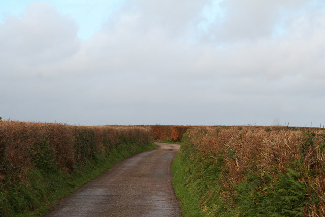
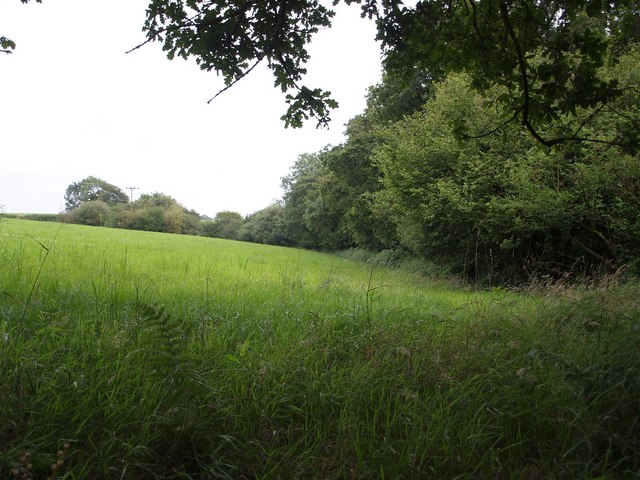
Washford Wood is a picturesque woodland located in the county of Devon, England. Situated near the village of Washford, the wood covers an area of approximately 200 acres and is a popular destination for nature enthusiasts and hikers alike.
The wood is predominantly made up of deciduous trees, including oak, beech, and ash, which create a diverse and vibrant landscape throughout the year. The forest floor is adorned with a rich carpet of mosses, ferns, and wildflowers, providing a haven for a wide range of plant and animal species.
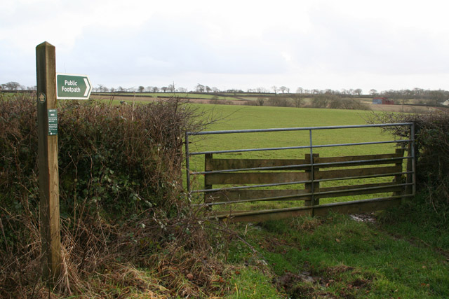
Visitors to Washford Wood can enjoy a network of well-maintained walking trails that wind their way through the woodland, offering stunning views and opportunities to spot native wildlife. Birdwatchers will be delighted by the presence of various bird species, including woodpeckers, owls, and songbirds.
The wood is also home to a number of mammals, such as deer, foxes, and badgers, which can sometimes be spotted if one is lucky. There are several designated picnic areas and benches scattered throughout the wood, allowing visitors to relax and take in the tranquility of the surroundings.
Washford Wood is managed by local authorities, who aim to preserve its natural beauty and protect the diverse wildlife that calls it home. The wood is open to the public year-round and is a popular destination for both locals and tourists seeking a peaceful escape into nature.
If you have any feedback on the listing, please let us know in the comments section below.
Washford Wood Images
Images are sourced within 2km of 50.890987/-3.6981491 or Grid Reference SS8011. Thanks to Geograph Open Source API. All images are credited.


Washford Wood is located at Grid Ref: SS8011 (Lat: 50.890987, Lng: -3.6981491)
Administrative County: Devon
District: Mid Devon
Police Authority: Devon and Cornwall
What 3 Words
///reclusive.sailor.freed. Near Witheridge, Devon
Nearby Locations
Related Wikis

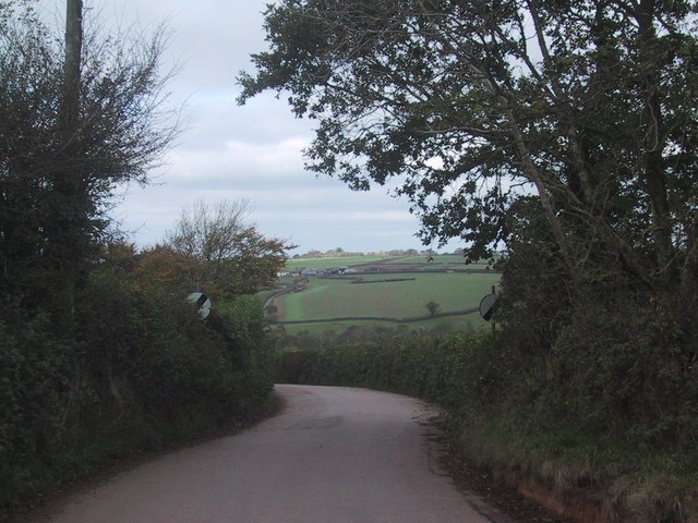
Washford Pyne
Washford Pyne is a village and civil parish in Devon, England. It is 7 miles NE of Morchard Road railway station and 8 N by W of Crediton.The local church...
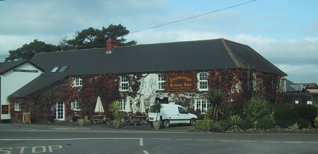
Thelbridge
Thelbridge is a village and civil parish in the Mid Devon district, in the county of Devon, England. It is 5 miles NE of Morchard Road railway station...

Black Dog, Devon
Black Dog is a village in Mid Devon, ten miles west of Tiverton and six miles north of Crediton. The village is on one of the highest ridges of land between...

Witheridge F.C.
Witheridge Football Club is a football club based in the Devon village of Witheridge. They are currently members of the Devon & Exeter League Division...
Nearby Amenities
Located within 500m of 50.890987,-3.6981491Have you been to Washford Wood?
Leave your review of Washford Wood below (or comments, questions and feedback).