Western Brake

Wood, Forest in Devon Mid Devon

England

Western Brake

The A30 west at Woodleigh Junction
The A30 west at Woodleigh Junction Credit: Roy Hughes

Western Brake is a serene woodland located in Devon, England. Nestled within the heart of the picturesque countryside, it is a haven for nature enthusiasts and offers a tranquil escape from the bustling city life.

Covering an area of approximately 50 acres, Western Brake is predominantly composed of dense woodlands, with a diverse range of tree species such as oak, beech, and ash. The ancient trees create a captivating canopy that filters sunlight, casting enchanting shadows on the forest floor.

The forest floor is adorned with a rich tapestry of wildflowers, ferns, and mosses, which thrive in the damp and shady environment. These flora provide a lush habitat for a variety of fauna, including woodland birds, small mammals like squirrels and rabbits, and occasional sightings of deer.

Western Brake offers a network of well-maintained trails, allowing visitors to explore the woods at their own pace. The trails meander through the forest, revealing hidden clearings and babbling brooks that add to the area's natural charm. Nature enthusiasts can indulge in birdwatching, photography, or simply enjoy a peaceful walk amidst the soothing sounds of nature.

The woodland is also a popular spot for camping and picnicking. There are designated camping areas equipped with basic amenities, providing an opportunity for visitors to immerse themselves in the beauty of the natural surroundings and enjoy a night under the starry sky.

Overall, Western Brake, Devon, is a captivating woodland that offers a true escape into nature. With its lush vegetation, diverse wildlife, and peaceful atmosphere, it provides a perfect retreat for those seeking solace in the beauty of the natural world.

If you have any feedback on the listing, please let us know in the comments section below.

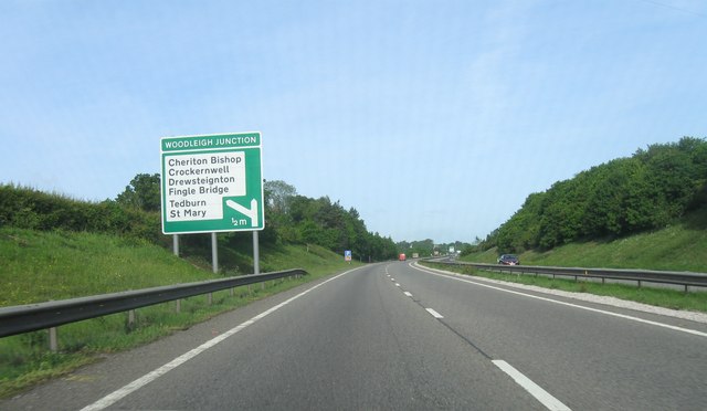
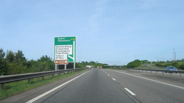
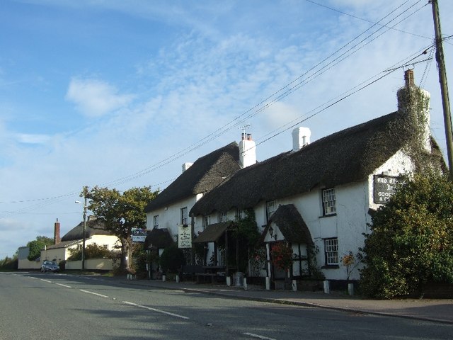
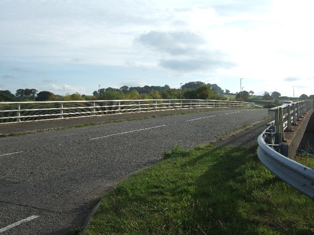
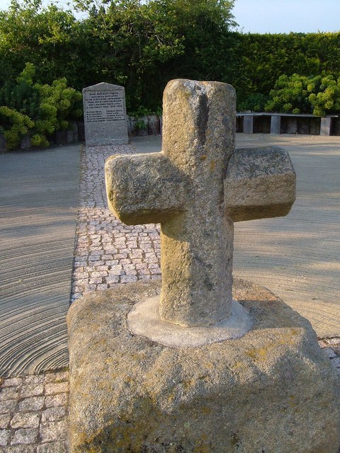
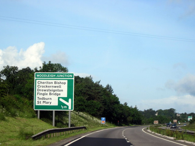
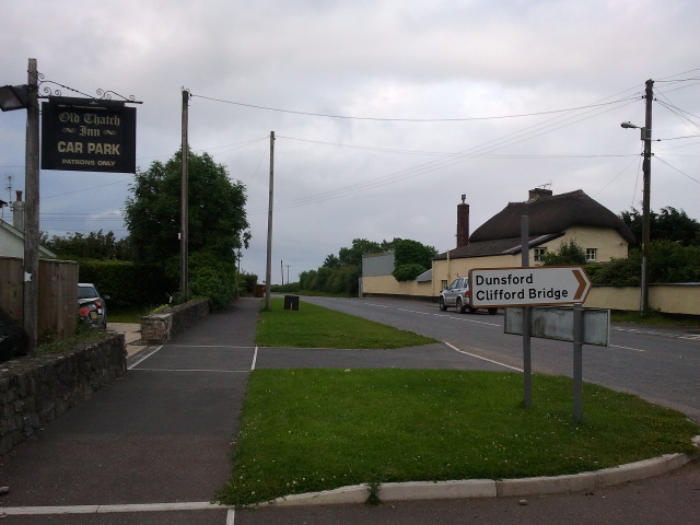
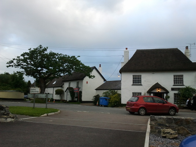
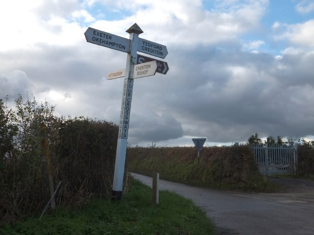
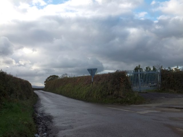
Western Brake Images

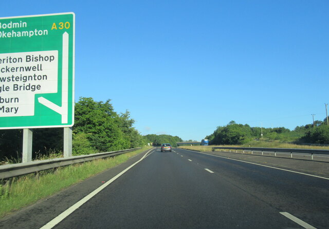
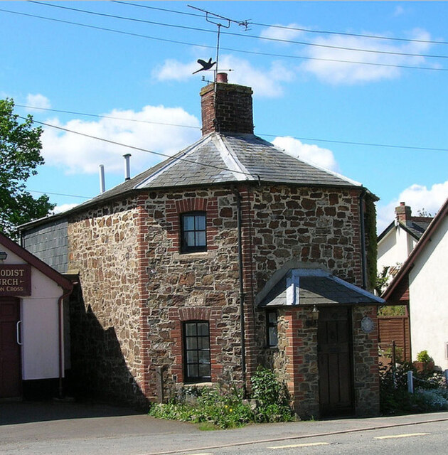
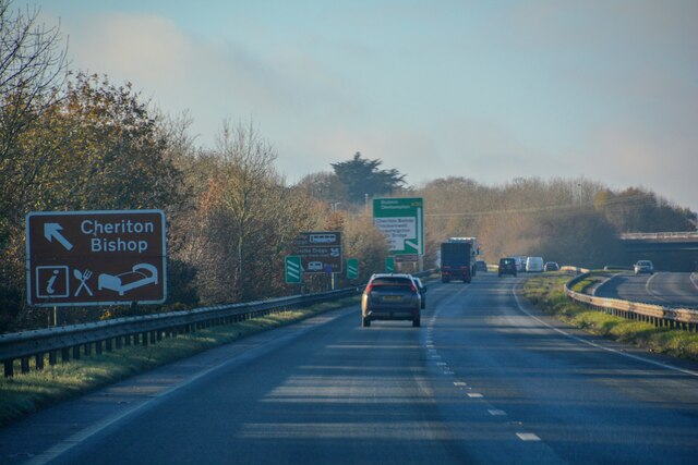
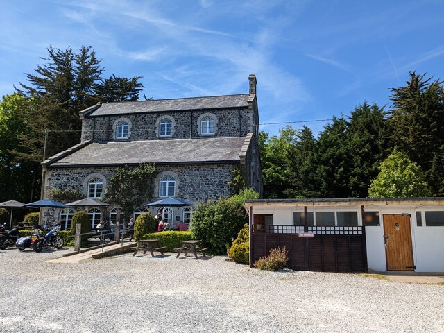
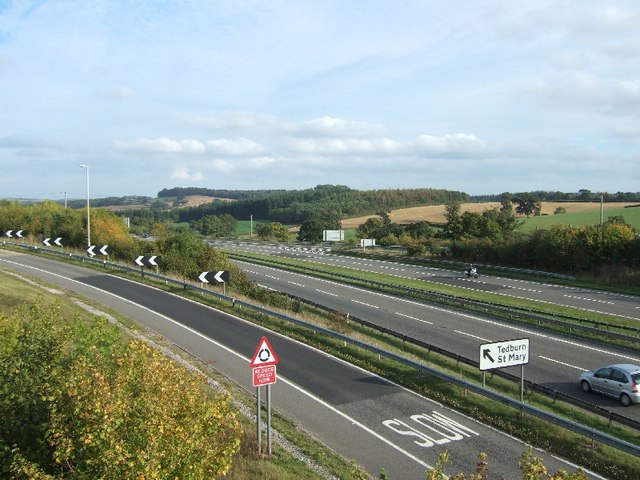
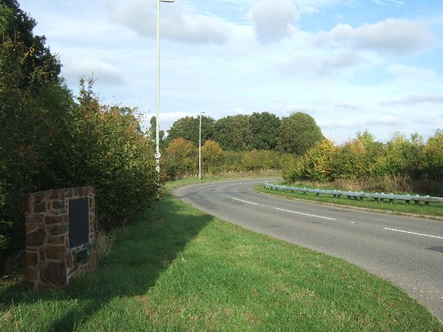
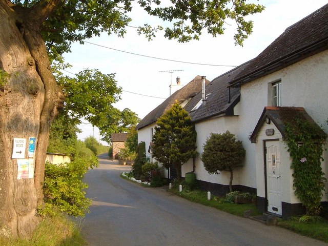
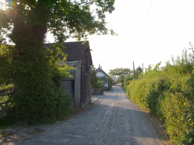
Images are sourced within 2km of 50.733087/-3.7259877 or Grid Reference SX7894. Thanks to Geograph Open Source API. All images are credited.

The A30 west at Woodleigh Junction
Former Toll House, Cheriton Cross On the South side of the main street through the village (ex A30).

Milestone Society National ID: DV.CHE
Former Toll House, Cheriton Cross
On the South side of the main street through the village (ex A30). Milestone Society National ID: DV.CHE
Cheriton Bishop : A30 Looking along the A30.
Cheriton Bishop : A30
Looking along the A30.
Woodleigh Coach House
A30 east of Woodleigh Junction
Woodleigh Junction, A30
The Old Thatch Inn Signs show that the inn is for sale
The Old Thatch Inn
Signs show that the inn is for sale
Bridge over A30
Bridge over A30
A30 from bridge at Cheriton Bishop
Plaque to mark the opening of bridge over A30 When the A30 dual carriageway was built, traffic at the junction for Cheriton Bishop and other villages had to cross the carriageway; it became an accident black-spot.  Local campaigners persuaded the Highways Agency to build a bridge and make a safer junction.  This plaque also notes the efforts of one local councillor in the campaign.
Plaque to mark the opening of bridge over A30
When the A30 dual carriageway was built, traffic at the junction for Cheriton Bishop and other villages had to cross the carriageway; it became an accident black-spot. Local campaigners persuaded the Highways Agency to build a bridge and make a safer junction. This plaque also notes the efforts of one local councillor in the campaign.
Dunsford Road, Cheriton Bishop From its junction with the old A30, with an old oak, after which the first cottage is named.
Dunsford Road, Cheriton Bishop
From its junction with the old A30, with an old oak, after which the first cottage is named.
Dunsford Road, Cheriton Bishop A reverse view of <a href="https://www.geograph.org.uk/photo/2645201">SX7792 : Dunsford Road, Cheriton Bishop</a>, from one oak tree to another.
Dunsford Road, Cheriton Bishop
A reverse view of SX7792 : Dunsford Road, Cheriton Bishop, from one oak tree to another.
Cheriton Cross When the old A30 was widened in 1969, the medieval cross was moved. It also serves as a war memorial <span class="nowrap"><a title="http://www.britishlistedbuildings.co.uk/en-95141-cheriton-cross-cheriton-bishop" rel="nofollow ugc noopener" href="http://www.britishlistedbuildings.co.uk/en-95141-cheriton-cross-cheriton-bishop">Link</a><img style="margin-left:2px;" alt="External link" title="External link - shift click to open in new window" src="https://s1.geograph.org.uk/img/external.png" width="10" height="10"/></span> .
Cheriton Cross
When the old A30 was widened in 1969, the medieval cross was moved. It also serves as a war memorial LinkExternal link .
A30 Approaching Woodleigh Junction, Westbound
Road heading east through Cheriton Bishop
Cheriton Cross road junction
Signpost at Four Cross Ways
Looking west from Four Cross Ways
Show me another place!

Western Brake is located at Grid Ref: SX7894 (Lat: 50.733087, Lng: -3.7259877)

Administrative County: Devon

District: Mid Devon

Police Authority: Devon and Cornwall

What 3 Words

///footballers.proud.radically. Near Crediton, Devon

Related Wikis

Cheriton Bishop

Cheriton Bishop is a village and civil parish situated on the northern borders of Dartmoor National park between Exeter and Okehampton, in Devon, England...

West Country English

West Country English is a group of English language varieties and accents used by much of the native population of South West England, the area sometimes...

Devon

Devon (/ˈdɛvən/ DEV-ən, historically also known as Devonshire /-ʃɪər, -ʃər/ -⁠sheer, -⁠shər) is a ceremonial county in South West England. It is bordered...

Great Fulford

Great Fulford is an historic estate in the parish of Dunsford, Devon. The grade I listed manor house, known as Great Fulford House, is about 9 miles west...

Nearby Amenities

Located within 500m of 50.733087,-3.7259877
The data included in this document is from www.openstreetmap.org. The data is made available under ODbL.

Have you been to Western Brake?

Leave your review of Western Brake below (or comments, questions and feedback).