Higher Venn Plantation
Wood, Forest in Devon Mid Devon
England
Higher Venn Plantation
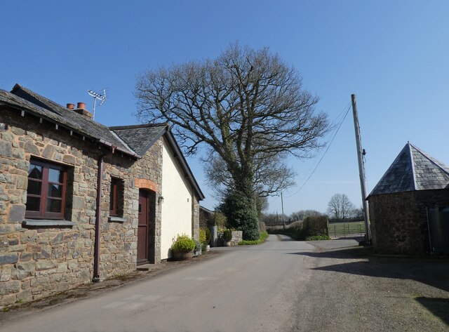
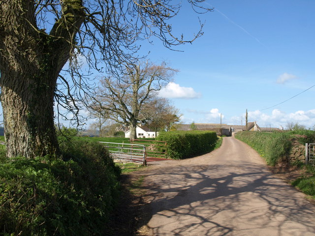
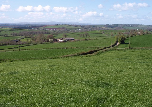
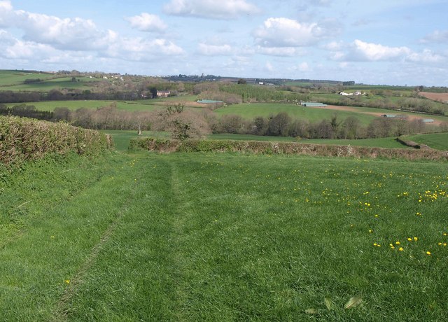
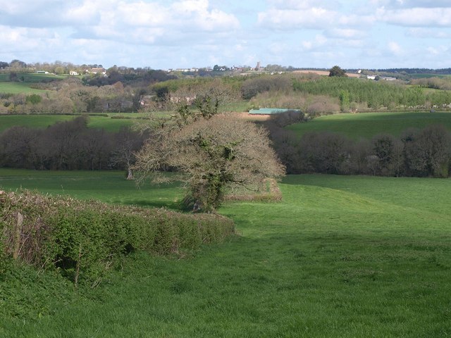
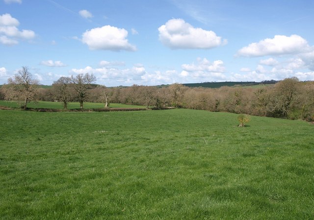
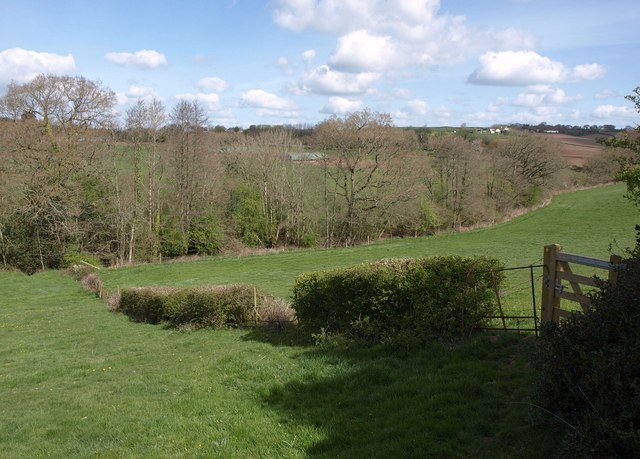
Higher Venn Plantation is a picturesque woodland located in the county of Devon, England. Situated near the village of Ashburton, this enchanting forest covers an area of approximately 100 acres. It is renowned for its natural beauty and is a popular destination for nature lovers, hikers, and wildlife enthusiasts.
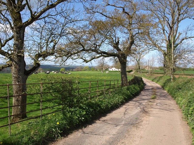
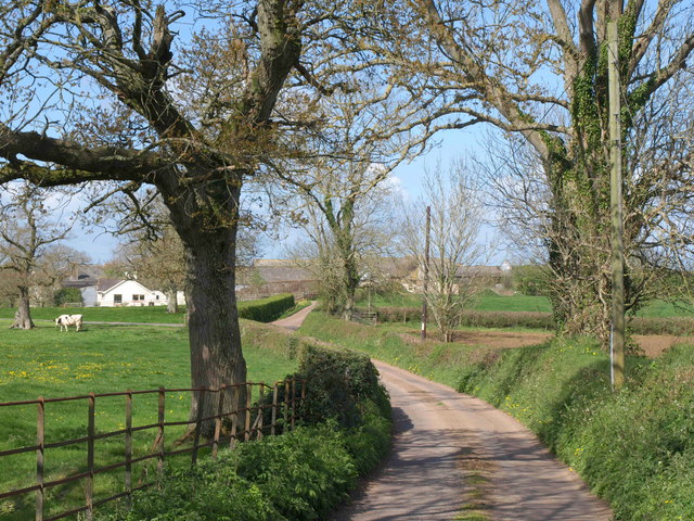
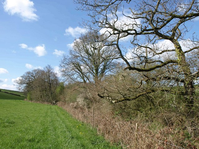
The woodland consists of a diverse range of indigenous tree species, including oak, beech, birch, and pine. These majestic trees create a dense canopy, providing a tranquil and shady environment for visitors to explore. The plantation is also home to a variety of wildlife, such as deer, foxes, badgers, and a wide array of bird species, making it an ideal spot for birdwatching and wildlife photography.
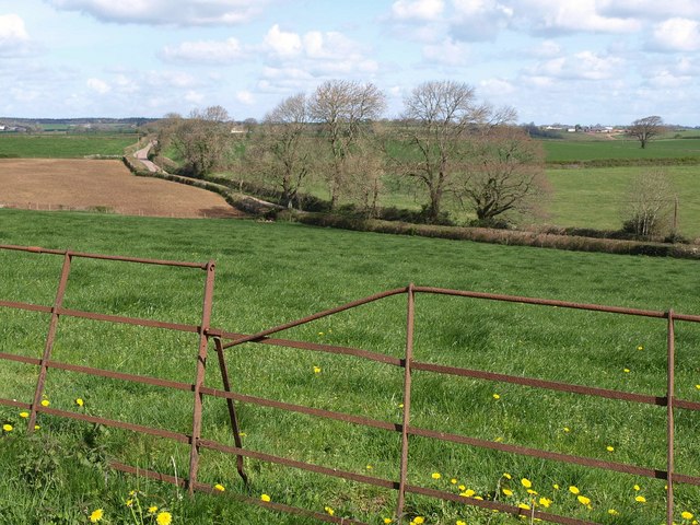
The forest offers a network of well-maintained walking trails, allowing visitors to immerse themselves in the serene atmosphere of the woodland. These trails wind through the plantation, leading to hidden gems such as a peaceful pond and a babbling brook. Along the way, visitors can appreciate the vibrant flora, including wildflowers, ferns, and mosses.
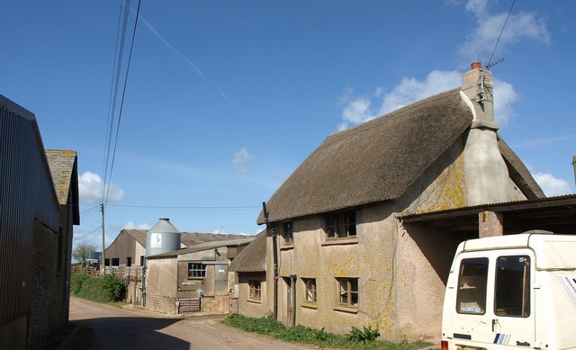
Higher Venn Plantation is not only a haven for flora and fauna but also a place of historical significance. The woodland has a rich past, with evidence of ancient settlements and iron mining activities dating back centuries. Exploring the area can provide a fascinating glimpse into the region's history and heritage.
Overall, Higher Venn Plantation in Devon is a captivating woodland that offers a harmonious blend of natural beauty, wildlife, and historical charm. Whether one seeks tranquility, adventure, or an opportunity to connect with nature, this forest is sure to leave a lasting impression on all who visit.
If you have any feedback on the listing, please let us know in the comments section below.
Higher Venn Plantation Images
Images are sourced within 2km of 50.84228/-3.7390627 or Grid Reference SS7706. Thanks to Geograph Open Source API. All images are credited.

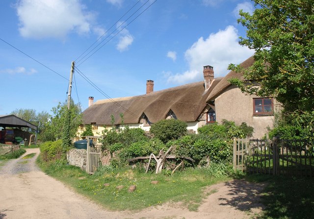
![Morchard Bishop from the air Morchard Bishop is &quot;the mid-way point for the Two Moors Way&quot; <span class="nowrap"><a title="https://www.visitmiddevon.co.uk/visit-mid-devon-listings/morchard-bishop/" rel="nofollow ugc noopener" href="https://www.visitmiddevon.co.uk/visit-mid-devon-listings/morchard-bishop/">Link</a><img style="margin-left:2px;" alt="External link" title="External link - shift click to open in new window" src="https://s1.geograph.org.uk/img/external.png" width="10" height="10"/></span> . Right in the centre of the image is &quot;a row of 13 [cottages] forming the longest continuous run of thatch-roofed buildings in Devon and probably the longest run in England&quot; <span class="nowrap"><a title="https://historicengland.org.uk/listing/the-list/list-entry/1263255?section=official-list-entry" rel="nofollow ugc noopener" href="https://historicengland.org.uk/listing/the-list/list-entry/1263255?section=official-list-entry">Link</a><img style="margin-left:2px;" alt="External link" title="External link - shift click to open in new window" src="https://s1.geograph.org.uk/img/external.png" width="10" height="10"/></span> - see <a href="https://www.geograph.org.uk/photo/917230">SS7607 : Thatched Cottages in Morchard Bishop</a>.](https://s1.geograph.org.uk/geophotos/07/79/10/7791049_aa381bed.jpg)
Higher Venn Plantation is located at Grid Ref: SS7706 (Lat: 50.84228, Lng: -3.7390627)
Administrative County: Devon
District: Mid Devon
Police Authority: Devon and Cornwall
What 3 Words
///simulator.divisions.ignore. Near Morchard Bishop, Devon
Nearby Locations
Related Wikis

Oldborough
Oldborough is a village in Devon, England. It is near the village of Morchard Bishop. Oldborough has a population of just under 1,000 people. The only...

Morchard Bishop
Morchard Bishop is a village and civil parish in Mid Devon in the English county of Devon. It has a population of 975, and contains a primary school, two...
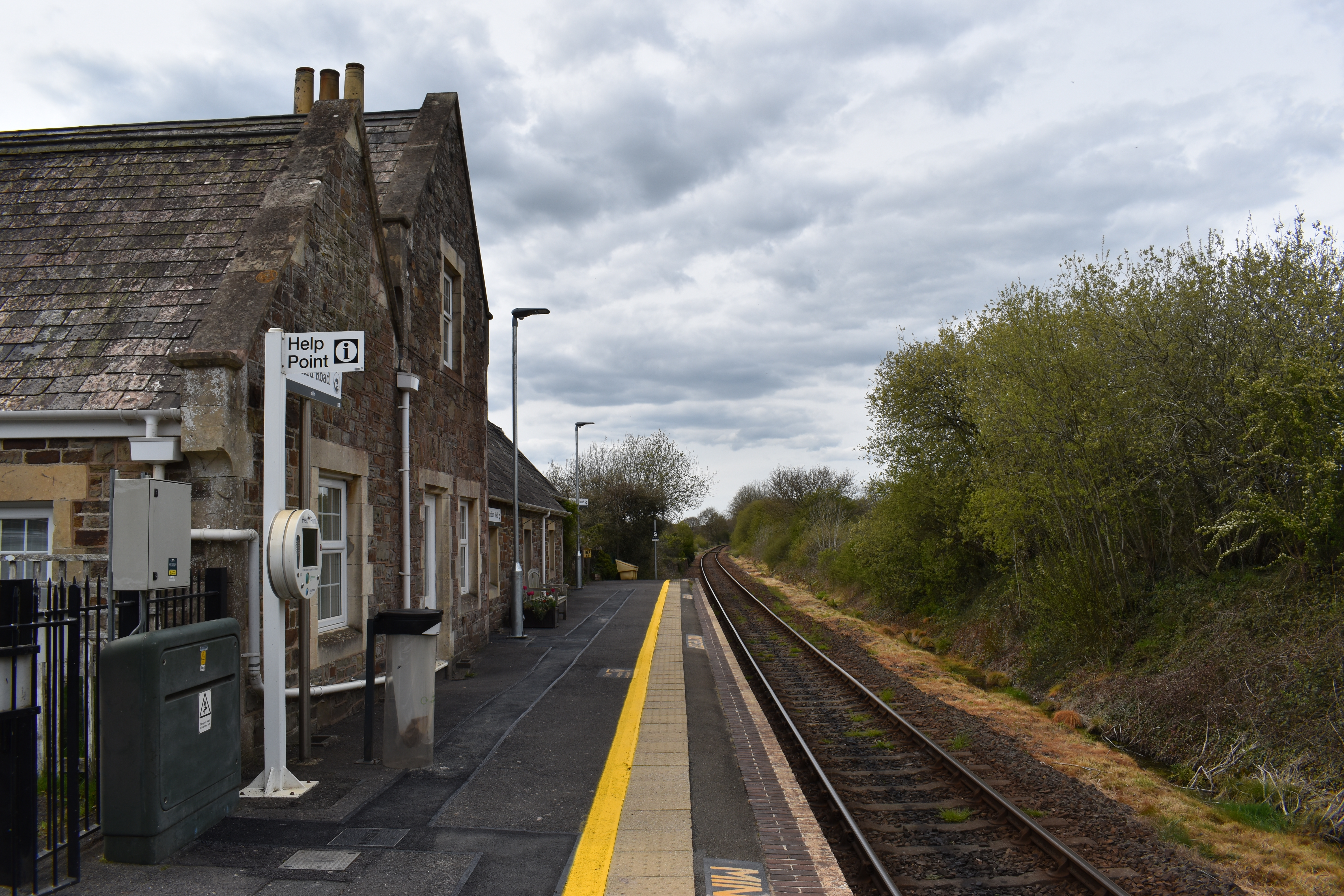
Morchard Road railway station
Morchard Road railway station is located in the village of Down St Mary in Devon, England. It is named after the village of Morchard Bishop which lies...

Morchard Road
Morchard Road is a small hamlet in mid Devon, UK. It has a pub, the Devonshire Dumpling. It also has a railway station on the Tarka Line. == External... ==
Nearby Amenities
Located within 500m of 50.84228,-3.7390627Have you been to Higher Venn Plantation?
Leave your review of Higher Venn Plantation below (or comments, questions and feedback).