Frost
Settlement in Devon Mid Devon
England
Frost
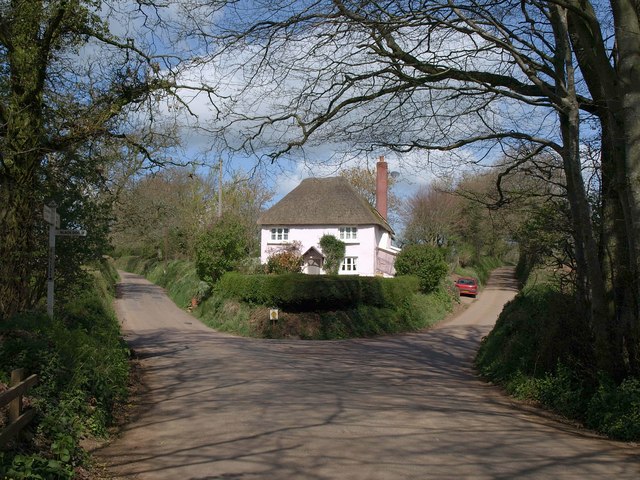
Frost is a small village located in the county of Devon, England. Situated in the South West of the country, Frost is nestled within the picturesque Dartmoor National Park. With a population of around 200 residents, this quaint village offers a tranquil and idyllic escape from the hustle and bustle of city life.
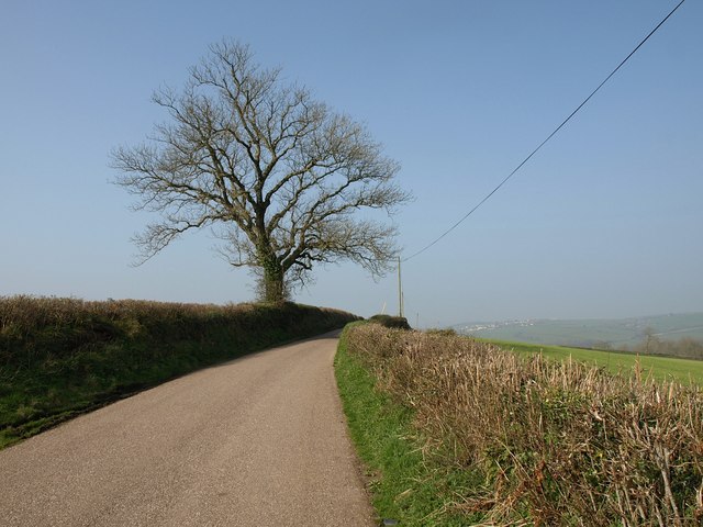
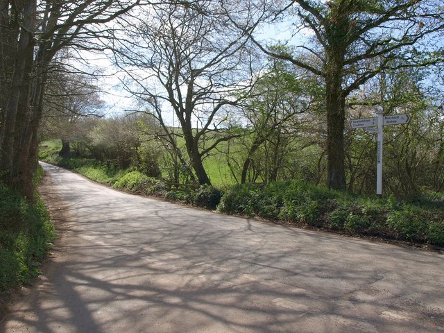
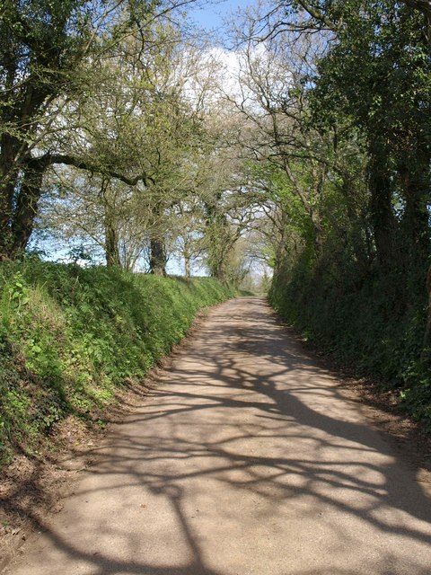
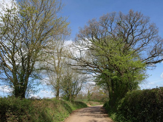
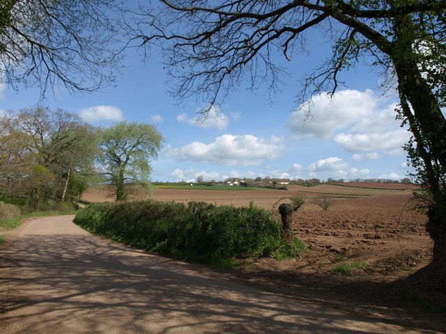
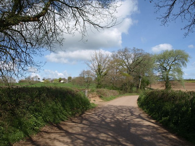
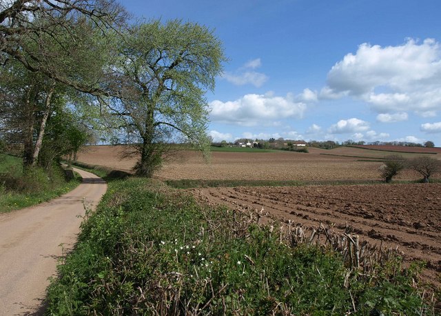
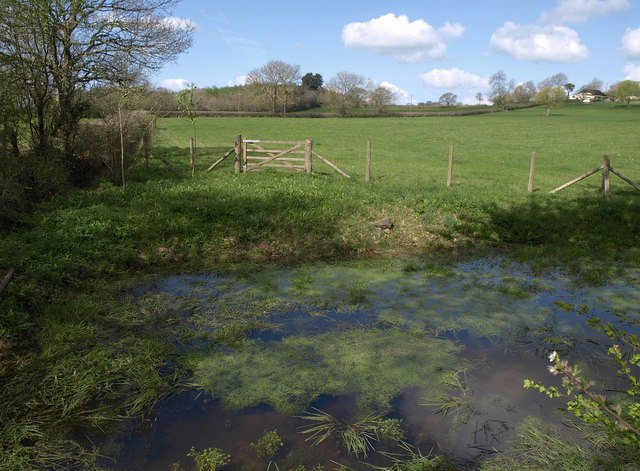
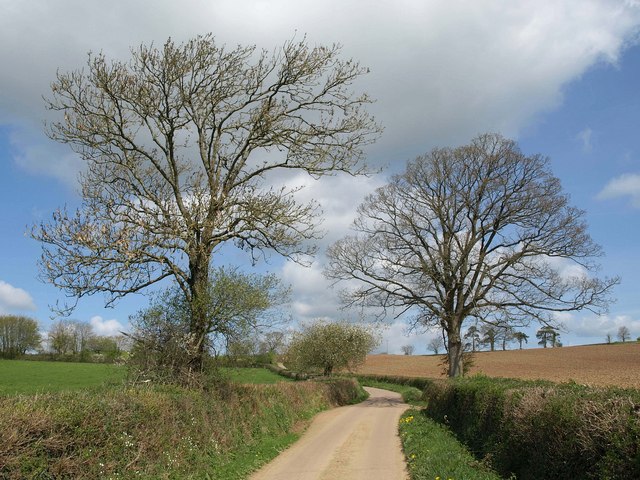
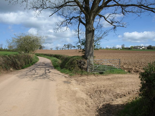
Surrounded by rolling hills and lush green countryside, Frost is a haven for nature enthusiasts and outdoor adventurers. The village is renowned for its stunning landscapes, with numerous walking trails and cycling routes that showcase the area's natural beauty. Dartmoor's famous granite tors can be seen in the distance, adding to the charm of the village.
Despite its small size, Frost has a close-knit community and a rich history. The village is home to a charming 12th-century church, which stands as a reminder of its long-standing heritage. The local pub, The Frosty Fox, serves as a hub for social gatherings and is a popular spot for visitors to enjoy a traditional British pub experience.
Frost is well-served by public transportation, with regular bus services connecting the village to nearby towns and cities. The village also has a few amenities, including a village shop and a post office, ensuring that residents have access to essential services.
Overall, Frost, Devon offers a peaceful and picturesque setting for those seeking a rural retreat. Its natural beauty, friendly community, and convenient location make it an appealing destination for both locals and tourists alike.
If you have any feedback on the listing, please let us know in the comments section below.
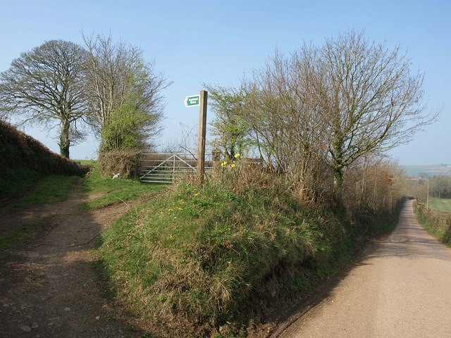
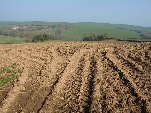
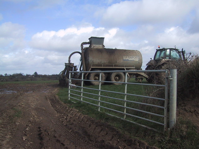
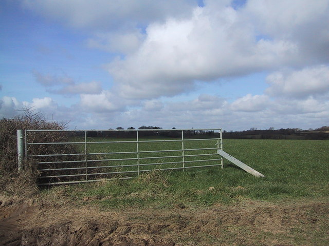
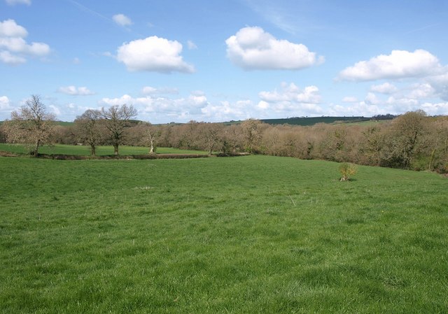
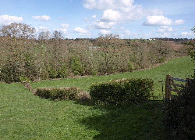
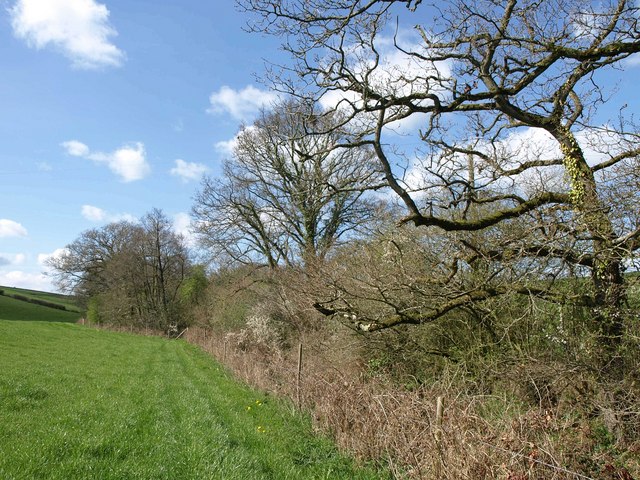
Frost Images
Images are sourced within 2km of 50.848466/-3.747219 or Grid Reference SS7706. Thanks to Geograph Open Source API. All images are credited.
Frost is located at Grid Ref: SS7706 (Lat: 50.848466, Lng: -3.747219)
Administrative County: Devon
District: Mid Devon
Police Authority: Devon and Cornwall
What 3 Words
///reckons.lizards.snuggle. Near Morchard Bishop, Devon
Nearby Locations
Related Wikis

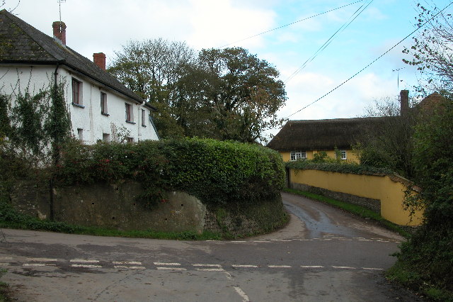
Morchard Bishop
Morchard Bishop is a village and civil parish in Mid Devon in the English county of Devon. It has a population of 975, and contains a primary school, two...

Oldborough
Oldborough is a village in Devon, England. It is near the village of Morchard Bishop. Oldborough has a population of just under 1,000 people. The only...
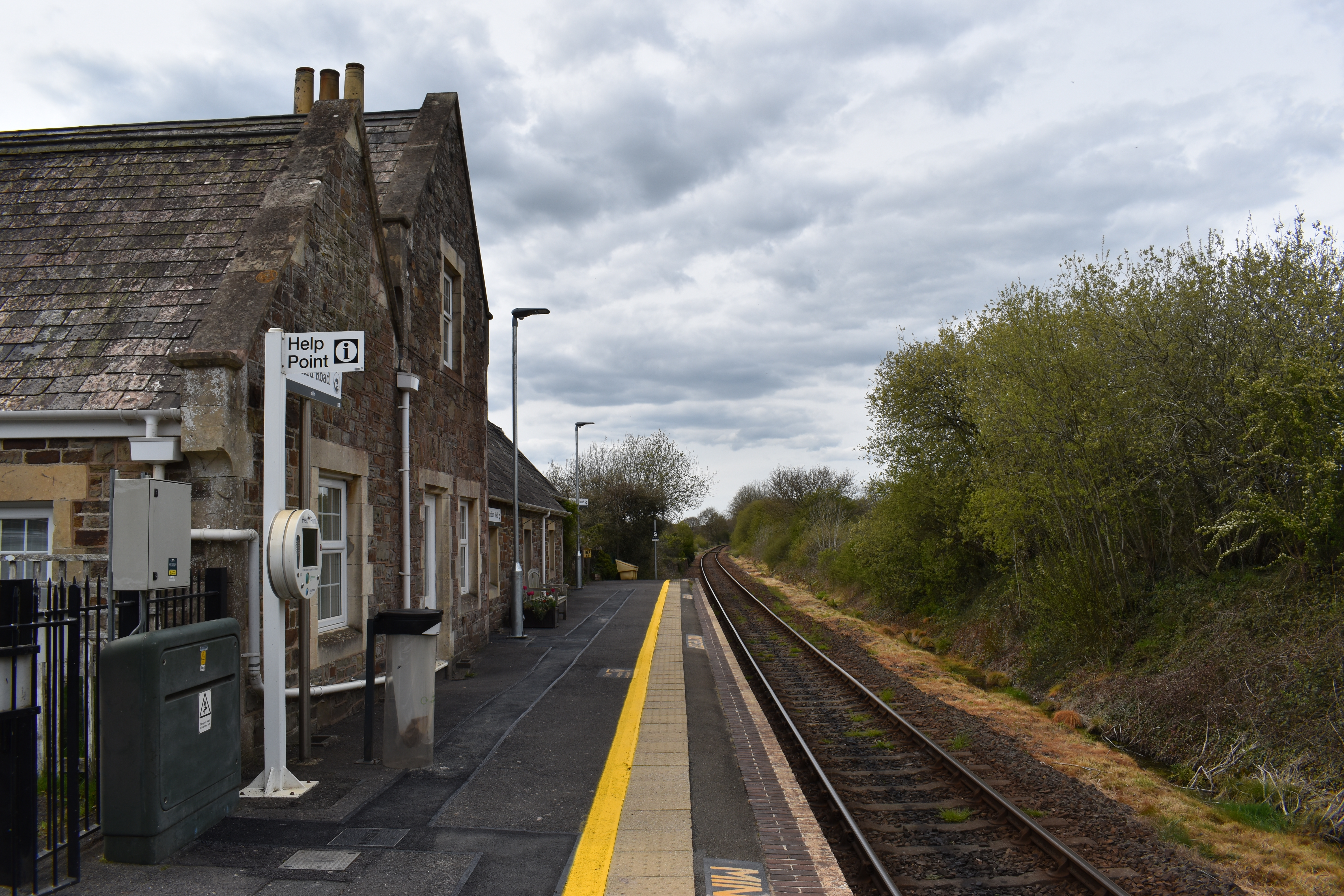
Morchard Road railway station
Morchard Road railway station is located in the village of Down St Mary in Devon, England. It is named after the village of Morchard Bishop which lies...

Morchard Road
Morchard Road is a small hamlet in mid Devon, UK. It has a pub, the Devonshire Dumpling. It also has a railway station on the Tarka Line. == External... ==
Eastington, Devon
Eastington is a hamlet in the English county of Devon. Eastington is about one mile east of the village of Lapford. The hamlet comprises a dairy farm and...

Berry Castle, Black Dog
Berry Castle is an earthwork probably dating to the Iron Age close to Black Dog in Devon north of Crediton and west of Tiverton. It does not fit the traditional...

Down St Mary
Down St Mary is a small village, and civil parish off the A377 in Mid Devon in the English county of Devon. It has a population of 316. == References... ==
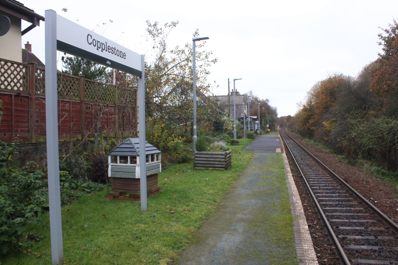
Copplestone railway station
Copplestone railway station is on the Tarka Line serving the village of Copplestone in Devon, England. It is on the Tarka Line to Barnstaple, 14 miles...
Nearby Amenities
Located within 500m of 50.848466,-3.747219Have you been to Frost?
Leave your review of Frost below (or comments, questions and feedback).