Birchcleave Wood
Wood, Forest in Somerset Somerset West and Taunton
England
Birchcleave Wood
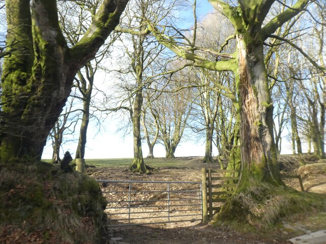
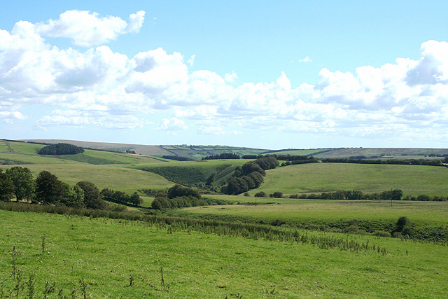
Birchcleave Wood is a picturesque woodland located in Somerset, England. Spanning over an area of approximately 100 acres, this enchanting forest is renowned for its diverse flora and fauna, making it a popular destination for nature enthusiasts and hikers alike.
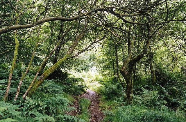
The wood is predominantly characterized by its dense canopy of towering birch trees, which lend the woodland its name. These trees, with their distinctive white bark and delicate leaves, create a serene and ethereal atmosphere within the forest. However, Birchcleave Wood is not limited to just birch trees, as it also boasts a rich variety of other tree species such as oak, beech, and hazel, adding to the visual splendor of the woodland.
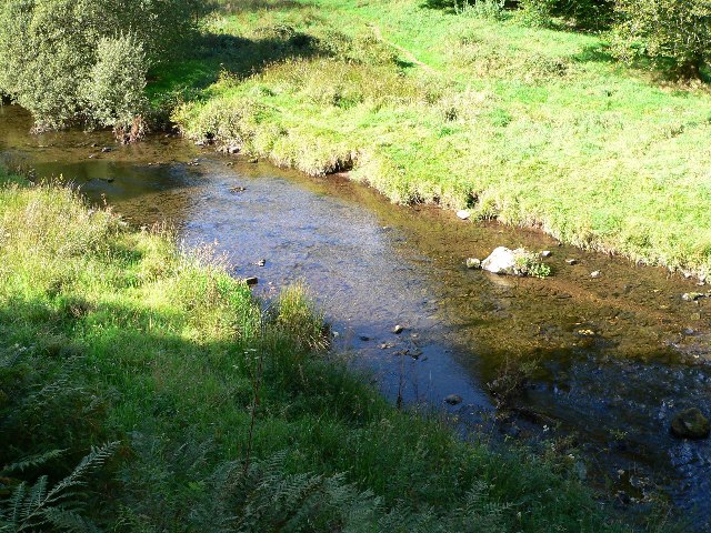
Within Birchcleave Wood, visitors can meander along a network of well-maintained trails, allowing them to explore the natural wonders that the forest has to offer. These paths wind through the woodland, revealing hidden glades, babbling brooks, and vibrant wildflower displays, providing a peaceful and tranquil escape from the outside world.
The wood is home to a diverse array of wildlife, including deer, foxes, badgers, and a vast assortment of bird species. Keen-eyed visitors may be lucky enough to spot rare and elusive creatures such as the lesser-spotted woodpecker or the elusive red squirrel.
Birchcleave Wood is a cherished natural treasure in Somerset, offering visitors a unique opportunity to immerse themselves in the beauty and tranquility of a quintessential English woodland.
If you have any feedback on the listing, please let us know in the comments section below.
Birchcleave Wood Images
Images are sourced within 2km of 51.138584/-3.7511336 or Grid Reference SS7739. Thanks to Geograph Open Source API. All images are credited.


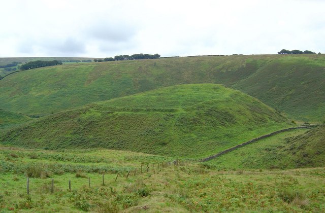
![Great Woolcombe sheepfold A large square C19th sheepfold high on the exposed moor [<span class="nowrap"><a title="http://webapp1.somerset.gov.uk/her/details.asp?prn=33129" rel="nofollow ugc noopener" href="http://webapp1.somerset.gov.uk/her/details.asp?prn=33129">Link</a><img style="margin-left:2px;" alt="External link" title="External link - shift click to open in new window" src="https://s1.geograph.org.uk/img/external.png" width="10" height="10"/></span>]. The boundary hedges, now very neglected, have long grown into sizable beech trees.](https://s3.geograph.org.uk/photos/52/69/526939_ce810bec.jpg)


Birchcleave Wood is located at Grid Ref: SS7739 (Lat: 51.138584, Lng: -3.7511336)
Administrative County: Somerset
District: Somerset West and Taunton
Police Authority: Avon and Somerset
What 3 Words
///skip.protests.picturing. Near Lynton, Devon
Nearby Locations
Related Wikis

St Luke's Church, Simonsbath
St Luke's Church is a Church of England church in Simonsbath, Exmoor, Somerset, England. The church, which was designed by Henry Clutton and built in 1855...

Simonsbath
Simonsbath () is a small village high on Exmoor in the English county of Somerset. It is the principal settlement in the Exmoor civil parish, which is...
Simonsbath House
Simonsbath House is a historic house in Simonsbath on Exmoor in Somerset, England. The Grade II listed building is now the Simonsbath House Hotel, and...

Wheal Eliza Mine
Wheal Eliza Mine was an unsuccessful copper and iron mine on the River Barle near Simonsbath on Exmoor in the English county of Somerset. The first mining...
Cow Castle
Cow Castle is an Iron Age hillfort 5.75 kilometres (4 mi) West South West of Exford, Somerset, England within the Exmoor National Park. It is a Scheduled...

Lanacombe
Lanacombe is an area of Exmoor in Somerset, South West England. It is the site of several standing stones and cairns which have been scheduled as ancient...

North Exmoor SSSI
North Exmoor (grid reference SS800430) is a 12,005.3-hectare (29,666-acre) biological Site of Special Scientific Interest (SSSI) in Devon and Somerset...

Chains (geological site)
The Chains is the name given to the north-west plateau of Exmoor, Somerset, England. This plateau lies above the 1,500 feet (457 m) contour line, and includes...
Nearby Amenities
Located within 500m of 51.138584,-3.7511336Have you been to Birchcleave Wood?
Leave your review of Birchcleave Wood below (or comments, questions and feedback).