Wotton's Moor Copse

Wood, Forest in Devon Mid Devon

England

Wotton's Moor Copse

Warning signs in Keymelford The road drops into a valley with a ford, followed by a railway bridge with limited headroom.
Warning signs in Keymelford Credit: David Smith

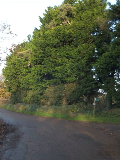
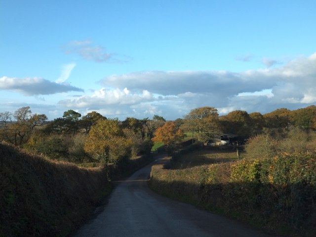
Wotton's Moor Copse is a picturesque and diverse woodland located in Devon, England. Covering an area of approximately 50 hectares, this ancient woodland is nestled within the beautiful countryside of the county. The copse is situated near the village of Wotton, hence its name.

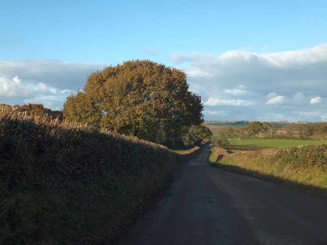
The woodland boasts a rich biodiversity, with a variety of tree species dominating the landscape. The towering oak trees are particularly impressive, providing a dense canopy that filters the sunlight and creates a cool and tranquil atmosphere within the copse. Other notable tree species include beech, ash, and hazel, which add to the overall diversity of the woodland.

Wotton's Moor Copse is home to a wide range of wildlife, making it a popular destination for nature enthusiasts and birdwatchers. It provides a habitat for many bird species such as woodpeckers, thrushes, and owls, which can be heard and spotted throughout the year. The woodland also supports a healthy population of mammals, including deer, foxes, and badgers.

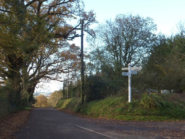
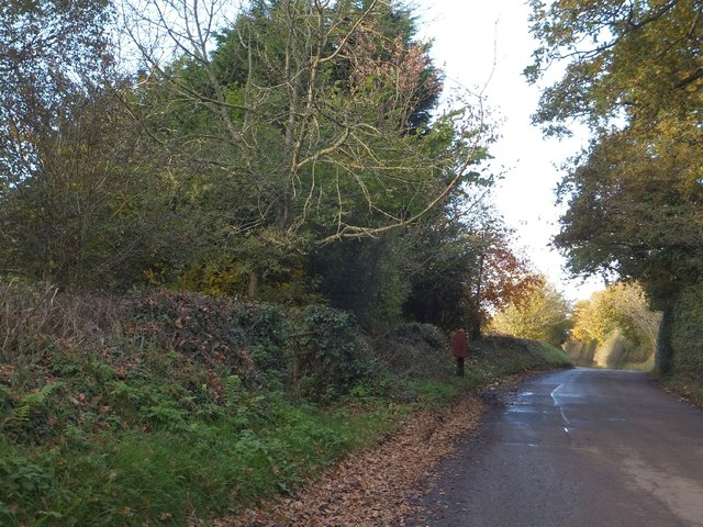
Visitors to the copse can enjoy a network of footpaths and trails that wind through the woodland, offering opportunities for peaceful walks and exploration. The tranquil atmosphere, combined with the enchanting beauty of the trees and wildlife, make Wotton's Moor Copse a perfect escape from the hustle and bustle of everyday life.

With its natural charm and abundance of flora and fauna, Wotton's Moor Copse is a true gem of Devon's landscape. Whether for a leisurely stroll, birdwatching, or simply immersing oneself in nature, this woodland offers a serene and memorable experience for all who visit.

If you have any feedback on the listing, please let us know in the comments section below.

Wotton's Moor Copse Images

Images are sourced within 2km of 50.765474/-3.7398003 or Grid Reference SX7797. Thanks to Geograph Open Source API. All images are credited.

Warning signs in Keymelford The road drops into a valley with a ford, followed by a railway bridge with limited headroom.
Warning signs in Keymelford
The road drops into a valley with a ford, followed by a railway bridge with limited headroom.
Ford in Keymelford The road crosses the bridge, which can become a ford when the flow is high.  Pedestrians have a higher bridge, from which this picture was taken.
Ford in Keymelford
The road crosses the bridge, which can become a ford when the flow is high. Pedestrians have a higher bridge, from which this picture was taken.
On the way to Barnstaple The train has just passed Yeoford station heading towards Barnstaple.
On the way to Barnstaple
The train has just passed Yeoford station heading towards Barnstaple.
Lone tree near Binneford On the right are woods in Vinnicombe Plantation
Lone tree near Binneford
On the right are woods in Vinnicombe Plantation
Binneford ford and footbridge
Steep field at Binneford Just to the north of the ford, the field slopes to the stream; a farm track follows a gentle slope on the right
Steep field at Binneford
Just to the north of the ford, the field slopes to the stream; a farm track follows a gentle slope on the right
Autumn colour at Binneford
Lone tree outside Shortacombe Farm The farm is on the left, with its entrance close to the further tree.
Lone tree outside Shortacombe Farm
The farm is on the left, with its entrance close to the further tree.
A patriotic gesture at Three Gate Cross
Mid-Devon farmland from Three Gate Cross The view north-east from the crossroads.
Mid-Devon farmland from Three Gate Cross
The view north-east from the crossroads.
Trees and bridleway at Rock Cross The bridleway on the right (Rock Lane) passes Rock Farm and avoids a detour to Three Gate Cross.
Trees and bridleway at Rock Cross
The bridleway on the right (Rock Lane) passes Rock Farm and avoids a detour to Three Gate Cross.
Woodland Cross
Woodland Cross
Postbox at Woodland Cross Despite the apparent isolation of this postbox, it is convenient for several nearby farms and houses.
Postbox at Woodland Cross
Despite the apparent isolation of this postbox, it is convenient for several nearby farms and houses.
Enterlake Farm The farm buildings are on the right after the dip in the road
Enterlake Farm
The farm buildings are on the right after the dip in the road
Minor road north of Enterlake Farm The minor road climbs to a spot height of 145m, and this is the view of the slope to the north and the valley beyond shortly after that highest point
Minor road north of Enterlake Farm
The minor road climbs to a spot height of 145m, and this is the view of the slope to the north and the valley beyond shortly after that highest point
An impressive row of trees beside a farm track The track is bounded on the north by these tall trees.  There are indications that there was a bank as boundary between the fields, but not a hedge.
An impressive row of trees beside a farm track
The track is bounded on the north by these tall trees. There are indications that there was a bank as boundary between the fields, but not a hedge.
The road into Yeoford from Woodland Head
Holy Trinity church, Yeoford
Show me another place!

Wotton's Moor Copse is located at Grid Ref: SX7797 (Lat: 50.765474, Lng: -3.7398003)

Administrative County: Devon

District: Mid Devon

Police Authority: Devon and Cornwall

What 3 Words

///talked.wolves.excavate. Near Copplestone, Devon

Related Wikis

Crediton Hamlets

Crediton Hamlets is a civil parish in Mid Devon in the English county of Devon. It has a population of 1,307. == References ==

Yeoford

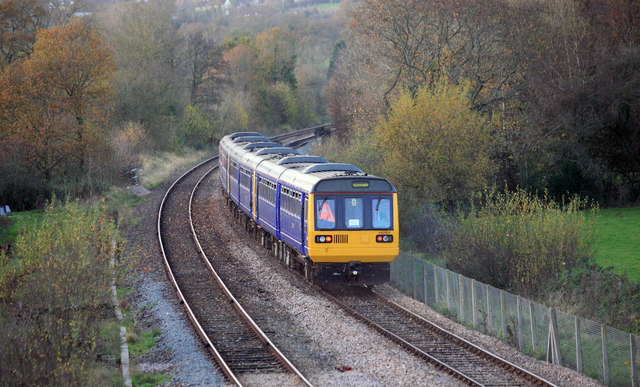
Yeoford () is a village near the town of Crediton in Devon, England. It is served by Yeoford railway station on the Exeter to Barnstaple railway line,...

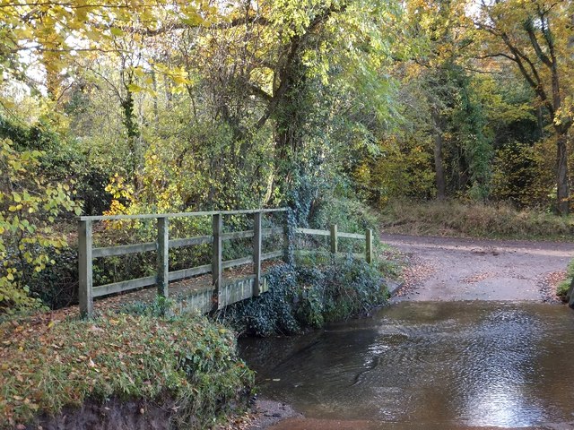
River Yeo (tributary of the Creedy)

The River Yeo is a tributary to the River Creedy. It is located in Devon, England, and its headwaters float within two miles of a different River Yeo,...

Yeoford railway station

Yeoford railway station is a rural station serving the village of Yeoford in Devon, England. It is on the Tarka Line to Barnstaple, 11 miles 42 chains...

Colebrooke, Devon

Colebrooke is a village and parish in Devon, England about 8 km west of Crediton. The main point of interest is the church and the connection to Henry...

Penstone

Penstone is a hamlet of some 21 houses in Devon, England, about 1 mile (2 km) from the villages of Colebrooke and Coleford, close to the point where the...

Coleford, Devon

Coleford is a small hamlet in Mid-Devon, England. It includes a pub, The New Inn with their resident parrot of over 40 years Captain, and also has a park...

Posbury

Posbury is an ancient estate in Devon, now a hamlet, situated about 2 miles south-west of Crediton and 2 miles north of Tedburn St Mary and 1 mile west...

Nearby Amenities

Located within 500m of 50.765474,-3.7398003
Addr City: Crediton
Addr Housename: Mill Farm
Addr Postcode: EX17 5HB
Addr Suburb: Yeoford
Source: OS_OpenData_StreetView
Lat/Long: 50.7652265/-3.7445647
The data included in this document is from www.openstreetmap.org. The data is made available under ODbL.

Have you been to Wotton's Moor Copse?

Leave your review of Wotton's Moor Copse below (or comments, questions and feedback).