Homepark Copse
Wood, Forest in Devon Mid Devon
England
Homepark Copse

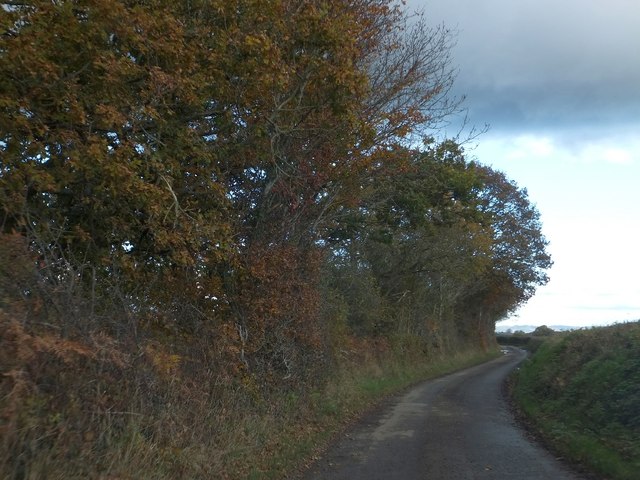
Homepark Copse is a charming woodland area located in the county of Devon, England. Situated near the village of Woodbury, this copse is known for its natural beauty and tranquil environment. Spanning over a vast area, Homepark Copse is a popular destination for nature enthusiasts and walkers alike.
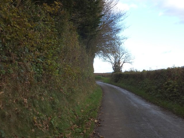
The copse is predominantly made up of various species of trees, including oak, beech, and ash. These trees create a dense canopy, providing shade and shelter for a diverse range of flora and fauna. The forest floor is carpeted with a rich assortment of wildflowers, such as bluebells and primroses, adding a burst of color to the surroundings during the springtime.
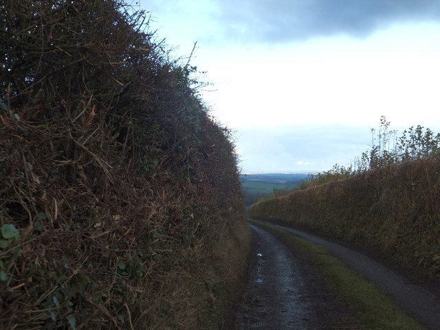
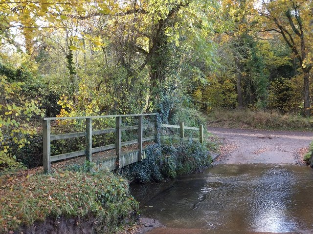
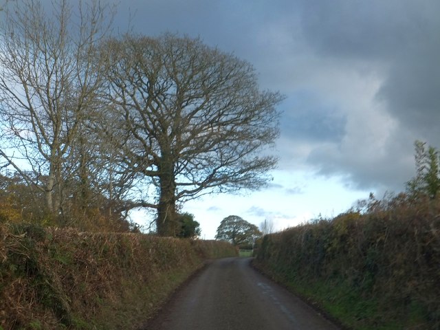
The copse is crisscrossed by a network of walking trails, allowing visitors to explore the area at their own pace. These well-maintained paths wind their way through the woods, offering stunning views of the surrounding countryside. The peaceful ambiance is occasionally interrupted by the chirping of birds and the rustling of leaves, creating a truly immersive experience in nature.
Homepark Copse is also home to a variety of wildlife. Visitors may catch a glimpse of deer, foxes, and rabbits, as well as a multitude of bird species, including woodpeckers and owls. The copse provides a vital habitat for these creatures, offering ample food and shelter throughout the year.
Overall, Homepark Copse is a hidden gem within the Devon countryside. With its picturesque woodland, diverse wildlife, and peaceful atmosphere, it is a must-visit destination for those seeking a respite from the hustle and bustle of everyday life.
If you have any feedback on the listing, please let us know in the comments section below.
Homepark Copse Images
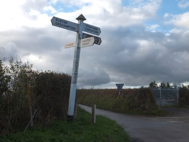
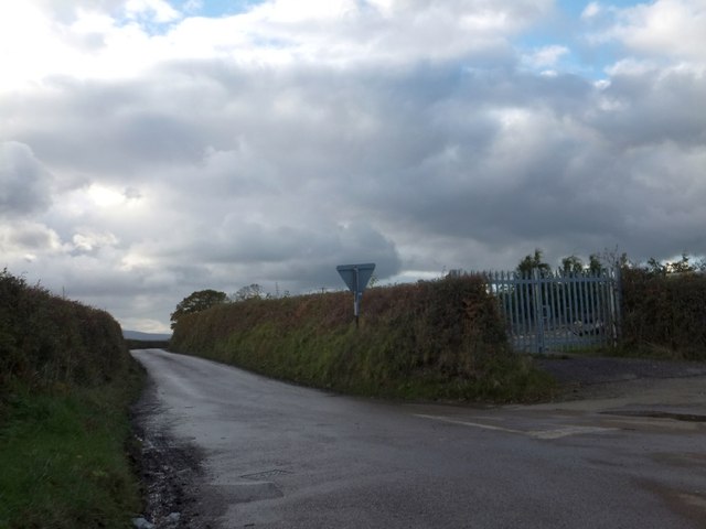
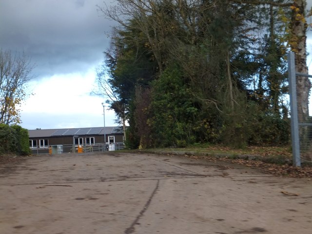
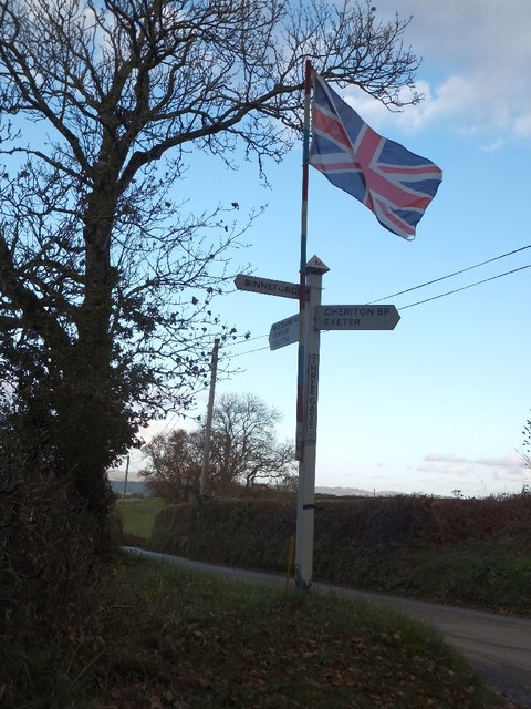
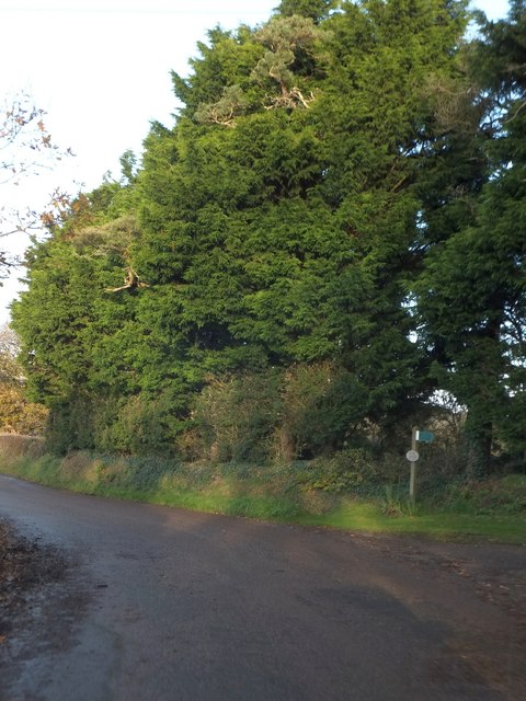
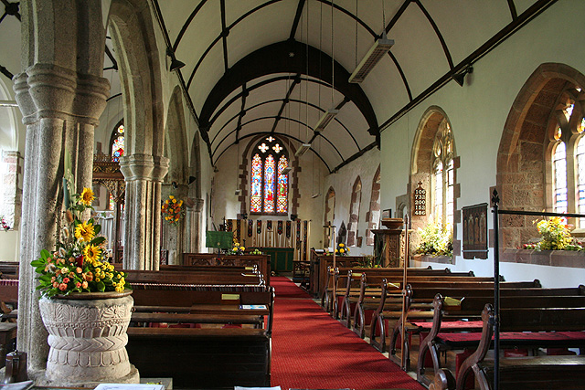
Images are sourced within 2km of 50.745711/-3.7503081 or Grid Reference SX7695. Thanks to Geograph Open Source API. All images are credited.


Homepark Copse is located at Grid Ref: SX7695 (Lat: 50.745711, Lng: -3.7503081)
Administrative County: Devon
District: Mid Devon
Police Authority: Devon and Cornwall
What 3 Words
///walls.prom.deduced. Near Copplestone, Devon
Nearby Locations
Related Wikis
Cheriton Bishop
Cheriton Bishop is a village and civil parish situated on the northern borders of Dartmoor National park between Exeter and Okehampton, in Devon, England...

St Andrew's Church, Hittisleigh
St Andrew's Church, Hittisleigh, is an Anglican parish church in Hittisleigh in Mid Devon. It is listed Grade I on the National Heritage List for England...
Hittisleigh
Hittisleigh is a small rural parish and village just north-east of Dartmoor in Devon. Once part of the ancient district of the Wonford Hundred, it is now...

Crockernwell
Crockernwell is a small village with a Methodist church. It is located 2 miles west of Cheriton Bishop and 12 miles west of Exeter, Devon, England. �...
Nearby Amenities
Located within 500m of 50.745711,-3.7503081Have you been to Homepark Copse?
Leave your review of Homepark Copse below (or comments, questions and feedback).