Severy Plantation

Wood, Forest in Devon North Devon

England

Severy Plantation

East Quince Farm Near South Molton
East Quince Farm Credit: John Phillips

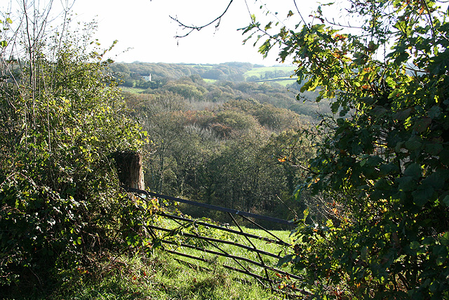
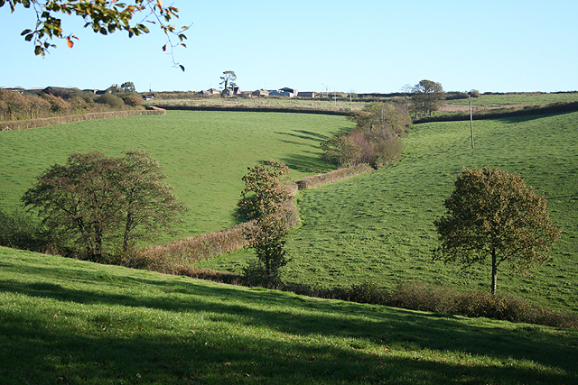
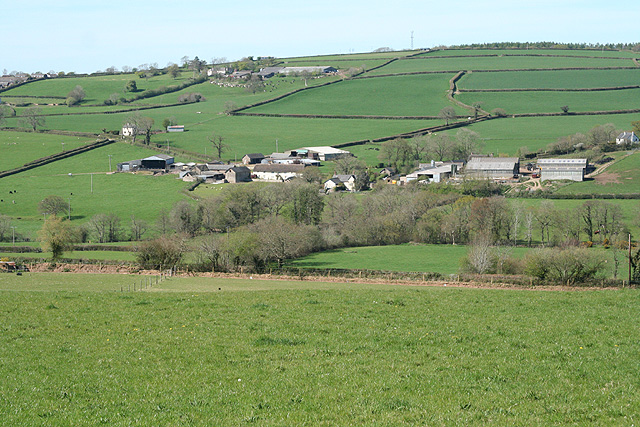
Severy Plantation is a scenic woodland area located in Devon, England. Situated in the heart of the county, it is renowned for its natural beauty and rich biodiversity. Covering an expansive area, the plantation is predominantly characterized by its dense forest, which is home to a wide variety of plant and animal species.

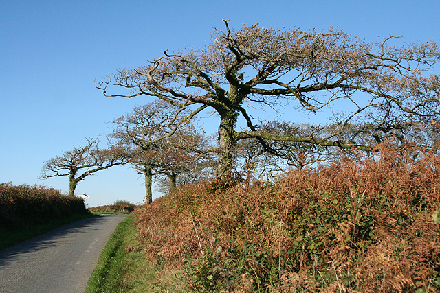
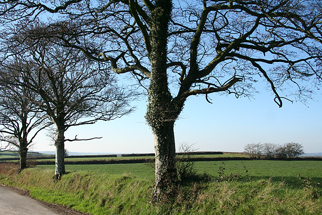
The woodland of Severy Plantation is predominantly composed of native trees such as oak, beech, and birch. These towering trees provide a lush canopy that creates a tranquil and peaceful atmosphere. The forest floor is adorned with a carpet of vibrant wildflowers and ferns, adding to the visual appeal of the plantation.

The plantation offers various recreational opportunities for visitors. There are well-maintained walking trails that wind through the woodland, allowing visitors to explore the natural surroundings at their own pace. These trails are suitable for all ages and fitness levels, offering a chance to enjoy the beauty of the plantation while engaging in physical activity.

Severy Plantation is also a popular spot for birdwatching enthusiasts, as it provides a habitat for numerous avian species. Visitors can spot birds such as woodpeckers, owls, and various songbirds while strolling through the woodland.

Overall, Severy Plantation in Devon is a haven for nature lovers and outdoor enthusiasts. Its picturesque landscape, diverse flora and fauna, and recreational opportunities make it an ideal destination for those seeking a peaceful escape in the heart of nature.

If you have any feedback on the listing, please let us know in the comments section below.

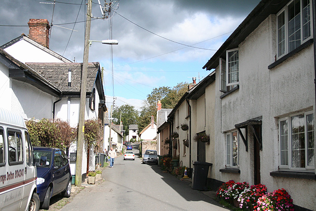
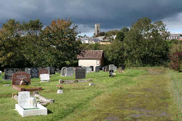
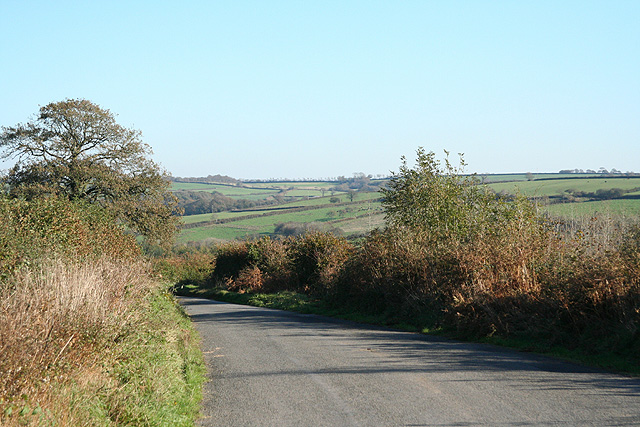
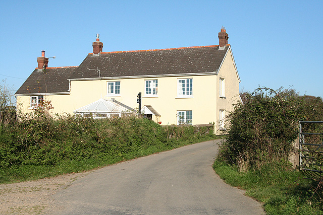
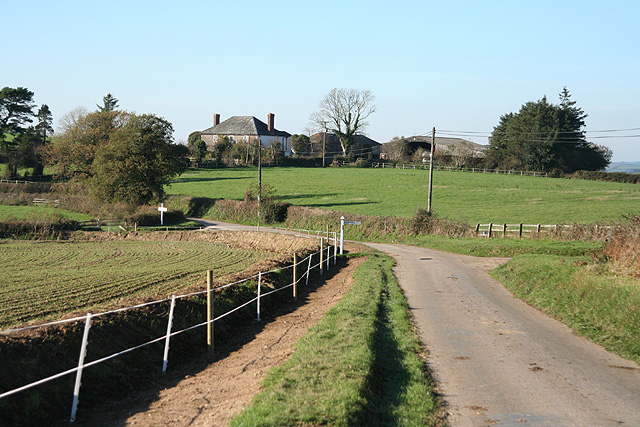
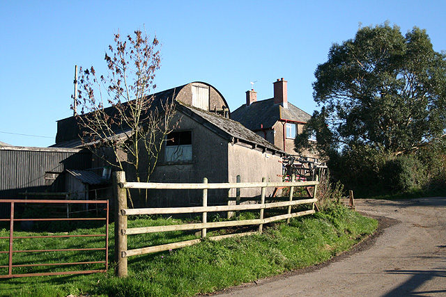
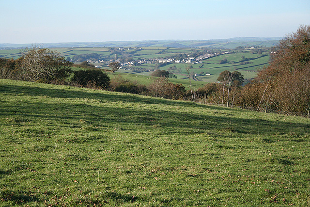
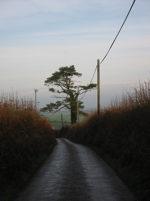
Severy Plantation Images

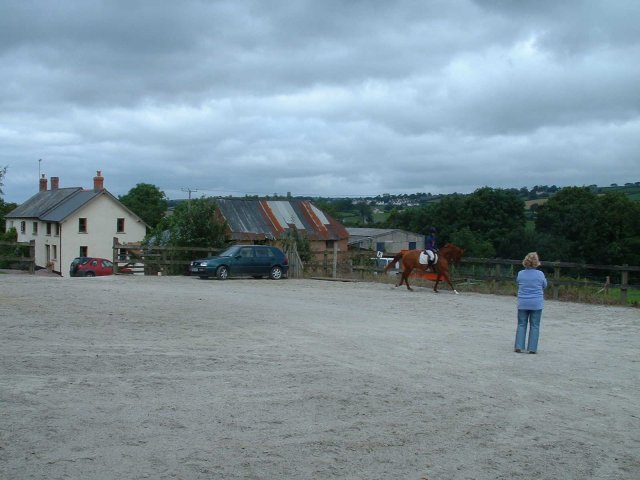
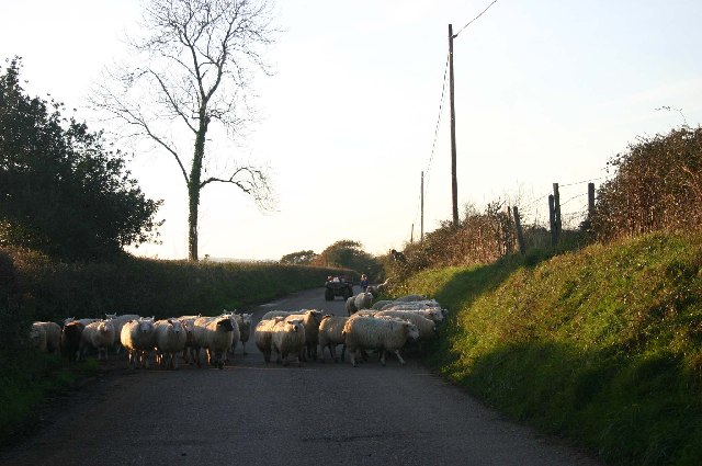
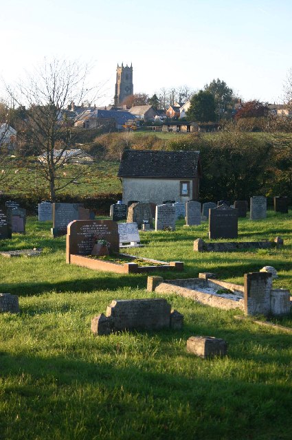
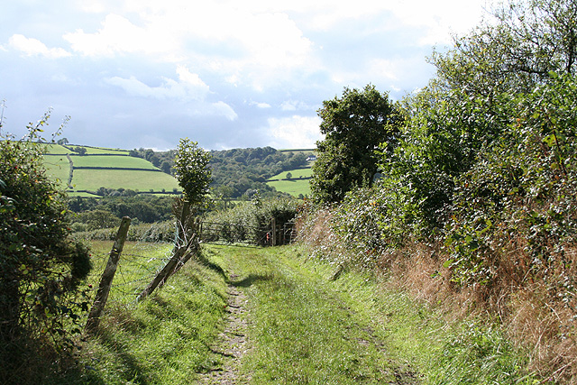
Images are sourced within 2km of 50.987177/-3.7595767 or Grid Reference SS7622. Thanks to Geograph Open Source API. All images are credited.

East Quince Farm Near South Molton
East Quince Farm
Near South Molton
Sheep on the road to Avercombe
Cemetery on outskirts of Bishops Nympton
Bishop’s Nympton: footpath to Avercombe Mill Looking south. Here the path adjoins the village’s cemetery
Bishop’s Nympton: footpath to Avercombe Mill
Looking south. Here the path adjoins the village’s cemetery
Bishop’s Nympton: village street Looking north near the churchyard entrance. Behind the camera on the east side of the street are a post office and an inn, the Old Snare and Gin Trap
Bishop’s Nympton: village street
Looking north near the churchyard entrance. Behind the camera on the east side of the street are a post office and an inn, the Old Snare and Gin Trap
Bishop’s Nympton: cemetery Looking north west towards the village on the hill, dominated by the tower of St Mary’s Church
Bishop’s Nympton: cemetery
Looking north west towards the village on the hill, dominated by the tower of St Mary’s Church
Rose Ash: near Whippenscott Looking south-south-east towards Wester Moor. The Little Silver runs in the wooded valley and in the past turned two or three watermills before joining the river Mole at Alswear
Rose Ash: near Whippenscott
Looking south-south-east towards Wester Moor. The Little Silver runs in the wooded valley and in the past turned two or three watermills before joining the river Mole at Alswear
Rose Ash: above the Little Silver valley On the lane to Bigbrook, looking east-south-east
Rose Ash: above the Little Silver valley
On the lane to Bigbrook, looking east-south-east
Rose Ash: Quince Cross Approaching the crossroads from the south: looking roughly north
Rose Ash: Quince Cross
Approaching the crossroads from the south: looking roughly north
Rose Ash: West Centry Looking north-north-east on the lane to Quince Cross
Rose Ash: West Centry
Looking north-north-east on the lane to Quince Cross
Rose Ash: near Munson Farm Looking west by the farm entrance, out of shot to the left
Rose Ash: near Munson Farm
Looking west by the farm entrance, out of shot to the left
Mariansleigh: approaching Hilltown The right turn heads for Bishop’s Nympton; the next junction, on the left, is for Upcott. Ahead is Hilltown farm and the road to Mariansleigh village
Mariansleigh: approaching Hilltown
The right turn heads for Bishop’s Nympton; the next junction, on the left, is for Upcott. Ahead is Hilltown farm and the road to Mariansleigh village
Mariansleigh: towards Upcott Looking south east across a valley south of Mariansleigh village. Upcott is on the skyline
Mariansleigh: towards Upcott
Looking south east across a valley south of Mariansleigh village. Upcott is on the skyline
Mariansleigh: Lower Upcott Looking east-south-east
Mariansleigh: Lower Upcott
Looking east-south-east
Rose Ash: above Swincombe Looking north west towards Bishop’s Nympton, two squares away, in mid distance
Rose Ash: above Swincombe
Looking north west towards Bishop’s Nympton, two squares away, in mid distance
Scots Pine mark tree at Uppacott This tree is a landmark visible from miles around. Scots Pine trees were planted to mark farmsteads and drovers routes in the past.
Scots Pine mark tree at Uppacott
This tree is a landmark visible from miles around. Scots Pine trees were planted to mark farmsteads and drovers routes in the past.
Rose Ash: towards Great Avercombe With East Avercombe to the right. Looking north-north-west
Rose Ash: towards Great Avercombe
With East Avercombe to the right. Looking north-north-west
Bishop’s Nympton: St Mary’s church A four-stage west tower with set-back buttresses. The church was constructed in the 15th century and early 16th; the interior was 'modernised' in the 19th century. Looking north east
Bishop’s Nympton: St Mary’s church
A four-stage west tower with set-back buttresses. The church was constructed in the 15th century and early 16th; the interior was 'modernised' in the 19th century. Looking north east
Show me another place!

Severy Plantation is located at Grid Ref: SS7622 (Lat: 50.987177, Lng: -3.7595767)

Administrative County: Devon

District: North Devon

Police Authority: Devon and Cornwall

What 3 Words

///presenter.colleague.coverage. Near South Molton, Devon

Related Wikis

Mariansleigh

Mariansleigh is a village and civil parish in Devon, England. In 2021 the parish had a population of 170. == External links == GENUKI Mariansleigh Page

Bishop's Nympton

Bishop's Nympton is a village and civil parish in the North Devon district of Devon, England, about three miles east of South Molton. According to the...

Ash Mill

Ash Mill is a village in Devon, England.Ashmill was the site of Ashwater station on the former L.S.W.R. North Cornwall line which closed in the 1960s....

Rose Ash

Rose Ash, formerly Ralph-Esse, is a village and civil parish in North Devon district, Devon, England. In the 2011 census it was recorded as having a population...

Related Videos

Bishops Nympton Village, North Devon UK with DJI Mini2

A flight over the picturesque village of Bishops Nympton, North Devon UK using my #djimini2 #dji #djidrone #bishopsnympton ...

Nearby Amenities

Located within 500m of 50.987177,-3.7595767
West Quince
Building: residential
Lat/Long: 50.987911/-3.7526431
The data included in this document is from www.openstreetmap.org. The data is made available under ODbL.

Have you been to Severy Plantation?

Leave your review of Severy Plantation below (or comments, questions and feedback).