Western Moor Plantation
Wood, Forest in Devon Mid Devon
England
Western Moor Plantation
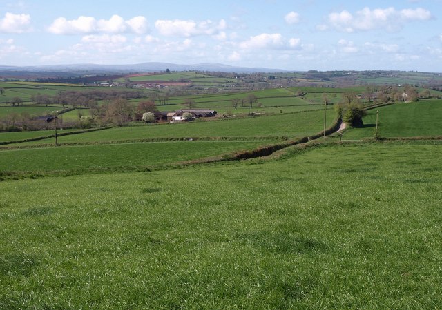
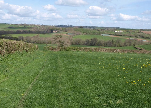
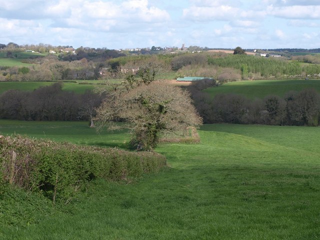
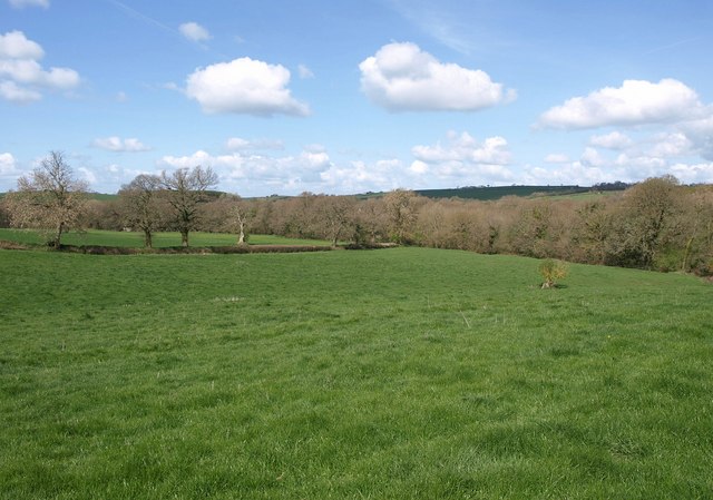
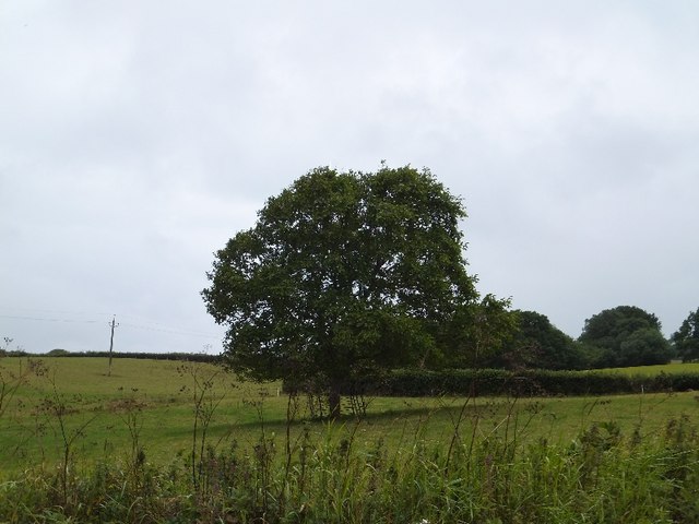
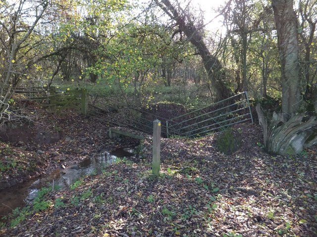
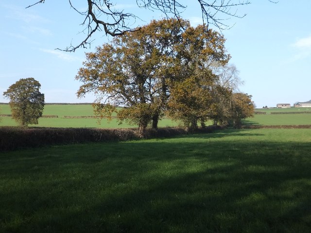
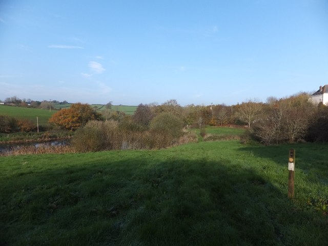
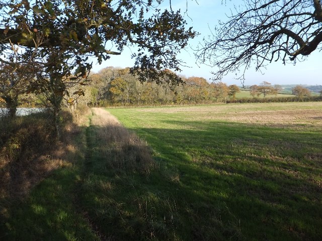
Western Moor Plantation is a sprawling woodland located in Devon, England. Situated in the heart of the county, it covers an area of approximately 500 acres, making it one of the largest plantations in the region. The plantation is known for its diverse range of trees, including oak, beech, and birch, which create a striking and picturesque landscape.
The woodland is meticulously managed by a team of dedicated arborists and conservationists, ensuring the preservation and sustainability of the plantation. The forest floor is rich in flora, with a carpet of wildflowers, ferns, and mosses, creating a vibrant and enchanting environment. This natural habitat provides a haven for a variety of wildlife, including deer, foxes, and a multitude of bird species.
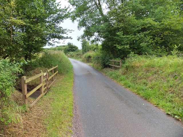
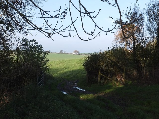
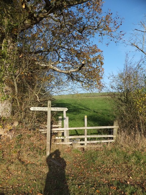
Western Moor Plantation offers numerous recreational activities for visitors to enjoy. The well-maintained walking trails wind their way through the woodland, providing opportunities for leisurely strolls and more adventurous hikes. The plantation also features picnic areas, making it an ideal spot for families and groups to relax and enjoy the peaceful surroundings.
The plantation has a long history, dating back several centuries. It was originally established as a timber source for the local community, and remnants of old sawmills and charcoal pits can still be found within the woodland. Today, the plantation continues to contribute to the local economy through sustainable timber harvesting.
Overall, Western Moor Plantation in Devon offers a tranquil and picturesque escape into nature. With its diverse range of trees, flourishing wildlife, and recreational amenities, it provides a delightful experience for nature enthusiasts and visitors of all ages.
If you have any feedback on the listing, please let us know in the comments section below.
Western Moor Plantation Images
Images are sourced within 2km of 50.820951/-3.7568119 or Grid Reference SS7603. Thanks to Geograph Open Source API. All images are credited.


Western Moor Plantation is located at Grid Ref: SS7603 (Lat: 50.820951, Lng: -3.7568119)
Administrative County: Devon
District: Mid Devon
Police Authority: Devon and Cornwall
What 3 Words
///beads.tastier.calibrate. Near Copplestone, Devon
Nearby Locations
Related Wikis
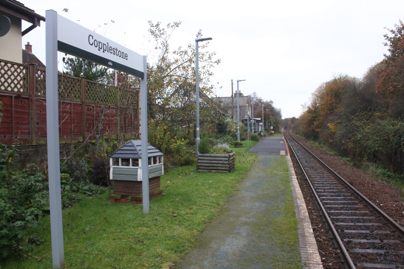
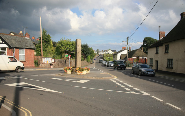
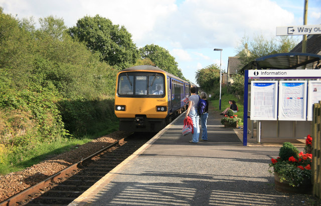
Copplestone railway station
Copplestone railway station is on the Tarka Line serving the village of Copplestone in Devon, England. It is on the Tarka Line to Barnstaple, 14 miles...

Morchard Road
Morchard Road is a small hamlet in mid Devon, UK. It has a pub, the Devonshire Dumpling. It also has a railway station on the Tarka Line. == External... ==
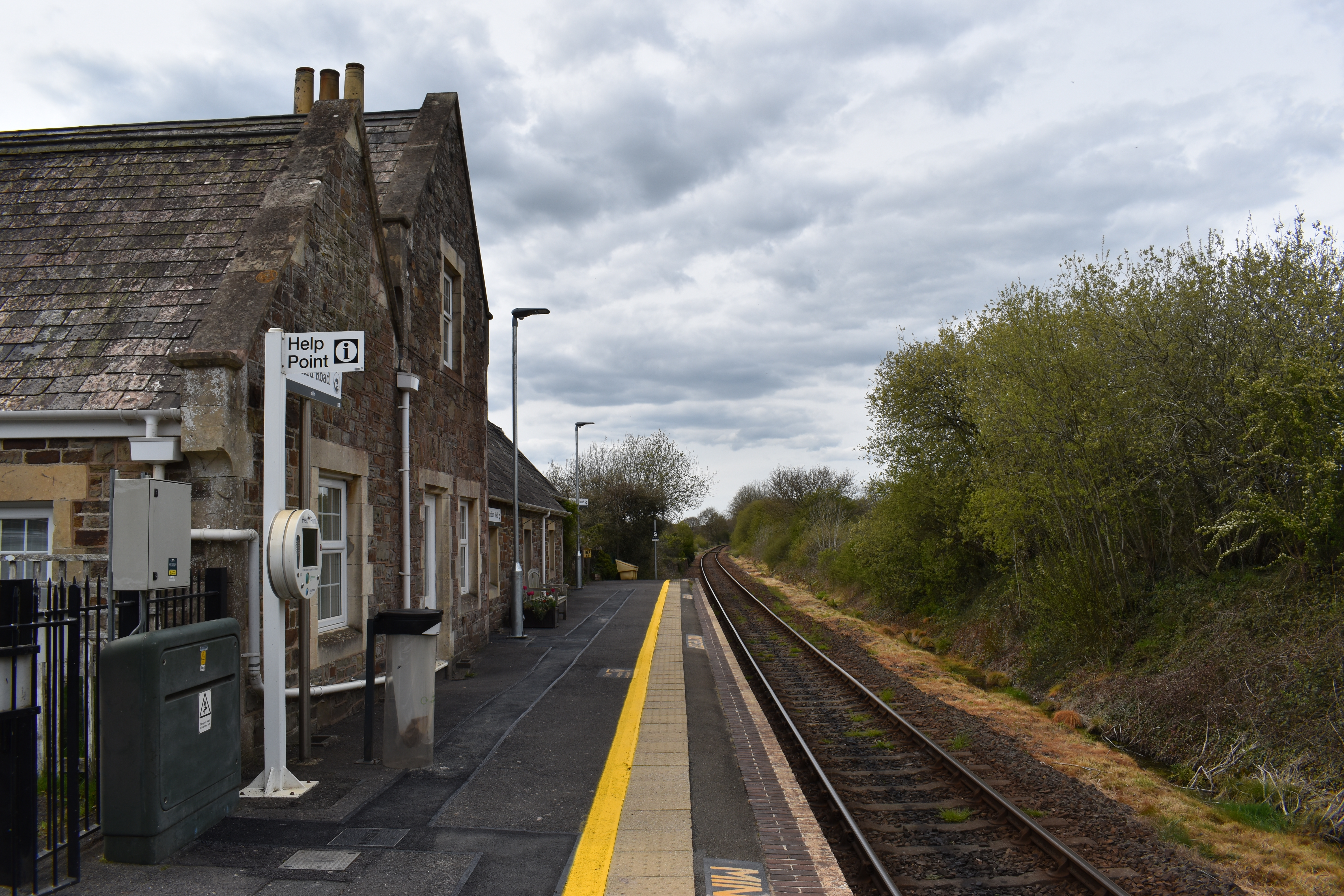
Morchard Road railway station
Morchard Road railway station is located in the village of Down St Mary in Devon, England. It is named after the village of Morchard Bishop which lies...

Down St Mary
Down St Mary is a small village, and civil parish off the A377 in Mid Devon in the English county of Devon. It has a population of 316. == References... ==
Nearby Amenities
Located within 500m of 50.820951,-3.7568119Have you been to Western Moor Plantation?
Leave your review of Western Moor Plantation below (or comments, questions and feedback).