Halshanger Wood
Wood, Forest in Devon Teignbridge
England
Halshanger Wood

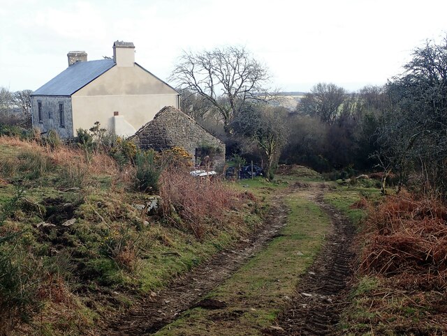
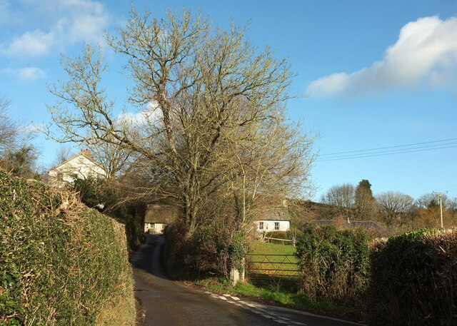
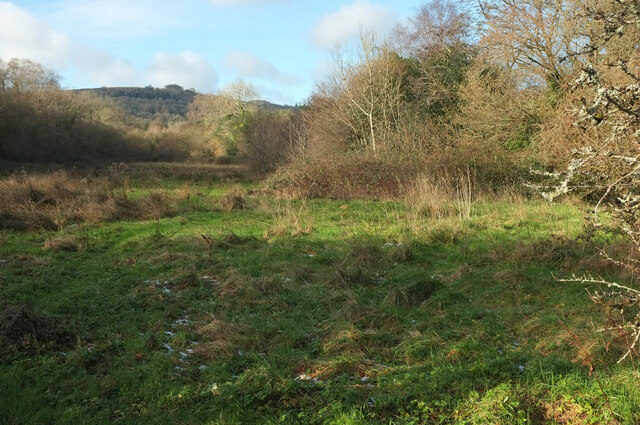
Halshanger Wood is a picturesque woodland area located in Devon, England. Covering an extensive area of land, the wood is a popular destination for nature enthusiasts and hikers. It is situated on the eastern edge of Dartmoor National Park, offering breathtaking views and a tranquil atmosphere.
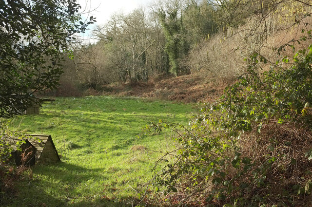
The wood is primarily composed of deciduous trees, including oak, beech, and ash, which provide a diverse habitat for various wildlife species. Visitors can expect to spot a wide range of birds, such as woodpeckers and owls, as well as mammals like deer and foxes.
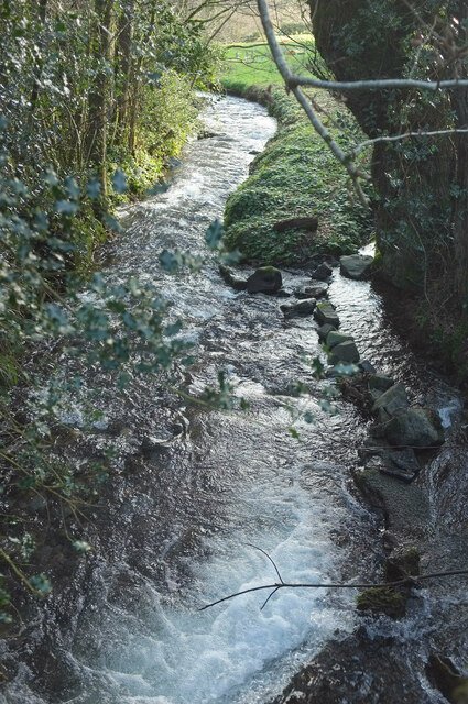
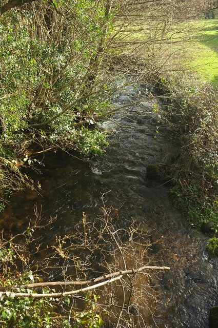
There are several walking trails throughout the wood, catering to different levels of fitness and offering varying degrees of difficulty. The paths wind through the dense foliage, providing an immersive experience in nature. Along the way, hikers may come across charming streams and small waterfalls, adding to the overall enchanting ambiance.
Halshanger Wood is well-maintained, with clear signage and helpful information boards along the trails. The wood is also equipped with picnic areas and benches, allowing visitors to take a break and appreciate the stunning surroundings.
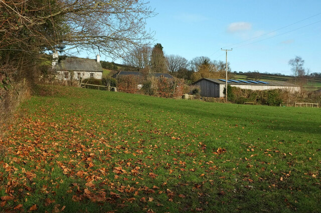
During the spring and summer months, the wood comes alive with vibrant wildflowers, creating a colorful and scenic backdrop. Autumn brings a stunning display of foliage, as the leaves change to rich hues of red, gold, and brown.
Overall, Halshanger Wood in Devon is a captivating destination for those seeking a peaceful retreat into nature. Its natural beauty, diverse wildlife, and well-maintained trails make it an ideal location for outdoor enthusiasts of all ages.
If you have any feedback on the listing, please let us know in the comments section below.
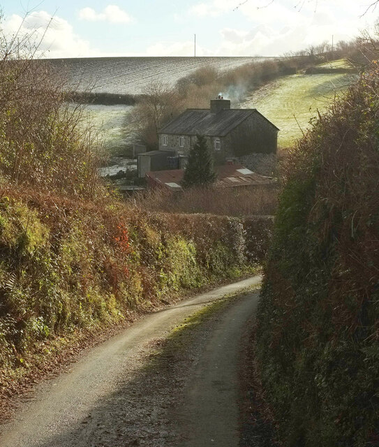
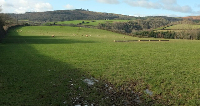
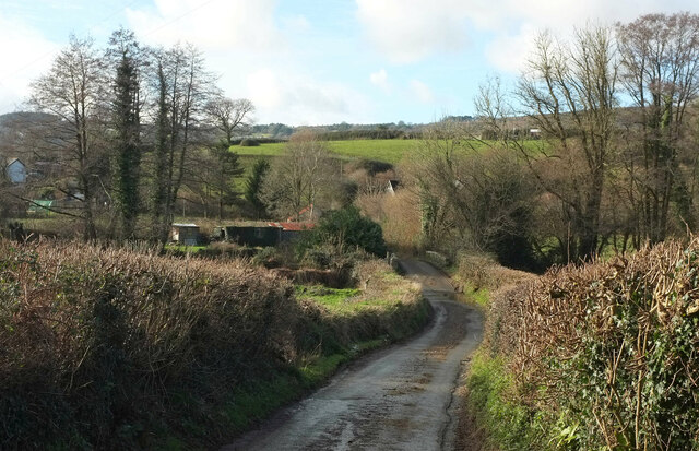
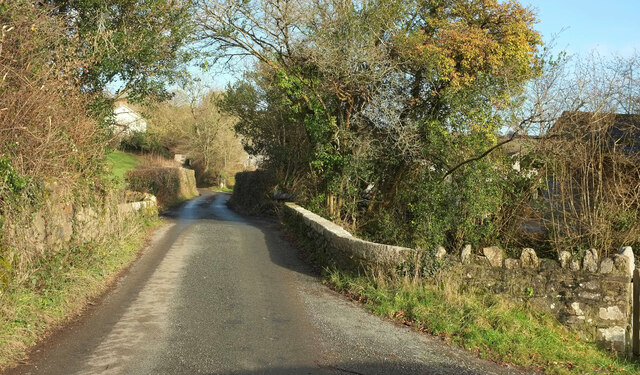
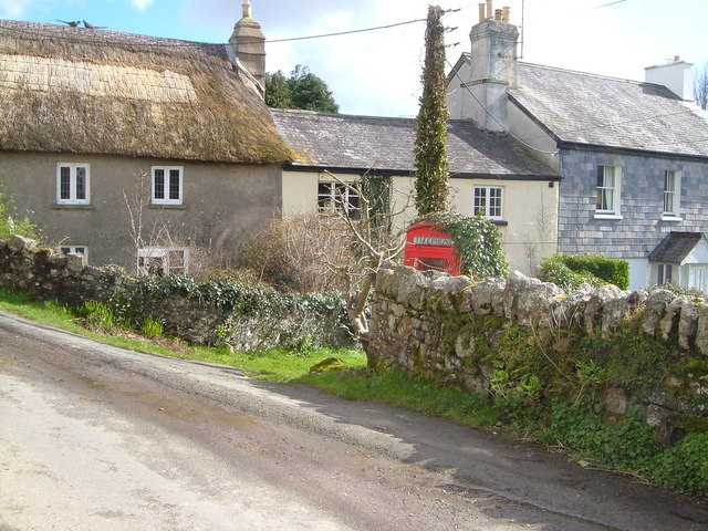
Halshanger Wood Images
Images are sourced within 2km of 50.549268/-3.7470304 or Grid Reference SX7673. Thanks to Geograph Open Source API. All images are credited.


Halshanger Wood is located at Grid Ref: SX7673 (Lat: 50.549268, Lng: -3.7470304)
Administrative County: Devon
District: Teignbridge
Police Authority: Devon and Cornwall
What 3 Words
///fells.polices.domain. Near Ashburton, Devon
Nearby Locations
Related Wikis
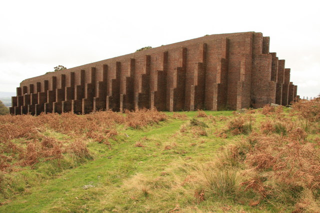
Rippon Tor Rifle Range
Rippon Tor Rifle Range is a disused rifle range from World War II on Dartmoor, Devon, England. The range is situated southeast of the 473 m high Rippon...
Sigford
Sigford is a small hamlet in the Parish of Ilsington, on the eastern edge of Dartmoor, Devon, England. It is situated at the confluence of three rivers...

River Sig
The River Sig is a 2.4 mile long river on Dartmoor in the county of Devon, England. It is a tributary to the River Lemon which it meets at Sigford. �...

Church of St Peter, Shaldon
The Church of St Peter is the Church of England parish church of the village of Shaldon, Devon. Designed by Edmund Harold Sedding, and with later additions...
Have you been to Halshanger Wood?
Leave your review of Halshanger Wood below (or comments, questions and feedback).