Parsonage Plantation

Wood, Forest in Devon North Devon

England

Parsonage Plantation

Ford near Cheldon This ford is situated on the road between Cheldon and West Worlington.
Ford near Cheldon Credit: Philip Halling

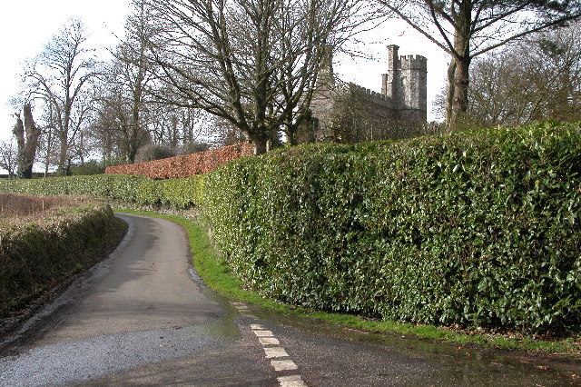
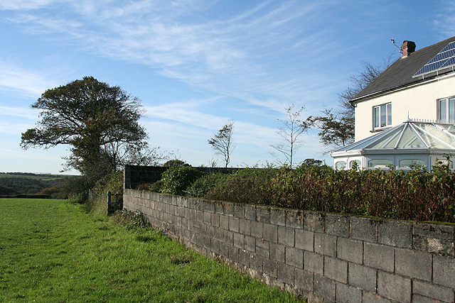
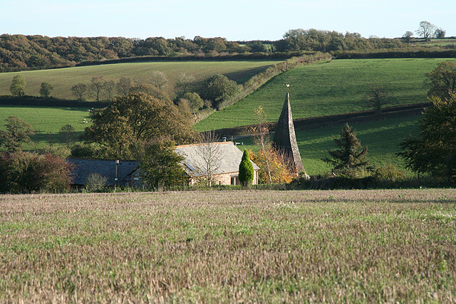
Parsonage Plantation, located in Devon, England, is a captivating woodland area that stretches across a vast expanse of approximately 100 acres. Nestled within the rolling hills and picturesque countryside, this enchanting forest offers visitors a tranquil and idyllic escape from the hustle and bustle of modern life.

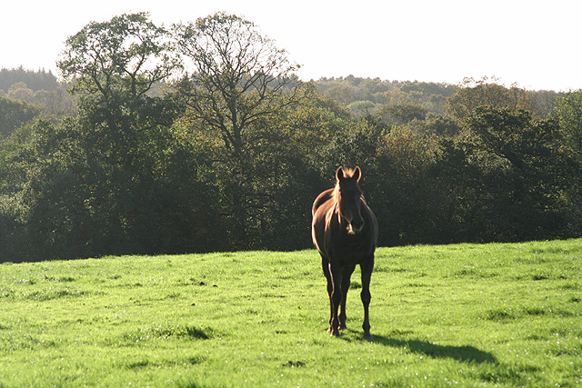
The plantation features a diverse range of tree species, including oak, beech, ash, and birch, which create a rich tapestry of colors throughout the changing seasons. The dense canopy of foliage provides a haven for a variety of wildlife, such as deer, badgers, foxes, and a myriad of bird species, making it a haven for nature enthusiasts and birdwatchers.

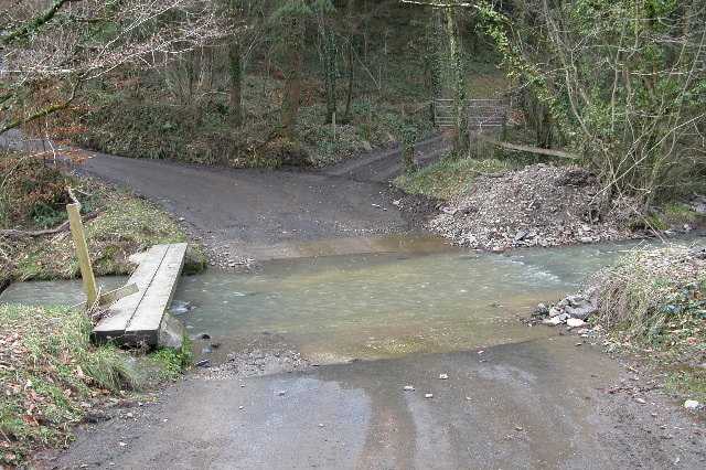
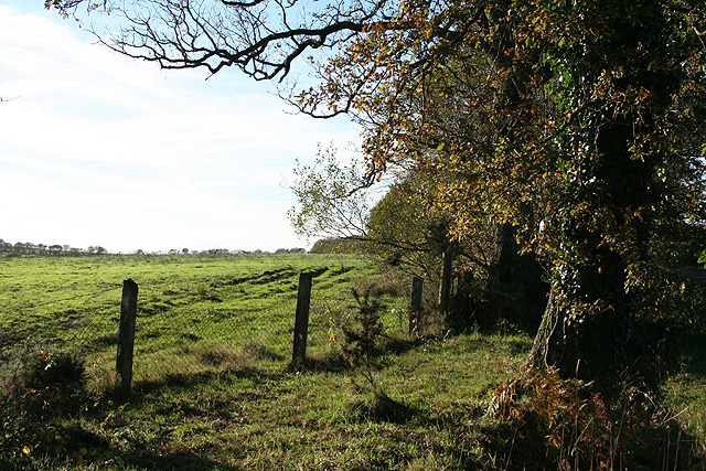
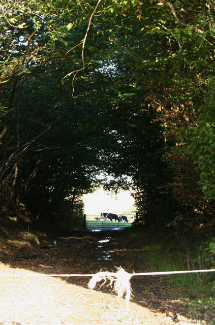
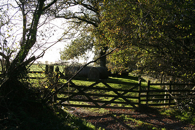
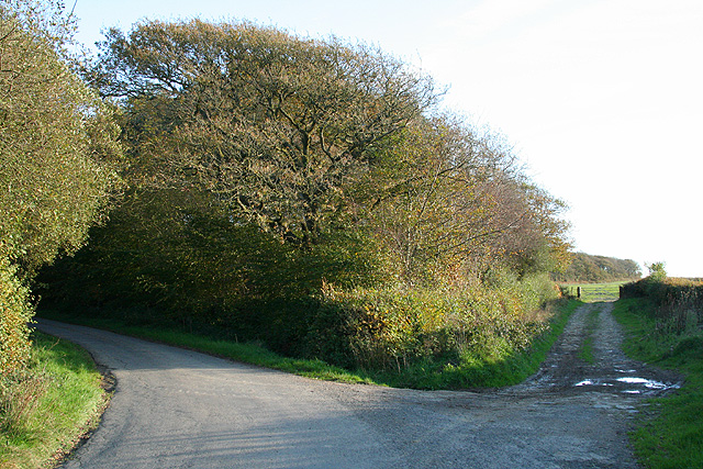
The woodland is crisscrossed by a network of well-maintained footpaths, allowing visitors to explore its hidden treasures at their leisure. As they wander through the forest, they will encounter babbling brooks, quaint wooden bridges, and peaceful ponds, adding to the sense of tranquility and natural beauty.

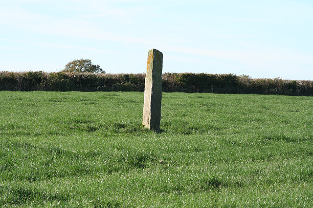
Parsonage Plantation has a rich historical significance as well. It was once part of a larger estate that belonged to a local parsonage, hence its name. The remnants of an old stone wall can still be seen, providing a glimpse into the area's past. The estate has since been converted into a public space, allowing visitors to enjoy its natural wonders.

Whether it's a leisurely stroll, a picnic amidst the trees, or simply a moment of solitude, Parsonage Plantation offers a peaceful retreat for all who venture within its bounds. With its breathtaking scenery, diverse wildlife, and historical charm, this Devon woodland is a true gem that should not be missed.

If you have any feedback on the listing, please let us know in the comments section below.

Parsonage Plantation Images

Images are sourced within 2km of 50.915568/-3.7616965 or Grid Reference SS7614. Thanks to Geograph Open Source API. All images are credited.

Ford near Cheldon This ford is situated on the road between Cheldon and West Worlington.
Ford near Cheldon
This ford is situated on the road between Cheldon and West Worlington.
Affeton Castle, Affeton Barton This castle appears to be a private home.
Affeton Castle, Affeton Barton
This castle appears to be a private home.
West Worlington church The church is dedicated to St Mary.
West Worlington church
The church is dedicated to St Mary.
Church Cottage, West Worlington This thatched cottage is unusual in that a passageway through it gives access to the church and churchyard.
Church Cottage, West Worlington
This thatched cottage is unusual in that a passageway through it gives access to the church and churchyard.
Cottage and phone box This cottage and phone box are situated on the road between West and East Worlington.
Cottage and phone box
This cottage and phone box are situated on the road between West and East Worlington.
East Worlington church St Mary the Virgin church, East Worlington.
East Worlington church
St Mary the Virgin church, East Worlington.
Lane through Drayford Drayford is a small hamlet in the Little Dart River valley. The bridge over the river can be seen in this picture.
Lane through Drayford
Drayford is a small hamlet in the Little Dart River valley. The bridge over the river can be seen in this picture.
Rull Farm, near West Worlington
East Worlington: approaching Drayford Looking south-south-east on the lane from Thornham Chapel Cross
East Worlington: approaching Drayford
Looking south-south-east on the lane from Thornham Chapel Cross
East Worlington: Thornham Chapel At Thornham Chapel Cross, with its own graveyard. Looking west-south-west
East Worlington: Thornham Chapel
At Thornham Chapel Cross, with its own graveyard. Looking west-south-west
East Worlington: Long Stone A standing stone north west from Stone Farm. Looking west-north-west
East Worlington: Long Stone
A standing stone north west from Stone Farm. Looking west-north-west
East Worlington: footpath The path runs by fields to Rackleigh. Looking west-south-west by ‘The Smithy’ – the building on the right with solar panels on the roof
East Worlington: footpath
The path runs by fields to Rackleigh. Looking west-south-west by ‘The Smithy’ – the building on the right with solar panels on the roof
East Worlington: near West Lutworthy Looking south west
East Worlington: near West Lutworthy
Looking south west
East Worlington: by Affeton Moor Cross Looking west on Affeton Moor. The signpost here has the spelling ‘Aferton’
East Worlington: by Affeton Moor Cross
Looking west on Affeton Moor. The signpost here has the spelling ‘Aferton’
East Worlington: West Worlington church spire The crooked spire of St Mary’s church, looking south-south-east. The village is clustered in the Little Dart valley
East Worlington: West Worlington church spire
The crooked spire of St Mary’s church, looking south-south-east. The village is clustered in the Little Dart valley
East Worlington: near Cuddenhay Moor A farm access track, looking east-north-east
East Worlington: near Cuddenhay Moor
A farm access track, looking east-north-east
East Worlington: by Affeton Moor On the edge of the moor, near Affeton Moor Cross. Looking west
East Worlington: by Affeton Moor
On the edge of the moor, near Affeton Moor Cross. Looking west
East Worlington: by Yelland Moor Looking south. The bridleway on the right leads to Affeton Castle and Affeton Barton. The lane, left, runs to Affeton Moor Cross
East Worlington: by Yelland Moor
Looking south. The bridleway on the right leads to Affeton Castle and Affeton Barton. The lane, left, runs to Affeton Moor Cross
Show me another place!

Parsonage Plantation is located at Grid Ref: SS7614 (Lat: 50.915568, Lng: -3.7616965)

Administrative County: Devon

District: North Devon

Police Authority: Devon and Cornwall

What 3 Words

///builds.asserts.swimsuits. Near Witheridge, Devon

Related Wikis

East Worlington

East Worlington is a civil parish and hamlet in the North Devon administrative area, in the English county of Devon, England.In 2001, the village had 241...

Affeton Castle

Affeton Castle is a converted late-medieval gatehouse near East Worlington, Devon, England. It was formerly part of the fortified manor house of Affeton...

West Worlington

West Worlington is a small village and former civil and ecclesiastical parish, now in the civil parish of East Worlington, in the North Devon district...
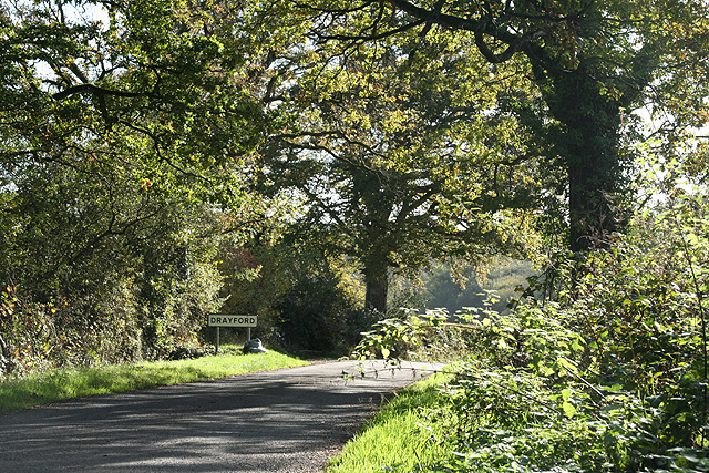
Drayford

Drayford is a village in the English county of Devon, approximately 15 miles north west of Exeter. == External links == Media related to Drayford at Wikimedia...

Have you been to Parsonage Plantation?

Leave your review of Parsonage Plantation below (or comments, questions and feedback).