Affeton Moor

Downs, Moorland in Devon North Devon

England

Affeton Moor

Ford near Cheldon This ford is situated on the road between Cheldon and West Worlington.
Ford near Cheldon Credit: Philip Halling

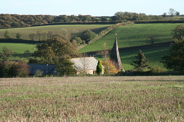
Affeton Moor is a picturesque area located in the county of Devon, England. It is situated in the northern part of the county, near the village of East Worlington. Covering an expanse of approximately 200 acres, Affeton Moor is an enchanting combination of downs and moorland.

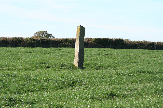
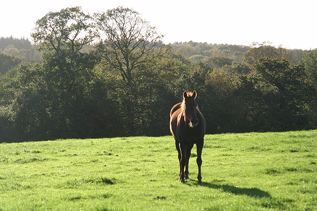
The moorland is characterized by its unique landscape, featuring vast open spaces, rolling hills, and heath-covered plains. The area is adorned with various types of grasses, heather, and gorse, which provide a vibrant display of colors throughout the year. The moorland is also home to a diverse range of wildlife, including birds such as the skylark and stonechat, as well as small mammals like rabbits and voles.

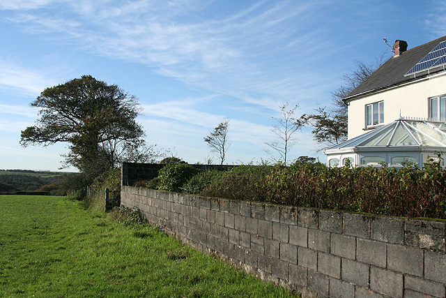
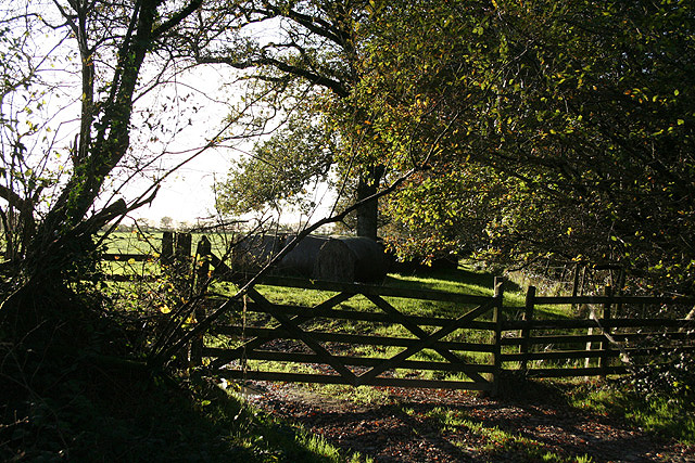
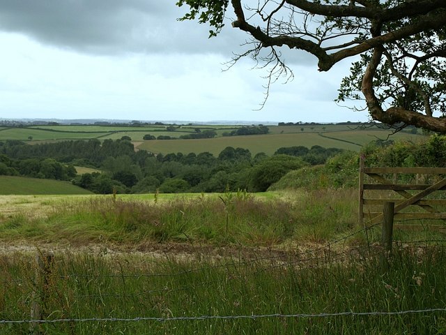
The downs of Affeton Moor offer breathtaking panoramic views of the surrounding countryside. From the higher points, visitors can enjoy vistas of the nearby Exmoor National Park and Dartmoor National Park. The downs are covered in a patchwork of fields, hedgerows, and woodlands, adding to the charm of the area.

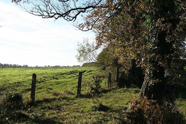
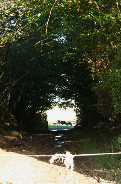
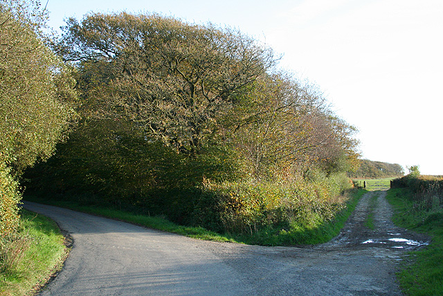
Affeton Moor attracts outdoor enthusiasts who enjoy activities such as hiking, birdwatching, and photography. There are several walking trails that crisscross the moor, allowing visitors to explore its beauty at their own pace. The area is also popular with nature lovers, as it provides a tranquil and peaceful setting to observe and appreciate the local flora and fauna.

Overall, Affeton Moor is a captivating destination in Devon, offering a unique blend of moorland and downs, stunning vistas, and abundant wildlife. It is a place where visitors can immerse themselves in nature and find solace in its serenity.

If you have any feedback on the listing, please let us know in the comments section below.
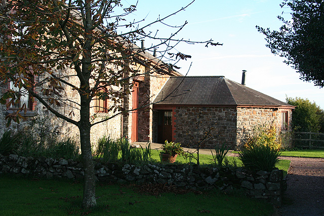
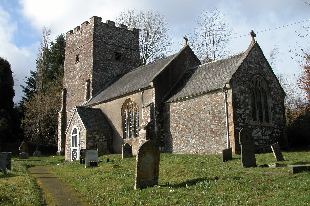
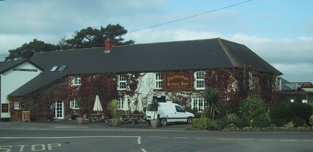
Affeton Moor Images

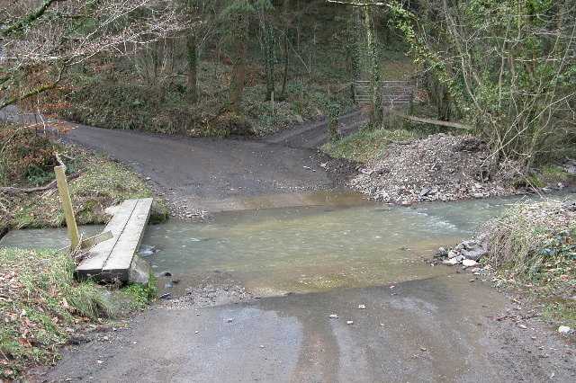
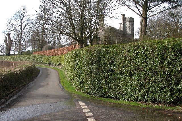
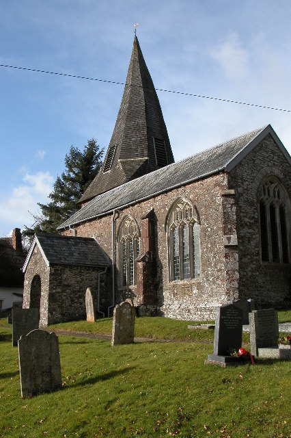
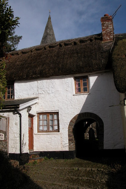
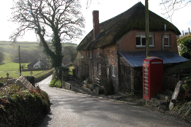
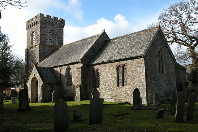
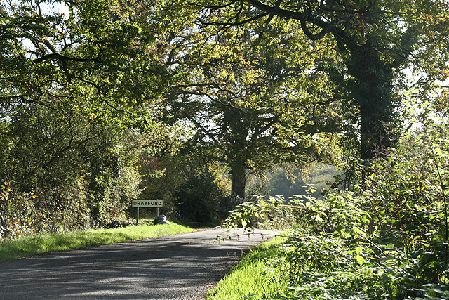
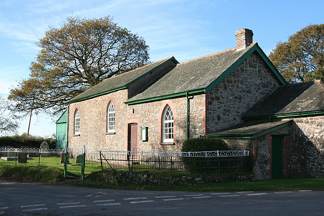
Images are sourced within 2km of 50.919516/-3.7635103 or Grid Reference SS7614. Thanks to Geograph Open Source API. All images are credited.

Ford near Cheldon This ford is situated on the road between Cheldon and West Worlington.
Ford near Cheldon
This ford is situated on the road between Cheldon and West Worlington.
Affeton Castle, Affeton Barton This castle appears to be a private home.
Affeton Castle, Affeton Barton
This castle appears to be a private home.
West Worlington church The church is dedicated to St Mary.
West Worlington church
The church is dedicated to St Mary.
Church Cottage, West Worlington This thatched cottage is unusual in that a passageway through it gives access to the church and churchyard.
Church Cottage, West Worlington
This thatched cottage is unusual in that a passageway through it gives access to the church and churchyard.
Cottage and phone box This cottage and phone box are situated on the road between West and East Worlington.
Cottage and phone box
This cottage and phone box are situated on the road between West and East Worlington.
East Worlington church St Mary the Virgin church, East Worlington.
East Worlington church
St Mary the Virgin church, East Worlington.
East Worlington: approaching Drayford Looking south-south-east on the lane from Thornham Chapel Cross
East Worlington: approaching Drayford
Looking south-south-east on the lane from Thornham Chapel Cross
East Worlington: Thornham Chapel At Thornham Chapel Cross, with its own graveyard. Looking west-south-west
East Worlington: Thornham Chapel
At Thornham Chapel Cross, with its own graveyard. Looking west-south-west
East Worlington: Long Stone A standing stone north west from Stone Farm. Looking west-north-west
East Worlington: Long Stone
A standing stone north west from Stone Farm. Looking west-north-west
East Worlington: footpath The path runs by fields to Rackleigh. Looking west-south-west by ‘The Smithy’ – the building on the right with solar panels on the roof
East Worlington: footpath
The path runs by fields to Rackleigh. Looking west-south-west by ‘The Smithy’ – the building on the right with solar panels on the roof
East Worlington: near West Lutworthy Looking south west
East Worlington: near West Lutworthy
Looking south west
East Worlington: by Affeton Moor Cross Looking west on Affeton Moor. The signpost here has the spelling ‘Aferton’
East Worlington: by Affeton Moor Cross
Looking west on Affeton Moor. The signpost here has the spelling ‘Aferton’
East Worlington: West Worlington church spire The crooked spire of St Mary’s church, looking south-south-east. The village is clustered in the Little Dart valley
East Worlington: West Worlington church spire
The crooked spire of St Mary’s church, looking south-south-east. The village is clustered in the Little Dart valley
East Worlington: near Cuddenhay Moor A farm access track, looking east-north-east
East Worlington: near Cuddenhay Moor
A farm access track, looking east-north-east
East Worlington: by Affeton Moor On the edge of the moor, near Affeton Moor Cross. Looking west
East Worlington: by Affeton Moor
On the edge of the moor, near Affeton Moor Cross. Looking west
East Worlington: by Yelland Moor Looking south. The bridleway on the right leads to Affeton Castle and Affeton Barton. The lane, left, runs to Affeton Moor Cross
East Worlington: by Yelland Moor
Looking south. The bridleway on the right leads to Affeton Castle and Affeton Barton. The lane, left, runs to Affeton Moor Cross
East Worlington: Bealy Court Farm buildings here have been converted to holiday cottages. Looking south-south-east to a barn and its single storey horse-engine house or roundhouse. Which suggests that the building on the left was probably a threshing barn at one time. Both buildings are now residential
East Worlington: Bealy Court
Farm buildings here have been converted to holiday cottages. Looking south-south-east to a barn and its single storey horse-engine house or roundhouse. Which suggests that the building on the left was probably a threshing barn at one time. Both buildings are now residential
Field north of Affeton Looking WSW from East Worlington Bridleway 10 as it runs up a broad ridge north of the Little Dart valley. The field slopes away towards a tributary valley running through the Affeton estate, and, in this view, in SS7414. The overhanging tree marks the beginning (to the right) of a stretch of the bridleway bordered by an old row of beeches.
Field north of Affeton
Looking WSW from East Worlington Bridleway 10 as it runs up a broad ridge north of the Little Dart valley. The field slopes away towards a tributary valley running through the Affeton estate, and, in this view, in SS7414. The overhanging tree marks the beginning (to the right) of a stretch of the bridleway bordered by an old row of beeches.
Show me another place!

Affeton Moor is located at Grid Ref: SS7614 (Lat: 50.919516, Lng: -3.7635103)

Administrative County: Devon

District: North Devon

Police Authority: Devon and Cornwall

What 3 Words

///smirking.talent.mentioned. Near Witheridge, Devon

Related Wikis

Have you been to Affeton Moor?

Leave your review of Affeton Moor below (or comments, questions and feedback).