Church End

Settlement in Lincolnshire South Holland

England

Church End

Earthworks on site in Quadring Eaudike: (1)
Earthworks on site in Quadring Eaudike: (1) Credit: Simon Tomson

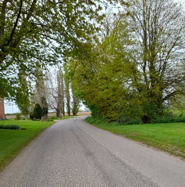
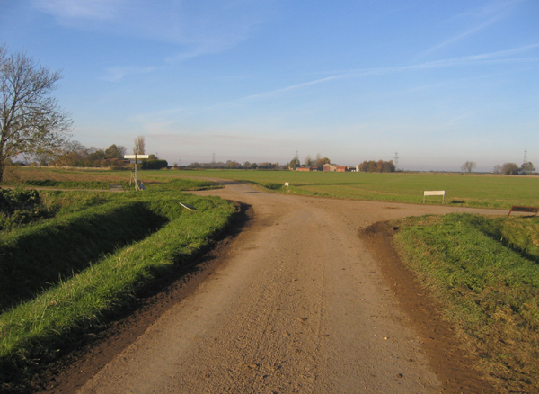
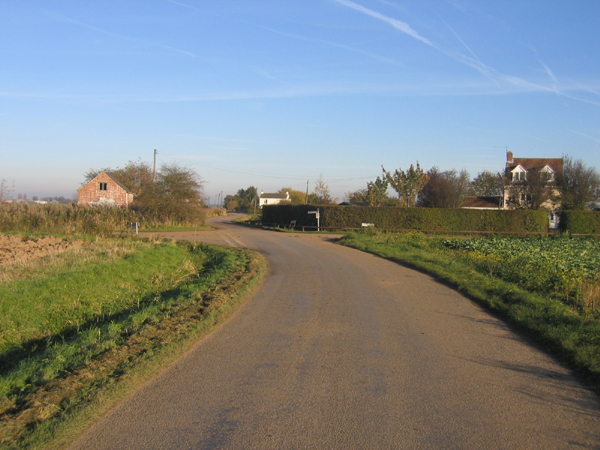
Church End is a small village located in the county of Lincolnshire, England. Situated approximately 6 miles southeast of the market town of Boston, it is nestled amidst the picturesque Lincolnshire Fens. With a population of around 250 people, Church End offers a tranquil and close-knit community atmosphere.

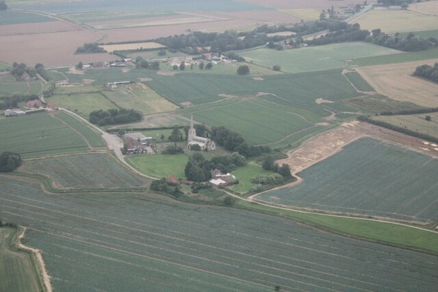
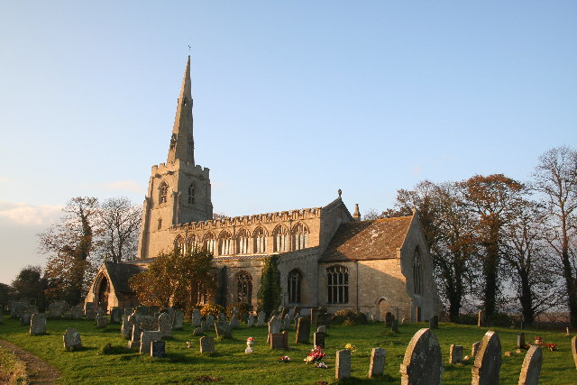
The village derives its name from the prominent St. Peter's Church, which stands at its heart. This beautiful medieval church, built in the 14th century, serves as a historic and architectural landmark, drawing visitors from both near and far. Its elegant spire can be seen from miles around, adding to the village's charm.

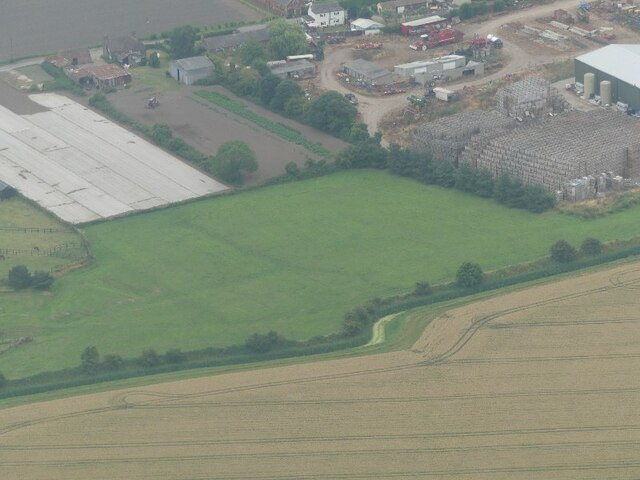
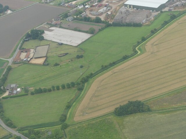
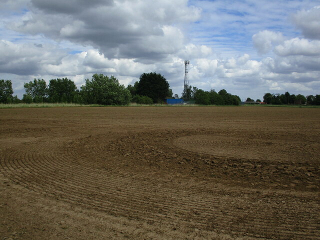
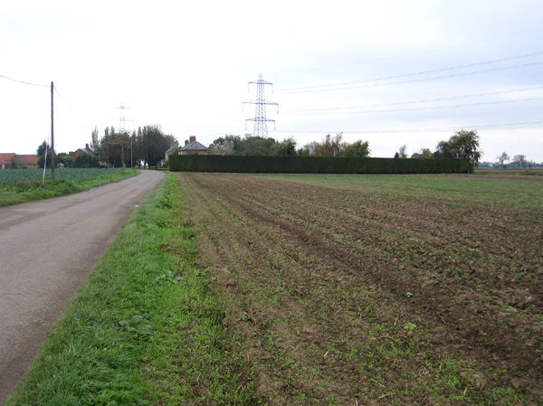
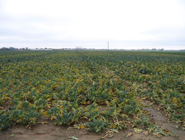
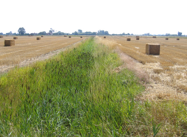
The surrounding countryside is predominantly characterized by vast expanses of flat agricultural land, where farmers cultivate crops such as wheat, barley, and potatoes. The fertile soil of the Fens is ideal for agricultural activities, and farming has been the backbone of the local economy for centuries.

Despite its small size, Church End boasts a strong sense of community spirit. Residents actively participate in various social events and initiatives, such as the annual summer fete, which brings together villagers and visitors for a day of games, stalls, and local produce. Additionally, the village has a well-maintained village hall that serves as a hub for community gatherings and activities.

Overall, Church End offers a peaceful retreat from the hustle and bustle of urban life, with its idyllic countryside setting, historic church, and tight-knit community.

If you have any feedback on the listing, please let us know in the comments section below.
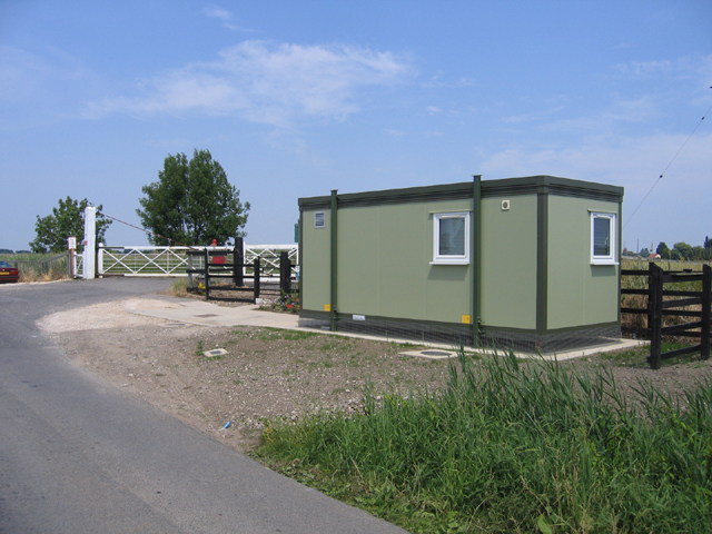
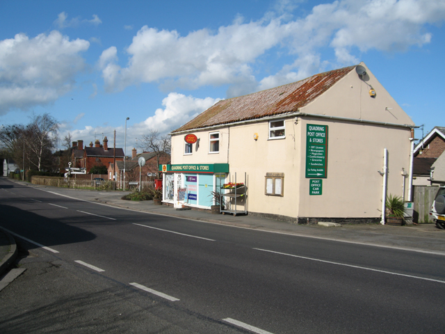
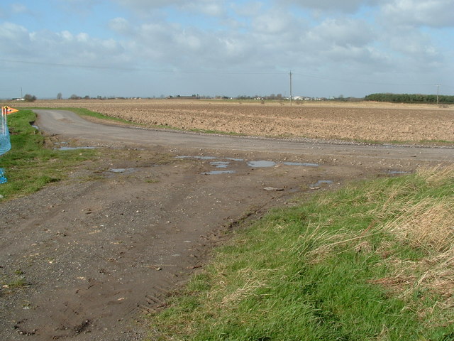
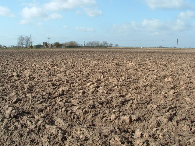
Church End Images

Images are sourced within 2km of 52.889775/-0.178603 or Grid Reference TF2234. Thanks to Geograph Open Source API. All images are credited.

Earthworks on site in Quadring Eaudike: (1)
Earthworks on site in Quadring Eaudike: (2)
Church End, Quadring: aerial 2021
Rushy Drove
Rushy Drove
Prepared field and communications mast near Quadring
Bull's Bank, Donington South Ing
Church End Drove crossing the Spalding to Sleaford line One of six level crossings in just over a mile of track!
Church End Drove crossing the Spalding to Sleaford line
One of six level crossings in just over a mile of track!
Quadring: Water Gate
St.Margaret's church, Quadring, Lincs. One of the many grand Perpendicular churches in this part of Lincolnshire. St.Margaret's stands some distance north of the village of Quadring.
St.Margaret's church, Quadring, Lincs.
One of the many grand Perpendicular churches in this part of Lincolnshire. St.Margaret's stands some distance north of the village of Quadring.
Rushy Drove, Quadring Eaudike, Lincs View N towards Pond Farm along the sea bank of the former tidal inlet, Bicker Haven (on the right).
Rushy Drove, Quadring Eaudike, Lincs
View N towards Pond Farm along the sea bank of the former tidal inlet, Bicker Haven (on the right).
Large field of broccoli, Quadring Eaudike, Lincs Appearing at a supermarket near you soon.
Large field of broccoli, Quadring Eaudike, Lincs
Appearing at a supermarket near you soon.
Crossroads, Quadring, Lincs View N across the square where Green Lane meets Cranepit Road (right) east of Quadring Church End.
Crossroads, Quadring, Lincs
View N across the square where Green Lane meets Cranepit Road (right) east of Quadring Church End.
Judy Cross crossroads, Quadring, Lincs View E along Water Gate towards Green Lane and Mill House.
Judy Cross crossroads, Quadring, Lincs
View E along Water Gate towards Green Lane and Mill House.
Reedy drain from Bull's Bank, Donington South Ing, Lincs
Golden High Hedges level crossing, Donington South Ing, Lincs The Spalding–Sleaford line crosses Cowdale's Drove at its junction with Bull's Bank.
Golden High Hedges level crossing, Donington South Ing, Lincs
The Spalding–Sleaford line crosses Cowdale's Drove at its junction with Bull's Bank.
Post Office, Quadring, Lincs – view N across Main Road towards the junction with Watergate.
Post Office, Quadring, Lincs
– view N across Main Road towards the junction with Watergate.
South Ing Road This corner of the road is where a small track joins it from the East, known locally as "Scotch Street" it was once a droving road that avoided a nearby Turnpike and Donington village.
South Ing Road
This corner of the road is where a small track joins it from the East, known locally as "Scotch Street" it was once a droving road that avoided a nearby Turnpike and Donington village.
Ploughed now weathering Waiting for the soil to warm before the spring planting to begin
Ploughed now weathering
Waiting for the soil to warm before the spring planting to begin
Show me another place!

Church End is located at Grid Ref: TF2234 (Lat: 52.889775, Lng: -0.178603)

Division: Parts of Holland

Administrative County: Lincolnshire

District: South Holland

Police Authority: Lincolnshire

What 3 Words

///fruits.also.smirking. Near Donington, Lincolnshire

Nearby Locations

Church End

Related Wikis

Quadring

Quadring is a small village and civil parish in the South Holland district of Lincolnshire. It lies on the A152, 2 miles (3.2 km) north-east of Gosberton...

A152 road

The A152 is a small non-primary A-road in Lincolnshire, from Donington to Surfleet linking the A52 and the A16, two major primary routes. Between Donington...

Quadring Eaudike

Quadring Eaudike is a hamlet in the South Holland district of Lincolnshire, England. It lies approximately 1 mile (2 km) east from the A152 road, and 2...

Donington, Lincolnshire

Donington is a village and civil parish in the South Holland district of Lincolnshire, England. It is 8 miles (13 km) north from the market town of Spalding...

Nearby Amenities

Located within 500m of 52.889775,-0.178603
Church End Farm
Place: farm
Source: Bing
Lat/Long: 52.8899732/-0.1801905
Church End
Place: hamlet
Source: Bing
Lat/Long: 52.8896821/-0.1817973
Church End House
Place: isolated_dwelling
Source: Bing
Lat/Long: 52.8911879/-0.173297
Ostlers Cottage
Place: isolated_dwelling
Source: Bing
Lat/Long: 52.889821/-0.1858157
The data included in this document is from www.openstreetmap.org. The data is made available under ODbL.

Have you been to Church End?

Leave your review of Church End below (or comments, questions and feedback).