Church End
Settlement in Bedfordshire
England
Church End

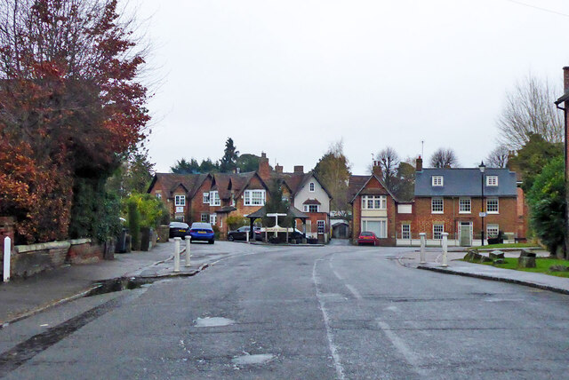
Church End is a small village located in the county of Bedfordshire, England. It is situated approximately 7 miles to the south-east of Bedford, the county town. With a population of around 500 residents, Church End is a close-knit community known for its peaceful and rural atmosphere.
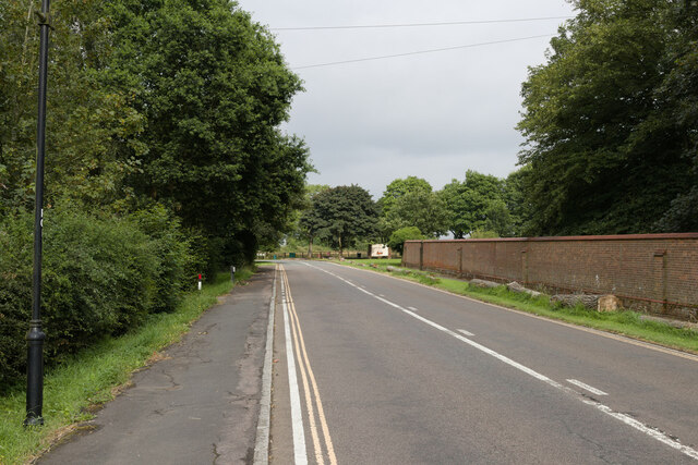
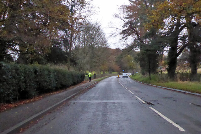
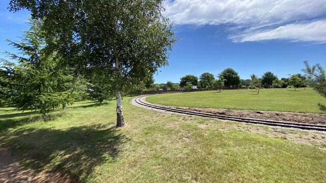
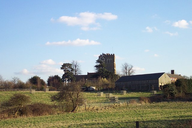
The village is characterized by picturesque countryside landscapes, with rolling hills, green fields, and charming cottages. The centerpiece of Church End is its historic church, St. Mary's Church, which dates back to the 13th century. This beautiful and well-preserved building showcases stunning architecture and features a tower that offers panoramic views of the surrounding area.
In terms of amenities, Church End offers limited facilities, reflecting its small size and rural nature. There is a village hall that serves as a hub for community events and gatherings. Additionally, there is a local pub that provides a cozy atmosphere for residents and visitors to enjoy traditional British cuisine and beverages.
The village is surrounded by an abundance of natural beauty, making it a popular destination for outdoor enthusiasts. The nearby countryside offers opportunities for scenic walks, cycling, and horse riding. In addition, the River Great Ouse flows through the area, providing opportunities for fishing and boating.
Overall, Church End, Bedfordshire is a tranquil and idyllic village that appeals to those seeking a peaceful, rural lifestyle. Its rich history, charming architecture, and stunning natural surroundings make it a delightful place to visit or call home.
If you have any feedback on the listing, please let us know in the comments section below.
Church End Images
Images are sourced within 2km of 52.014729/-0.610879 or Grid Reference SP9536. Thanks to Geograph Open Source API. All images are credited.


Church End is located at Grid Ref: SP9536 (Lat: 52.014729, Lng: -0.610879)
Unitary Authority: Central Bedfordshire
Police Authority: Bedfordshire
What 3 Words
///bypasses.wiped.spends. Near Husborne Crawley, Bedfordshire
Nearby Locations
Related Wikis
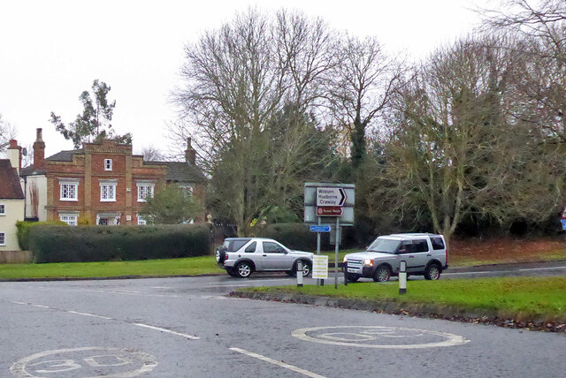
Husborne Crawley
Husborne Crawley is a small village and civil parish in Bedfordshire, England, located close to Junction 13 of the M1 motorway. The village touches the...

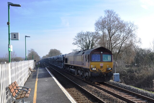
Marston Vale line
The Marston Vale line is the line between Bletchley and Bedford in England, a surviving remnant of the former Varsity line between Oxford and Cambridge...

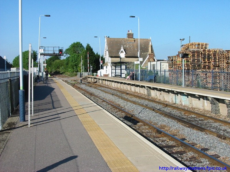
Husborne Crawley railway station
Husborne Crawley railway station served the village of Husborne Crawley, Bedfordshire, England from 1905 to 1941 on the Varsity line. == History == The...
Aspley House
Aspley House is a Grade II* listed 17th-century country house near Aspley Guise in Bedfordshire, England. == References ==

Aspley Guise
Aspley Guise is a village and civil parish in the west of Central Bedfordshire, England. In addition to the village of Aspley Guise itself, the civil parish...

Aspley Guise railway station
Aspley Guise railway station serves the village of Aspley Guise in Bedfordshire, England. It is on the Bletchley – Bedford Marston Vale Line. The station...
Ridgmont railway station
Ridgmont railway station is a small unstaffed railway station that serves the village of Ridgmont in Bedfordshire. The station is about 1 mile (2 km) away...
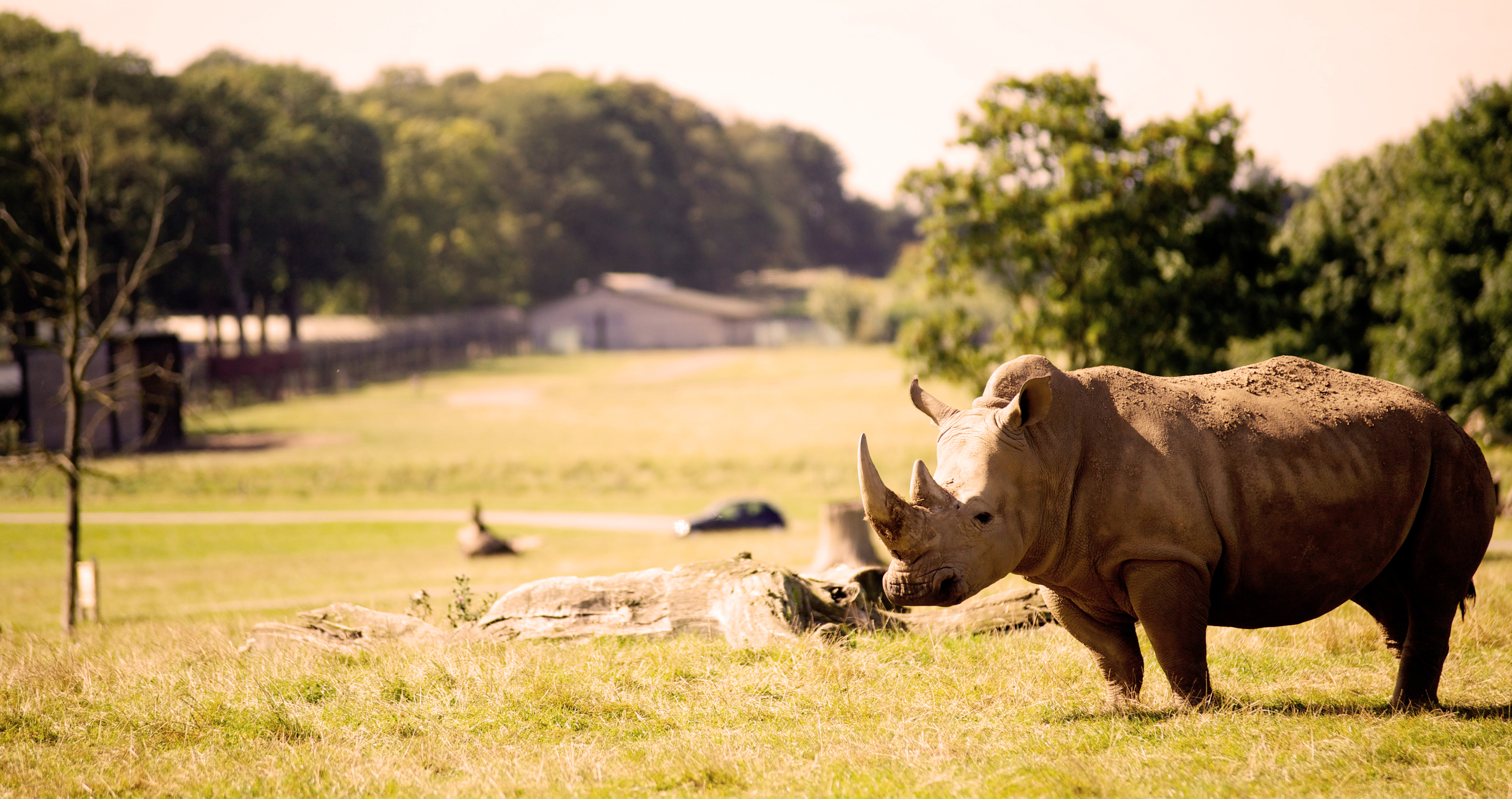
Woburn Safari Park
Woburn Safari Park is a safari park located in Woburn, Bedfordshire, England. Visitors to the park can drive through exhibits, which contain species such...
Nearby Amenities
Located within 500m of 52.014729,-0.610879Have you been to Church End?
Leave your review of Church End below (or comments, questions and feedback).