Wester Moor Plantation
Wood, Forest in Devon North Devon
England
Wester Moor Plantation
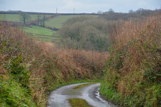
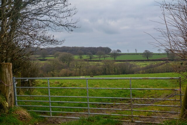
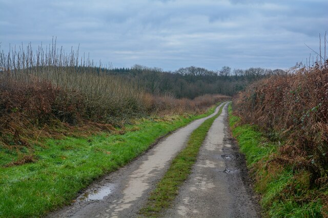
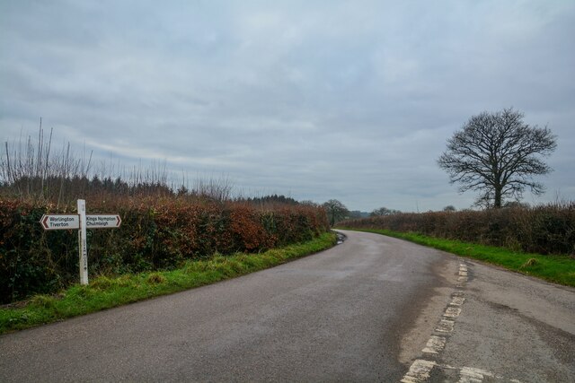
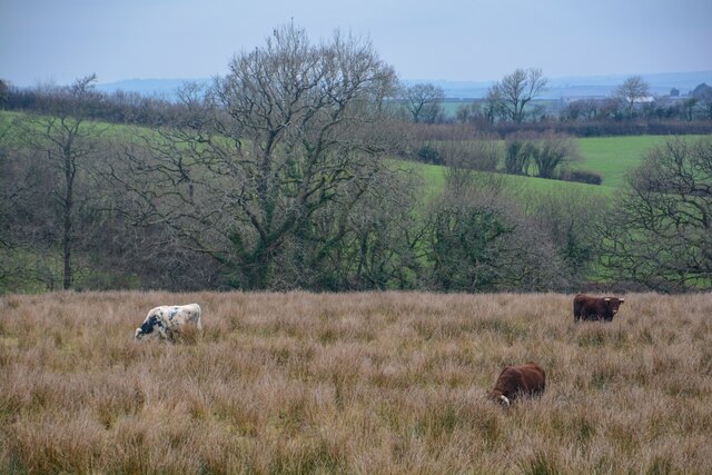
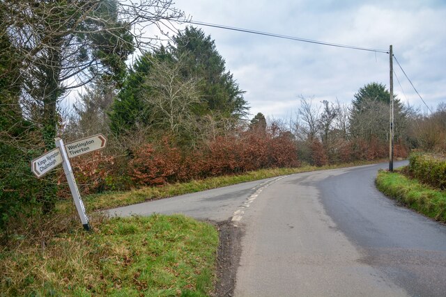
Wester Moor Plantation is a sprawling woodland located in Devon, England. Covering an area of approximately 500 acres, it is one of the largest plantations in the region. The plantation is situated in the heart of the picturesque Devon countryside, surrounded by rolling hills and meandering streams.
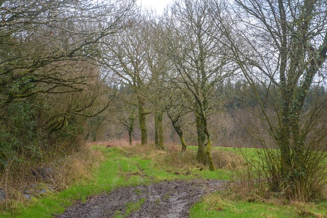
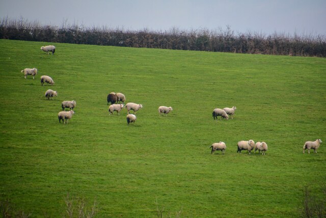
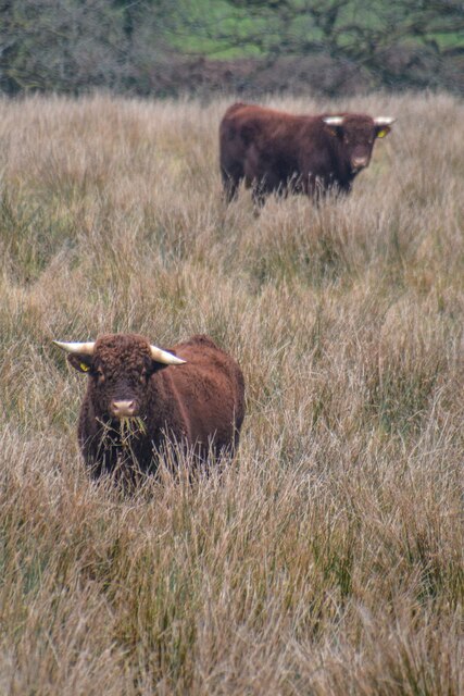
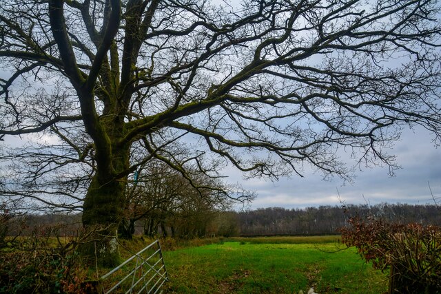
The woodland predominantly consists of native broadleaf trees, including oak, beech, and ash. These trees create a dense canopy, providing a habitat for a wide variety of wildlife. It is not uncommon to spot deer, foxes, and various bird species within the plantation.
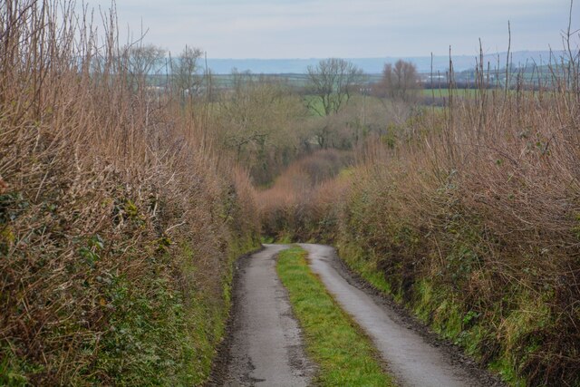
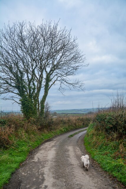
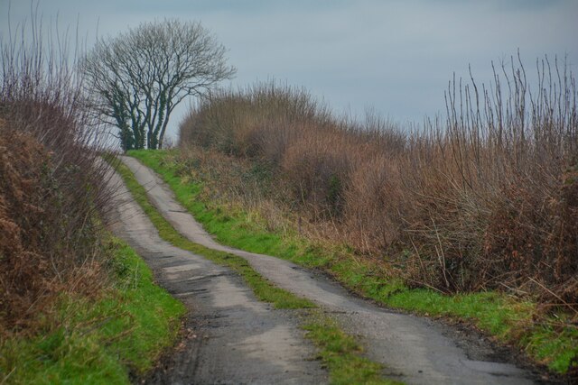
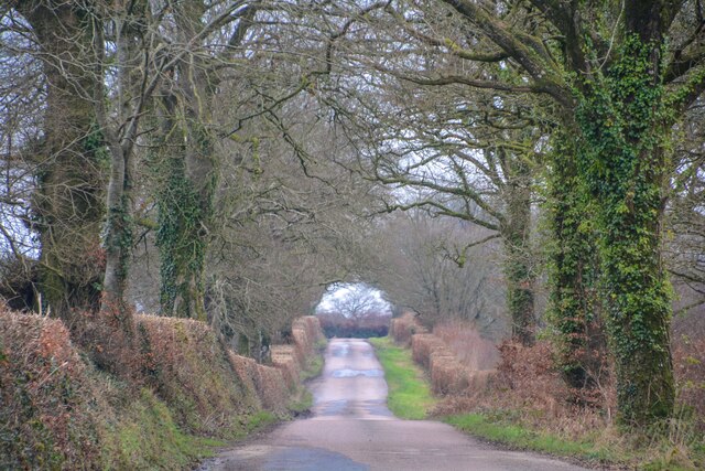
Wester Moor Plantation is a popular destination for outdoor enthusiasts and nature lovers. The plantation offers a network of well-maintained walking trails, allowing visitors to explore the beauty of the woodland at their own pace. These trails wind through the trees, offering breathtaking views of the surrounding countryside.
In addition to its natural beauty, the plantation also serves as an important site for conservation efforts. The woodland is managed sustainably, with a focus on maintaining biodiversity and preserving the ecosystem. Conservation projects, such as tree planting and habitat restoration, are regularly undertaken to ensure the long-term health of the plantation.
Wester Moor Plantation is open to the public throughout the year, with free admission. Visitors can enjoy picnicking, wildlife watching, and photography, as well as participate in educational programs and guided tours. The plantation provides a serene and tranquil environment for individuals seeking to connect with nature and escape the hustle and bustle of everyday life.
If you have any feedback on the listing, please let us know in the comments section below.
Wester Moor Plantation Images
Images are sourced within 2km of 50.944063/-3.7815213 or Grid Reference SS7417. Thanks to Geograph Open Source API. All images are credited.

Wester Moor Plantation is located at Grid Ref: SS7417 (Lat: 50.944063, Lng: -3.7815213)
Administrative County: Devon
District: North Devon
Police Authority: Devon and Cornwall
What 3 Words
///hinders.dozens.narrates. Near Witheridge, Devon
Related Wikis

Week, Devon
Week is a small village in the civil parish of Chulmleigh, in the North Devon district of Devon, England. Its nearest town is Chulmleigh, which lies approximately...
Meshaw
Meshaw is a village and civil parish in the North Devon district of Devon, England. Its nearest town is South Molton, which lies approximately 5.9 miles...

Romansleigh
Romansleigh is a village and civil parish in the North Devon district of Devon, England. It is surrounded clockwise from the north by the parishes of Mariansleigh...

East Worlington
East Worlington is a civil parish and hamlet in the North Devon administrative area, in the English county of Devon, England.In 2001, the village had 241...
Have you been to Wester Moor Plantation?
Leave your review of Wester Moor Plantation below (or comments, questions and feedback).