North Week Bottoms

Valley in Devon North Devon

England

North Week Bottoms

Romansleigh : Country Lane Looking along the lane.
Romansleigh : Country Lane Credit: Lewis Clarke

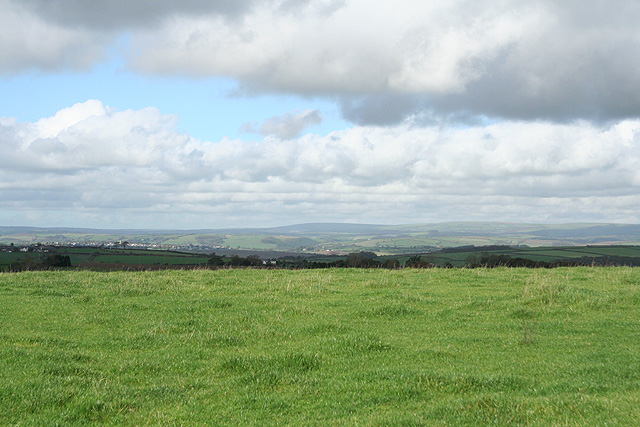
North Week Bottoms, Devon (Valley), is a picturesque rural area located in the county of Devon, England. Situated in the southwestern part of the country, it covers a sprawling expanse of rolling hills and meandering valleys, offering stunning panoramic views of the surrounding countryside.

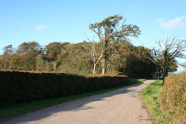
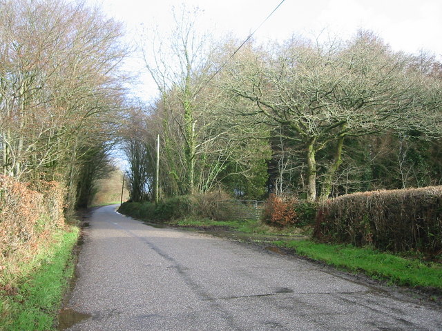
The region is known for its natural beauty, with its lush green meadows, dense woodlands, and meandering streams. It is a haven for wildlife enthusiasts, as it is home to a diverse range of flora and fauna. Visitors can spot various bird species, such as pheasants, owls, and woodpeckers, as well as small mammals like rabbits and squirrels.

North Week Bottoms is also renowned for its tranquil and idyllic atmosphere, making it a popular destination for those seeking a peaceful retreat away from the hustle and bustle of city life. The area offers a plethora of walking and hiking trails, allowing visitors to immerse themselves in nature and explore the scenic landscapes.

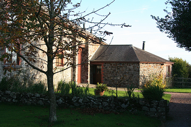
The nearby towns and villages provide a glimpse into the region's rich history and culture. Charming stone cottages, historic churches, and quaint local shops dot the area, adding to its charm and appeal. Additionally, the local community is known for its warmth and hospitality, making visitors feel welcome and embraced.

Overall, North Week Bottoms, Devon (Valley), with its stunning natural beauty, tranquil ambiance, and rich history, is a must-visit destination for nature lovers and those seeking a serene escape in the heart of the English countryside.

If you have any feedback on the listing, please let us know in the comments section below.

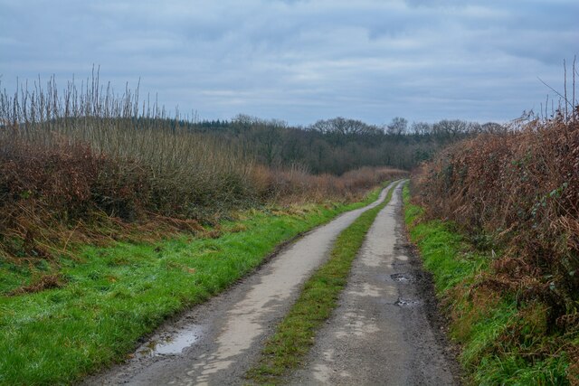
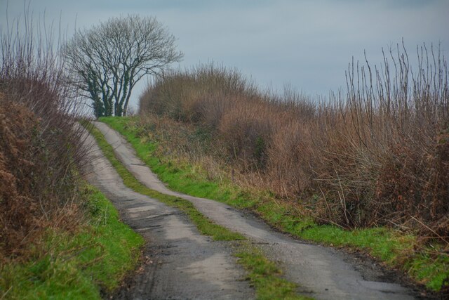
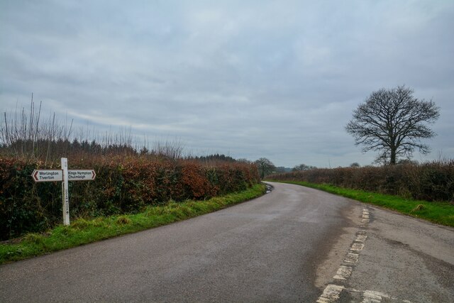
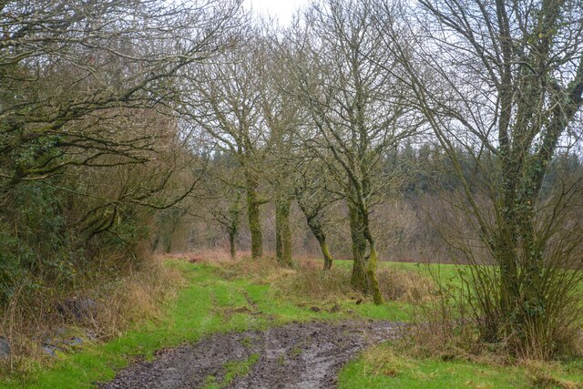
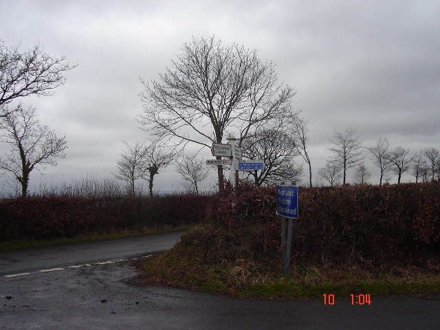
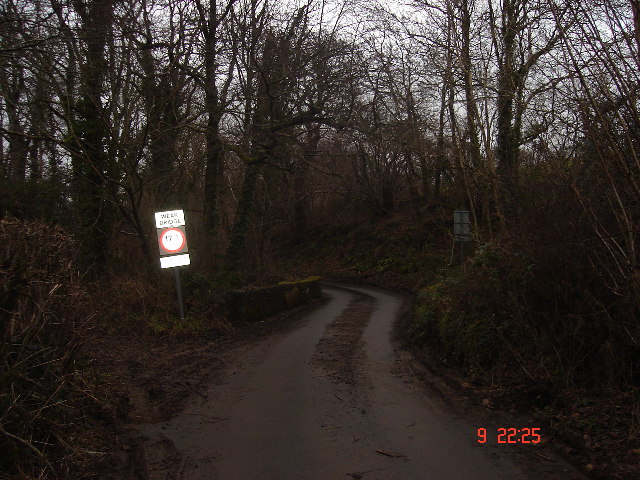
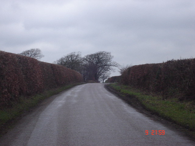
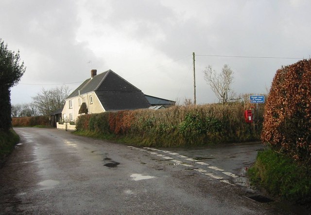
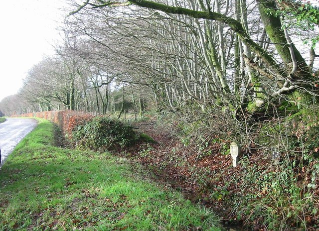
North Week Bottoms Images

Images are sourced within 2km of 50.941632/-3.7946663 or Grid Reference SS7417. Thanks to Geograph Open Source API. All images are credited.

Romansleigh : Country Lane Looking along the lane.
Romansleigh : Country Lane
Looking along the lane.
Romansleigh : Country Lane Looking along the lane.
Romansleigh : Country Lane
Looking along the lane.
Romansleigh : Odam Moor Cross Looking along the road at Odam Moor Cross.
Romansleigh : Odam Moor Cross
Looking along the road at Odam Moor Cross.
Romansleigh : Track A muddy track.
Romansleigh : Track
A muddy track.
Beacon Cross An isolated crossroads.  Many of the crossroads here on high ground between Dartmoor and Exmoor have beacons.
Beacon Cross
An isolated crossroads. Many of the crossroads here on high ground between Dartmoor and Exmoor have beacons.
Weak bridge, Week Bridge over Huntacott Water, a normally placid but occasionally raging waterway.
One of many small rivers to cut small, deep valleys into the North Devon plateau.
Weak bridge, Week
Bridge over Huntacott Water, a normally placid but occasionally raging waterway. One of many small rivers to cut small, deep valleys into the North Devon plateau.
Hedges at Benley Cross Very much Exmoor style of beech hedges either side of the road.   Retain much of their leaves and give some shelter even in January.
Hedges at Benley Cross
Very much Exmoor style of beech hedges either side of the road. Retain much of their leaves and give some shelter even in January.
Romansleigh: Odam Moor Looking north-north-west. Romansleigh village is just visible on the skyline on the extreme left
Romansleigh: Odam Moor
Looking north-north-west. Romansleigh village is just visible on the skyline on the extreme left
Romansleigh: near Higher Thornham Looking south-south-east
Romansleigh: near Higher Thornham
Looking south-south-east
Romansleigh: towards South Molton Looking north with Exmoor on the skyline
Romansleigh: towards South Molton
Looking north with Exmoor on the skyline
Chulmleigh: wood on Bycott Moor Looking north-north-west by the entrance to Bycott Farm on the lane between Challacombe and Three Corner Cross
Chulmleigh: wood on Bycott Moor
Looking north-north-west by the entrance to Bycott Farm on the lane between Challacombe and Three Corner Cross
East Worlington: Bealy Court Farm buildings here have been converted to holiday cottages. Looking south-south-east to a barn and its single storey horse-engine house or roundhouse. Which suggests that the building on the left was probably a threshing barn at one time. Both buildings are now residential
East Worlington: Bealy Court
Farm buildings here have been converted to holiday cottages. Looking south-south-east to a barn and its single storey horse-engine house or roundhouse. Which suggests that the building on the left was probably a threshing barn at one time. Both buildings are now residential
Post box at Molland Cross. Serving a few scattered households in this very rural community, this little postbox is tucked away in the hedge at Molland Cross.
Post box at Molland Cross.
Serving a few scattered households in this very rural community, this little postbox is tucked away in the hedge at Molland Cross.
Lutworthy Moor Plantations The road towards Mouseberry Cross narrows between the trees, with Lutworthy Moor Plantations on the right of the photo.
Lutworthy Moor Plantations
The road towards Mouseberry Cross narrows between the trees, with Lutworthy Moor Plantations on the right of the photo.
Molland Cross Molland Cross showing the farm and a postbox on the junction.
Molland Cross
Molland Cross showing the farm and a postbox on the junction.
Hedgerows by entrance to Broadsmoor Farm Winter light on roadside hedgerows. Narrow strips of ground alongside the old drovers routes are common in the area.
Hedgerows by entrance to Broadsmoor Farm
Winter light on roadside hedgerows. Narrow strips of ground alongside the old drovers routes are common in the area.
Romansleigh: towards Little Meshaw Moor The double hedge hides the road from Odam Moor Cross to Hill Side Cross. Looking roughly south east
Romansleigh: towards Little Meshaw Moor
The double hedge hides the road from Odam Moor Cross to Hill Side Cross. Looking roughly south east
East Worlington: Lutworthy Moor Plantations By the road from Molland Cross to Mouseberry Cross, looking north east
East Worlington: Lutworthy Moor Plantations
By the road from Molland Cross to Mouseberry Cross, looking north east
Show me another place!

North Week Bottoms is located at Grid Ref: SS7417 (Lat: 50.941632, Lng: -3.7946663)

Administrative County: Devon

District: North Devon

Police Authority: Devon and Cornwall

What 3 Words

///smothered.pelting.remainder. Near Chulmleigh, Devon

Related Wikis

Week, Devon

Week is a small village in the civil parish of Chulmleigh, in the North Devon district of Devon, England. Its nearest town is Chulmleigh, which lies approximately...

Meshaw

Meshaw is a village and civil parish in the North Devon district of Devon, England. Its nearest town is South Molton, which lies approximately 5.9 miles...

Romansleigh

Romansleigh is a village and civil parish in the North Devon district of Devon, England. It is surrounded clockwise from the north by the parishes of Mariansleigh...

Affeton Castle

Affeton Castle is a converted late-medieval gatehouse near East Worlington, Devon, England. It was formerly part of the fortified manor house of Affeton...

Nearby Amenities

Located within 500m of 50.941632,-3.7946663
Generator Method: photovoltaic
Generator Output Electricity: yes
Generator Source: solar
Generator Type: solar_photovoltaic_panel
Location: roof
Power: generator
Lat/Long: 50.9377378/-3.794855
The data included in this document is from www.openstreetmap.org. The data is made available under ODbL.

Have you been to North Week Bottoms?

Leave your review of North Week Bottoms below (or comments, questions and feedback).