Affeton Wood

Wood, Forest in Devon North Devon

England

Affeton Wood

Ford near Cheldon This ford is situated on the road between Cheldon and West Worlington.
Ford near Cheldon Credit: Philip Halling

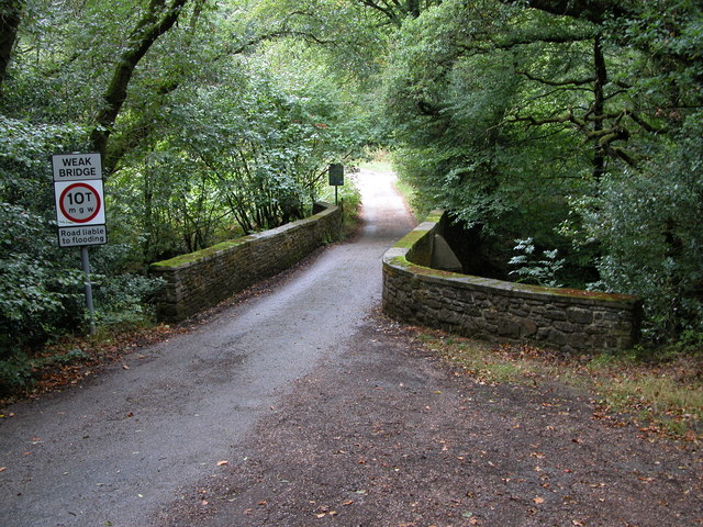
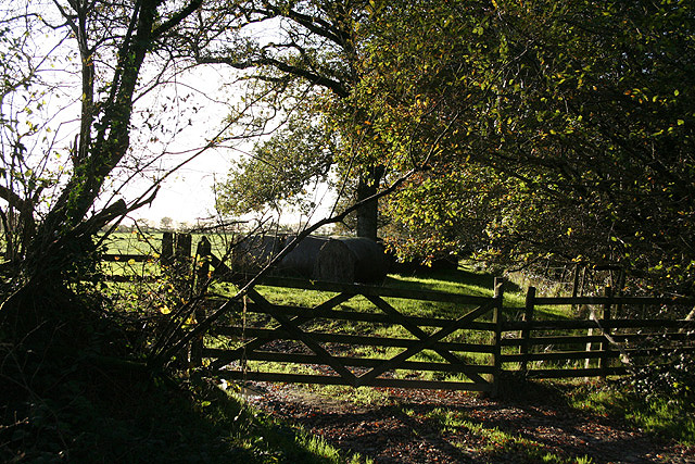
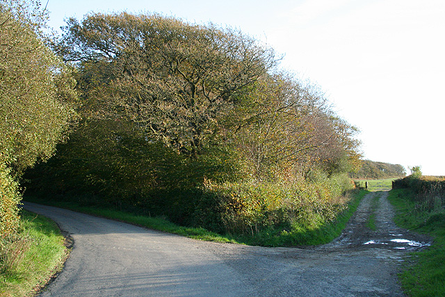
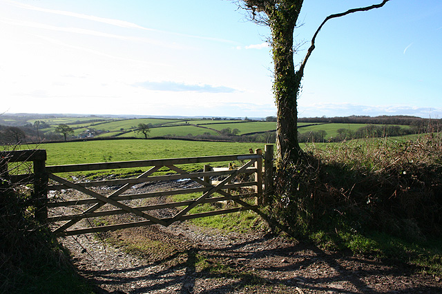
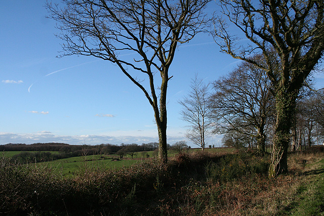
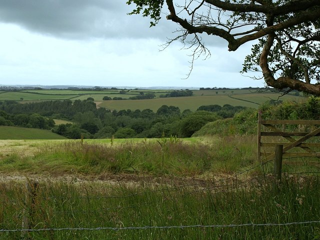
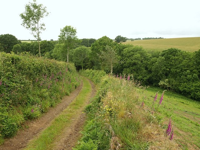
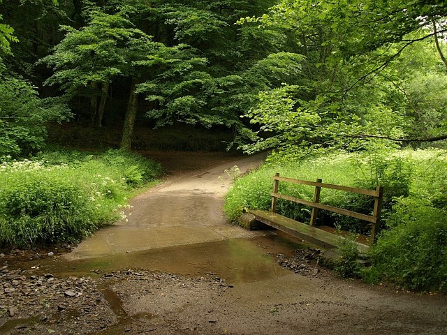
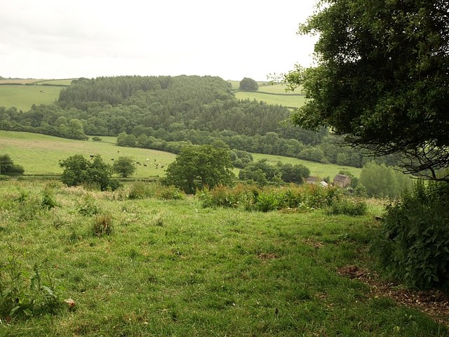
Affeton Wood is a charming woodland located in the county of Devon, England. Spanning an area of approximately 30 acres, it is a picturesque forest that showcases the natural beauty of the region. The wood is situated about 2 miles southwest of the village of East Worlington and can be easily accessed by a network of footpaths and country lanes.

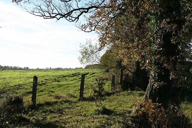
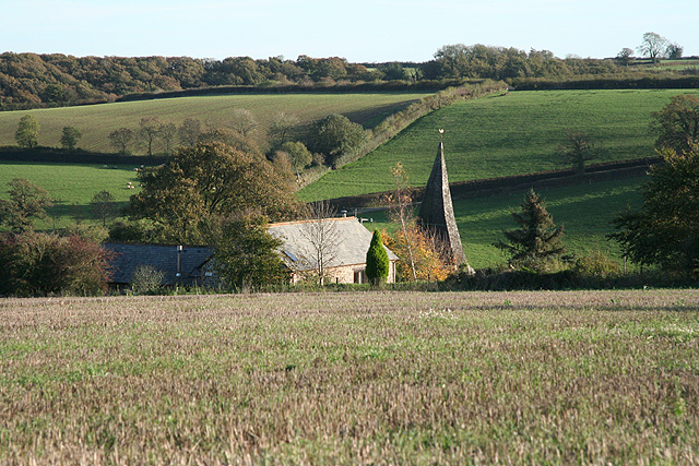
As one explores Affeton Wood, they are greeted by a diverse range of tree species, including oak, beech, and ash, which create a rich and vibrant canopy overhead. The forest floor is adorned with a carpet of wildflowers, providing a colorful contrast to the lush green surroundings.

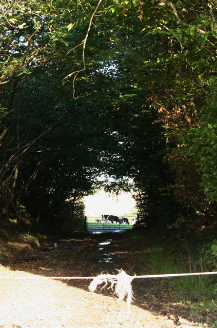
The woodland is home to a variety of wildlife, offering a haven for nature enthusiasts and birdwatchers. Visitors may catch a glimpse of elusive creatures such as deer and foxes, as well as a plethora of bird species, including woodpeckers, owls, and various songbirds.

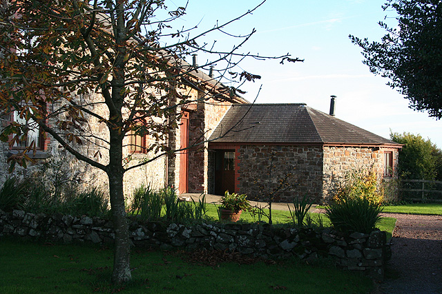
Affeton Wood is not only a place of natural beauty but also has historical significance. It is believed that the woodland has existed for centuries, serving as a source of timber and shelter for local communities throughout history.

The serene atmosphere of Affeton Wood makes it an ideal location for a peaceful stroll, birdwatching, or simply enjoying the tranquility of nature. With its enchanting scenery and rich biodiversity, this woodland is a hidden gem in the heart of Devon.

If you have any feedback on the listing, please let us know in the comments section below.
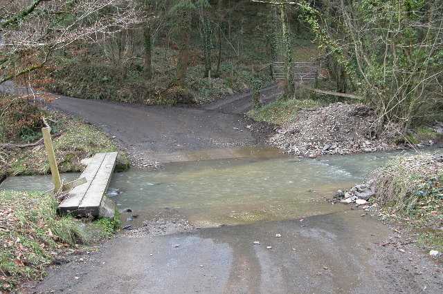
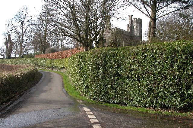
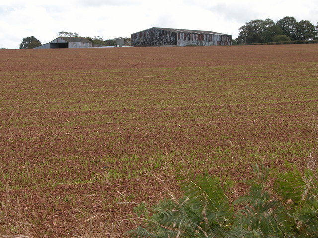
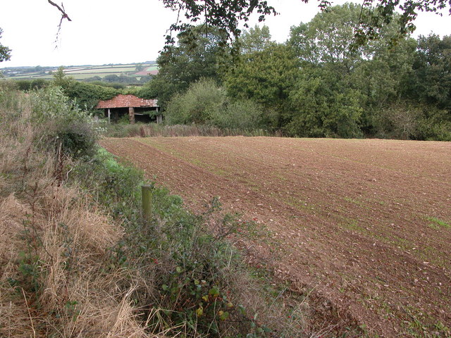
Affeton Wood Images

Images are sourced within 2km of 50.911339/-3.780826 or Grid Reference SS7413. Thanks to Geograph Open Source API. All images are credited.

Ford near Cheldon This ford is situated on the road between Cheldon and West Worlington.
Ford near Cheldon
This ford is situated on the road between Cheldon and West Worlington.
Affeton Castle, Affeton Barton This castle appears to be a private home.
Affeton Castle, Affeton Barton
This castle appears to be a private home.
Cheldon church Cheldon church is dedicated to St Mary and is mostly 15th century.
Cheldon church
Cheldon church is dedicated to St Mary and is mostly 15th century.
Farm buildings at Great Burridge In the field next year's winter cereal is just beginning to grow.
Farm buildings at Great Burridge
In the field next year's winter cereal is just beginning to grow.
Old farm building near Sowden's Burridge Old farm building in the corner of a field beside the Ridge and Valley Walk.
Old farm building near Sowden's Burridge
Old farm building in the corner of a field beside the Ridge and Valley Walk.
Cheldon Bridge Cheldon Bridge crosses the Little River Dart.
Cheldon Bridge
Cheldon Bridge crosses the Little River Dart.
East Worlington: by Affeton Moor Cross Looking west on Affeton Moor. The signpost here has the spelling ‘Aferton’
East Worlington: by Affeton Moor Cross
Looking west on Affeton Moor. The signpost here has the spelling ‘Aferton’
East Worlington: West Worlington church spire The crooked spire of St Mary’s church, looking south-south-east. The village is clustered in the Little Dart valley
East Worlington: West Worlington church spire
The crooked spire of St Mary’s church, looking south-south-east. The village is clustered in the Little Dart valley
East Worlington: near Cuddenhay Moor A farm access track, looking east-north-east
East Worlington: near Cuddenhay Moor
A farm access track, looking east-north-east
East Worlington: by Affeton Moor On the edge of the moor, near Affeton Moor Cross. Looking west
East Worlington: by Affeton Moor
On the edge of the moor, near Affeton Moor Cross. Looking west
East Worlington: by Yelland Moor Looking south. The bridleway on the right leads to Affeton Castle and Affeton Barton. The lane, left, runs to Affeton Moor Cross
East Worlington: by Yelland Moor
Looking south. The bridleway on the right leads to Affeton Castle and Affeton Barton. The lane, left, runs to Affeton Moor Cross
East Worlington: Bealy Court Farm buildings here have been converted to holiday cottages. Looking south-south-east to a barn and its single storey horse-engine house or roundhouse. Which suggests that the building on the left was probably a threshing barn at one time. Both buildings are now residential
East Worlington: Bealy Court
Farm buildings here have been converted to holiday cottages. Looking south-south-east to a barn and its single storey horse-engine house or roundhouse. Which suggests that the building on the left was probably a threshing barn at one time. Both buildings are now residential
Cheldon: Mounticombe Moors Looking south west towards Mounticombe
Cheldon: Mounticombe Moors
Looking south west towards Mounticombe
Cheldon: on Mounticombe Moors Looking north west by the lane to Cheldon Cross
Cheldon: on Mounticombe Moors
Looking north west by the lane to Cheldon Cross
Field north of Affeton Looking WSW from East Worlington Bridleway 10 as it runs up a broad ridge north of the Little Dart valley. The field slopes away towards a tributary valley running through the Affeton estate, and, in this view, in SS7414. The overhanging tree marks the beginning (to the right) of a stretch of the bridleway bordered by an old row of beeches.
Field north of Affeton
Looking WSW from East Worlington Bridleway 10 as it runs up a broad ridge north of the Little Dart valley. The field slopes away towards a tributary valley running through the Affeton estate, and, in this view, in SS7414. The overhanging tree marks the beginning (to the right) of a stretch of the bridleway bordered by an old row of beeches.
Track near Moorhill Wood A track descends a side valley that feeds a tributary of the Little Dart. Trees shown in this bank in satellite images have been felled allowing a clear view.
Track near Moorhill Wood
A track descends a side valley that feeds a tributary of the Little Dart. Trees shown in this bank in satellite images have been felled allowing a clear view.
Ford below Affeton Another view, from the other side of the unnamed stream, of <a href="https://www.geograph.org.uk/photo/126031">SS7413 : Ford near Cheldon</a>. It looks as though the handrail support on the little footbridge has been repaired. Beyond is Affeton Wood.
Ford below Affeton
Another view, from the other side of the unnamed stream, of SS7413 : Ford near Cheldon. It looks as though the handrail support on the little footbridge has been repaired. Beyond is Affeton Wood.
Little Dart valley below Affeton A view from a corner of Lodgehill Copse, near Affeton Castle. Below on the right is Affeton Mill. Mill Plantation is on the southern slopes across the river.
Little Dart valley below Affeton
A view from a corner of Lodgehill Copse, near Affeton Castle. Below on the right is Affeton Mill. Mill Plantation is on the southern slopes across the river.
Show me another place!

Affeton Wood is located at Grid Ref: SS7413 (Lat: 50.911339, Lng: -3.780826)

Administrative County: Devon

District: North Devon

Police Authority: Devon and Cornwall

What 3 Words

///shower.boards.dirt. Near Witheridge, Devon

Related Wikis

Affeton Castle

Affeton Castle is a converted late-medieval gatehouse near East Worlington, Devon, England. It was formerly part of the fortified manor house of Affeton...

West Worlington

West Worlington is a small village and former civil and ecclesiastical parish, now in the civil parish of East Worlington, in the North Devon district...

Cheldon

Cheldon is a village and former civil parish, 17 miles (27 km) north-west of Exeter, now in the parish of Chulmleigh, in the North Devon district, in the...

East Worlington

East Worlington is a civil parish and hamlet in the North Devon administrative area, in the English county of Devon, England.In 2001, the village had 241...

Week, Devon

Week is a small village in the civil parish of Chulmleigh, in the North Devon district of Devon, England. Its nearest town is Chulmleigh, which lies approximately...

Drayford

Drayford is a village in the English county of Devon, approximately 15 miles north west of Exeter. == External links == Media related to Drayford at Wikimedia...

Chawleigh

Chawleigh is a village and civil parish in Mid Devon in the English county of Devon, situated just off the A377 between Crediton and Barnstaple. It has...
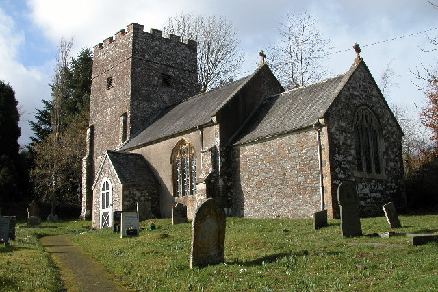
Thelbridge

Thelbridge is a village and civil parish in Devon, England. It is 5 miles NE of Morchard Road railway station and 8½ NNW of Crediton.The local church,...

Nearby Amenities

Located within 500m of 50.911339,-3.780826
Ford: yes
Lat/Long: 50.9089401/-3.7804139
The data included in this document is from www.openstreetmap.org. The data is made available under ODbL.

Have you been to Affeton Wood?

Leave your review of Affeton Wood below (or comments, questions and feedback).