Cheldon Wood

Wood, Forest in Devon North Devon

England

Cheldon Wood

Ford near Cheldon This ford is situated on the road between Cheldon and West Worlington.
Ford near Cheldon Credit: Philip Halling

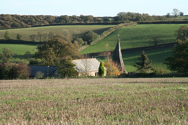
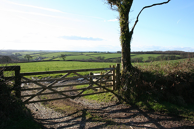
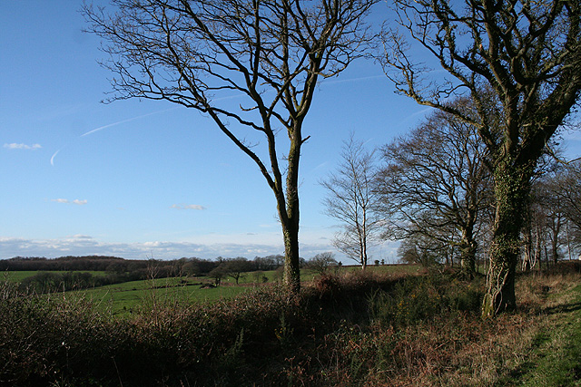
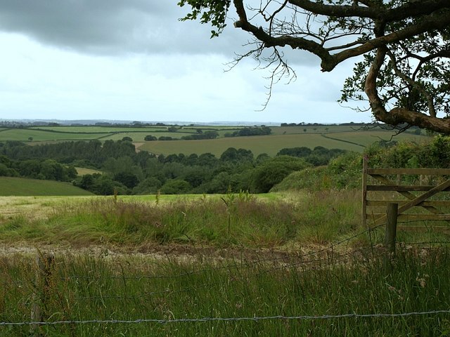
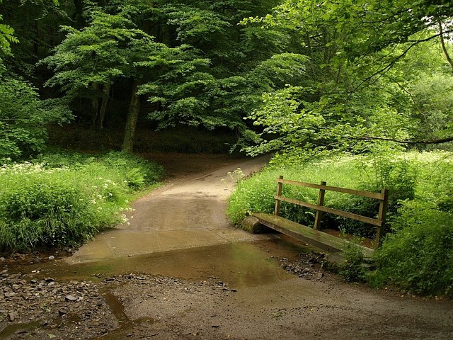
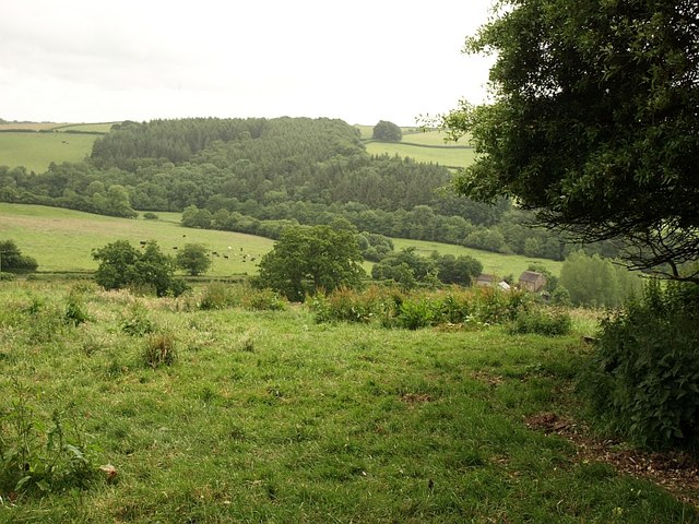
Cheldon Wood is a charming woodland area located in Devon, England. It covers a vast area and is known for its natural beauty and tranquil atmosphere. The wood is situated in the heart of the countryside, surrounded by rolling hills and picturesque landscapes.

The trees that populate Cheldon Wood are primarily deciduous, with a diverse range of species including oak, beech, and ash. The foliage creates a stunning display of colors during the autumn months, attracting visitors from far and wide. In spring and summer, the wood comes alive with vibrant greenery and the soothing sounds of birdsong.

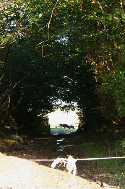
The wood is home to a variety of wildlife, making it a popular spot for nature enthusiasts and birdwatchers. Visitors may catch a glimpse of deer, rabbits, foxes, and numerous species of birds, including woodpeckers and owls. The peaceful environment provides a perfect opportunity for quiet walks, picnics, and photography.

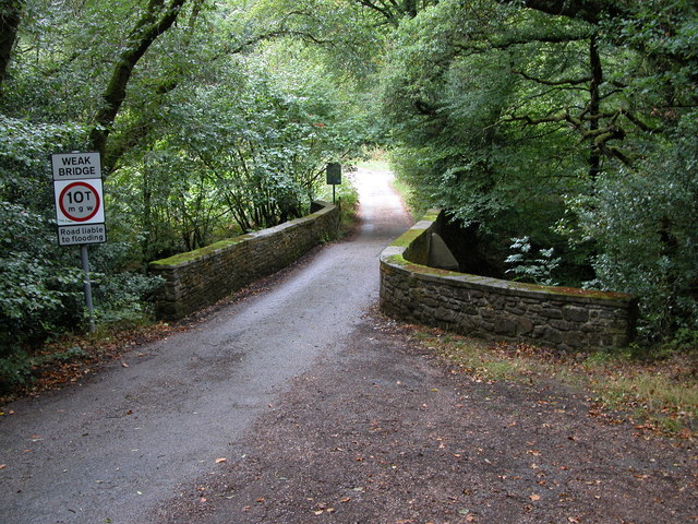
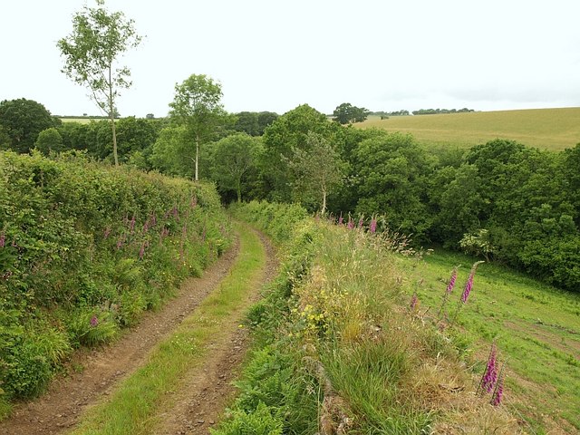
Cheldon Wood is also known for its well-maintained trails and paths, making it accessible for walkers of all abilities. The winding paths lead through the forest, providing enchanting views and opportunities to explore the natural surroundings. The wood is also popular for its recreational activities, such as cycling and horse riding.

The wood is easily accessible by car and public transport, with nearby parking facilities and bus stops. It is a popular destination for day trips and weekend getaways, offering a peaceful retreat from the hustle and bustle of city life.

Overall, Cheldon Wood in Devon is a haven of natural beauty, providing a serene escape for nature lovers and outdoor enthusiasts alike.

If you have any feedback on the listing, please let us know in the comments section below.

Cheldon Wood Images

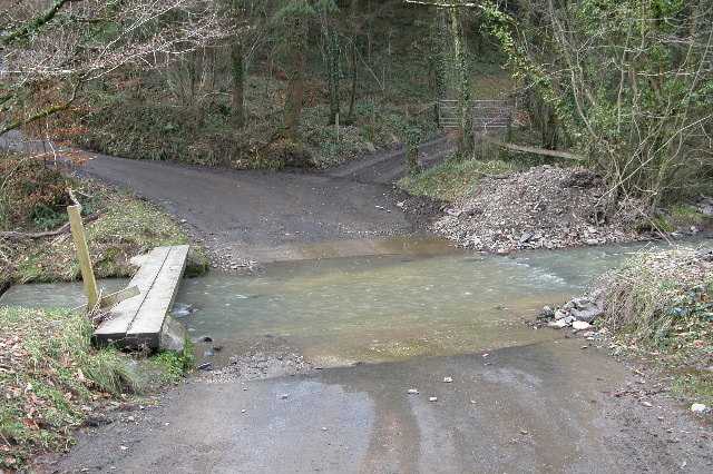
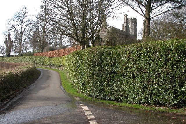
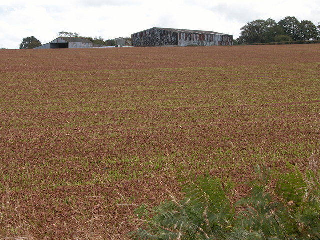
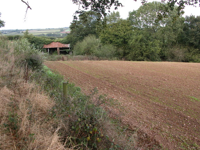
Images are sourced within 2km of 50.907831/-3.7808343 or Grid Reference SS7413. Thanks to Geograph Open Source API. All images are credited.

Ford near Cheldon This ford is situated on the road between Cheldon and West Worlington.
Ford near Cheldon
This ford is situated on the road between Cheldon and West Worlington.
Affeton Castle, Affeton Barton This castle appears to be a private home.
Affeton Castle, Affeton Barton
This castle appears to be a private home.
Cheldon church Cheldon church is dedicated to St Mary and is mostly 15th century.
Cheldon church
Cheldon church is dedicated to St Mary and is mostly 15th century.
Cobley Farm, Worlington Cobley Farm at Worlington viewed across a field.
Cobley Farm, Worlington
Cobley Farm at Worlington viewed across a field.
Hay bales at Great Burridge Hay bales and rolls in a field near Great Burridge Farm.
Hay bales at Great Burridge
Hay bales and rolls in a field near Great Burridge Farm.
Field beside the B3042 This field to the south of Great Burridge is crossed by the Ridge and Valley Walk.
Field beside the B3042
This field to the south of Great Burridge is crossed by the Ridge and Valley Walk.
Farm buildings at Great Burridge In the field next year's winter cereal is just beginning to grow.
Farm buildings at Great Burridge
In the field next year's winter cereal is just beginning to grow.
Old farm building near Sowden's Burridge Old farm building in the corner of a field beside the Ridge and Valley Walk.
Old farm building near Sowden's Burridge
Old farm building in the corner of a field beside the Ridge and Valley Walk.
Cheldon Bridge Cheldon Bridge crosses the Little River Dart.
Cheldon Bridge
Cheldon Bridge crosses the Little River Dart.
East Worlington: West Worlington church spire The crooked spire of St Mary’s church, looking south-south-east. The village is clustered in the Little Dart valley
East Worlington: West Worlington church spire
The crooked spire of St Mary’s church, looking south-south-east. The village is clustered in the Little Dart valley
East Worlington: near Cuddenhay Moor A farm access track, looking east-north-east
East Worlington: near Cuddenhay Moor
A farm access track, looking east-north-east
Cheldon: Mounticombe Moors Looking south west towards Mounticombe
Cheldon: Mounticombe Moors
Looking south west towards Mounticombe
Cheldon: on Mounticombe Moors Looking north west by the lane to Cheldon Cross
Cheldon: on Mounticombe Moors
Looking north west by the lane to Cheldon Cross
Field north of Affeton Looking WSW from East Worlington Bridleway 10 as it runs up a broad ridge north of the Little Dart valley. The field slopes away towards a tributary valley running through the Affeton estate, and, in this view, in SS7414. The overhanging tree marks the beginning (to the right) of a stretch of the bridleway bordered by an old row of beeches.
Field north of Affeton
Looking WSW from East Worlington Bridleway 10 as it runs up a broad ridge north of the Little Dart valley. The field slopes away towards a tributary valley running through the Affeton estate, and, in this view, in SS7414. The overhanging tree marks the beginning (to the right) of a stretch of the bridleway bordered by an old row of beeches.
Track near Moorhill Wood A track descends a side valley that feeds a tributary of the Little Dart. Trees shown in this bank in satellite images have been felled allowing a clear view.
Track near Moorhill Wood
A track descends a side valley that feeds a tributary of the Little Dart. Trees shown in this bank in satellite images have been felled allowing a clear view.
Ford below Affeton Another view, from the other side of the unnamed stream, of <a href="https://www.geograph.org.uk/photo/126031">SS7413 : Ford near Cheldon</a>. It looks as though the handrail support on the little footbridge has been repaired. Beyond is Affeton Wood.
Ford below Affeton
Another view, from the other side of the unnamed stream, of SS7413 : Ford near Cheldon. It looks as though the handrail support on the little footbridge has been repaired. Beyond is Affeton Wood.
Little Dart valley below Affeton A view from a corner of Lodgehill Copse, near Affeton Castle. Below on the right is Affeton Mill. Mill Plantation is on the southern slopes across the river.
Little Dart valley below Affeton
A view from a corner of Lodgehill Copse, near Affeton Castle. Below on the right is Affeton Mill. Mill Plantation is on the southern slopes across the river.
Orchids on verge, Round Ash Moor A notice asks that the verge is not cut as it is protected, and these magnificent orchids (Heath Spotted and Southern Marsh, I think) illustrate why.
Orchids on verge, Round Ash Moor
A notice asks that the verge is not cut as it is protected, and these magnificent orchids (Heath Spotted and Southern Marsh, I think) illustrate why.
Show me another place!

Cheldon Wood is located at Grid Ref: SS7413 (Lat: 50.907831, Lng: -3.7808343)

Administrative County: Devon

District: North Devon

Police Authority: Devon and Cornwall

What 3 Words

///pursue.overtime.speeds. Near Witheridge, Devon

Related Wikis

Affeton Castle

Affeton Castle is a converted late-medieval gatehouse near East Worlington, Devon, England. It was formerly part of the fortified manor house of Affeton...

West Worlington

West Worlington is a small village and former civil and ecclesiastical parish, now in the civil parish of East Worlington, in the North Devon district...

Cheldon

Cheldon is a village and former civil parish, 17 miles (27 km) north-west of Exeter, now in the parish of Chulmleigh, in the North Devon district, in the...

East Worlington

East Worlington is a civil parish and hamlet in the North Devon administrative area, in the English county of Devon, England.In 2001, the village had 241...

Nearby Amenities

Located within 500m of 50.907831,-3.7808343
Ford: yes
Lat/Long: 50.9089401/-3.7804139
The data included in this document is from www.openstreetmap.org. The data is made available under ODbL.

Have you been to Cheldon Wood?

Leave your review of Cheldon Wood below (or comments, questions and feedback).