Deercombe Wood

Wood, Forest in Devon North Devon

England

Deercombe Wood

North Molton: Higher North Radworthy Looking north west towards a new silo
North Molton: Higher North Radworthy Credit: Martin Bodman

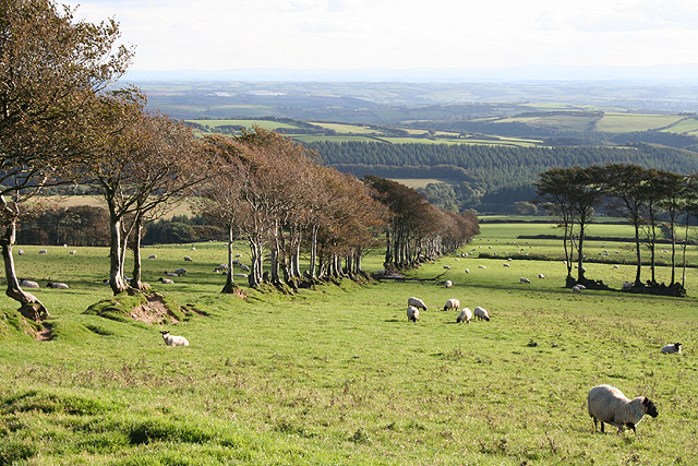
Deercombe Wood is a picturesque woodland located in the county of Devon, England. Spanning over an area of approximately 100 acres, this enchanting forest is nestled within the Dartmoor National Park, offering visitors a tranquil and serene escape from the bustling city life.

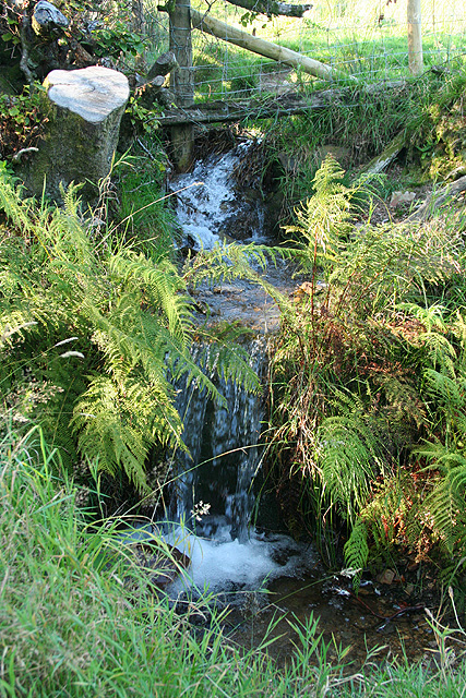
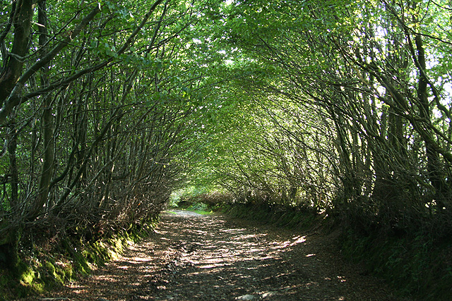
The wood is predominantly composed of deciduous trees, such as oak, beech, and ash, which create a diverse and vibrant canopy throughout the year. The forest floor is blanketed with a rich carpet of mosses, ferns, and wildflowers, adding to the natural beauty and biodiversity of the area.

Deercombe Wood is home to a variety of wildlife species, including deer, badgers, foxes, and a plethora of bird species. Nature enthusiasts and birdwatchers flock to the wood in search of rare and elusive avian species, making it a popular destination for wildlife enthusiasts.

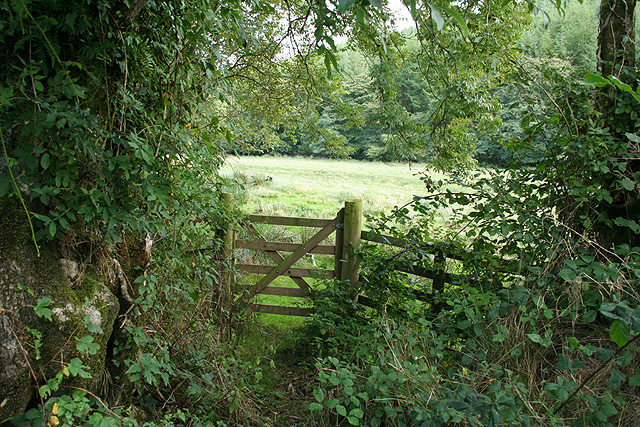
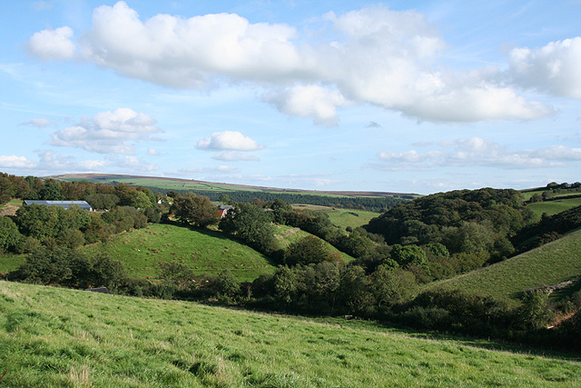
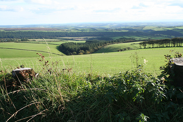
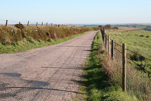
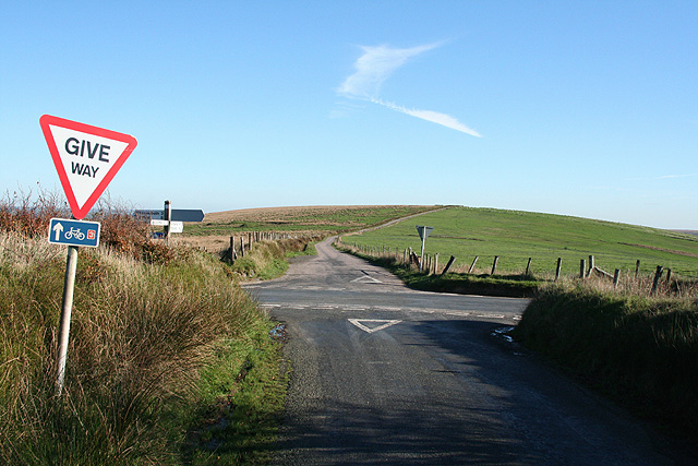
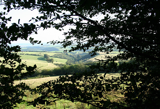
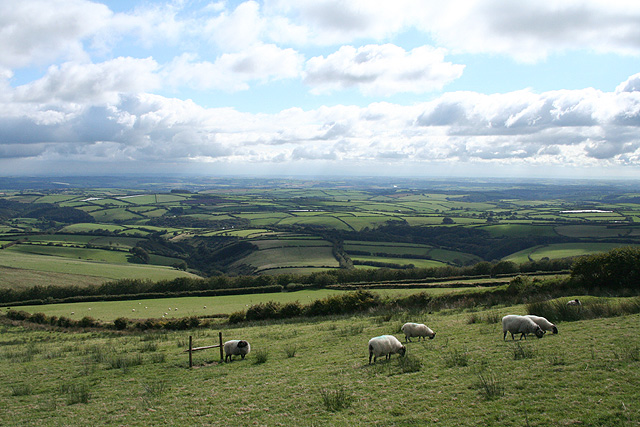
The wood is crisscrossed with a network of well-maintained trails that meander through the forest, allowing visitors to explore its hidden corners and discover its hidden gems. These paths are suitable for all levels of fitness and offer stunning views of the surrounding landscape, including the rolling hills and meandering streams that characterize the Devon countryside.

Visitors to Deercombe Wood can also enjoy a picnic in one of the designated areas or simply find a peaceful spot to sit and immerse themselves in the tranquil ambiance of the woodland. The wood is open to the public throughout the year, with the changing seasons offering a unique and ever-changing experience for visitors. Overall, Deercombe Wood is a sanctuary of natural beauty, offering a respite from the chaos of everyday life and a chance to reconnect with nature.

If you have any feedback on the listing, please let us know in the comments section below.

Deercombe Wood Images

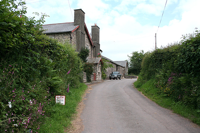
Images are sourced within 2km of 51.09914/-3.7932903 or Grid Reference SS7434. Thanks to Geograph Open Source API. All images are credited.

North Molton: Higher North Radworthy Looking north west towards a new silo
North Molton: Higher North Radworthy
Looking north west towards a new silo
North Molton: in the Mole valley A footpath between Mines Bridge and Higher Mines Wood. Looking east-south-east
North Molton: in the Mole valley
A footpath between Mines Bridge and Higher Mines Wood. Looking east-south-east
North Molton: towards Heasley Wood The wood is on the right of the valley. On the left, hidden behind trees is Bentwitchen, a complex of farm buildings, some now converted to private homes. Looking south east in late afternoon light, September
North Molton: towards Heasley Wood
The wood is on the right of the valley. On the left, hidden behind trees is Bentwitchen, a complex of farm buildings, some now converted to private homes. Looking south east in late afternoon light, September
North Molton: Bentwitchen Looking south towards a converted horse-engine house: the building beyond the gate. A leat runs south to Bentwitchen but apparently was used for potable water and for irrigation: power was provided by horses rather than by a waterwheel
North Molton: Bentwitchen
Looking south towards a converted horse-engine house: the building beyond the gate. A leat runs south to Bentwitchen but apparently was used for potable water and for irrigation: power was provided by horses rather than by a waterwheel
North Molton: on Fyldon Hill Sheep penned waiting for attention to their hooves near Span Head. Looking east-south-east
North Molton: on Fyldon Hill
Sheep penned waiting for attention to their hooves near Span Head. Looking east-south-east
North Molton: on Fyldon Common Looking south to Fyldon Wood and Deercombe Wood. In the distance Long Wood, a plantation, stands on the southern edge of the Mole valley
North Molton: on Fyldon Common
Looking south to Fyldon Wood and Deercombe Wood. In the distance Long Wood, a plantation, stands on the southern edge of the Mole valley
North Molton: on Fyldon Common Looking south over sheep country. The plantation in the distance is Long Wood, by the Mole valley
North Molton: on Fyldon Common
Looking south over sheep country. The plantation in the distance is Long Wood, by the Mole valley
Exmoor: on Hangley Cleave Looking north-north-west towards Kinsford from the top of one of the ‘Two Barrows’ which is just inside the Somerset border with Devon
Exmoor: on Hangley Cleave
Looking north-north-west towards Kinsford from the top of one of the ‘Two Barrows’ which is just inside the Somerset border with Devon
North Molton: on Fyldon Common Looking east-south-east on the road between Kinsford Gate Cross and Sandway Cross. This route is the border between Devon and Somerset
North Molton: on Fyldon Common
Looking east-south-east on the road between Kinsford Gate Cross and Sandway Cross. This route is the border between Devon and Somerset
Exmoor: Kinsford Gate Cross Looking east-south-east. The road ahead leads to Sandyway Cross and is the boundary between Somerset and Devon
Exmoor: Kinsford Gate Cross
Looking east-south-east. The road ahead leads to Sandyway Cross and is the boundary between Somerset and Devon
Hunting on Hangley Cleave, having crossed Kinsford Water
North Molton: Span Head Water course on Fyldon Common
North Molton: Span Head
Water course on Fyldon Common
North Molton: track to Bentwitchen Looking south west below Span Head
North Molton: track to Bentwitchen
Looking south west below Span Head
North Molton: towards Lyddicombe Bottom With Fyldon Hill to the left. Seen from the tree-lined track that runs from Span Head to Bentwitchen
North Molton: towards Lyddicombe Bottom
With Fyldon Hill to the left. Seen from the tree-lined track that runs from Span Head to Bentwitchen
North Molton: on Fyldon Common Looking south-south-west towards Lyddicombe Bottom
North Molton: on Fyldon Common
Looking south-south-west towards Lyddicombe Bottom
North Molton: on Fyldon Hill Looking west-south-west towards Bentwitchen
North Molton: on Fyldon Hill
Looking west-south-west towards Bentwitchen
North Molton: above Span Head Looking south-south-west towards Lyddicombe Bottom
North Molton: above Span Head
Looking south-south-west towards Lyddicombe Bottom
Gravel Pit Cross
Gravel Pit Cross
Show me another place!

Deercombe Wood is located at Grid Ref: SS7434 (Lat: 51.09914, Lng: -3.7932903)

Administrative County: Devon

District: North Devon

Police Authority: Devon and Cornwall

What 3 Words

///cluttered.mealtime.wiping. Near South Molton, Devon

Related Wikis

North Radworthy

North Radworthy is a hamlet and historic estate in the civil parish and former manor of North Molton, in the North Devon district of the county of Devon...

Bentwitchen

Bentwitchen is a hamlet in Devon, England. == References ==

South Radworthy

South Radworthy is a hamlet in the civil parish of North Molton, in the North Devon District of the county of Devon, England. It is about three miles to...

North Molton

North Molton is a village, parish and former manor in North Devon, England. The population of the parish in 2001 was 1,047, decreasing to 721 in the 2011...

Have you been to Deercombe Wood?

Leave your review of Deercombe Wood below (or comments, questions and feedback).