Higher Mines Wood

Wood, Forest in Devon North Devon

England

Higher Mines Wood

North Molton: Higher North Radworthy Looking north west towards a new silo
North Molton: Higher North Radworthy Credit: Martin Bodman

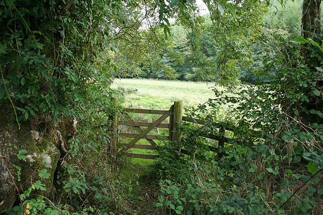
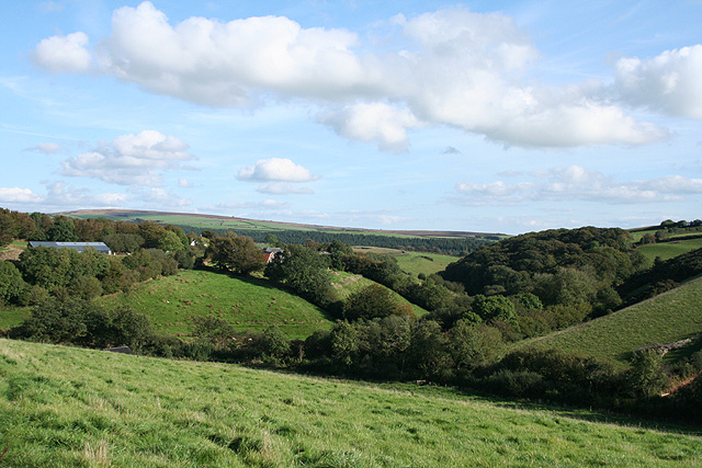
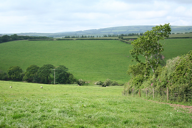
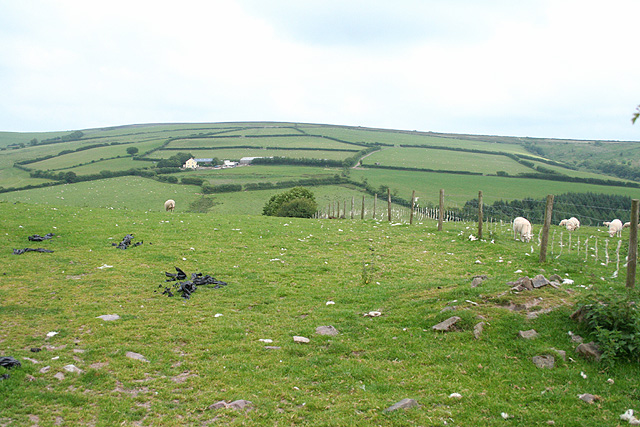
Higher Mines Wood is a picturesque woodland located in Devon, England. Covering an area of approximately 50 acres, the woodland is a mix of mature trees, including oak, beech, and ash, as well as younger saplings and shrubs. The woodland is crisscrossed with a network of well-maintained walking paths, making it a popular destination for hikers and nature enthusiasts.

Higher Mines Wood is known for its diverse flora and fauna, with a variety of bird species, butterflies, and other wildlife calling the woodland home. The tranquil atmosphere and natural beauty of the woodland make it a peaceful retreat for visitors looking to escape the hustle and bustle of everyday life.

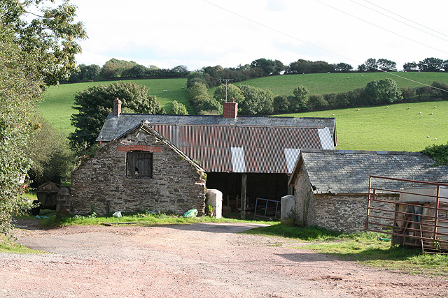
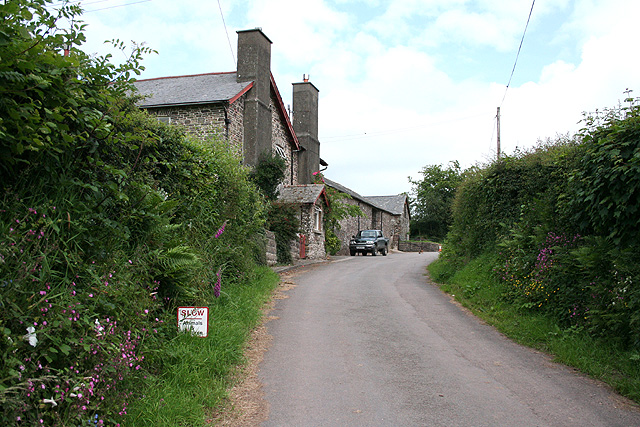
In addition to its natural beauty, Higher Mines Wood also has a rich history. The woodland was once part of a larger estate and is dotted with remnants of old mine workings, adding to its charm and mystique.

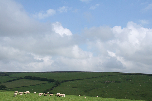
Overall, Higher Mines Wood is a delightful destination for anyone looking to immerse themselves in nature and explore the beauty of the Devon countryside. Whether you enjoy a leisurely stroll through the trees or prefer a more challenging hike, this woodland has something to offer for everyone.

If you have any feedback on the listing, please let us know in the comments section below.

Higher Mines Wood Images

Images are sourced within 2km of 51.087318/-3.7930471 or Grid Reference SS7433. Thanks to Geograph Open Source API. All images are credited.

North Molton: Higher North Radworthy Looking north west towards a new silo
North Molton: Higher North Radworthy
Looking north west towards a new silo
North Molton: in the Mole valley A footpath between Mines Bridge and Higher Mines Wood. Looking east-south-east
North Molton: in the Mole valley
A footpath between Mines Bridge and Higher Mines Wood. Looking east-south-east
North Molton: Heasley Mill The hamlet acquired its full name in the late 18th century when a four-storey water-powered woollen factory was established here. It ceased work by 1860 or thereabouts and was demolished by the time of the First World War. It stood on the small green to the right of the Heasley House Hotel, the large Georgian building in the centre of the group. A further watermill beyond the green survives as a house conversion. Looking north east
North Molton: Heasley Mill
The hamlet acquired its full name in the late 18th century when a four-storey water-powered woollen factory was established here. It ceased work by 1860 or thereabouts and was demolished by the time of the First World War. It stood on the small green to the right of the Heasley House Hotel, the large Georgian building in the centre of the group. A further watermill beyond the green survives as a house conversion. Looking north east
North Molton: Bampfylde Mine The mine was worked for copper in the 18th and 19th centuries. Seven waterwheels were on site in 1868, powered by more than one leat; these were used for pumping the mine and crushing and dressing the ores. Looking south east. [For more information see ‘Exmoor’s Industrial Archaeology’, edited by Michael Atkinson, Exmoor Press, 1997]
North Molton: Bampfylde Mine
The mine was worked for copper in the 18th and 19th centuries. Seven waterwheels were on site in 1868, powered by more than one leat; these were used for pumping the mine and crushing and dressing the ores. Looking south east. [For more information see ‘Exmoor’s Industrial Archaeology’, edited by Michael Atkinson, Exmoor Press, 1997]
North Molton: North Heasley Part of the complex of farm buildings here. Looking south-south-east
North Molton: North Heasley
Part of the complex of farm buildings here. Looking south-south-east
North Molton: towards North Heasley Looking north east. Fyldon Common is on the skyline
North Molton: towards North Heasley
Looking north east. Fyldon Common is on the skyline
North Molton: towards Heasley Wood The wood is on the right of the valley. On the left, hidden behind trees is Bentwitchen, a complex of farm buildings, some now converted to private homes. Looking south east in late afternoon light, September
North Molton: towards Heasley Wood
The wood is on the right of the valley. On the left, hidden behind trees is Bentwitchen, a complex of farm buildings, some now converted to private homes. Looking south east in late afternoon light, September
North Molton: Bentwitchen Looking south towards a converted horse-engine house: the building beyond the gate. A leat runs south to Bentwitchen but apparently was used for potable water and for irrigation: power was provided by horses rather than by a waterwheel
North Molton: Bentwitchen
Looking south towards a converted horse-engine house: the building beyond the gate. A leat runs south to Bentwitchen but apparently was used for potable water and for irrigation: power was provided by horses rather than by a waterwheel
North Molton: on Fyldon Hill Sheep penned waiting for attention to their hooves near Span Head. Looking east-south-east
North Molton: on Fyldon Hill
Sheep penned waiting for attention to their hooves near Span Head. Looking east-south-east
North Molton: Great Heasley Seen from the lane between Heasley Mill and Rewe Cross
North Molton: Great Heasley
Seen from the lane between Heasley Mill and Rewe Cross
North Molton: near North Heasley Cross Looking east-north-east towards Exmoor beyond North Radworthy
North Molton: near North Heasley Cross
Looking east-north-east towards Exmoor beyond North Radworthy
North Molton: South Wood Looking south-south-west
North Molton: South Wood
Looking south-south-west
North Molton: near Radworthy Down Looking north-north-west
North Molton: near Radworthy Down
Looking north-north-west
North Molton: Higher South Radway Looking east-south-east
North Molton: Higher South Radway
Looking east-south-east
North Molton: towards Tabor Hill Tabor Hill is the farm across the valley beyond the square
North Molton: towards Tabor Hill
Tabor Hill is the farm across the valley beyond the square
North Molton: towards North Molton Ridge Looking south east
North Molton: towards North Molton Ridge
Looking south east
North Molton: by Longstone Wells Looking north-north-west with Fyldon Common in the distance, on the horizon
North Molton: by Longstone Wells
Looking north-north-west with Fyldon Common in the distance, on the horizon
North Molton: on Fyldon Hill Looking west-south-west towards Bentwitchen
North Molton: on Fyldon Hill
Looking west-south-west towards Bentwitchen
Show me another place!

Higher Mines Wood is located at Grid Ref: SS7433 (Lat: 51.087318, Lng: -3.7930471)

Administrative County: Devon

District: North Devon

Police Authority: Devon and Cornwall

What 3 Words

///tribes.scatters.bulldozer. Near South Molton, Devon

Related Wikis

South Radworthy

South Radworthy is a hamlet in the civil parish of North Molton, in the North Devon District of the county of Devon, England. It is about three miles to...

North Radworthy

North Radworthy is a hamlet and historic estate in the civil parish and former manor of North Molton, in the North Devon district of the county of Devon...

Bentwitchen

Bentwitchen is a hamlet in Devon, England. == References ==

North Molton

North Molton is a village, parish and former manor in North Devon, England. The population of the parish in 2001 was 1,047, decreasing to 721 in the 2011...

Nearby Amenities

Located within 500m of 51.087318,-3.7930471
Generator Method: photovoltaic
Generator Output Electricity: yes
Generator Source: solar
Generator Type: solar_photovoltaic_panel
Location: roof
Power: generator
Lat/Long: 51.0901205/-3.7906507
The data included in this document is from www.openstreetmap.org. The data is made available under ODbL.

Have you been to Higher Mines Wood?

Leave your review of Higher Mines Wood below (or comments, questions and feedback).