Down Plantation

Wood, Forest in Devon Mid Devon

England

Down Plantation

Bridleway beside Handsford Farm, Chawleigh
Bridleway beside Handsford Farm, Chawleigh Credit: Philip Halling

Down Plantation is a picturesque woodland located in the county of Devon, England. Situated on the outskirts of the town of Moretonhampstead, it covers an area of approximately 100 acres and is characterized by its diverse flora and tranquil atmosphere. The plantation is nestled within the beautiful Dartmoor National Park, offering visitors a unique opportunity to explore the region's stunning natural landscapes.

The woodland is predominantly composed of native tree species such as oak, beech, and birch, which create a dense canopy overhead, providing shade and shelter for a variety of wildlife. The forest floor is carpeted with a rich tapestry of ferns, mosses, and wildflowers, adding to the area's natural beauty. Numerous walking trails meander through the plantation, offering visitors the chance to immerse themselves in the peaceful ambiance and enjoy the sights and sounds of nature.

Down Plantation is not only a haven for nature enthusiasts but also a valuable resource for local communities. It has been managed sustainably for many years, ensuring the preservation of the woodland's biodiversity and ecological balance. The plantation also serves as a recreational space, attracting hikers, dog walkers, and families seeking a peaceful retreat.

The plantation's location within Dartmoor National Park provides an additional allure, as visitors can easily venture beyond the woodland to explore the wider park's expansive moorlands, rivers, and granite tors. The area is also known for its rich archaeological heritage, with ancient ruins and stone circles scattered throughout the landscape.

In summary, Down Plantation in Devon, England, offers a serene and enchanting woodland experience. Its diverse flora and well-maintained trails make it an ideal destination for nature lovers, walkers, and those seeking a respite from the bustling modern world.

If you have any feedback on the listing, please let us know in the comments section below.

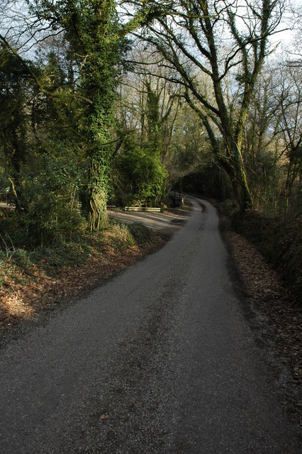
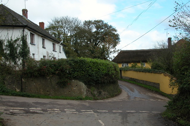
Down Plantation Images

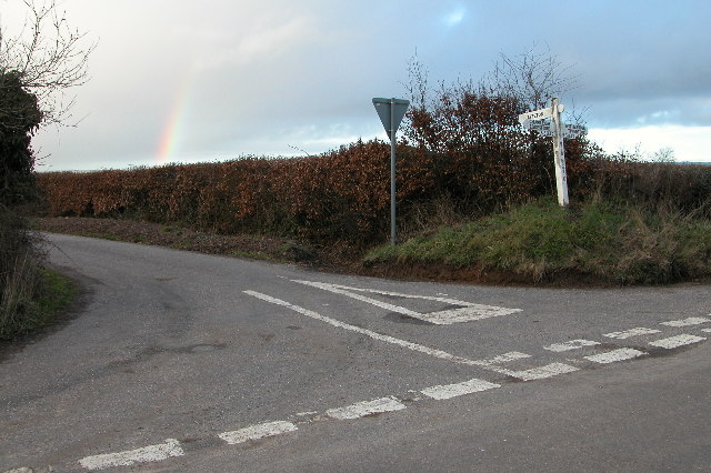
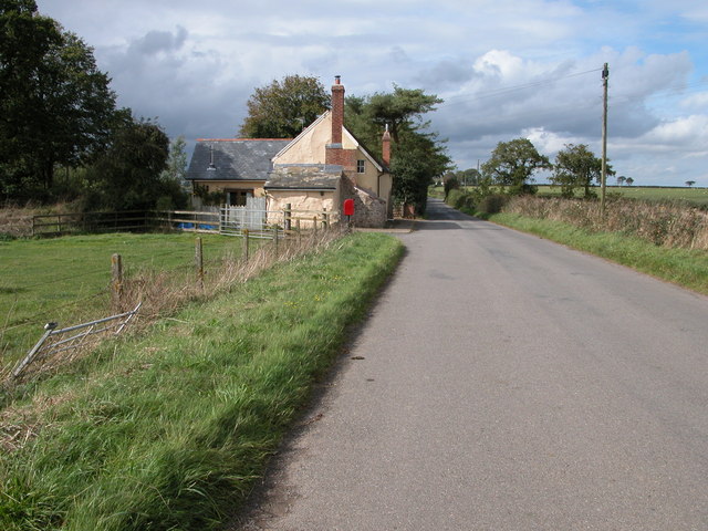
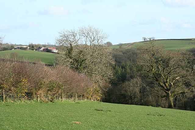
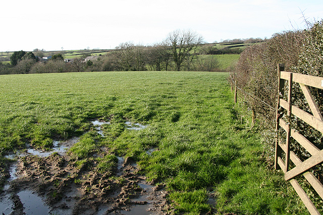
Images are sourced within 2km of 50.876495/-3.7851829 or Grid Reference SS7410. Thanks to Geograph Open Source API. All images are credited.

Bridleway beside Handsford Farm, Chawleigh
Road junction at Tween-Moor Cross
Filleigh Moor Cross, West Filleigh
Track to Lower Filleigh The track passes through a farmyard before emerging onto a country lane. See the same view three years later <a href="https://www.geograph.org.uk/photo/1193311">SS7410 : Track to Lower Filleigh</a>
Track to Lower Filleigh
The track passes through a farmyard before emerging onto a country lane. See the same view three years later SS7410 : Track to Lower Filleigh
Hay bales at Great Burridge Hay bales and rolls in a field near Great Burridge Farm.
Hay bales at Great Burridge
Hay bales and rolls in a field near Great Burridge Farm.
Field beside the B3042 This field to the south of Great Burridge is crossed by the Ridge and Valley Walk.
Field beside the B3042
This field to the south of Great Burridge is crossed by the Ridge and Valley Walk.
Cottage near Tween-Moor Cross
East Worlington: above the river Dalch On a public footpath near the site of Deneridge or Dendridge watermill. Looking south
East Worlington: above the river Dalch
On a public footpath near the site of Deneridge or Dendridge watermill. Looking south
East Worlington: the Dalch valley Looking south east towards Langland on the hill opposite, beyond the square. Seen from a public footpath
East Worlington: the Dalch valley
Looking south east towards Langland on the hill opposite, beyond the square. Seen from a public footpath
Lapford: near Broomsmead Looking north west towards Northlake
Lapford: near Broomsmead
Looking north west towards Northlake
Pouncers The chimneys of the ruined farmhouse can be seen above the barn on the right. The outbuildings, however, are clearly still in use. Seen from the surprisingly quiet B3042 between Chawleigh and Witheridge.
Pouncers
The chimneys of the ruined farmhouse can be seen above the barn on the right. The outbuildings, however, are clearly still in use. Seen from the surprisingly quiet B3042 between Chawleigh and Witheridge.
Orchids on verge, Round Ash Moor A notice asks that the verge is not cut as it is protected, and these magnificent orchids (Heath Spotted and Southern Marsh, I think) illustrate why.
Orchids on verge, Round Ash Moor
A notice asks that the verge is not cut as it is protected, and these magnificent orchids (Heath Spotted and Southern Marsh, I think) illustrate why.
Footpath gate near Lower Filleigh This gate above the Dalch valley has a small gate within it to allow walkers through without opening the main gate.
Footpath gate near Lower Filleigh
This gate above the Dalch valley has a small gate within it to allow walkers through without opening the main gate.
The Dalch Valley Farmland above the Dalch valley, viewed here from the footpath between Lower Filleigh and Cobley.
The Dalch Valley
Farmland above the Dalch valley, viewed here from the footpath between Lower Filleigh and Cobley.
Track to Lower Filleigh A footpath from Cobley in the Dalch valley follows the track with the broad hedges either side. This is almost unchanged from a similar view taken in April 2006, see: <a href="https://www.geograph.org.uk/photo/145707">SS7410 : Track to Lower Filleigh</a>
Track to Lower Filleigh
A footpath from Cobley in the Dalch valley follows the track with the broad hedges either side. This is almost unchanged from a similar view taken in April 2006, see: SS7410 : Track to Lower Filleigh
Farm track at Lower Filleigh A track follows the line of a hedge on farmland near Lower Filleigh.
Farm track at Lower Filleigh
A track follows the line of a hedge on farmland near Lower Filleigh.
Country road near Filleigh Country road between Filleigh and Deneridge Cross.
Country road near Filleigh
Country road between Filleigh and Deneridge Cross.
Road near Filleigh Country road from Filleigh to Deneridge Cross.
Road near Filleigh
Country road from Filleigh to Deneridge Cross.
Show me another place!

Down Plantation is located at Grid Ref: SS7410 (Lat: 50.876495, Lng: -3.7851829)

Administrative County: Devon

District: Mid Devon

Police Authority: Devon and Cornwall

What 3 Words

///ratty.printouts.groomed. Near Morchard Bishop, Devon

Related Wikis

Eastington, Devon

Eastington is a hamlet in the English county of Devon. Eastington is about one mile east of the village of Lapford. The hamlet comprises a dairy farm and...

Lapford

Lapford is a village and civil parish in Mid Devon in the English county of Devon. It had a population of 993 in 2001, reducing to 867 at the 2011 census...

Lapford railway station

Lapford railway station is a rural station on the Tarka Line, serving the village of Lapford in Devon. It is 18 miles 35 chains (29.7 km) from Exeter Central...

West Worlington

West Worlington is a small village and former civil and ecclesiastical parish, now in the civil parish of East Worlington, in the North Devon district...

Nearby Amenities

Located within 500m of 50.876495,-3.7851829
Power: pole
Source: bing
Lat/Long: 50.8744209/-3.7829058
Power: pole
Source: bing
Lat/Long: 50.8739803/-3.7817108
Power: pole
Source: bing
Lat/Long: 50.8735269/-3.7804924
Power: pole
Source: bing
Lat/Long: 50.8748355/-3.7840095
Power: pole
Source: bing
Lat/Long: 50.8752485/-3.7851253
Power: pole
Source: bing
Lat/Long: 50.8757664/-3.7864986
Power: pole
Source: bing
Lat/Long: 50.8767125/-3.7868178
Power: pole
Source: bing
Lat/Long: 50.8775317/-3.7870887
Power: pole
Source: bing
Lat/Long: 50.878344/-3.7873489
Power: pole
Source: bing
Lat/Long: 50.8791479/-3.7876064
Power: pole
Source: bing
Transformer: distribution
Lat/Long: 50.8799534/-3.7878826
Power: pole
Source: bing
Lat/Long: 50.8803308/-3.788124
The data included in this document is from www.openstreetmap.org. The data is made available under ODbL.

Have you been to Down Plantation?

Leave your review of Down Plantation below (or comments, questions and feedback).