Church
Settlement in Lancashire Hyndburn
England
Church
Church, Lancashire is a small town located in the borough of Hyndburn, England. Situated in the county of Lancashire, it lies approximately 3.5 miles northeast of Blackburn and 15 miles northwest of the city of Manchester. With a population of around 9,000 people, Church is a close-knit community that offers a charming and peaceful atmosphere.
The town has a rich history, dating back to the medieval period when it was primarily an agricultural area. Over time, it evolved into a thriving industrial town, with textile mills and coal mines playing a significant role in its development. Today, remnants of this industrial past can be seen in the form of old mill buildings that have been repurposed or preserved as part of the town's heritage.
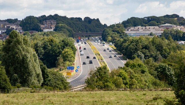
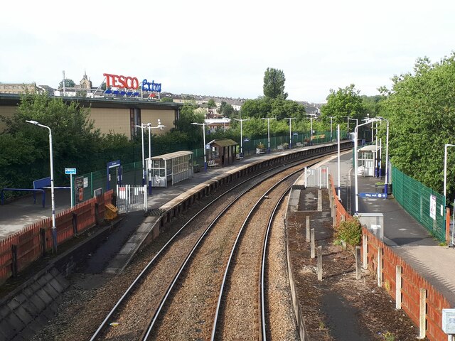
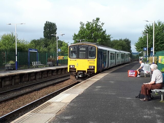
Church is well-connected to neighboring towns and cities, making it an attractive place to live for commuters. The M65 motorway, which runs through the town, provides easy access to nearby urban centers. Additionally, the town is served by a railway station, offering convenient transportation links to Blackburn, Manchester, and beyond.
Despite its modest size, Church boasts a range of amenities and services to cater to its residents' needs. There are several shops, supermarkets, restaurants, and pubs in the town, providing a variety of options for shopping and dining. The local schools have a good reputation, making Church an appealing place for families.
With its picturesque surroundings, historical significance, and convenient location, Church, Lancashire offers a peaceful yet well-connected lifestyle for its residents.
If you have any feedback on the listing, please let us know in the comments section below.
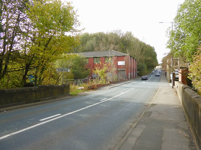
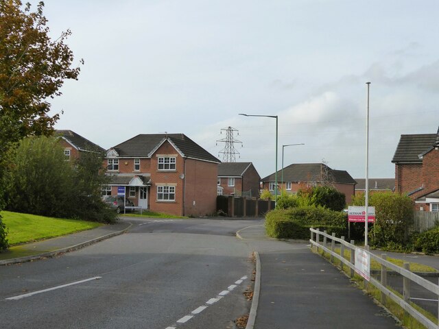
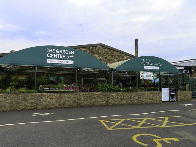
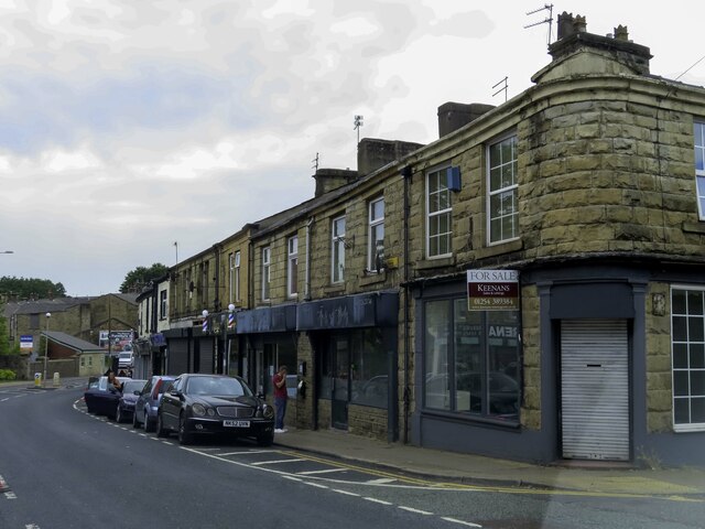
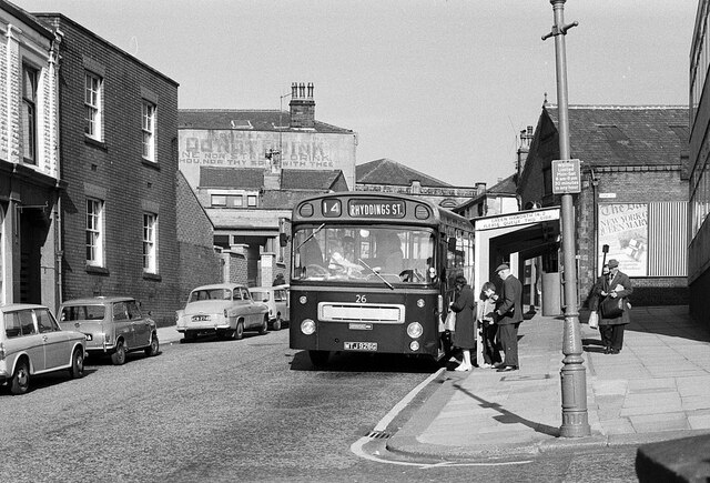
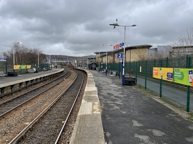
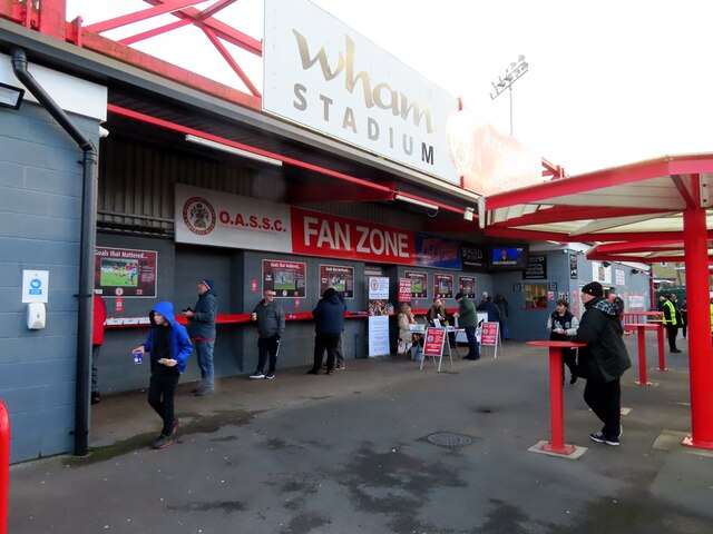
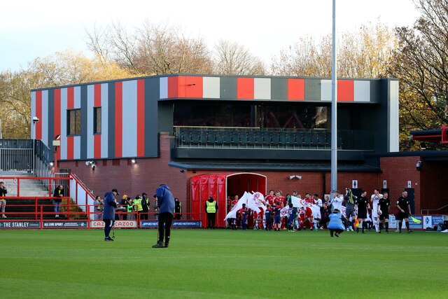
Church Images
Images are sourced within 2km of 53.757188/-2.385219 or Grid Reference SD7429. Thanks to Geograph Open Source API. All images are credited.

Church is located at Grid Ref: SD7429 (Lat: 53.757188, Lng: -2.385219)
Administrative County: Lancashire
District: Hyndburn
Police Authority: Lancashire
What 3 Words
///blog.slowly.goad. Near Church, Lancashire
Nearby Locations
Related Wikis

Church, Lancashire
Church is a large village in Hyndburn, Lancashire, England, situated one mile (1.6 km) west of Accrington. The village had a population of 5,186 at the...
St James' Church, Church Kirk
St James' Church is an redundant church in St James' Road, Church, Hyndburn, Lancashire, England. It was an active Anglican parish church in the deanery...

St Christopher's Church of England High School, Accrington
St Christopher's C of E High is a Church of England High School with academy status located north of Accrington in Lancashire, north-west England. The...

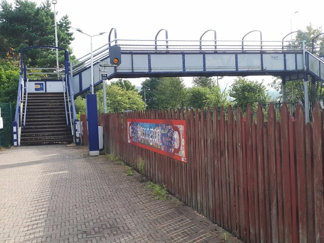
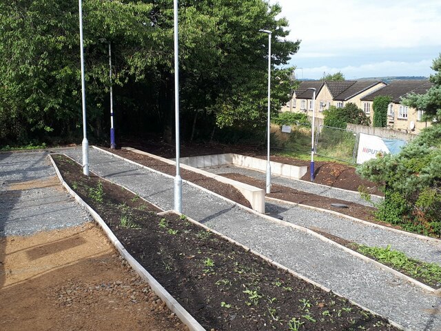
Church & Oswaldtwistle railway station
Church & Oswaldtwistle railway station serves both the village of Church and the town of Oswaldtwistle, in Lancashire, England. The station is 5+1⁄3 miles...
Nearby Amenities
Located within 500m of 53.757188,-2.385219Have you been to Church?
Leave your review of Church below (or comments, questions and feedback).