Crow Wood

Wood, Forest in Lancashire Hyndburn

England

Crow Wood

Norden Bridge Bridge No.107A on the Leeds and Liverpool Canal. It carries Harwood Road.
Norden Bridge Credit: Kevin Waterhouse

Crow Wood is a picturesque forest located in the county of Lancashire, England. Covering an area of approximately 200 acres, it is a popular destination for nature lovers and outdoor enthusiasts. The wood is characterized by its dense canopy of oak, birch, and pine trees, creating a serene and peaceful atmosphere for visitors to explore.

The forest is home to a diverse range of wildlife, including various bird species such as crows, woodpeckers, and owls. It is also inhabited by mammals like foxes, deer, and squirrels, making it a haven for animal enthusiasts and birdwatchers.

Crow Wood offers a network of well-maintained trails and paths, allowing visitors to easily navigate through the forest and enjoy its natural beauty. These trails are suitable for walking, jogging, and cycling, providing ample opportunities for outdoor activities.

In addition to its natural charm, Crow Wood also features several amenities for the convenience of its visitors. There are picnic areas with benches and tables, perfect for enjoying a packed lunch amidst the peaceful surroundings. The wood also has designated areas for barbecues, making it an ideal spot for family gatherings and social events.

Crow Wood is open year-round, offering different experiences in each season. In spring, the forest comes alive with vibrant blossoms and the songs of migrating birds. Summer brings lush greenery and warm sunny days, ideal for picnics and relaxation. In autumn, the forest transforms into a colorful spectacle as the leaves change into shades of red, orange, and gold. And in winter, a tranquil blanket of snow covers the wood, creating a magical winter wonderland.

Overall, Crow Wood is a natural gem in Lancashire, providing visitors with a peaceful escape from the hustle and bustle of everyday life.

If you have any feedback on the listing, please let us know in the comments section below.

Crow Wood Images

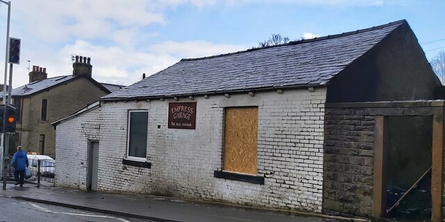
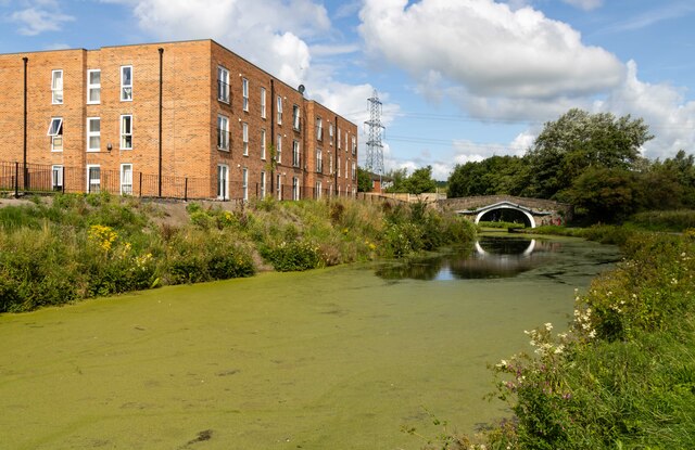
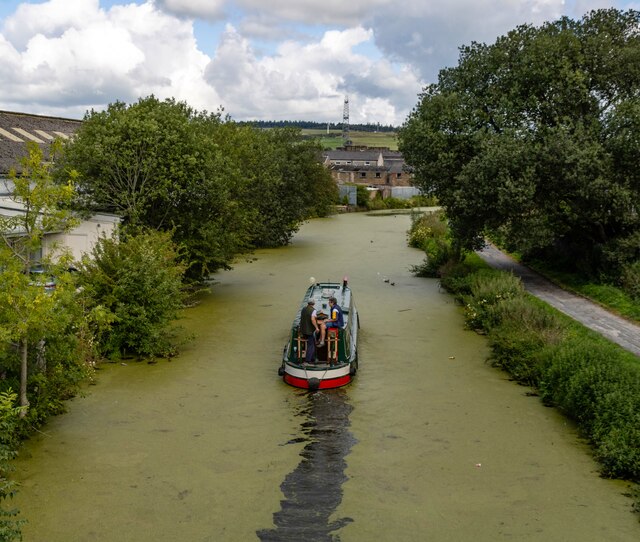
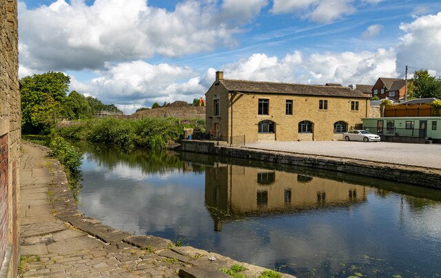
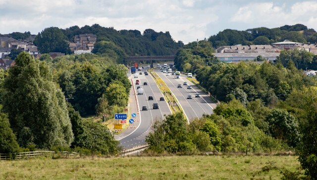
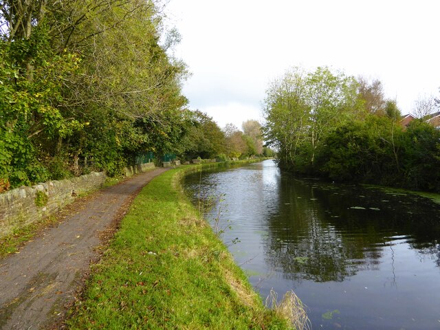
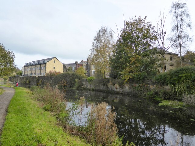
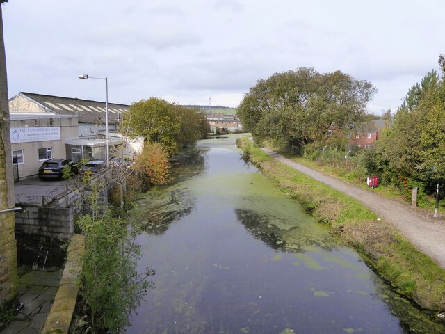
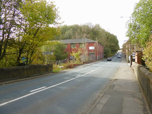
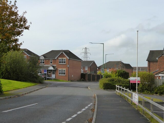
Images are sourced within 2km of 53.765245/-2.3956723 or Grid Reference SD7429. Thanks to Geograph Open Source API. All images are credited.

Norden Bridge Bridge No.107A on the Leeds and Liverpool Canal. It carries Harwood Road.
Norden Bridge
Bridge No.107A on the Leeds and Liverpool Canal. It carries Harwood Road.
Empress Garage
Empress Garage
Church of St. Peter & St. Paul, Rishton
Old Bridge Marker on the A680 Whalley Road Bridge Marker inscribed on two stones in the parapet of Whalley Road Bridge, Leeds and Liverpool Canal, on the east side of the A680 Whalley Road. In Clayton le Moors parish until 1974 when it was abolished.

Milestone Society National ID: LA_CLAYLM01br
Old Bridge Marker on the A680 Whalley Road
Bridge Marker inscribed on two stones in the parapet of Whalley Road Bridge, Leeds and Liverpool Canal, on the east side of the A680 Whalley Road. In Clayton le Moors parish until 1974 when it was abolished. Milestone Society National ID: LA_CLAYLM01br
Melrose House Melrose House in Rishton, alongside the Leeds & Liverpool Canal.
Melrose House
Melrose House in Rishton, alongside the Leeds & Liverpool Canal.
Leeds & Liverpool Canal The Leeds and Liverpool Canal is the longest canal in Northern England at 127 miles long. The first of the trans-Pennine canals it took 46 years to build at a cost of five times the original budget, mainly because of the length and complexity of the route. It passes through 91 locks with a summit level of 487 feet at Foulridge near Nelson and Colne. It was originally conceived in the 18th century to carry woollen goods from Leeds and Bradford and limestone from Skipton but in its 19th century heyday it carried stone, coal and many other goods. The impact of the railways was not as great as with other canals and commercial traffic continued along the main canal until 1964. Regular work stopped in 1972 when the movement of coal to Wigan Power Station ceased. In the latter part of the 20th century the leisure potential of the canal was developed and it is now a popular destination for cruising, fishing, walking and cycling. See <span class="nowrap"><a title="http://www.penninewaterways.co.uk/ll/index.htm" rel="nofollow ugc noopener" href="http://www.penninewaterways.co.uk/ll/index.htm">Link</a><img style="margin-left:2px;" alt="External link" title="External link - shift click to open in new window" src="https://s1.geograph.org.uk/img/external.png" width="10" height="10"/></span> for detailed information.
Leeds & Liverpool Canal
The Leeds and Liverpool Canal is the longest canal in Northern England at 127 miles long. The first of the trans-Pennine canals it took 46 years to build at a cost of five times the original budget, mainly because of the length and complexity of the route. It passes through 91 locks with a summit level of 487 feet at Foulridge near Nelson and Colne. It was originally conceived in the 18th century to carry woollen goods from Leeds and Bradford and limestone from Skipton but in its 19th century heyday it carried stone, coal and many other goods. The impact of the railways was not as great as with other canals and commercial traffic continued along the main canal until 1964. Regular work stopped in 1972 when the movement of coal to Wigan Power Station ceased. In the latter part of the 20th century the leisure potential of the canal was developed and it is now a popular destination for cruising, fishing, walking and cycling. See LinkExternal link for detailed information.
Leeds & Liverpool Canal The Leeds & Liverpool Canal at Enfield.
Leeds & Liverpool Canal
The Leeds & Liverpool Canal at Enfield.
M65 The M65 Motorway seen from the Leeds & Liverpool Canal.
M65
The M65 Motorway seen from the Leeds & Liverpool Canal.
Leeds and Liverpool Canal The towpath is approaching some green security fencing that comes down to the canal from the local school.
Leeds and Liverpool Canal
The towpath is approaching some green security fencing that comes down to the canal from the local school.
Leeds and Liverpool Canal Approaching Whalley Road Bridge with some old mill walling on the bank opposite the towpath
Leeds and Liverpool Canal
Approaching Whalley Road Bridge with some old mill walling on the bank opposite the towpath
Leeds and Liverpool Canal View from the bridge on Hermitage Street
Leeds and Liverpool Canal
View from the bridge on Hermitage Street
Entering Rishton on Hermitage Street At the end of Holt Mill Bridge with the former Rishton Paper Mill ahead and the climb up into Rishton
Entering Rishton on Hermitage Street
At the end of Holt Mill Bridge with the former Rishton Paper Mill ahead and the climb up into Rishton
Modern housing estate On Bold Venture Way near the boundary with Altham
Modern housing estate
On Bold Venture Way near the boundary with Altham
Rishton railway station, Lancashire Opened in 1853 by the East Lancashire Railway, later part of the Lancashire & Yorkshire Railway, on the line from Blackburn to Burnley. There may have also been a station open here for a few months in 1848.
View east, towards Church & Oswaldtwistle and Accrington. The station building and goods shed were formerly on the platform to the left and unusually, a goods siding ran where the houses on the far left now are, meaning that the footbridge was longer as it had to cross that as well. 
New waiting shelters have been provided since <a href="https://www.geograph.org.uk/photo/3204566">SD7229 : Rishton railway station, Lancashire</a> was taken on the left-hand platform.
Rishton railway station, Lancashire
Opened in 1853 by the East Lancashire Railway, later part of the Lancashire & Yorkshire Railway, on the line from Blackburn to Burnley. There may have also been a station open here for a few months in 1848. View east, towards Church & Oswaldtwistle and Accrington. The station building and goods shed were formerly on the platform to the left and unusually, a goods siding ran where the houses on the far left now are, meaning that the footbridge was longer as it had to cross that as well. New waiting shelters have been provided since SD7229 : Rishton railway station, Lancashire was taken on the left-hand platform.
The Fan Zone at the Wham Stadium The Wham Stadium is home to Accrington Stanley.
The Fan Zone at the Wham Stadium
The Wham Stadium is home to Accrington Stanley.
The dressing rooms at the Wham Stadium The Wham Stadium is home to Accrington Stanley.
The dressing rooms at the Wham Stadium
The Wham Stadium is home to Accrington Stanley.
The Farleys Solicitors Stand at the Wham Stadium The Wham Stadium is home to Accrington Stanley.
The Farleys Solicitors Stand at the Wham Stadium
The Wham Stadium is home to Accrington Stanley.
The Eric Whalley Stand at the Wham Stadium The Wham Stadium is home to Accrington Stanley.
The Eric Whalley Stand at the Wham Stadium
The Wham Stadium is home to Accrington Stanley.
Show me another place!

Crow Wood is located at Grid Ref: SD7429 (Lat: 53.765245, Lng: -2.3956723)

Administrative County: Lancashire

District: Hyndburn

Police Authority: Lancashire

What 3 Words

///duck.grace.chains. Near Clayton le Moors, Lancashire

Related Wikis

The Bee (radio station)

The Bee was an Independent Local Radio station serving southern and eastern parts of Lancashire, England. On Friday 27 May 2016, The Bee merged with its...

St James' Church, Church Kirk

St James' Church is an redundant church in St James' Road, Church, Hyndburn, Lancashire, England. It was an active Anglican parish church in the deanery...

Hyndburn (UK Parliament constituency)

Hyndburn is a constituency in Lancashire represented in the House of Commons of the UK Parliament since 2019 by Sara Britcliffe of the Conservative Party...

Hyndburn

Hyndburn is a local government district with borough status in Lancashire, England. Its council is based in Accrington, the largest town, and the borough...

Nearby Amenities

Located within 500m of 53.765245,-2.3956723
Motorway Junction
Hyndburn Interchange
Ref: 7
Lat/Long: 53.7628935/-2.399155
Traffic Signals
Traffic Signals: signal
Traffic Signals Direction: forward
Lat/Long: 53.766622/-2.3918071
Traffic Signals
Traffic Signals: crossing
Traffic Signals Direction: forward
Lat/Long: 53.7666118/-2.3908644
Crossing
Crossing: traffic_signals
Crossing Island: no
Crossing Ref: toucan
Tactile Paving: yes
Lat/Long: 53.7666142/-2.3908186
Traffic Signals
Traffic Signals: signal
Lat/Long: 53.7658096/-2.3899799
Traffic Signals
Traffic Signals: signal
Traffic Signals Direction: forward
Lat/Long: 53.7649516/-2.390459
Traffic Signals
Traffic Signals: signal
Traffic Signals Direction: forward
Lat/Long: 53.7658014/-2.3923985
Traffic Signals
Traffic Signals: signal
Lat/Long: 53.7683752/-2.3928198
Traffic Signals
Traffic Signals: signal
Lat/Long: 53.7683043/-2.3920488
Traffic Signals
Traffic Signals: signal
Lat/Long: 53.7658833/-2.3897621
Post Box
Post Box Type: meter
Lat/Long: 53.7685049/-2.3915111
Post Box
Post Box Type: pillar
Lat/Long: 53.7685113/-2.391452
Bus Stop
Dunkenhalgh Way
Bus: yes
Naptan AtcoCode: 2500IMG2301
Naptan NaptanCode: langapgt
Public Transport: platform
Lat/Long: 53.7684408/-2.3915146
Traffic Signals
Traffic Signals: crossing
Traffic Signals Direction: forward
Lat/Long: 53.7651586/-2.3899584
Traffic Signals
Traffic Signals: signal
Lat/Long: 53.7681054/-2.3925039
Traffic Signals
Traffic Signals: signal
Traffic Signals Direction: forward
Lat/Long: 53.7665034/-2.391789
Crossing
Crossing: traffic_signals
Crossing Ref: puffin
Kerb: lowered
Tactile Paving: yes
Lat/Long: 53.768131/-2.3923436
Bus Stop
Dunkenhalgh Way
Bus: yes
Public Transport: platform
Lat/Long: 53.7683441/-2.3935185
Crossing
Crossing: traffic_signals
Crossing Ref: puffin
Kerb: lowered
Tactile Paving: yes
Lat/Long: 53.7683808/-2.3927571
Crossing
Crossing: traffic_signals
Crossing Ref: puffin
Kerb: lowered
Tactile Paving: yes
Lat/Long: 53.768307/-2.3926646
Crossing
Crossing: traffic_signals
Crossing Ref: puffin
Kerb: lowered
Tactile Paving: yes
Lat/Long: 53.7683784/-2.392188
Crossing
Crossing: traffic_signals
Crossing Ref: puffin
Kerb: lowered
Tactile Paving: yes
Lat/Long: 53.7682964/-2.3921785
Crossing
Crossing: traffic_signals
Crossing Ref: puffin
Kerb: lowered
Tactile Paving: yes
Lat/Long: 53.7684489/-2.3923738
Crossing
Crossing: traffic_signals
Crossing Ref: puffin
Kerb: lowered
Tactile Paving: yes
Lat/Long: 53.7685052/-2.3925257
Traffic Signals
Traffic Signals: signal
Traffic Signals Direction: forward
Lat/Long: 53.7657961/-2.3921814
Traffic Signals
Traffic Signals: signal
Traffic Signals Direction: forward
Lat/Long: 53.7651038/-2.3905248
Crossing
Crossing: unmarked
Crossing Island: no
Tactile Paving: no
Lat/Long: 53.7656738/-2.3897488
Crossing
Crossing: traffic_signals
Crossing Island: no
Crossing Ref: toucan
Tactile Paving: yes
Lat/Long: 53.7658281/-2.3897897
Crossing
Crossing: traffic_signals
Crossing Island: yes
Crossing Ref: toucan
Tactile Paving: yes
Lat/Long: 53.7651168/-2.3899684
Crossing
Crossing: traffic_signals
Crossing Island: yes
Crossing Ref: toucan
Tactile Paving: yes
Lat/Long: 53.7649818/-2.3905163
Traffic Signals
Traffic Signals: signal
Lat/Long: 53.7684723/-2.3923771
Cycleway: asl
Lat/Long: 53.7681507/-2.3925106
Crossing
Crossing: traffic_signals
Crossing Ref: puffin
Kerb: lowered
Tactile Paving: yes
Lat/Long: 53.7681959/-2.3925172
Phone
Emergency: phone
Indoor: no
Operator: National Highways
Operator Type: government
Operator Wikidata: Q5760006
Ref: 4232 B
Lat/Long: 53.7656299/-2.3911003
Phone
Emergency: phone
Indoor: no
Operator: National Highways
Operator Type: government
Operator Wikidata: Q5760006
Ref: 4232 A
Lat/Long: 53.7658697/-2.3914222
The data included in this document is from www.openstreetmap.org. The data is made available under ODbL.

Have you been to Crow Wood?

Leave your review of Crow Wood below (or comments, questions and feedback).