Chuck Hatch

Settlement in Sussex Wealdon

England

Chuck Hatch

AA Milne memorial Memorial to AA Milne on the Ashdown Forest near Gills Lap
AA Milne memorial Credit: Ben Gamble

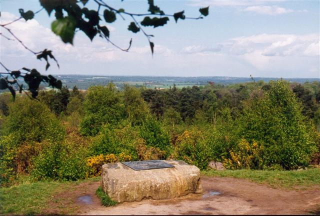
Chuck Hatch is a small village located in the county of Sussex, England. Situated within the High Weald Area of Outstanding Natural Beauty, this picturesque village is surrounded by rolling hills, lush woodlands, and scenic countryside. It falls under the jurisdiction of the Wealden District Council.

With a population of around 300 residents, Chuck Hatch exudes a tranquil and close-knit community atmosphere. The village is primarily residential, consisting of charming cottages and traditional houses, many of which boast stunning gardens and well-maintained landscapes. The architectural style of the buildings is quintessentially English, contributing to the village's idyllic charm.

Despite its modest size, Chuck Hatch offers several amenities to its residents and visitors. The village features a local pub, known for its friendly ambiance and traditional British fare. Additionally, a small convenience store caters to the daily needs of the community. The presence of these amenities fosters a sense of convenience and accessibility within the village.

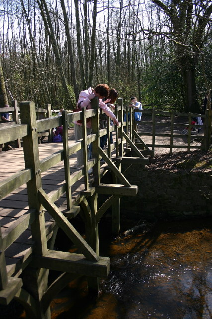
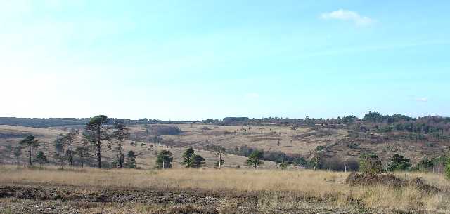
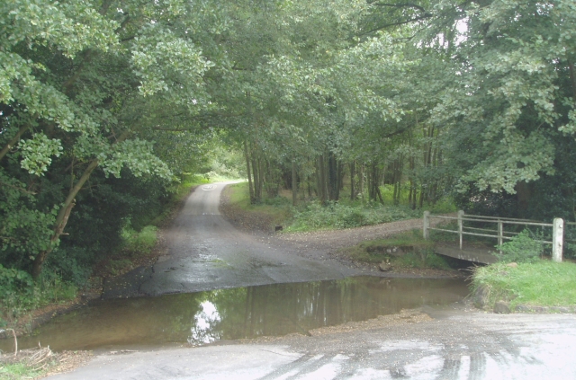
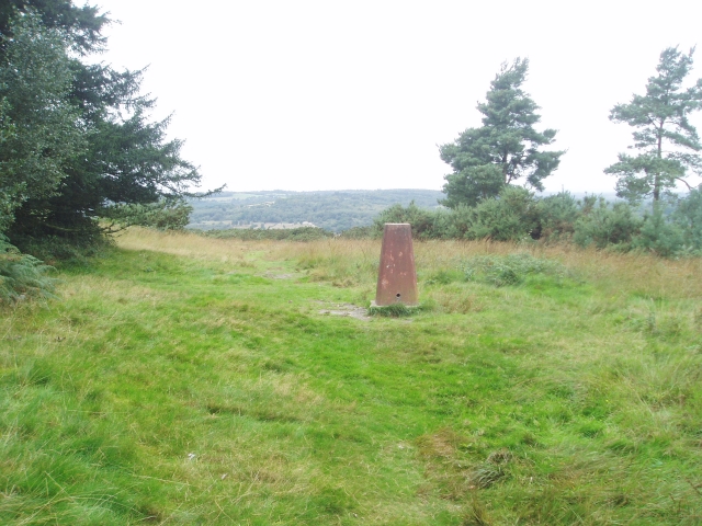
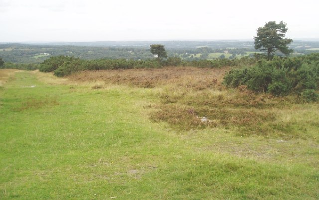
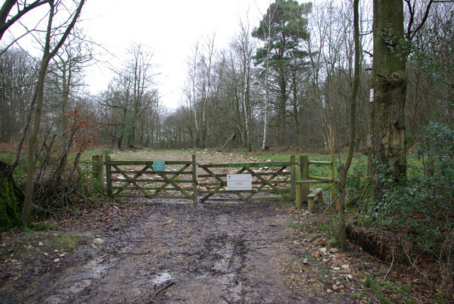
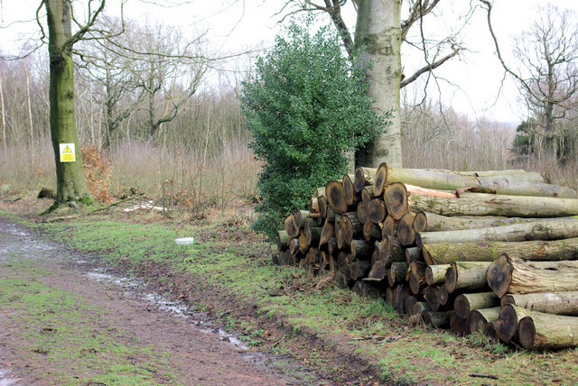
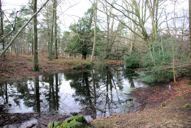
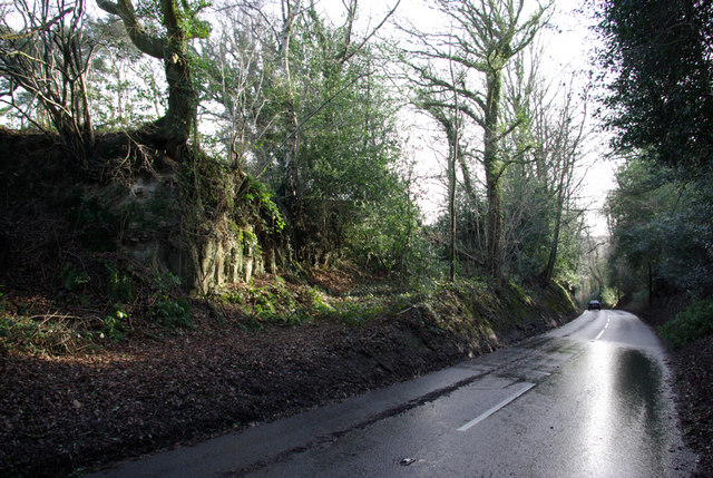
Chuck Hatch's location within the High Weald Area of Outstanding Natural Beauty makes it an ideal destination for nature lovers and outdoor enthusiasts. The surrounding countryside provides ample opportunities for activities such as hiking, cycling, and horseback riding. The area is also renowned for its scenic viewpoints and nature trails, offering breathtaking vistas of the surrounding landscape.

Overall, Chuck Hatch epitomizes the quintessential English village, boasting a tranquil and picturesque setting, a tight-knit community, and easy access to the stunning natural beauty of the High Weald.

If you have any feedback on the listing, please let us know in the comments section below.
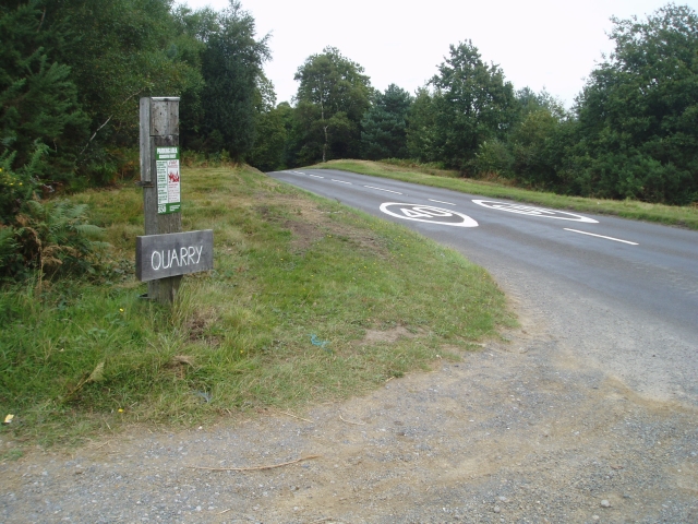
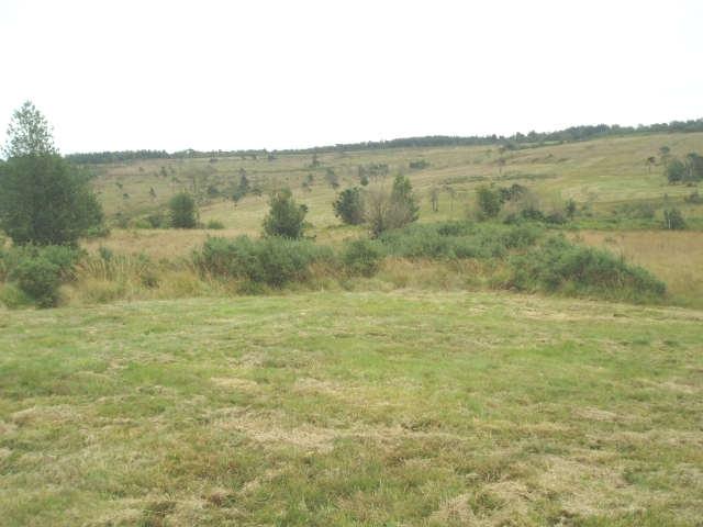
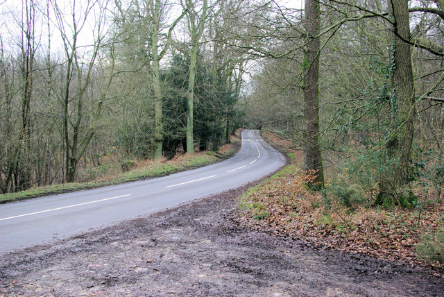
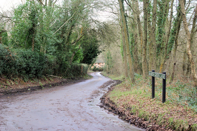
Chuck Hatch Images

Images are sourced within 2km of 51.078725/0.10200567 or Grid Reference TQ4733. Thanks to Geograph Open Source API. All images are credited.

AA Milne memorial Memorial to AA Milne on the Ashdown Forest near Gills Lap
AA Milne memorial
Memorial to AA Milne on the Ashdown Forest near Gills Lap
Sunset near Tile Lodge, Ashdown Forest
Pooh Sticks Bridge, Ashdown Forest AA Milne's famous bridge.
Pooh Sticks Bridge, Ashdown Forest
AA Milne's famous bridge.
Ashdown Forest - Winnie The Pooh Territory This view is taken from the NE corner of grid square TQ4731, looking towards the south west, and shows most of the area. This part of Ashdown Forest is characterised by rough grassland and heather, with scattered mature trees. On the skyline to the right is Gills Lap, a commanding viewpoint and the location of a memorial to A.A. Milne. Milne based the Winnie the Pooh stories in this area of Sussex
Ashdown Forest - Winnie The Pooh Territory
This view is taken from the NE corner of grid square TQ4731, looking towards the south west, and shows most of the area. This part of Ashdown Forest is characterised by rough grassland and heather, with scattered mature trees. On the skyline to the right is Gills Lap, a commanding viewpoint and the location of a memorial to A.A. Milne. Milne based the Winnie the Pooh stories in this area of Sussex
Ford Almost in the centre of this grid Square is the Ford
Ford
Almost in the centre of this grid Square is the Ford
Trig Point next to Gill's Lap This is Winnie the Pooh country. The clump of trees near this trig point was "Enchanted Place" in the story. Christopher Robin could sit down here without getting prickled, unlike the rest of the forest !
Trig Point next to Gill's Lap
This is Winnie the Pooh country. The clump of trees near this trig point was "Enchanted Place" in the story. Christopher Robin could sit down here without getting prickled, unlike the rest of the forest !
View to the north west from Gill's Lap The views to the North Downs are excellent from this area.
View to the north west from Gill's Lap
The views to the North Downs are excellent from this area.
A.A.Milne & E.H.Shepard memorial plaque "and by and by they came to an enchanted place on the very top of the Forest called Galleons Lap."
A.A.Milne & E.H.Shepard memorial plaque
"and by and by they came to an enchanted place on the very top of the Forest called Galleons Lap."
Sandpit where Roo played In the Winnie the Pooh books, Roo played in this 'Sandpit' closely guarded by his mother, Kanga.
Sandpit where Roo played
In the Winnie the Pooh books, Roo played in this 'Sandpit' closely guarded by his mother, Kanga.
Quarry car park entrance This is the nearest car park to the A.A.Milne memorial
Quarry car park entrance
This is the nearest car park to the A.A.Milne memorial
Eeyore's Gloomy Place The "rather boggy and sad place" in the lower ground is called "Eeyore's Gloomy Place" in the Winnie the Pooh stories
Eeyore's Gloomy Place
The "rather boggy and sad place" in the lower ground is called "Eeyore's Gloomy Place" in the Winnie the Pooh stories
Fagot Stack Corner on B2188 Fagots are rarely seen here now, but stacks occur in 500 Acre Wood behind the photographer.
Fagot Stack Corner on B2188
Fagots are rarely seen here now, but stacks occur in 500 Acre Wood behind the photographer.
Marsh Green Lane Viewed from its eastern end.
Marsh Green Lane
Viewed from its eastern end.
Gateway to 500 Acre Wood The stile is for permitted access to this wood. The public footpath through the woods starts some yards to the right. Timber was shipped out through here recently, hence the hard standing laid down and still looking rather raw.
Gateway to 500 Acre Wood
The stile is for permitted access to this wood. The public footpath through the woods starts some yards to the right. Timber was shipped out through here recently, hence the hard standing laid down and still looking rather raw.
Forestry - 500 Acre Wood Beside the public footpath through the wood.
Forestry - 500 Acre Wood
Beside the public footpath through the wood.
Pond, 500 Acre Wood Possibly resulting from ironstone digging.
Pond, 500 Acre Wood
Possibly resulting from ironstone digging.
B2026 South of Hartfield Looking north. Rock of the Ashdown Beds exposed on left.
B2026 South of Hartfield
Looking north. Rock of the Ashdown Beds exposed on left.
Cotchford Lane Looking towards Upper Hartfield.
Cotchford Lane
Looking towards Upper Hartfield.
Show me another place!

Chuck Hatch is located at Grid Ref: TQ4733 (Lat: 51.078725, Lng: 0.10200567)

Administrative County: East Sussex

District: Wealdon

Police Authority: Sussex

What 3 Words

///solid.jubilant.ordinary. Near Crowborough, East Sussex

Related Wikis

Cotchford Farm

Cotchford Farm is a farmhouse building to the southwest of the village of Hartfield, East Sussex, in the High Weald Area of Outstanding Natural Beauty...

Upper Hartfield

Upper Hartfield is a small village slightly west of Hartfield in East Sussex, England. The Tudor house "Apedroc" in Upper Hartfield is the former home...
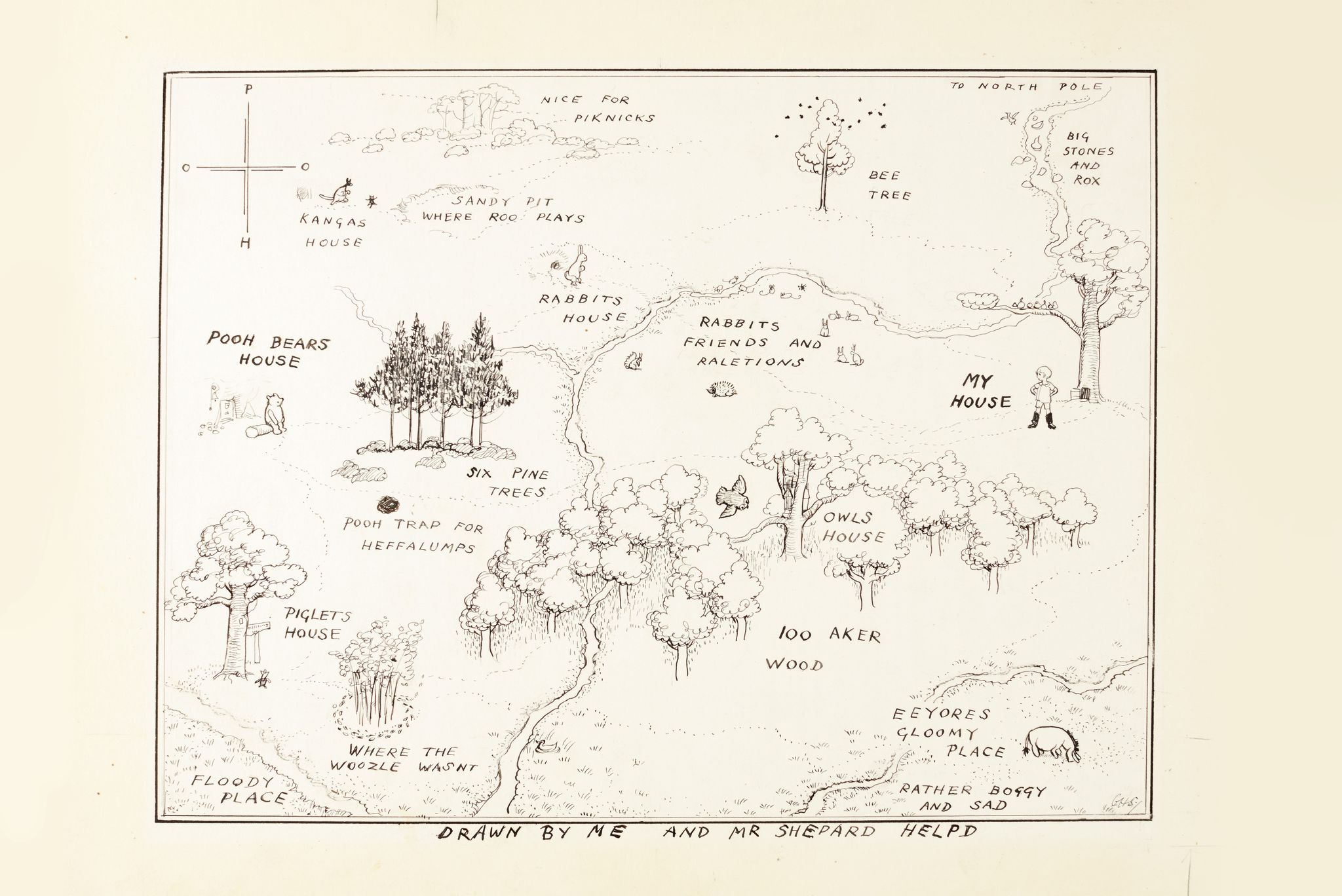
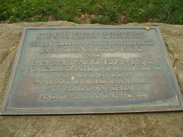
Hundred Acre Wood

The Hundred Acre Wood (also spelled as 100 Aker Wood, Hundred-Acre Wood, and 100 Acre Wood; also known as simply "The Wood") is a part of the fictional...

Withyham Priory

Withyham Priory was a Benedictine monastic house in East Sussex, extant in 1086 and dissolved in 1413. == History == Robert, Count of Mortain, some time...

Hartfield

Hartfield is a village and civil parish in the Wealden district of East Sussex, England. The parish also includes the settlements of Colemans Hatch, Hammerwood...

Old Lodge

Old Lodge is a 103.1-hectare (255-acre) Local Nature Reserve west of Crowborough in East Sussex. It is privately owned. It is managed by Sussex Wildlife...

Hartfield railway station

Hartfield was a railway station serving Hartfield, England, on the Three Bridges to Tunbridge Wells Central Line which closed in 1967, a casualty of the...

Withyham

Withyham is a village and large civil parish in the Wealden district of East Sussex, England. The village is situated 7 miles south west of Royal Tunbridge...

Nearby Amenities

Located within 500m of 51.078725,0.10200567
Barrier: swing_gate
Bicycle: yes
Foot: yes
Motor Vehicle: private
Lat/Long: 51.0794158/0.1002203
Bench
Source: Survey
Lat/Long: 51.0810381/0.0996892
Ashdown Forest Boundary Sign
Board Type: welcome_sign
Information: board
Tourism: information
Lat/Long: 51.0785326/0.10181
Post Box
Operator: Royal Mail
Post Box Type: wall
Ref: TN7 166
Royal Cypher: EVIIR
Royal Cypher Wikidata: Q33102324
Lat/Long: 51.0790202/0.1028326
Chuck Hatch
Place: hamlet
Lat/Long: 51.0788068/0.1031772
Barrier: stile
Lat/Long: 51.0826311/0.099497
The data included in this document is from www.openstreetmap.org. The data is made available under ODbL.

Have you been to Chuck Hatch?

Leave your review of Chuck Hatch below (or comments, questions and feedback).