Hopping Tom's Rough
Wood, Forest in Sussex Wealden
England
Hopping Tom's Rough
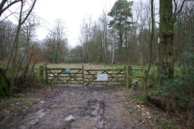
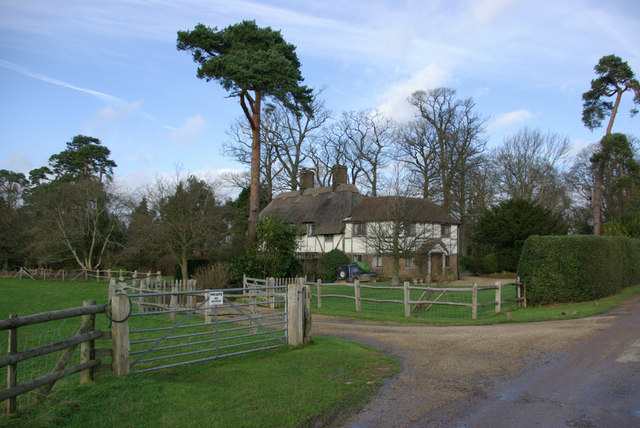
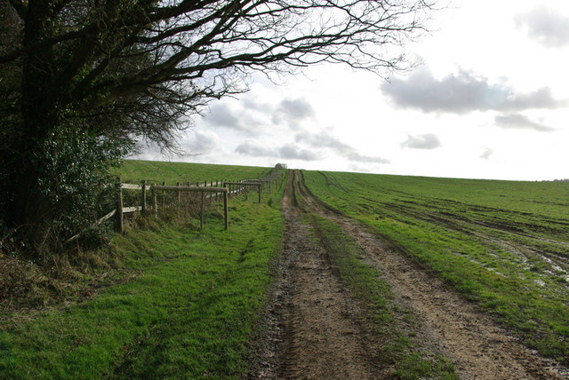
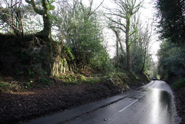
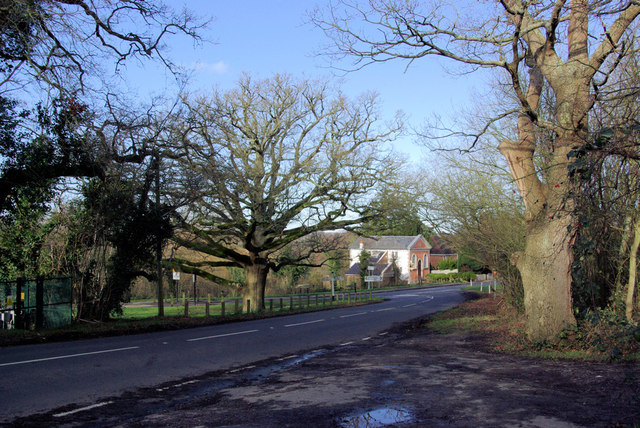
Hopping Tom's Rough is a dense woodland located in Sussex, England. Covering an area of approximately 100 acres, it is known for its rustic and rugged charm. The woodland is situated in the heart of Sussex, surrounded by picturesque countryside and stunning natural beauty.
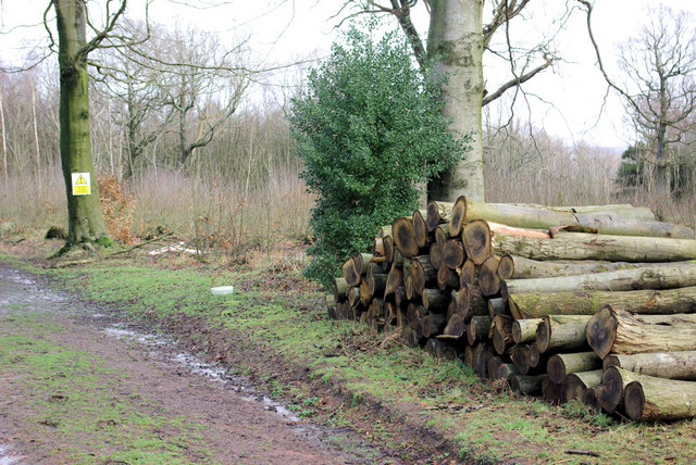
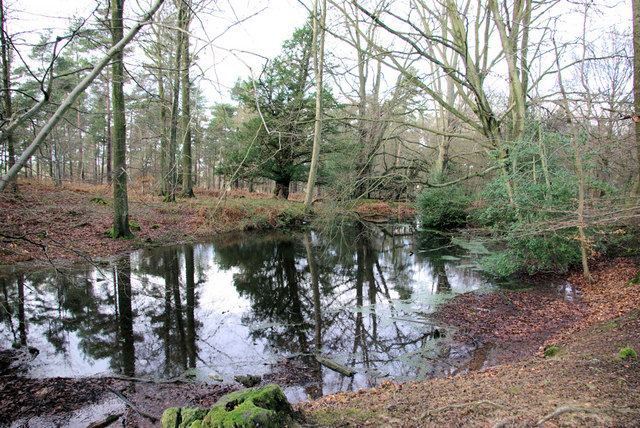
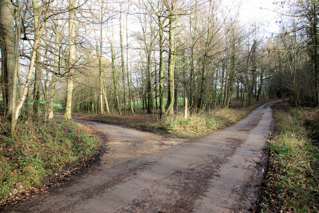
The forest is predominantly made up of a mixture of broadleaf and coniferous trees, including oak, beech, pine, and spruce, creating a diverse and vibrant ecosystem. These trees provide a rich habitat for a variety of wildlife, including deer, foxes, rabbits, and numerous bird species.
Hopping Tom's Rough is a popular destination for nature enthusiasts and outdoor adventurers. The forest offers a range of activities, including hiking, cycling, and wildlife spotting. There are several well-maintained walking trails that meander through the woodland, providing visitors with opportunities to explore and immerse themselves in the tranquil surroundings.
In addition to its natural beauty, the forest has a rich historical significance. It is believed to have been used for timber production during medieval times, and remnants of ancient woodlands can still be seen in certain areas. The peaceful ambiance and sense of tranquility that permeates Hopping Tom's Rough make it an ideal destination for those seeking a retreat from the hustle and bustle of everyday life.
Overall, Hopping Tom's Rough in Sussex is a breathtaking woodland that offers a perfect blend of natural beauty, recreational activities, and historical significance. Whether you are a nature lover, a history enthusiast, or simply seeking a peaceful escape, this forest is sure to captivate your senses.
If you have any feedback on the listing, please let us know in the comments section below.
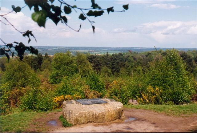
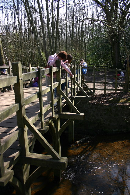
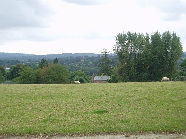
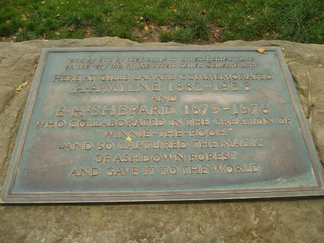
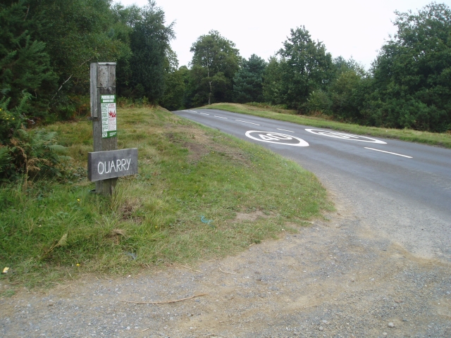
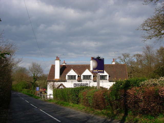
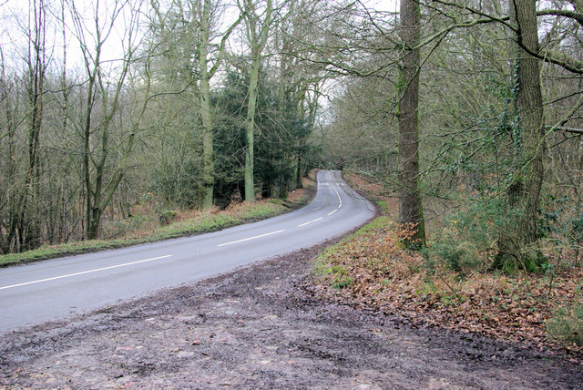
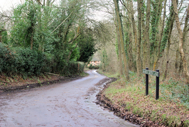
Hopping Tom's Rough Images
Images are sourced within 2km of 51.083882/0.11080655 or Grid Reference TQ4733. Thanks to Geograph Open Source API. All images are credited.


Hopping Tom's Rough is located at Grid Ref: TQ4733 (Lat: 51.083882, Lng: 0.11080655)
Administrative County: East Sussex
District: Wealden
Police Authority: Sussex
What 3 Words
///gather.seagulls.folders. Near Crowborough, East Sussex
Nearby Locations
Related Wikis

Cotchford Farm
Cotchford Farm is a farmhouse building to the southwest of the village of Hartfield, East Sussex, in the High Weald Area of Outstanding Natural Beauty...
Withyham Priory
Withyham Priory was a Benedictine monastic house in East Sussex, extant in 1086 and dissolved in 1413. == History == Robert, Count of Mortain, some time...

Upper Hartfield
Upper Hartfield is a small village slightly west of Hartfield in East Sussex, England. The Tudor house "Apedroc" in Upper Hartfield is the former home...

Hartfield
Hartfield is a village and civil parish in the Wealden district of East Sussex, England. The parish also includes the settlements of Colemans Hatch, Hammerwood...

Withyham
Withyham is a village and large civil parish in the Wealden district of East Sussex, England. The village is situated 7 miles south west of Royal Tunbridge...
Oliver Sutton (RAF officer)
Captain Oliver Manners Sutton (12 March 1896 – 16 August 1921) was a British First World War flying ace credited with seven aerial victories. == Family... ==

Hartfield railway station
Hartfield was a railway station serving Hartfield, England, on the Three Bridges to Tunbridge Wells Central Line which closed in 1967, a casualty of the...

Buckhurst Park, East Sussex
Buckhurst Park is an English country house and landscaped park in Withyham, East Sussex. It is the seat of William Sackville, 11th Earl De La Warr.The...
Nearby Amenities
Located within 500m of 51.083882,0.11080655Have you been to Hopping Tom's Rough?
Leave your review of Hopping Tom's Rough below (or comments, questions and feedback).