Lower Hazelwood Plantation

Wood, Forest in Devon South Hams

England

Lower Hazelwood Plantation

Storridge Court Farm From the public access route to Cleave.
Storridge Court Farm Credit: Derek Harper

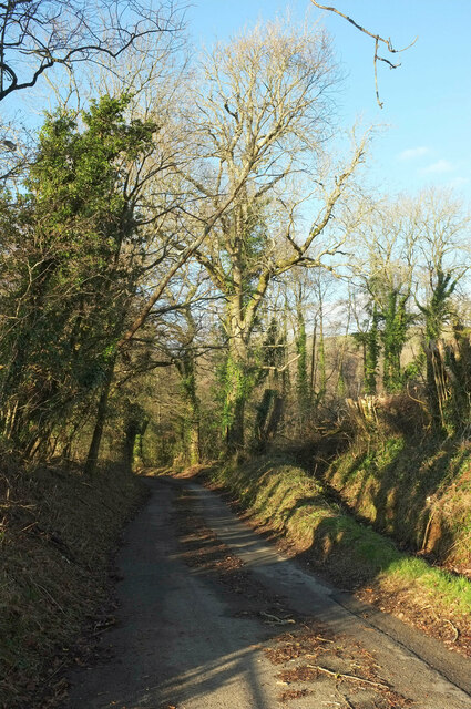
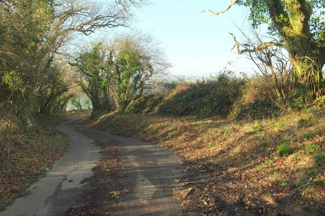
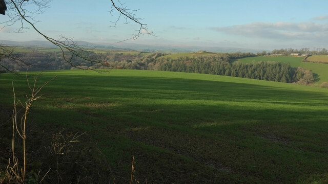
Lower Hazelwood Plantation is a picturesque woodland area located in Devon, England. Situated amidst the charming countryside, this plantation spans over a vast area and is known for its dense and diverse forest cover. The plantation is renowned for its natural beauty, making it a popular destination for nature lovers and outdoor enthusiasts.

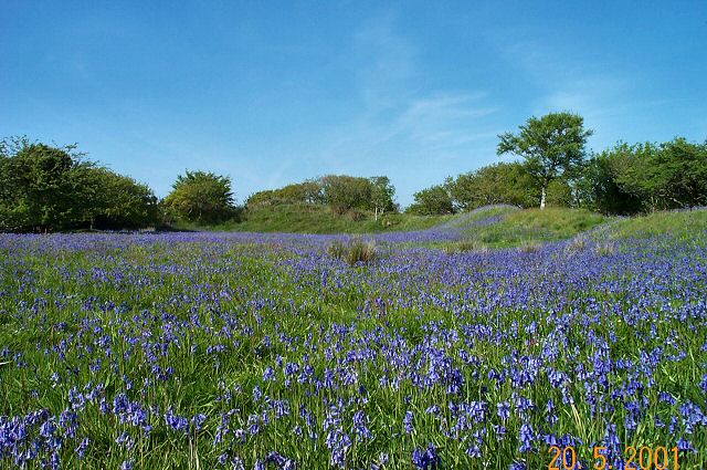
The woodland comprises a variety of tree species, including oak, beech, birch, and pine, creating a rich and vibrant ecosystem. The trees tower majestically, forming a canopy that provides shade and shelter for a wide range of flora and fauna. The forest floor is carpeted with a lush layer of ferns, wildflowers, and mosses, further enhancing the enchanting atmosphere.

Lower Hazelwood Plantation is home to an array of wildlife, making it a haven for animal enthusiasts. Birdwatchers can spot various species, including woodpeckers, owls, and songbirds. The woodland is also inhabited by small mammals like squirrels, rabbits, and foxes. With its diverse ecosystem, the plantation supports a fragile balance between predator and prey, creating a harmonious environment.

Visitors can explore the plantation through numerous trails and pathways that wind through the forest, allowing them to immerse themselves in the tranquil surroundings. The serene atmosphere and breathtaking scenery make it an ideal location for activities such as walking, hiking, and picnicking.

Lower Hazelwood Plantation, with its natural beauty and abundant wildlife, offers a peaceful retreat from the hustle and bustle of everyday life. It stands as a testament to the importance of preserving and appreciating the wonders of the natural world.

If you have any feedback on the listing, please let us know in the comments section below.

Lower Hazelwood Plantation Images

Images are sourced within 2km of 50.36256/-3.7927777 or Grid Reference SX7252. Thanks to Geograph Open Source API. All images are credited.

Storridge Court Farm From the public access route to Cleave.
Storridge Court Farm
From the public access route to Cleave.
Canny Park Wood From a lane near High Marks Barn across a field.
Canny Park Wood
From a lane near High Marks Barn across a field.
Lane at Topsham Bridge The lane soon climbs away from the River Avon to Combe Cross on the B3196.
Lane at Topsham Bridge
The lane soon climbs away from the River Avon to Combe Cross on the B3196.
Lupridge Farm With colourfully-rusty barns seen from the lane from California Cross.
Lupridge Farm
With colourfully-rusty barns seen from the lane from California Cross.
Sheep at Ley On the other side of the lane from the farm drive.
Sheep at Ley
On the other side of the lane from the farm drive.
Penson Farm With the Avon valley and the wooded Wheeldon Hills in the background. The C17 farmhouse (right) is listed <span class="nowrap"><a title="https://historicengland.org.uk/listing/the-list/list-entry/1216337?section=official-list-entry" rel="nofollow ugc noopener" href="https://historicengland.org.uk/listing/the-list/list-entry/1216337?section=official-list-entry">Link</a><img style="margin-left:2px;" alt="External link" title="External link - shift click to open in new window" src="https://s1.geograph.org.uk/img/external.png" width="10" height="10"/></span> .
Penson Farm
With the Avon valley and the wooded Wheeldon Hills in the background. The C17 farmhouse (right) is listed LinkExternal link .
Across the Cock's Brook valley From where <a href="https://www.geograph.org.uk/photo/7387182">SX7353 : Storridge Court Farm</a> was taken, looking over Emeridge Wood and an unnamed plantation towards Curtisknowle.
Across the Cock's Brook valley
From where SX7353 : Storridge Court Farm was taken, looking over Emeridge Wood and an unnamed plantation towards Curtisknowle.
Across the Cock's Brook valley Looking right from <a href="https://www.geograph.org.uk/photo/7392915">SX7353 : Across the Cock's Brook valley</a>.
Across the Cock's Brook valley
Road past Storridge Court Farm Beginning a long ascent to Moreleigh.
Road past Storridge Court Farm
Beginning a long ascent to Moreleigh.
Lane, Upper Common The lane from Preston Combe descending into the Avon valley.
Lane, Upper Common
The lane from Preston Combe descending into the Avon valley.
Pasture by Upper Common Looking left from <a href="https://www.geograph.org.uk/photo/7392936">SX7352 : Lane, Upper Common</a> towards the Avon valley.
Pasture by Upper Common
Looking left from SX7352 : Lane, Upper Common towards the Avon valley.
Pasture by Upper Common Looking left from <a href="https://www.geograph.org.uk/photo/7393430">SX7352 : Pasture by Upper Common</a>. In the background is Storridge Wood.
Pasture by Upper Common
Looking left from SX7352 : Pasture by Upper Common. In the background is Storridge Wood.
Lane near High Marks Barn A lane leading down to the Avon valley from Preston Combe.
Lane near High Marks Barn
A lane leading down to the Avon valley from Preston Combe.
Shadows near High Marks Barn From a gateway on the right of <a href="https://www.geograph.org.uk/photo/7393564">SX7352 : Lane near High Marks Barn</a>, with a view over the Cock's Brook valley.
Shadows near High Marks Barn
From a gateway on the right of SX7352 : Lane near High Marks Barn, with a view over the Cock's Brook valley.
Canny Park Wood Looking left from <a href="https://www.geograph.org.uk/photo/7387554">SX7352 : Canny Park Wood</a>.
Canny Park Wood
Looking left from SX7352 : Canny Park Wood.
Towards the Avon valley Looking left from <a href="https://www.geograph.org.uk/photo/7393581">SX7352 : Canny Park Wood</a>, and so towards the junction of the Avon with the Cock's Brook on the right.
Towards the Avon valley
Looking left from SX7352 : Canny Park Wood, and so towards the junction of the Avon with the Cock's Brook on the right.
Green lane near Preston Combe A sunny winter version of the misty summer scene in <a href="https://www.geograph.org.uk/photo/3043423">SX7452 : Trees along the green lane near Preston Combe</a>. The track is the parish boundary between Diptford (left) and Woodleigh.
Green lane near Preston Combe
A sunny winter version of the misty summer scene in SX7452 : Trees along the green lane near Preston Combe. The track is the parish boundary between Diptford (left) and Woodleigh.
Lane at Preston Combe The driveway from the house meets the lane to Prestpn Cross.
Lane at Preston Combe
The driveway from the house meets the lane to Prestpn Cross.
Show me another place!

Lower Hazelwood Plantation is located at Grid Ref: SX7252 (Lat: 50.36256, Lng: -3.7927777)

Administrative County: Devon

District: South Hams

Police Authority: Devon and Cornwall

What 3 Words

///drill.rates.tentacles. Near Modbury, Devon

Related Wikis

Gara Bridge railway station

Gara Bridge railway station was a station on the Kingsbridge branch of the GWR. == History == The station opened on the 19 December 1893 when the Great...

Blackdown Rings

The Blackdown Rings are the earthworks of an Iron Age hill fort near the hamlet of Hazelwood in Devon, England. The fort is situated on a hilltop approximately...

Andrew's Wood

Andrews Wood, (near Modbury in Devon), is a nature reserve managed by the Devon Wildlife Trust.It is also a 23.5 hectare biological Site of Special Scientific...

Woodleigh, Devon

Woodleigh is a village, parish and former manor located in the South Hams region of the county of Devon, England. In 2011 the parish had a population of...

Diptford

Diptford is a village in the county of Devon, England. It is perched on a hill overlooking the River Avon. The name is believed to come from "deep ford...
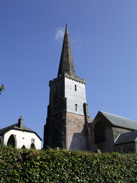
Brownston

Brownston is a hamlet in Devon, England. It is located within Modbury Parish. Its church (dedicated to St John the Baptist) is now a private home and was...
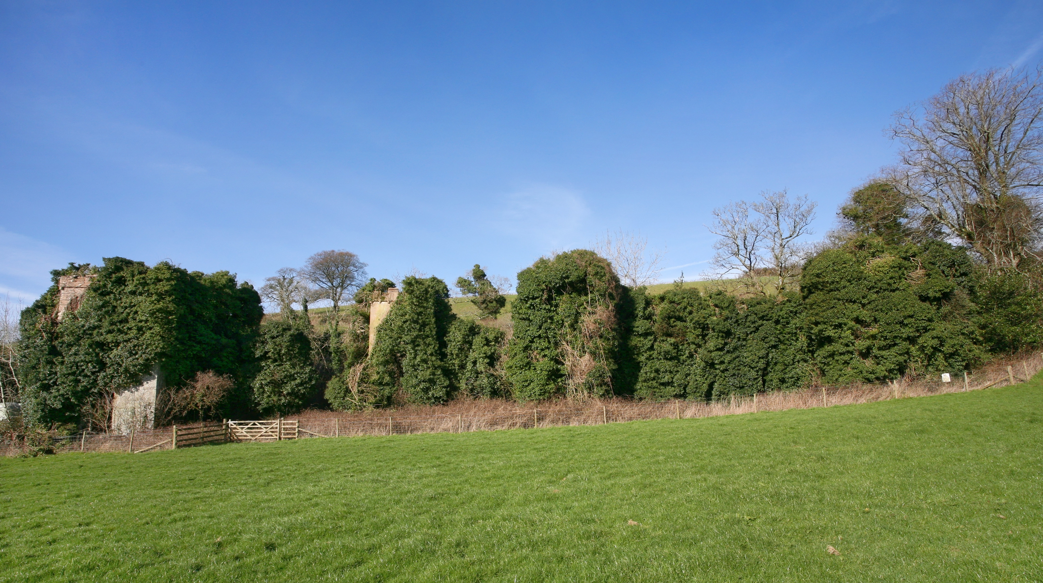
Fowelscombe

Fowelscombe is a historic manor in the parish of Ugborough in Devon, England. The large ancient manor house known as Fowelscombe House survives only as...

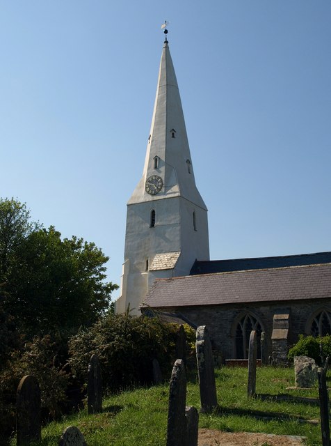
St Mary's Church, North Huish

St Mary's Church in North Huish, Devon, England was built in the 14th century. It is recorded in the National Heritage List for England as a designated...

Nearby Amenities

Located within 500m of 50.36256,-3.7927777
The data included in this document is from www.openstreetmap.org. The data is made available under ODbL.

Have you been to Lower Hazelwood Plantation?

Leave your review of Lower Hazelwood Plantation below (or comments, questions and feedback).