Hazelwood

Wood, Forest in Devon South Hams

England

Hazelwood

Storridge Court Farm From the public access route to Cleave.
Storridge Court Farm Credit: Derek Harper

Hazelwood is a picturesque village located in the county of Devon, England. Situated amidst a dense forest, the village derives its name from the abundance of hazel trees that surround the area. Nestled in the heart of nature, Hazelwood offers a serene and tranquil environment, making it an ideal destination for nature lovers and those seeking a peaceful retreat.

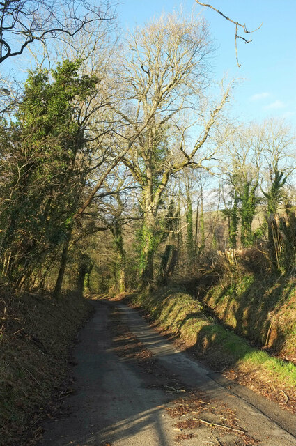
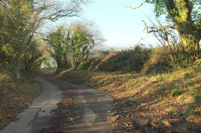
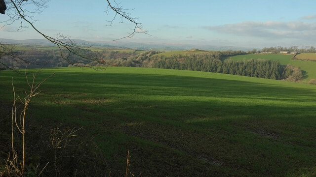
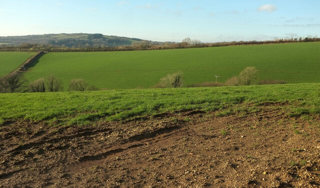
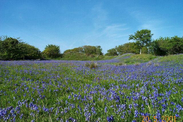
The village is characterized by its lush green landscapes, rolling hills, and enchanting woodland areas. It is home to a variety of wildlife, including deer, rabbits, and a diverse range of bird species. The forest, which envelops the village, provides ample opportunities for outdoor activities such as hiking, birdwatching, and nature walks.

Hazelwood boasts a close-knit community, with a population of around 500 residents. The village is known for its charming cottages, which are built in traditional English architectural style, adding to its rustic appeal. The residents take great pride in maintaining the village's natural beauty and preserving its historical heritage.

Although small in size, Hazelwood offers essential amenities to its residents and visitors. These include a village hall, a local pub, and a small convenience store. For more extensive shopping and leisure facilities, the nearby town of Devonshire is easily accessible.

Overall, Hazelwood, Devon is a hidden gem that captivates visitors with its natural beauty and peaceful ambiance. Whether one seeks tranquility amidst nature or a chance to explore the great outdoors, this idyllic village provides the perfect setting for an unforgettable experience.

If you have any feedback on the listing, please let us know in the comments section below.

Hazelwood Images

Images are sourced within 2km of 50.354247/-3.7947418 or Grid Reference SX7252. Thanks to Geograph Open Source API. All images are credited.

Storridge Court Farm From the public access route to Cleave.
Storridge Court Farm
From the public access route to Cleave.
Canny Park Wood From a lane near High Marks Barn across a field.
Canny Park Wood
From a lane near High Marks Barn across a field.
Lane at Topsham Bridge The lane soon climbs away from the River Avon to Combe Cross on the B3196.
Lane at Topsham Bridge
The lane soon climbs away from the River Avon to Combe Cross on the B3196.
Lupridge Farm With colourfully-rusty barns seen from the lane from California Cross.
Lupridge Farm
With colourfully-rusty barns seen from the lane from California Cross.
Across the Cock's Brook valley From where <a href="https://www.geograph.org.uk/photo/7387182">SX7353 : Storridge Court Farm</a> was taken, looking over Emeridge Wood and an unnamed plantation towards Curtisknowle.
Across the Cock's Brook valley
From where SX7353 : Storridge Court Farm was taken, looking over Emeridge Wood and an unnamed plantation towards Curtisknowle.
Road past Storridge Court Farm Beginning a long ascent to Moreleigh.
Road past Storridge Court Farm
Beginning a long ascent to Moreleigh.
Lane, Upper Common The lane from Preston Combe descending into the Avon valley.
Lane, Upper Common
The lane from Preston Combe descending into the Avon valley.
Pasture by Upper Common Looking left from <a href="https://www.geograph.org.uk/photo/7392936">SX7352 : Lane, Upper Common</a> towards the Avon valley.
Pasture by Upper Common
Looking left from SX7352 : Lane, Upper Common towards the Avon valley.
Pasture by Upper Common Looking left from <a href="https://www.geograph.org.uk/photo/7393430">SX7352 : Pasture by Upper Common</a>. In the background is Storridge Wood.
Pasture by Upper Common
Looking left from SX7352 : Pasture by Upper Common. In the background is Storridge Wood.
Lane near High Marks Barn A lane leading down to the Avon valley from Preston Combe.
Lane near High Marks Barn
A lane leading down to the Avon valley from Preston Combe.
Shadows near High Marks Barn From a gateway on the right of <a href="https://www.geograph.org.uk/photo/7393564">SX7352 : Lane near High Marks Barn</a>, with a view over the Cock's Brook valley.
Shadows near High Marks Barn
From a gateway on the right of SX7352 : Lane near High Marks Barn, with a view over the Cock's Brook valley.
Canny Park Wood Looking left from <a href="https://www.geograph.org.uk/photo/7387554">SX7352 : Canny Park Wood</a>.
Canny Park Wood
Looking left from SX7352 : Canny Park Wood.
Towards the Avon valley Looking left from <a href="https://www.geograph.org.uk/photo/7393581">SX7352 : Canny Park Wood</a>, and so towards the junction of the Avon with the Cock's Brook on the right.
Towards the Avon valley
Looking left from SX7352 : Canny Park Wood, and so towards the junction of the Avon with the Cock's Brook on the right.
Green lane near Preston Combe A sunny winter version of the misty summer scene in <a href="https://www.geograph.org.uk/photo/3043423">SX7452 : Trees along the green lane near Preston Combe</a>. The track is the parish boundary between Diptford (left) and Woodleigh.
Green lane near Preston Combe
A sunny winter version of the misty summer scene in SX7452 : Trees along the green lane near Preston Combe. The track is the parish boundary between Diptford (left) and Woodleigh.
Lane at Preston Farm A short stretch between sharp bends, seen in reverse at <a href="https://www.geograph.org.uk/photo/3039970">SX7451 : House at Preston</a>.
Lane at Preston Farm
A short stretch between sharp bends, seen in reverse at SX7451 : House at Preston.
Track, Preston Farm A private farm track leading to a barn and farmyard.
Track, Preston Farm
A private farm track leading to a barn and farmyard.
Valley near Preston Looking left from <a href="https://www.geograph.org.uk/photo/7387577">SX7451 : Towards Preston</a>.
Valley near Preston
Looking left from SX7451 : Towards Preston.
House, Topsham Bridge A blurred reflection of the hatchery in the waters of the River Avon immediately below the bridge.
House, Topsham Bridge
A blurred reflection of the hatchery in the waters of the River Avon immediately below the bridge.
Show me another place!

Hazelwood is located at Grid Ref: SX7252 (Lat: 50.354247, Lng: -3.7947418)

Administrative County: Devon

District: South Hams

Police Authority: Devon and Cornwall

What 3 Words

///worry.ferrying.packet. Near Modbury, Devon

Related Wikis

Blackdown Rings

The Blackdown Rings are the earthworks of an Iron Age hill fort near the hamlet of Hazelwood in Devon, England. The fort is situated on a hilltop approximately...

Gara Bridge railway station

Gara Bridge railway station was a station on the Kingsbridge branch of the GWR. == History == The station opened on the 19 December 1893 when the Great...

Andrew's Wood

Andrews Wood, (near Modbury in Devon), is a nature reserve managed by the Devon Wildlife Trust.It is also a 23.5 hectare biological Site of Special Scientific...

Woodleigh, Devon

Woodleigh is a village, parish and former manor located in the South Hams region of the county of Devon, England. In 2011 the parish had a population of...

Nearby Amenities

Located within 500m of 50.354247,-3.7947418
Post Box
Brand: Royal Mail
Brand Wikidata: Q638098
Brand Wikipedia: en:Royal Mail
Collection Times: Mo-Sa 12:30; Su off
Operator: Royal Mail
Operator Wikidata: Q638098
Post Box Design: type_c
Post Box Mounting: building
Post Box Type: wall
Ref: TQ7 25
Royal Cypher: VR
Royal Cypher Wikidata: Q33102356
Source: survey;streetlevel imagery;aerial imagery
Lat/Long: 50.3544657/-3.789698
The data included in this document is from www.openstreetmap.org. The data is made available under ODbL.

Have you been to Hazelwood?

Leave your review of Hazelwood below (or comments, questions and feedback).