Lower Sturtlebury Wood

Wood, Forest in Devon South Hams

England

Lower Sturtlebury Wood

Old Milestone, A379, Churchstow The milestone is located 150m west of Churstow village and 50m east of Bantham Cross, on the bank in the hedge on the north side of the road. Parish of Churchstow (South Hams District). Carved stone post, Modbury granite triangle design, erected by the Kingsbridge & Dartmouth turnpike trust in the 19th century. 

Grade II Listed, List Entry Number: 1168470
<span class="nowrap"><a title="https://historicengland.org.uk/listing/the-list/list-entry/1168470" rel="nofollow ugc noopener" href="https://historicengland.org.uk/listing/the-list/list-entry/1168470">Link</a><img style="margin-left:2px;" alt="External link" title="External link - shift click to open in new window" src="https://s1.geograph.org.uk/img/external.png" width="10" height="10"/></span>

Inscription reads:-
To / Kingsb / 2     : :     To / Modby / 5
Carved benchmark on top right face

Milestone Society National ID: DV_KBMB02
Old Milestone, A379, Churchstow Credit: Tim Jenkinson

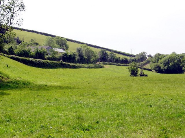
Lower Sturtlebury Wood is a picturesque woodland located in Devon, England. Covering an area of approximately 100 acres, it is nestled in the heart of the beautiful countryside, offering a serene retreat for nature enthusiasts and outdoor lovers alike.

The wood is primarily composed of native deciduous trees, including oak, ash, beech, and hazel, which create a diverse and vibrant ecosystem. The dense canopy provides a sheltered habitat for a variety of wildlife, from small mammals like squirrels and badgers to a wide array of bird species such as woodpeckers and owls.

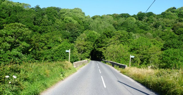
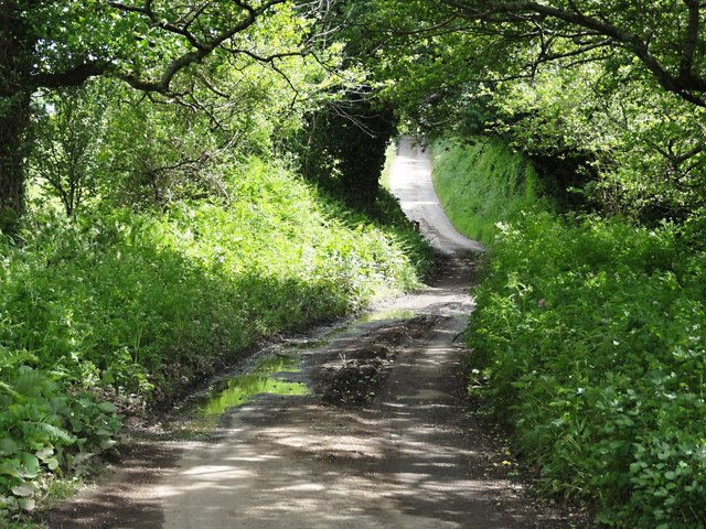
Traversing through Lower Sturtlebury Wood is a network of well-maintained footpaths, allowing visitors to explore its enchanting beauty. The paths meander through the trees, leading to hidden clearings and secluded spots perfect for picnics or simply immersing oneself in the tranquil surroundings. In spring, the forest floor is carpeted with a stunning display of wildflowers, adding bursts of color to the greenery.

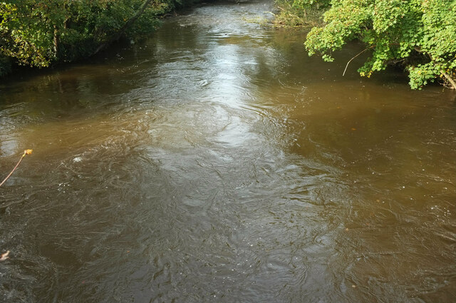
The wood is also home to a small stream, which meanders through its heart, adding to its natural charm. The babbling sound of water creates a soothing ambiance, inviting visitors to relax and unwind.

Lower Sturtlebury Wood is a popular destination for nature walks, photography, and birdwatching. It offers a true escape from the hustle and bustle of everyday life, allowing visitors to reconnect with the beauty of the natural world. Whether it's a leisurely stroll or an immersive exploration, this enchanting woodland promises a memorable experience for all who venture within its boundaries.

If you have any feedback on the listing, please let us know in the comments section below.

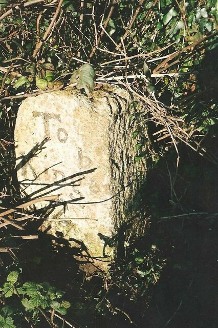
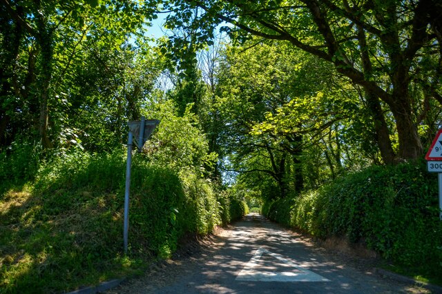
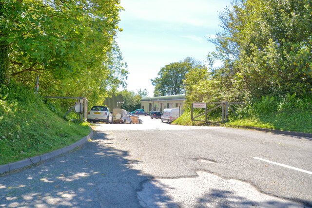
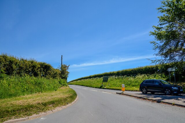
Lower Sturtlebury Wood Images

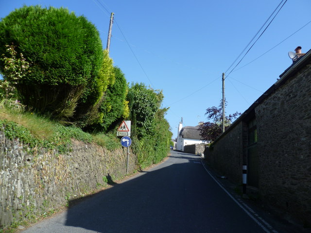
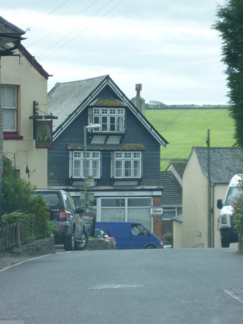
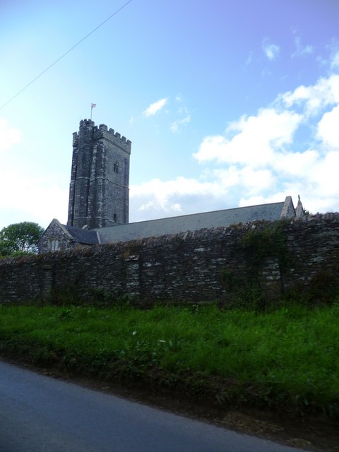
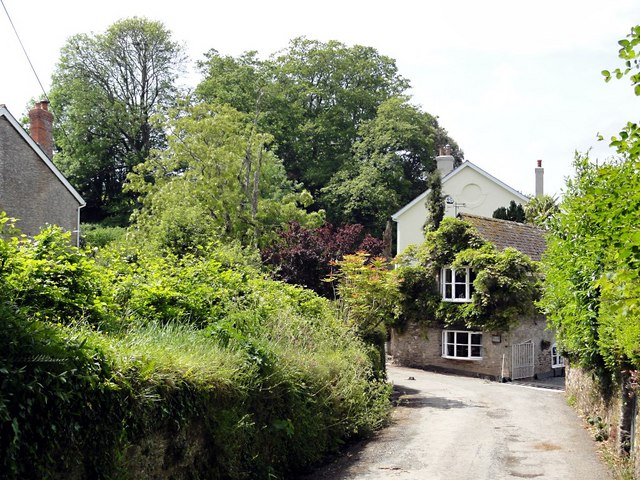
Images are sourced within 2km of 50.308729/-3.8004568 or Grid Reference SX7146. Thanks to Geograph Open Source API. All images are credited.

Old Milestone, A379, Churchstow The milestone is located 150m west of Churstow village and 50m east of Bantham Cross, on the bank in the hedge on the north side of the road. Parish of Churchstow (South Hams District). Carved stone post, Modbury granite triangle design, erected by the Kingsbridge & Dartmouth turnpike trust in the 19th century. 

Grade II Listed, List Entry Number: 1168470
<span class="nowrap"><a title="https://historicengland.org.uk/listing/the-list/list-entry/1168470" rel="nofollow ugc noopener" href="https://historicengland.org.uk/listing/the-list/list-entry/1168470">Link</a><img style="margin-left:2px;" alt="External link" title="External link - shift click to open in new window" src="https://s1.geograph.org.uk/img/external.png" width="10" height="10"/></span>

Inscription reads:-
To / Kingsb / 2     : :     To / Modby / 5
Carved benchmark on top right face

Milestone Society National ID: DV_KBMB02
Old Milestone, A379, Churchstow
The milestone is located 150m west of Churstow village and 50m east of Bantham Cross, on the bank in the hedge on the north side of the road. Parish of Churchstow (South Hams District). Carved stone post, Modbury granite triangle design, erected by the Kingsbridge & Dartmouth turnpike trust in the 19th century. Grade II Listed, List Entry Number: 1168470 LinkExternal link Inscription reads:- To / Kingsb / 2 : : To / Modby / 5 Carved benchmark on top right face Milestone Society National ID: DV_KBMB02
Churchstow : Road A small road off the A379.
Churchstow : Road
A small road off the A379.
Churchstowe : South Hams Business Park Looking to the entrance of the business park off the A379.
Churchstowe : South Hams Business Park
Looking to the entrance of the business park off the A379.
Churchstow : The A381 Looking off the roundabout along the A381.
Churchstow : The A381
Looking off the roundabout along the A381.
Approaching Sorley Green Cross
Mini roundabout at Palegate Cross
Entering 30 MPH zone for Churchstow
Cars at Bantham Cross
Old Milestone by the B3264, Redford Cross, Churchstow Carved stone post by the B3264, in parish of CHURCHSTOW (SOUTH HAMS District), Redford Cross, 150m East of Palegates Cross, high on grass/bank/verge, on North side of road. Modbury granite triangle, erected by the Kingsbridge & Dartmouth turnpike trust in the 19th century. 

Inscription reads:-
: To / Kingsb / 1 : : (To) / Modby / 6 :

Grade II listed.
List Entry Number: 1108143 <span class="nowrap"><a title="https://historicengland.org.uk/listing/the-list/list-entry/1108143" rel="nofollow ugc noopener" href="https://historicengland.org.uk/listing/the-list/list-entry/1108143">Link</a><img style="margin-left:2px;" alt="External link" title="External link - shift click to open in new window" src="https://s1.geograph.org.uk/img/external.png" width="10" height="10"/></span>

Milestone Society National ID: DV_KBMB01.
Old Milestone by the B3264, Redford Cross, Churchstow
Carved stone post by the B3264, in parish of CHURCHSTOW (SOUTH HAMS District), Redford Cross, 150m East of Palegates Cross, high on grass/bank/verge, on North side of road. Modbury granite triangle, erected by the Kingsbridge & Dartmouth turnpike trust in the 19th century. Inscription reads:- : To / Kingsb / 1 : : (To) / Modby / 6 : Grade II listed. List Entry Number: 1108143 LinkExternal link Milestone Society National ID: DV_KBMB01.
River Avon at Loddiswell An autumnal version of <a href="https://www.geograph.org.uk/photo/6155129">SX7248 : River Avon at Loddiswell</a>, looking downstream with the river swollen by recent heavy rain.
River Avon at Loddiswell
An autumnal version of SX7248 : River Avon at Loddiswell, looking downstream with the river swollen by recent heavy rain.
Dismantled Railway Bridge
Bridge over the River Avon
Entering Loddiswell from the South
Fore Street - Loddiswell
St Mary - Churchstow
Venn Venn is a little "two farm" hamlet on the south side of the Avon valley.
Venn
Venn is a little "two farm" hamlet on the south side of the Avon valley.
On the Road between Venn and Hatch The road dips down to the valley floor and becomes liable to get a bit wet here.
On the Road between Venn and Hatch
The road dips down to the valley floor and becomes liable to get a bit wet here.
Valley Side near Culverwell Pasture land in the Avon valley.
Valley Side near Culverwell
Pasture land in the Avon valley.
Show me another place!

Lower Sturtlebury Wood is located at Grid Ref: SX7146 (Lat: 50.308729, Lng: -3.8004568)

Administrative County: Devon

District: South Hams

Police Authority: Devon and Cornwall

What 3 Words

///organisms.devotion.cautious. Near Kingsbridge, Devon

Related Wikis

Leigh Cell

Leigh Cell was a monastery in Devon, England. == References ==

Fosse Copse

Fosse Copse is a woodland in Devon, England, near the village of Loddiswell. It covers a total area of 1.88 hectares (4.65 acres) on the west facing slope...

Churchstow

Churchstow is a small village situated on the A379 road in the South Hams district in south Devon, England. It is situated 1.9 miles (3 km) north-west...

Loddiswell

Loddiswell is a parish and village in the South Hams district of Devon, England. It lies on the west side of the River Avon or Aune and is three miles...

Nearby Amenities

Located within 500m of 50.308729,-3.8004568
Cafe
Valley View Cafe
Lat/Long: 50.3124426/-3.7977165
Aune Valley Meats
Shop: butcher
Lat/Long: 50.3124302/-3.7976309
Culverwell
Place: locality
Lat/Long: 50.307915/-3.8056481
Lordswood
Place: farm
Lat/Long: 50.3045067/-3.8027575
Leigh Barton
Place: locality
Lat/Long: 50.3059354/-3.7974086
Generator Method: photovoltaic
Generator Output Electricity: yes
Generator Source: solar
Generator Type: solar_photovoltaic_panel
Location: roof
Power: generator
Lat/Long: 50.3045116/-3.8026147
Generator Method: photovoltaic
Generator Output Electricity: yes
Generator Source: solar
Generator Type: solar_photovoltaic_panel
Location: roof
Power: generator
Lat/Long: 50.3045056/-3.8025436
Generator Method: photovoltaic
Generator Output Electricity: yes
Generator Source: solar
Generator Type: solar_photovoltaic_panel
Location: roof
Power: generator
Lat/Long: 50.307733/-3.8052446
Rake Lane End
Place: locality
Lat/Long: 50.3118383/-3.7978739
The data included in this document is from www.openstreetmap.org. The data is made available under ODbL.

Have you been to Lower Sturtlebury Wood?

Leave your review of Lower Sturtlebury Wood below (or comments, questions and feedback).