Hatch

Settlement in Devon South Hams

England

Hatch

Subway under the A379 A practical shortcut from the carpark. Going under the busy main road in Aveton Gifford.
Subway under the A379 Credit: Anthony Vosper

Hatch is a small village located in the county of Devon, southwestern England. Situated approximately 10 miles northwest of Plymouth, it falls within the South Hams district. The village is nestled amidst the picturesque countryside, offering stunning views of rolling hills and lush green landscapes.

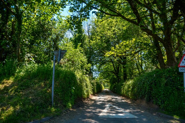
Hatch is known for its tranquil and idyllic setting, making it a popular destination for those seeking a peaceful retreat. The village is characterized by its charming thatched-roof cottages, traditional stone buildings, and narrow winding lanes, which add to its rustic appeal. The surrounding area is abundant in natural beauty, with several walking trails and footpaths for visitors to explore.

Despite its small size, Hatch boasts a strong sense of community, with a close-knit population that is proud of their village's heritage. The locals often organize community events and activities, fostering a warm and welcoming atmosphere for both residents and visitors.

The village offers limited amenities, with a small convenience store catering to basic needs. However, nearby towns provide a wider range of services, including shops, restaurants, and recreational facilities.

Hatch's location provides easy access to several attractions in the region. The nearby Dartmoor National Park is a popular destination for outdoor enthusiasts, offering opportunities for hiking, biking, and wildlife-watching. The historic city of Plymouth is also within reach, providing cultural and historical landmarks, shopping centers, and a vibrant waterfront.

Overall, Hatch, Devon, is a charming and serene village that offers a peaceful retreat amidst the stunning Devonshire countryside.

If you have any feedback on the listing, please let us know in the comments section below.
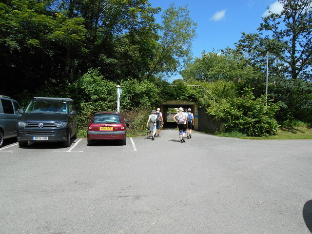
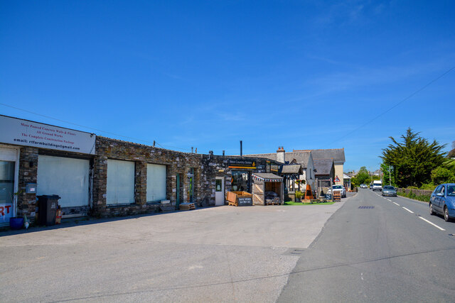
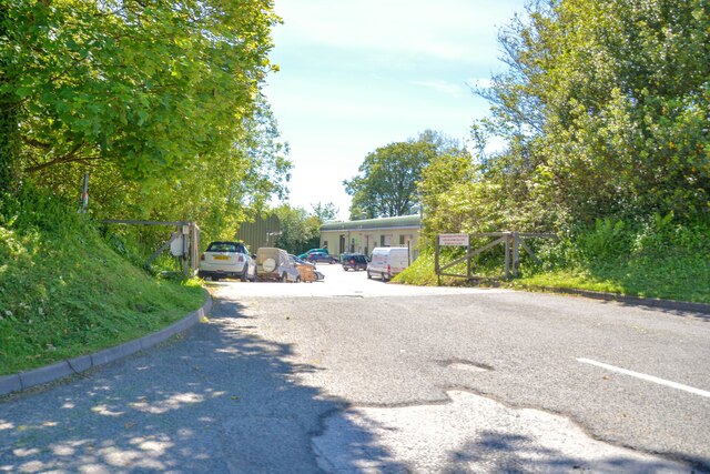
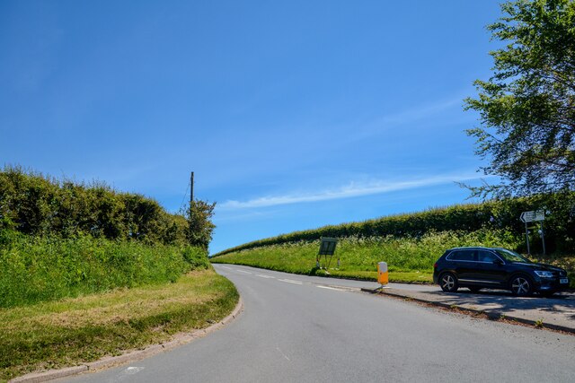
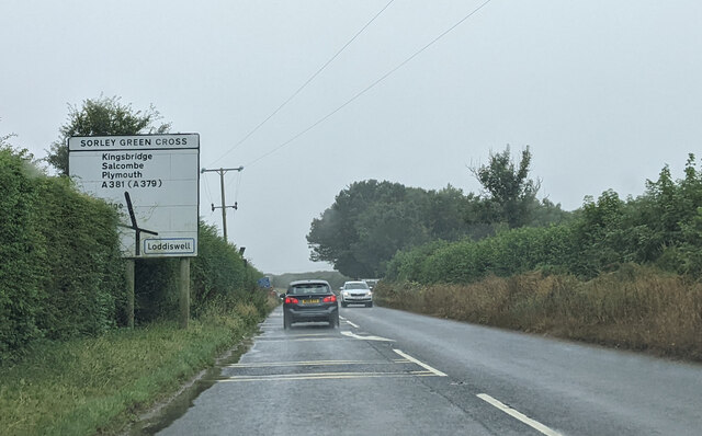
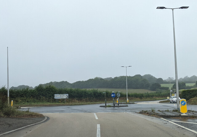
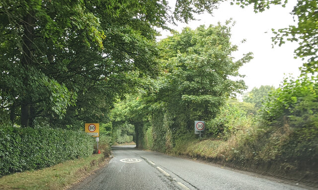
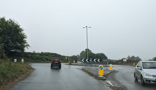
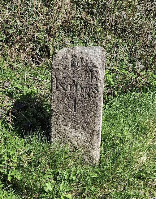
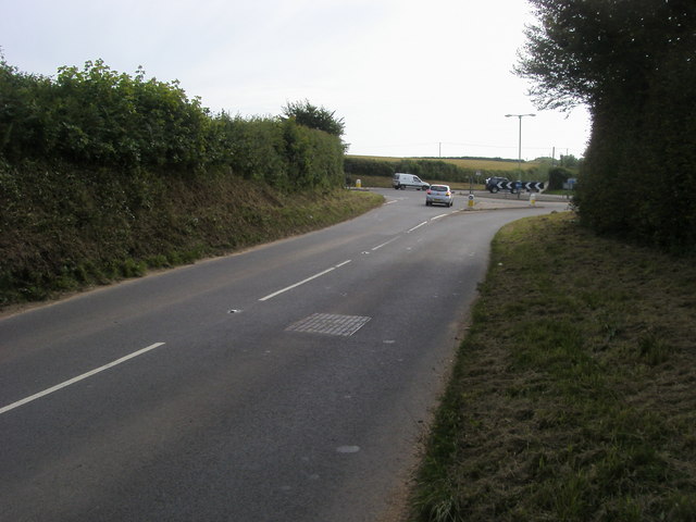
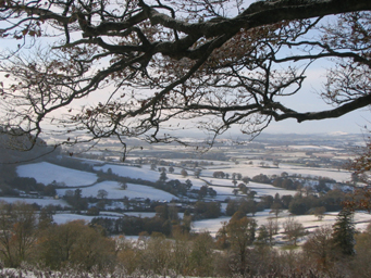
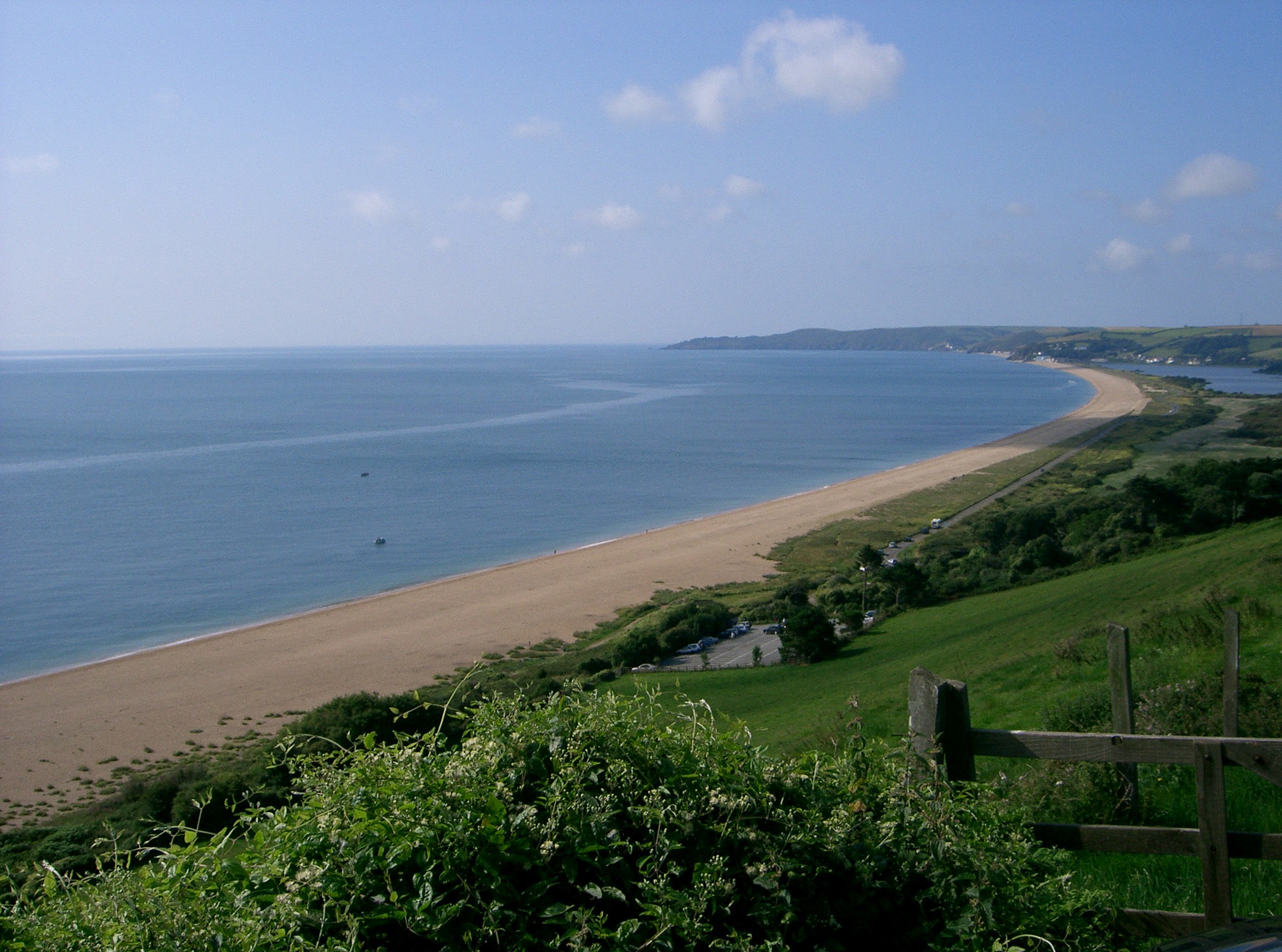
Hatch Images

Images are sourced within 2km of 50.307398/-3.811576 or Grid Reference SX7146. Thanks to Geograph Open Source API. All images are credited.

Subway under the A379 A practical shortcut from the carpark. Going under the busy main road in Aveton Gifford.
Subway under the A379
A practical shortcut from the carpark. Going under the busy main road in Aveton Gifford.
A quiet tributary A small tributary of the river Avon. Running close to the main street in Aveton Gifford.
A quiet tributary
A small tributary of the river Avon. Running close to the main street in Aveton Gifford.
Aveton Gifford : River Avon From the bridge looking across the river.
Aveton Gifford : River Avon
From the bridge looking across the river.
Aveton Gifford : A379 The road passes businesses.
Aveton Gifford : A379
The road passes businesses.
Churchstow : Lane A lane to Osborne Newton and Eastern Park.
Churchstow : Lane
A lane to Osborne Newton and Eastern Park.
Aveton Gifford : Track A track heads to a barn off the A379.
Aveton Gifford : Track
A track heads to a barn off the A379.
Aveton Gifford : Bridge End A road off the A379.
Aveton Gifford : Bridge End
A road off the A379.
Aveton Gifford : Stream A small stream.
Aveton Gifford : Stream
A small stream.
Turning to Venn at Bridge End
Old Milestone, A379, Churchstow The milestone is located 150m west of Churstow village and 50m east of Bantham Cross, on the bank in the hedge on the north side of the road. Parish of Churchstow (South Hams District). Carved stone post, Modbury granite triangle design, erected by the Kingsbridge & Dartmouth turnpike trust in the 19th century. 

Grade II Listed, List Entry Number: 1168470
<span class="nowrap"><a title="https://historicengland.org.uk/listing/the-list/list-entry/1168470" rel="nofollow ugc noopener" href="https://historicengland.org.uk/listing/the-list/list-entry/1168470">Link</a><img style="margin-left:2px;" alt="External link" title="External link - shift click to open in new window" src="https://s1.geograph.org.uk/img/external.png" width="10" height="10"/></span>

Inscription reads:-
To / Kingsb / 2     : :     To / Modby / 5
Carved benchmark on top right face

Milestone Society National ID: DV_KBMB02
Old Milestone, A379, Churchstow
The milestone is located 150m west of Churstow village and 50m east of Bantham Cross, on the bank in the hedge on the north side of the road. Parish of Churchstow (South Hams District). Carved stone post, Modbury granite triangle design, erected by the Kingsbridge & Dartmouth turnpike trust in the 19th century. Grade II Listed, List Entry Number: 1168470 LinkExternal link Inscription reads:- To / Kingsb / 2 : : To / Modby / 5 Carved benchmark on top right face Milestone Society National ID: DV_KBMB02
Churchstow : Road A small road off the A379.
Churchstow : Road
A small road off the A379.
Churchstowe : South Hams Business Park Looking to the entrance of the business park off the A379.
Churchstowe : South Hams Business Park
Looking to the entrance of the business park off the A379.
Churchstow : The A381 Looking off the roundabout along the A381.
Churchstow : The A381
Looking off the roundabout along the A381.
Approaching Sorley Green Cross
Mini roundabout at Palegate Cross
Entering 30 MPH zone for Churchstow
Cars at Bantham Cross
Old Milestone by the B3264, Redford Cross, Churchstow Carved stone post by the B3264, in parish of CHURCHSTOW (SOUTH HAMS District), Redford Cross, 150m East of Palegates Cross, high on grass/bank/verge, on North side of road. Modbury granite triangle, erected by the Kingsbridge & Dartmouth turnpike trust in the 19th century. 

Inscription reads:-
: To / Kingsb / 1 : : (To) / Modby / 6 :

Grade II listed.
List Entry Number: 1108143 <span class="nowrap"><a title="https://historicengland.org.uk/listing/the-list/list-entry/1108143" rel="nofollow ugc noopener" href="https://historicengland.org.uk/listing/the-list/list-entry/1108143">Link</a><img style="margin-left:2px;" alt="External link" title="External link - shift click to open in new window" src="https://s1.geograph.org.uk/img/external.png" width="10" height="10"/></span>

Milestone Society National ID: DV_KBMB01.
Old Milestone by the B3264, Redford Cross, Churchstow
Carved stone post by the B3264, in parish of CHURCHSTOW (SOUTH HAMS District), Redford Cross, 150m East of Palegates Cross, high on grass/bank/verge, on North side of road. Modbury granite triangle, erected by the Kingsbridge & Dartmouth turnpike trust in the 19th century. Inscription reads:- : To / Kingsb / 1 : : (To) / Modby / 6 : Grade II listed. List Entry Number: 1108143 LinkExternal link Milestone Society National ID: DV_KBMB01.
Show me another place!

Hatch is located at Grid Ref: SX7146 (Lat: 50.307398, Lng: -3.811576)

Administrative County: Devon

District: South Hams

Police Authority: Devon and Cornwall

What 3 Words

///warnings.paper.coping. Near Kingsbridge, Devon

Related Wikis

Leigh Cell

Leigh Cell was a monastery in Devon, England. == References ==

Churchstow

Churchstow is a small village situated on the A379 road in the South Hams district in south Devon, England. It is situated 1.9 miles (3 km) north-west...

Bantham Cross

Bantham Cross is a tiny hamlet near Churchstow, in Devon, England. There are a few buildings in it, and a roundabout. The buildings are sparse and are...

East Devon AONB

East Devon Area of Outstanding Natural Beauty (AONB) covers over 100 square miles (260 km2) of the East Devon countryside (England). This countryside includes...

South Devon AONB

The South Devon Area of Outstanding Natural Beauty (AONB) covers 337 square kilometres, including much of the South Hams area of Devon and the rugged coastline...

Fosse Copse

Fosse Copse is a woodland in Devon, England, near the village of Loddiswell. It covers a total area of 1.88 hectares (4.65 acres) on the west facing slope...

Loddiswell

Loddiswell is a parish and village in the South Hams district of Devon, England. It lies on the west side of the River Avon or Aune and is three miles...

Aveton Gifford

Aveton Gifford is a small rural village in the south of the English county of Devon. It lies at the head of the estuary of the River Avon or Aune, at...

Related Videos

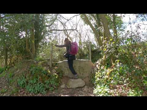
A circular countryside walk from Loddiswell, Devon to the forested Avon Valley and back.

Loddiswell, Devon, England, UK. A walk starting from the pretty little village of Loddiswell in south Devon near Kingsbridge, out ...

Lovely walked with beautiful views

3th Lockdown in England 󠁧󠁢󠁥󠁮󠁧󠁿

Loddiswell Station On the Primrose Line

Loddiswell station is starting a new series of videos about some of the stations on closed lines around the South West. The railway ...

Food Forest, Roadtrip To Woolacombe & Ilfracombe!

Food forest in progress, creating abundance in nature with what it provides, fruit trees, onions & potatoes! Van Road trip to the ...

Nearby Amenities

Located within 500m of 50.307398,-3.811576
Hatch Cross
Place: locality
Lat/Long: 50.3075356/-3.8129622
Hatch
Place: hamlet
Lat/Long: 50.3079656/-3.8125856
Culverwell
Place: locality
Lat/Long: 50.307915/-3.8056481
Generator Method: photovoltaic
Generator Output Electricity: yes
Generator Source: solar
Generator Type: solar_photovoltaic_panel
Location: roof
Power: generator
Lat/Long: 50.307733/-3.8052446
The data included in this document is from www.openstreetmap.org. The data is made available under ODbL.

Have you been to Hatch?

Leave your review of Hatch below (or comments, questions and feedback).