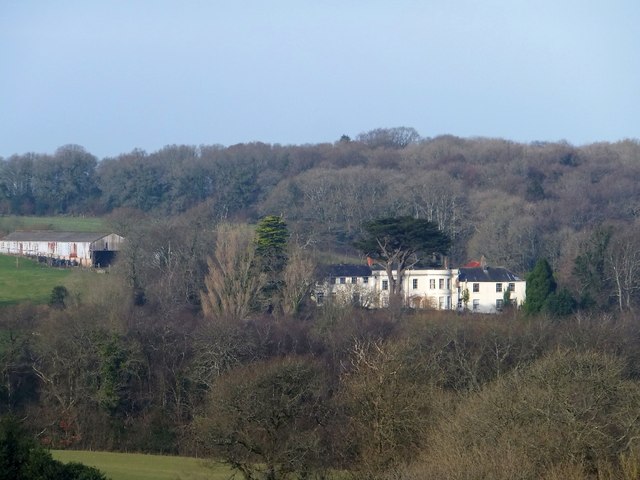
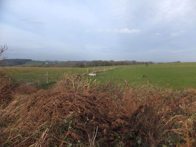
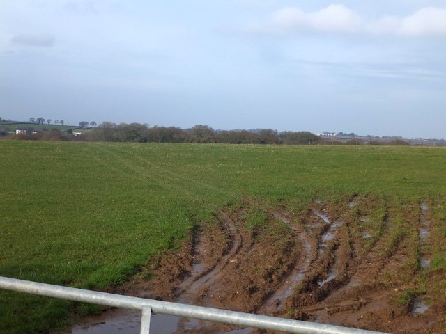
Westernclose Plantation
Wood, Forest in Devon Mid Devon
England
Westernclose Plantation
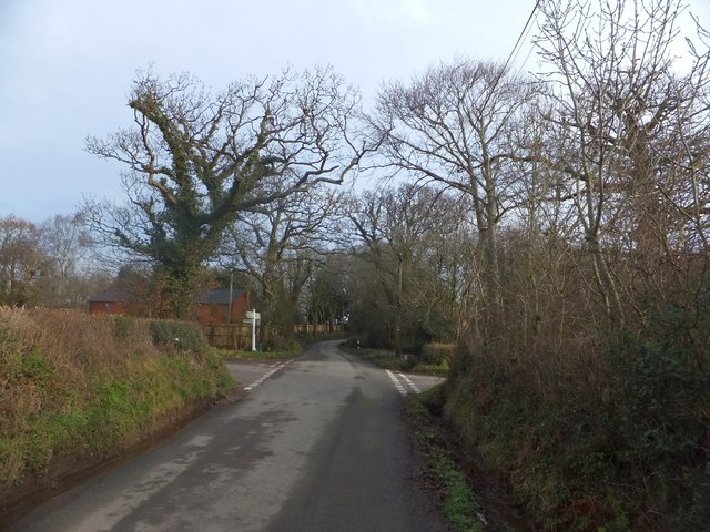
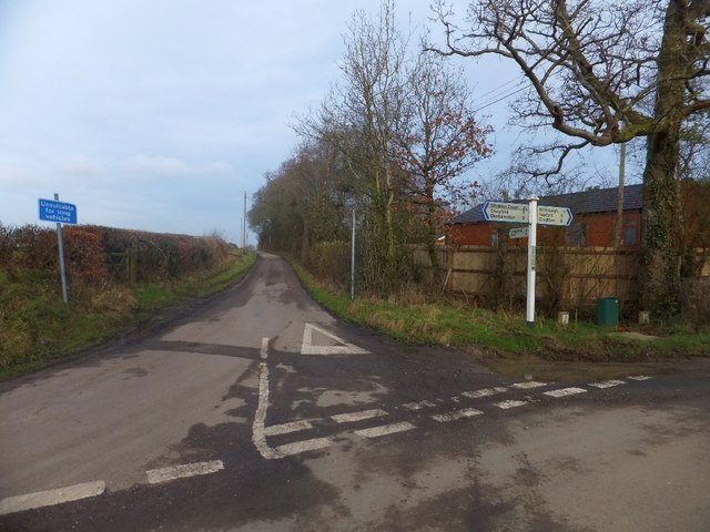
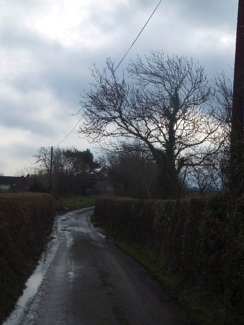
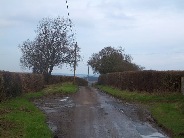
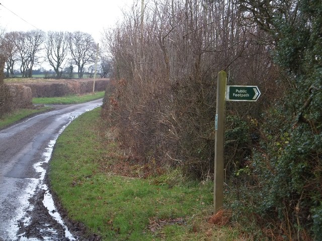
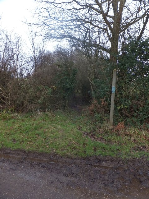
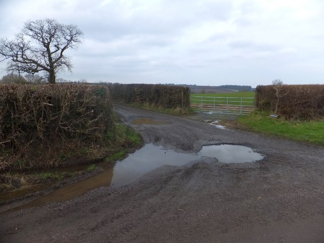
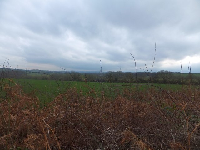
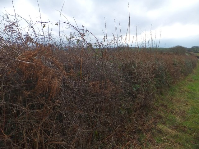
Westernclose Plantation is a picturesque woodland located in Devon, England. Covering an expansive area, the plantation is characterized by its lush greenery, diverse flora, and serene atmosphere. It is a popular destination for nature enthusiasts, hikers, and birdwatchers alike.
The plantation is primarily composed of mature trees, including oak, beech, and birch, which create a dense canopy overhead. These majestic trees provide a habitat for a wide variety of wildlife, such as squirrels, birds, and deer. The undergrowth is rich with ferns, wildflowers, and mosses, adding to the enchanting beauty of the woodland.
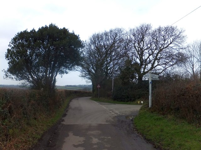
Tranquil walking trails wind through the plantation, allowing visitors to explore its natural wonders at their own pace. The paths are well-maintained and are suitable for all levels of fitness. Along the way, there are benches strategically placed for visitors to rest and immerse themselves in the peaceful ambiance.
Westernclose Plantation is also home to a diverse range of bird species, making it a haven for birdwatchers. The woodland provides an ideal habitat for various birds, including woodpeckers, owls, and songbirds. Birdwatchers can often spot these feathered creatures perched on branches or hear their melodic calls echoing through the trees.
Moreover, the plantation offers a serene escape from the hustle and bustle of everyday life. Its tranquil atmosphere and natural beauty make it a perfect place for relaxation and rejuvenation. Whether visitors are seeking solitude or a peaceful picnic spot, Westernclose Plantation provides a serene haven in the heart of Devon.
If you have any feedback on the listing, please let us know in the comments section below.
Westernclose Plantation Images
Images are sourced within 2km of 50.740301/-3.8199092 or Grid Reference SX7194. Thanks to Geograph Open Source API. All images are credited.


Westernclose Plantation is located at Grid Ref: SX7194 (Lat: 50.740301, Lng: -3.8199092)
Administrative County: Devon
District: Mid Devon
Police Authority: Devon and Cornwall
What 3 Words
///bunks.wings.boast. Near Bow, Devon
Nearby Locations
Related Wikis

Hittisleigh
Hittisleigh is a small rural parish and village just north-east of Dartmoor in Devon. Once part of the ancient district of the Wonford Hundred, it is now...
St Andrew's Church, Hittisleigh
St Andrew's Church, Hittisleigh, is an Anglican parish church in Hittisleigh in Mid Devon. It is listed Grade I on the National Heritage List for England...

Spreyton
Spreyton is a small rural village just north of Dartmoor in Devon, England. Spreyton is famous for its connection to the tale of “Old Uncle Tom Cobley...
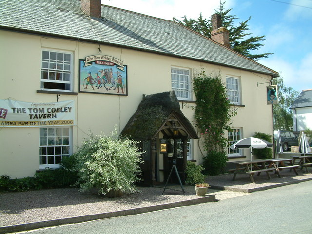
Tom Cobley Tavern
The Tom Cobley Tavern is a pub in Spreyton, Devon, England. It dates back to the 16th century, and may be the 1802 starting point of Uncle Tom Cobley and...
Whiddon Down
Whiddon Down is a hamlet within the parish of Drewsteignton in Devon. == Location == The hamlet lies on the old east–west A30 (London-Penzance) road, between...

Spinsters' Rock
Spinsters' Rock (grid reference SX701907) is a Neolithic dolmen near Drewsteignton in Devon. It is situated on Shilstone Farm west of the village. It...
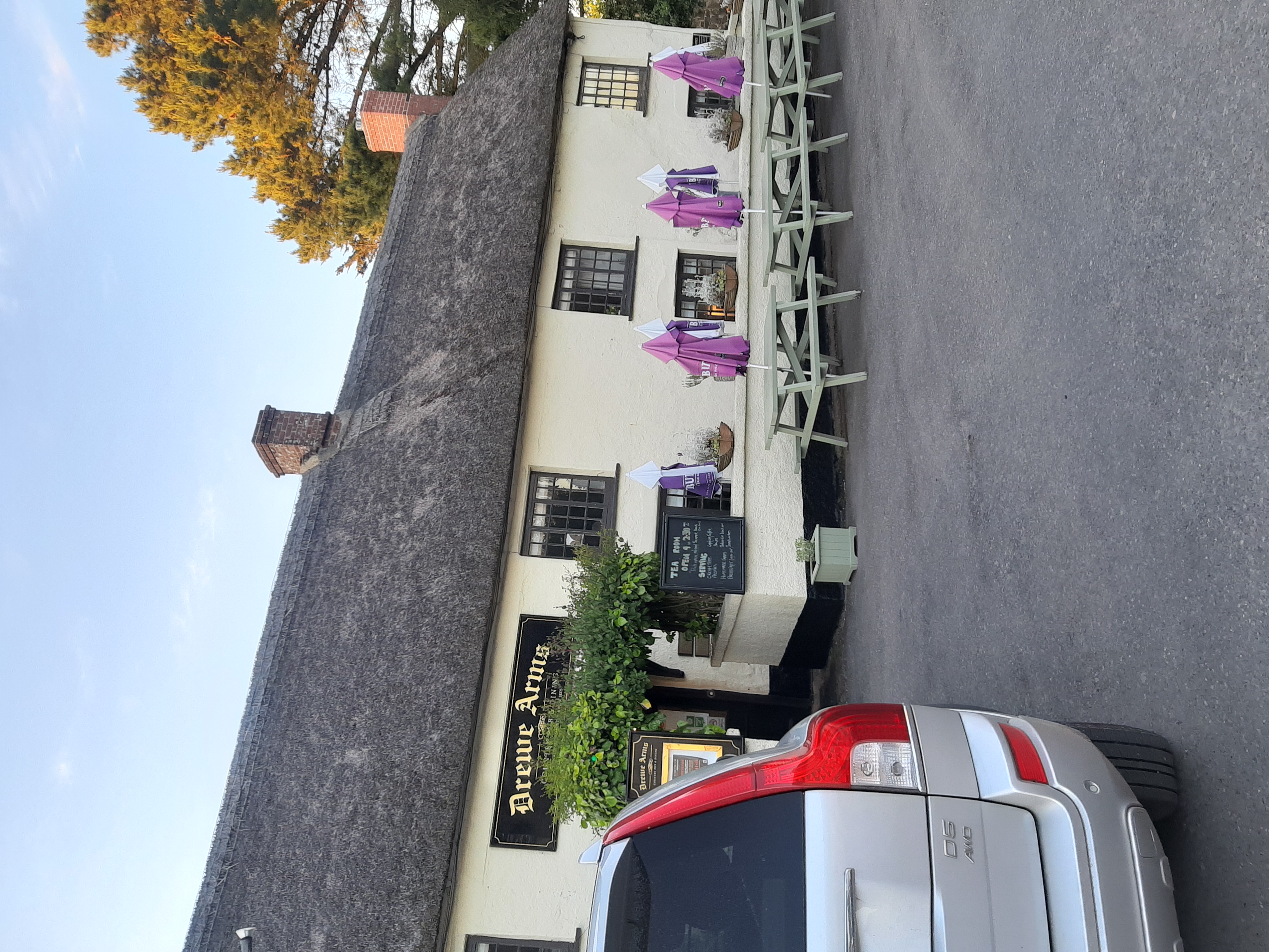
Drewe Arms, Drewsteignton
The Drewe Arms is a Grade II* listed public house on the north side of The Square in Drewsteignton, Devon. Built in the 17th century, the building was...

Drewsteignton
Drewsteignton is a village, civil parish and former manor within the administrative area of West Devon, England, also lying within the Dartmoor National...
Nearby Amenities
Located within 500m of 50.740301,-3.8199092Have you been to Westernclose Plantation?
Leave your review of Westernclose Plantation below (or comments, questions and feedback).