Fursham Plantation

Wood, Forest in Devon Mid Devon

England

Fursham Plantation

The source of the River Yeo The left end of the row of trees across the centre of the image is marked on Ordnance Survey maps as the source of the River Yeo
The source of the River Yeo Credit: Roger A Smith

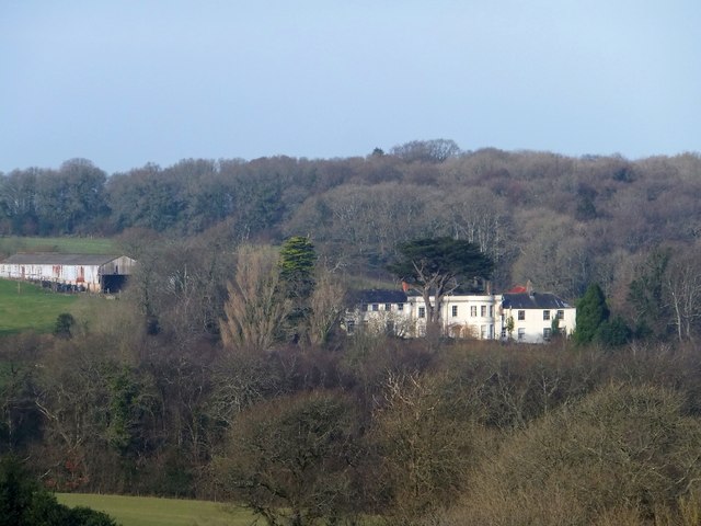
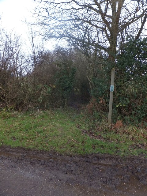
Fursham Plantation is a charming woodland located in the picturesque county of Devon, England. Situated on the outskirts of the small village of Fursham, the plantation covers an area of approximately 100 acres, encompassing a diverse range of trees and wildlife.

The woodland is predominantly made up of ancient oak trees, some of which are estimated to be over 300 years old. These majestic giants provide a stunning canopy, casting dappled sunlight onto the forest floor. The undergrowth is abundant with native flora, including bluebells, primroses, and ferns, creating a vivid and enchanting landscape.

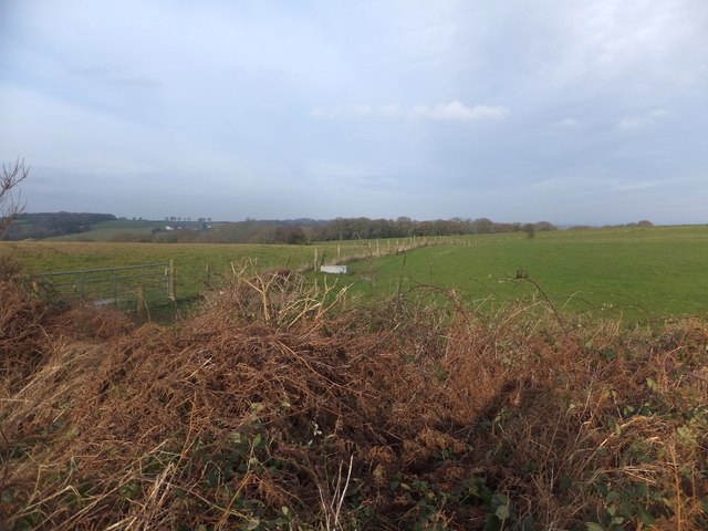
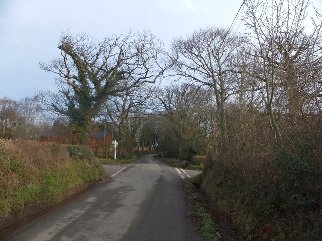
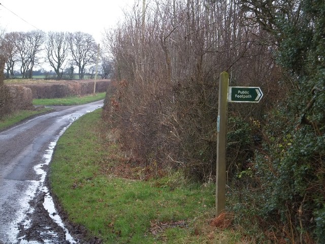
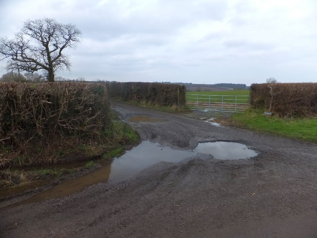
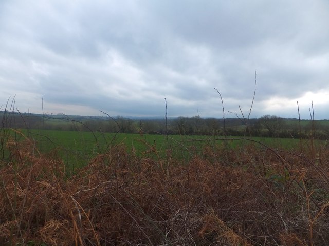
Fursham Plantation is not only a haven for nature enthusiasts but also a popular spot for walkers and hikers. A network of well-maintained footpaths and trails crisscrosses the woodland, offering visitors the opportunity to explore its hidden corners and enjoy breathtaking views of the surrounding countryside.

The plantation is also home to a plethora of wildlife, including various species of birds, such as woodpeckers, owls, and thrushes. Deer, badgers, and foxes can also be spotted if one is lucky. The peaceful ambiance of the woodland makes it an ideal habitat for these creatures, allowing them to thrive undisturbed.

Furthermore, Fursham Plantation has a rich historical significance. It is believed to have been the site of an Iron Age settlement, with remnants of ancient earthworks and burial mounds still visible in certain areas. Archaeological enthusiasts can delve into the past and unravel the mysteries of this intriguing site.

In conclusion, Fursham Plantation is a captivating woodland in Devon, offering a tranquil escape from the bustling modern world. Its ancient trees, diverse wildlife, and historical remnants make it a destination worth exploring for nature lovers and history enthusiasts alike.

If you have any feedback on the listing, please let us know in the comments section below.

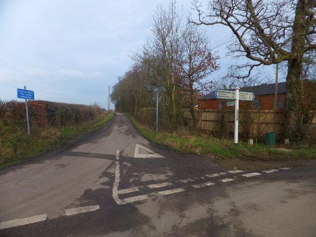
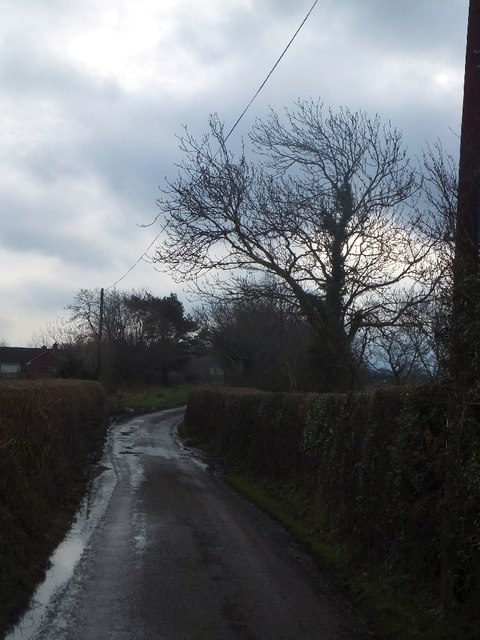
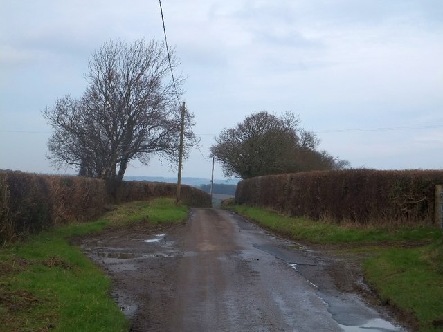
Fursham Plantation Images

Images are sourced within 2km of 50.736831/-3.8250183 or Grid Reference SX7194. Thanks to Geograph Open Source API. All images are credited.

The source of the River Yeo The left end of the row of trees across the centre of the image is marked on Ordnance Survey maps as the source of the River Yeo
The source of the River Yeo
The left end of the row of trees across the centre of the image is marked on Ordnance Survey maps as the source of the River Yeo
Bridleway from Glen View Beyond the road and the hedge is the farm at Thornbury <a href="https://www.geograph.org.uk/photo/1549535">SX7093 : Thornbury</a>
Bridleway from Glen View
Beyond the road and the hedge is the farm at Thornbury SX7093 : Thornbury
Fork off the road giving access to  Thornbury The farm access road for Thornbury forks to the left from the road to Hittisleigh.  On the right, just beyond the telephone pole, is well-used access to a field
Fork off the road giving access to Thornbury
The farm access road for Thornbury forks to the left from the road to Hittisleigh. On the right, just beyond the telephone pole, is well-used access to a field
Grazing land south-west of Chapple On the skyline are some of the buildings associated with the farm at Chapple.  The low shed to the right of the house has a weather-vane shaped like a llama or alpaca, but there were none of the animals grazing on this wintery day.
Grazing land south-west of Chapple
On the skyline are some of the buildings associated with the farm at Chapple. The low shed to the right of the house has a weather-vane shaped like a llama or alpaca, but there were none of the animals grazing on this wintery day.
Muddy gateway at Chapple The field entrance has suffered from the heavy rain of late 2012
Muddy gateway at Chapple
The field entrance has suffered from the heavy rain of late 2012
Fuidge Manor seen from near Fursham Cross A grade II listed building, looking south over the valley of the River Troney sheltered by woodland
Fuidge Manor seen from near Fursham Cross
A grade II listed building, looking south over the valley of the River Troney sheltered by woodland
Hedge and stream near Fursdon Cross A small stream runs along the hedge, the boundary of two fields.
Hedge and stream near Fursdon Cross
A small stream runs along the hedge, the boundary of two fields.
Fursham Cross An open barn at the crossroads; the crossroads are not named on OS maps, but the name appears on the upright.  The stone is a modern boundary marker
Fursham Cross
An open barn at the crossroads; the crossroads are not named on OS maps, but the name appears on the upright. The stone is a modern boundary marker
Fence separating fields near Easton Cross
Muddy tracks at a farm gate near Easton Cross The land is suffering from the heavy rain of December 2012
Muddy tracks at a farm gate near Easton Cross
The land is suffering from the heavy rain of December 2012
Easton Cross
Easton Cross
Road to Bow at Easton Cross The warning that the road is unsuitable for long vehicles is a consequence of the sharp bends in the road as it passes through the valley of the River Troney
Road to Bow at Easton Cross
The warning that the road is unsuitable for long vehicles is a consequence of the sharp bends in the road as it passes through the valley of the River Troney
Minor road north of Davylands Some of the farm buildings are visible; the access road is just beyond the bend in the road
Minor road north of Davylands
Some of the farm buildings are visible; the access road is just beyond the bend in the road
The crest of the hill near Trayhill This is the highest point between Davylands (which is in a valley) and the bridge over the Troney at Spreyton Wood.  It has a spot height of 219 metres, and there is a 220 metre contour a short way to the east.
The crest of the hill near Trayhill
This is the highest point between Davylands (which is in a valley) and the bridge over the Troney at Spreyton Wood. It has a spot height of 219 metres, and there is a 220 metre contour a short way to the east.
Footpath to Crayford and farm access to Westwood
Footpath to Crayford
Field gate at Westwood The road on the left gives access to Westwood Farm
Field gate at Westwood
The road on the left gives access to Westwood Farm
Hedge and field north of Westwood
Show me another place!

Fursham Plantation is located at Grid Ref: SX7194 (Lat: 50.736831, Lng: -3.8250183)

Administrative County: Devon

District: Mid Devon

Police Authority: Devon and Cornwall

What 3 Words

///nuzzling.chatting.wisely. Near Chagford, Devon

Related Wikis

Hittisleigh

Hittisleigh is a small rural parish and village just north-east of Dartmoor in Devon. Once part of the ancient district of the Wonford Hundred, it is now...

St Andrew's Church, Hittisleigh

St Andrew's Church, Hittisleigh, is an Anglican parish church in Hittisleigh in Mid Devon. It is listed Grade I on the National Heritage List for England...

Spreyton

Spreyton is a small rural village just north of Dartmoor in Devon, England. Spreyton is famous for its connection to the tale of “Old Uncle Tom Cobley...
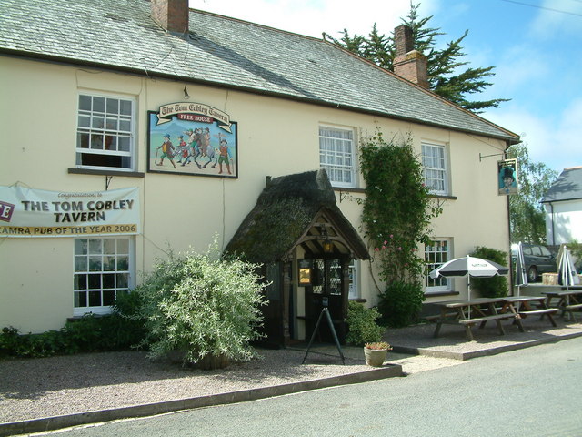
Tom Cobley Tavern

The Tom Cobley Tavern is a pub in Spreyton, Devon, England. It dates back to the 16th century, and may be the 1802 starting point of Uncle Tom Cobley and...

Nearby Amenities

Located within 500m of 50.736831,-3.8250183
Beer Ford
Ford: yes
Source Name: OS_OpenData_StreetView
Lat/Long: 50.736522/-3.8283407
The data included in this document is from www.openstreetmap.org. The data is made available under ODbL.

Have you been to Fursham Plantation?

Leave your review of Fursham Plantation below (or comments, questions and feedback).