Chorley

Settlement in Shropshire

England

Chorley

The Highlands - that way Signpost on a junction near Stottesdon.
The Highlands - that way Credit: Richard Webb

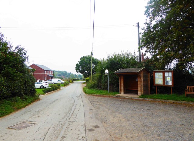
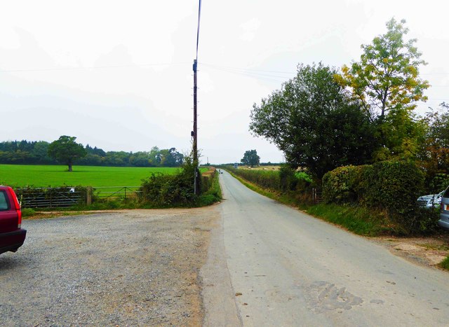
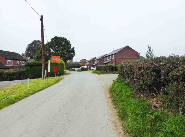
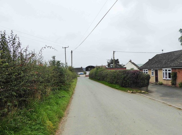
Chorley is a small village located in the county of Shropshire, England. It is situated approximately 10 miles north of the town of Shrewsbury and is nestled within the picturesque Shropshire Hills, an Area of Outstanding Natural Beauty.

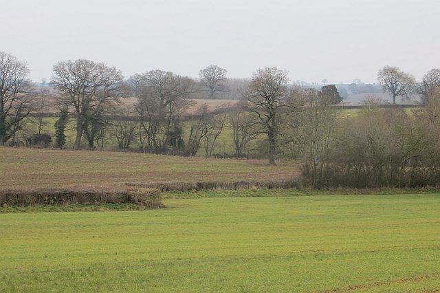
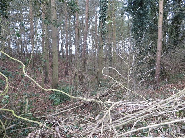
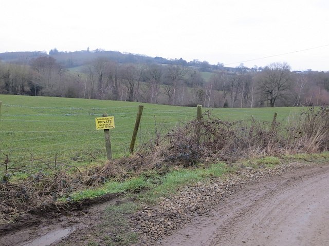
The village of Chorley has a population of around 500 residents and is known for its rural charm and peaceful atmosphere. The landscape surrounding Chorley consists of rolling hills, meadows, and scenic countryside, making it an ideal destination for nature lovers and outdoor enthusiasts.

The village itself is characterized by its quaint stone buildings and traditional architecture, reflecting its long history. Chorley has a rich heritage, with traces of human settlements dating back to the Roman times. The St. Bartholomew's Church, a Grade II listed building, is a notable landmark in the village and showcases stunning medieval architecture.

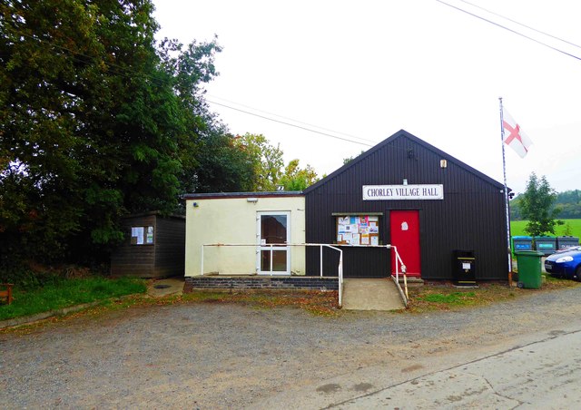
Despite its small size, Chorley offers a range of amenities for its residents and visitors. There is a local pub, The Sun Inn, where one can enjoy a pint of locally brewed ale and experience the warm hospitality of the village. Additionally, the village has a primary school, a community hall, and a cricket ground, which serves as a gathering place for social events and sports activities.

With its idyllic countryside setting, historic charm, and close proximity to other attractions in Shropshire, Chorley is a hidden gem that offers a peaceful retreat for those seeking a slower pace of life in a rural setting.

If you have any feedback on the listing, please let us know in the comments section below.
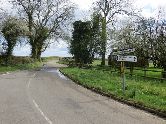
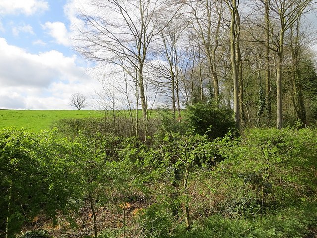
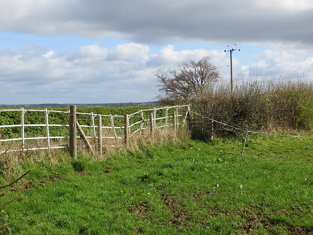
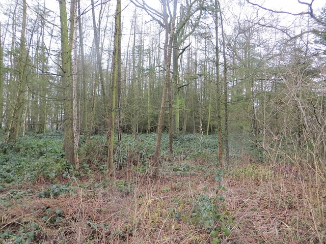
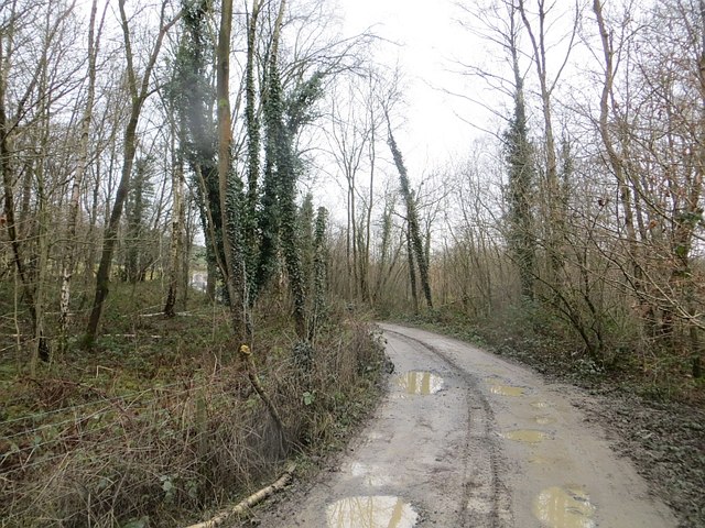
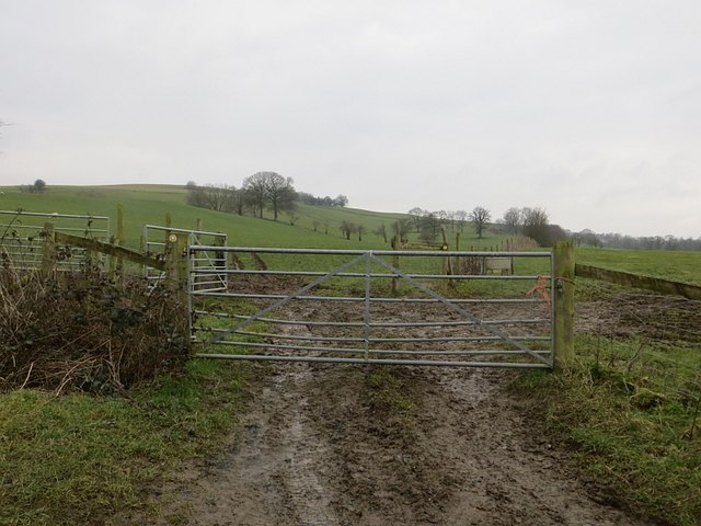
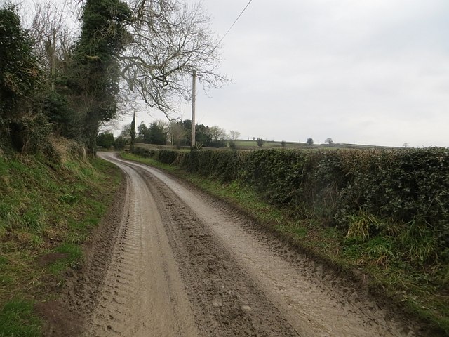
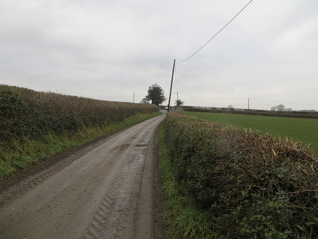
Chorley Images

Images are sourced within 2km of 52.448653/-2.45257 or Grid Reference SO6983. Thanks to Geograph Open Source API. All images are credited.

The Highlands - that way Signpost on a junction near Stottesdon.
The Highlands - that way
Signpost on a junction near Stottesdon.
Woodland near Stottesdon A very small wooded area beside a brook.
Woodland near Stottesdon
A very small wooded area beside a brook.
Roadside railings, Chorley Iron railings were used to replace hedges at road junctions to improve visibility.
Roadside railings, Chorley
Iron railings were used to replace hedges at road junctions to improve visibility.
Park Wood Small and rather brambly
Park Wood
Small and rather brambly
Fields, Sidbury Many hedges up here contain mature trees.
Fields, Sidbury
Many hedges up here contain mature trees.
Old quarry A well wooded quarry near Sidbury. Geological maps suggest that Devonian sandstone was quarried here,
Old quarry
A well wooded quarry near Sidbury. Geological maps suggest that Devonian sandstone was quarried here,
80 metres of pettyness There is a gap in the bridleway here. I measured it - 80m and yes, I did pass your nasty wee signs, twice in order to make the measurement. Thank goodness I live in a country where this is unlawful.
(It is a road, there are no houses, no gardens, no livestock, no crops.)
80 metres of pettyness
There is a gap in the bridleway here. I measured it - 80m and yes, I did pass your nasty wee signs, twice in order to make the measurement. Thank goodness I live in a country where this is unlawful. (It is a road, there are no houses, no gardens, no livestock, no crops.)
Road to Lower and Upper Harcourt It carries on beyond the farm to the woodlands at Bragginslye.
Road to Lower and Upper Harcourt
It carries on beyond the farm to the woodlands at Bragginslye.
Bagginslye Coppice Bell pits on either side of the road.
Bagginslye Coppice
Bell pits on either side of the road.
Muddy gateway, Bagginslye Slopes of Knowle Hill.
Muddy gateway, Bagginslye
Slopes of Knowle Hill.
Farm road, Upper Harcourt Muddy - it is February.
Farm road, Upper Harcourt
Muddy - it is February.
Farm road, Upper Harcourt Approaching a crossroads with the public road network. Some of the yellow roads were muddier than this farm road.
Farm road, Upper Harcourt
Approaching a crossroads with the public road network. Some of the yellow roads were muddier than this farm road.
New Road with bus shelter & information board, Chorley, Shrops The bus shelter and information board are outside the village hall.
New Road with bus shelter & information board, Chorley, Shrops
The bus shelter and information board are outside the village hall.
Chorley Village Hall, New Road, Chorley, Shrops Various groups meet here and the hall can be hired for functions. It is set up as a registered charity with a committee of trustees who manage it.
Chorley Village Hall, New Road, Chorley, Shrops
Various groups meet here and the hall can be hired for functions. It is set up as a registered charity with a committee of trustees who manage it.
Road heading out of Chorley, Shrops The village is in a very rural area and all the roads serving it, including this one, are unclassified. Photographed from outside the Village Hall.
Road heading out of Chorley, Shrops
The village is in a very rural area and all the roads serving it, including this one, are unclassified. Photographed from outside the Village Hall.
Recycling area, New Road, Chorley, Shrops The recycling area is by the side of the Village Hall. The four containers cater for plastic bottles, paper, mixed glass and food and drink cans. Behind it is a tree and a field.
Recycling area, New Road, Chorley, Shrops
The recycling area is by the side of the Village Hall. The four containers cater for plastic bottles, paper, mixed glass and food and drink cans. Behind it is a tree and a field.
Road outside the Duck Inn, Chorley, Shrops The road is passing the pub's car park on the left.
Road outside the Duck Inn, Chorley, Shrops
The road is passing the pub's car park on the left.
Road at Chorley, Shrops The roads in the village are all unclassified but in this direction the road eventually leads to a junction with the B4363. The village is in a very rural area.
Road at Chorley, Shrops
The roads in the village are all unclassified but in this direction the road eventually leads to a junction with the B4363. The village is in a very rural area.
Show me another place!

Chorley is located at Grid Ref: SO6983 (Lat: 52.448653, Lng: -2.45257)

Unitary Authority: Shropshire

Police Authority: West Mercia

What 3 Words

///poses.muddle.prowl. Near Highley, Shropshire

Nearby Locations

Lower Chorley Chorley

Related Wikis

Billingsley, Shropshire

Billingsley is a small village and civil parish in Shropshire, England. It is located 6 miles (9.7 km) south of Bridgnorth and lies in the diocese of Hereford...

Stottesdon

Stottesdon is a village and civil parish in south east Shropshire, England. The parish of Stottesdon covers a large rural area and extends over the village...

Sidbury, Shropshire

Sidbury is a village and civil parish 21 miles (34 km) south-east of Shrewsbury, in the Shropshire district, in the ceremonial county of Shropshire, England...

Bagginswood

Bagginswood is a small village, In Shropshire, near to Stottesdon. Bagginswood is set within an area of outstanding natural beauty and sits centre of a...

Nearby Amenities

Located within 500m of 52.448653,-2.45257
Pub
The Duck Inn
Addr City: Chorley
Addr Country: GB
Addr Postcode: WV16 6PP
Fhrs Authority: Shropshire
Fhrs Id: 371374
Fhrs Local Authority Id: 31096
Source: survey
Lat/Long: 52.4478097/-2.4467062
Generator Method: photovoltaic
Generator Output Electricity: yes
Generator Source: solar
Generator Type: solar_photovoltaic_panel
Location: roof
Power: generator
Lat/Long: 52.4479589/-2.4469981
Generator Method: photovoltaic
Generator Output Electricity: yes
Generator Source: solar
Generator Type: solar_photovoltaic_panel
Location: roof
Power: generator
Lat/Long: 52.4473999/-2.4493289
Generator Method: photovoltaic
Generator Output Electricity: yes
Generator Source: solar
Generator Type: solar_photovoltaic_panel
Location: roof
Power: generator
Lat/Long: 52.4473982/-2.448146
Generator Method: photovoltaic
Generator Output Electricity: yes
Generator Source: solar
Generator Type: solar_photovoltaic_panel
Location: roof
Power: generator
Lat/Long: 52.4474162/-2.4482748
Generator Method: photovoltaic
Generator Output Electricity: yes
Generator Source: solar
Generator Type: solar_photovoltaic_panel
Location: roof
Power: generator
Lat/Long: 52.4474276/-2.4484625
Generator Method: photovoltaic
Generator Output Electricity: yes
Generator Source: solar
Generator Type: solar_photovoltaic_panel
Location: roof
Power: generator
Lat/Long: 52.4472887/-2.4485457
The data included in this document is from www.openstreetmap.org. The data is made available under ODbL.

Have you been to Chorley?

Leave your review of Chorley below (or comments, questions and feedback).