Chorley
Settlement in Staffordshire Lichfield
England
Chorley

The requested URL returned error: 429 Too Many Requests
If you have any feedback on the listing, please let us know in the comments section below.
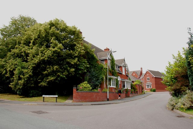
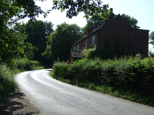
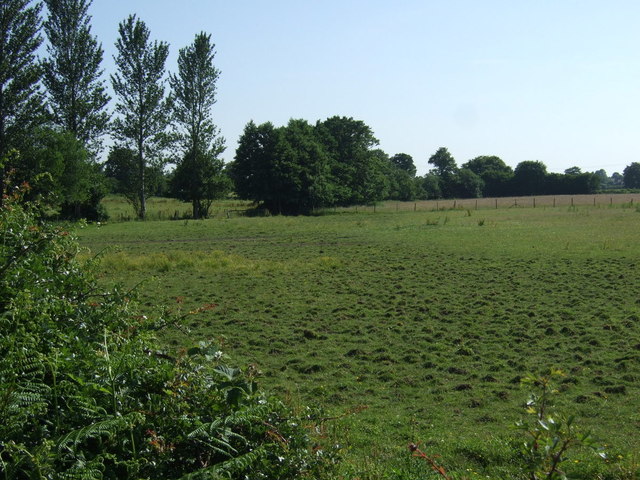
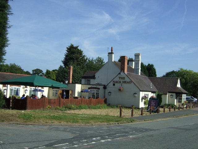
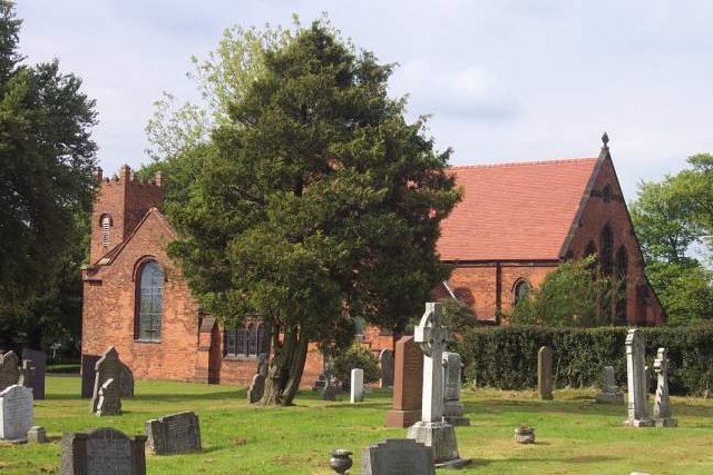
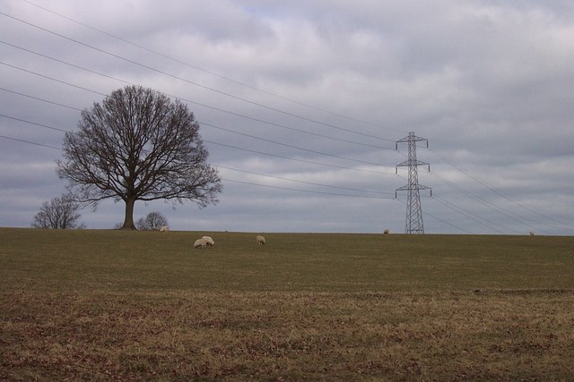
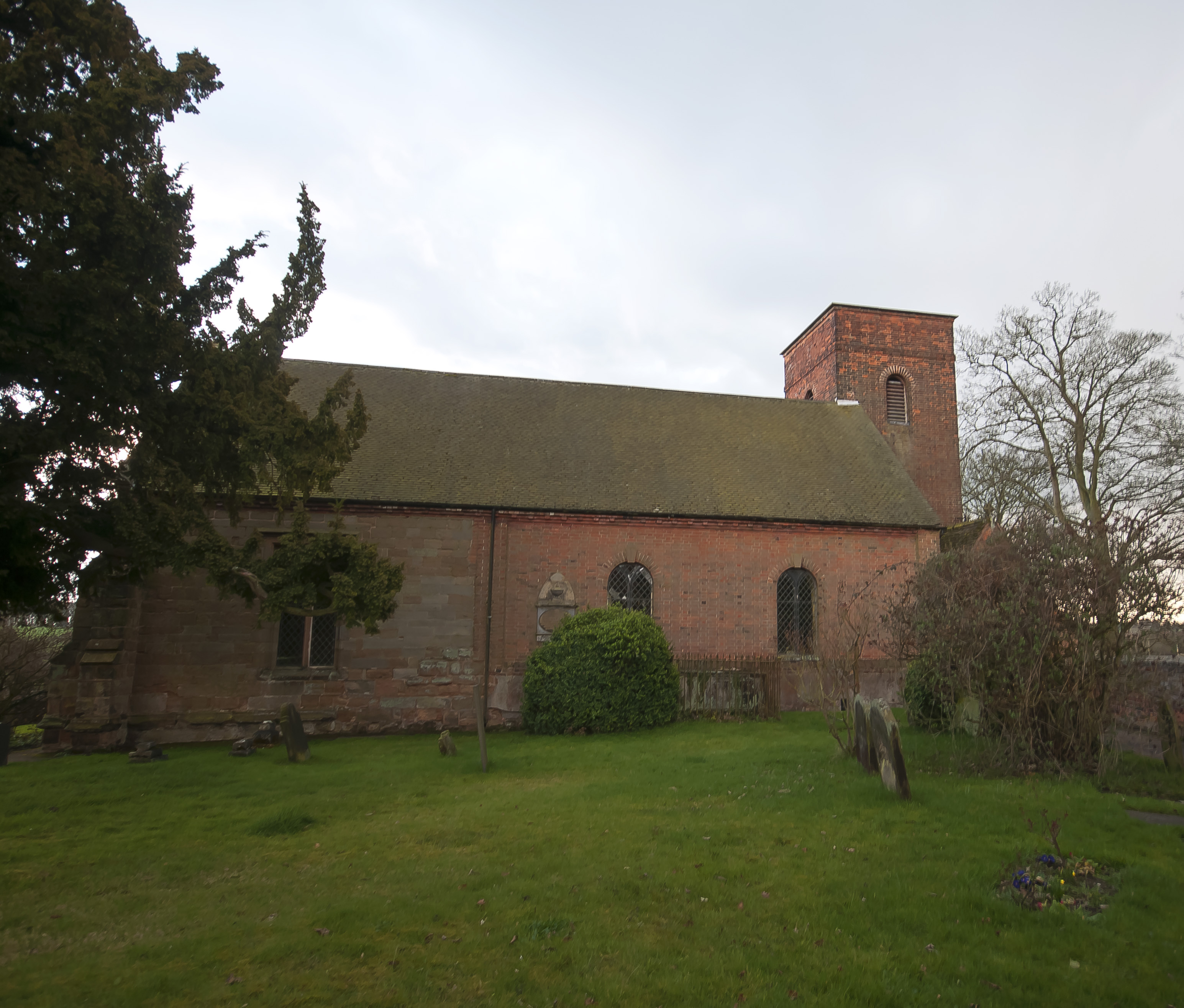
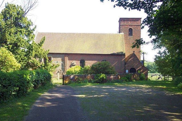
Chorley Images
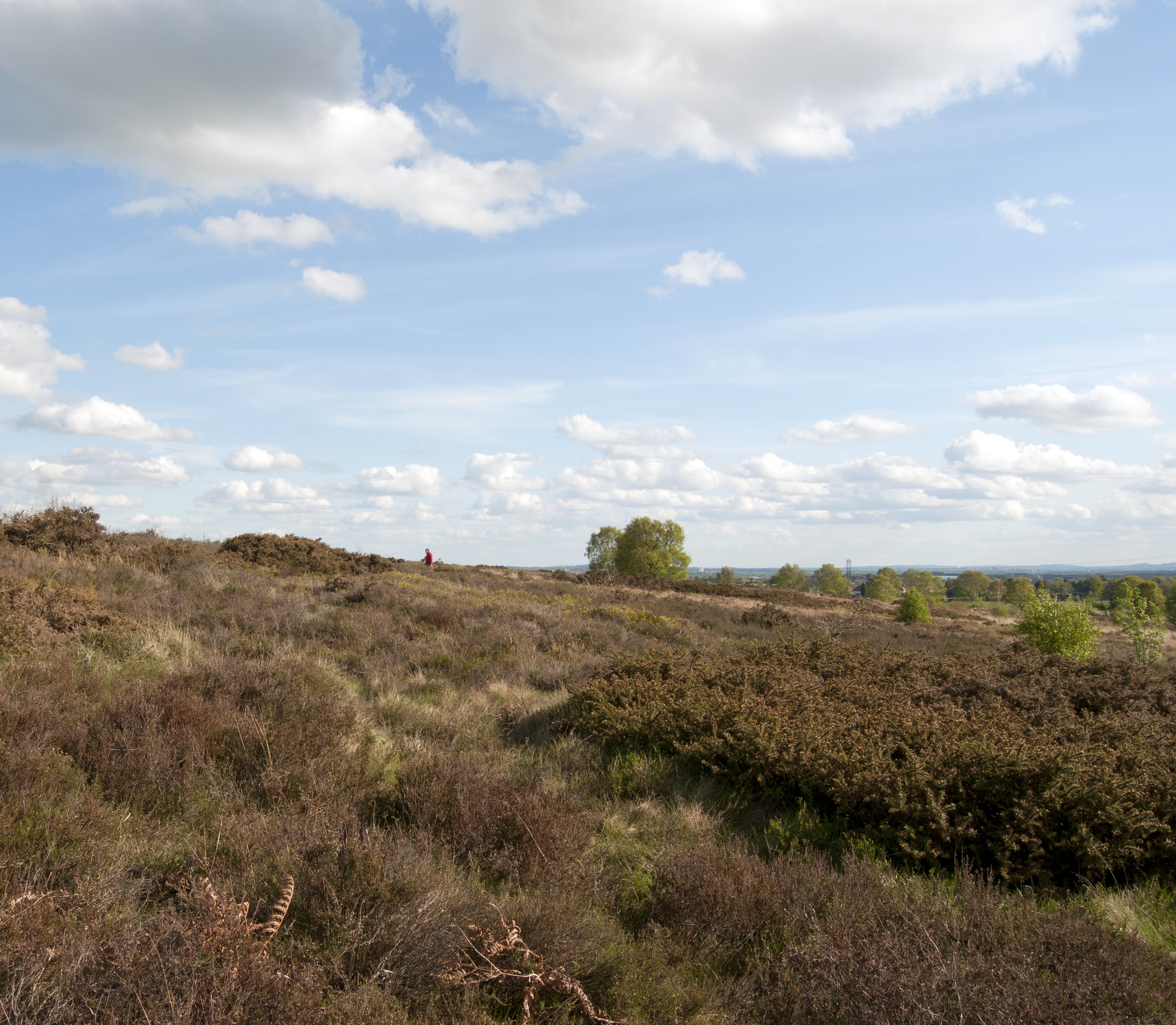
Images are sourced within 2km of 52.698073/-1.8970564 or Grid Reference SK0711. Thanks to Geograph Open Source API. All images are credited.


Chorley is located at Grid Ref: SK0711 (Lat: 52.698073, Lng: -1.8970564)
Administrative County: Staffordshire
District: Lichfield
Police Authority: Staffordshire
What 3 Words
///eager.sounds.tubes. Near Burntwood, Staffordshire
Nearby Locations
Related Wikis
Farewell and Chorley
Farewell and Chorley is a civil parish in Lichfield District, Staffordshire, England. The villages of Farewell and Chorley, that make up the parish, lie...
Farewell Priory
Farewell Priory was a Benedictine nunnery near Lichfield in Staffordshire, England. Although it received considerable episcopal support, it was always...

St Matthew's Hospital
St Matthew's Hospital was a mental health facility on Farewell Lane, Burntwood, Staffordshire, England. == History == The hospital, which was designed...
Gentleshaw Common
Gentleshaw Common is an area of common land situated in Gentleshaw on the northern side of Burntwood in Staffordshire, England. The area is a Site of Special...
Nearby Amenities
Located within 500m of 52.698073,-1.8970564Have you been to Chorley?
Leave your review of Chorley below (or comments, questions and feedback).