Brook Wood

Wood, Forest in Devon South Hams

England

Brook Wood

Stone at the roadside Perhaps a boundary stone.
Stone at the roadside Credit: Michael Dibb

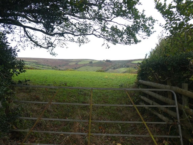
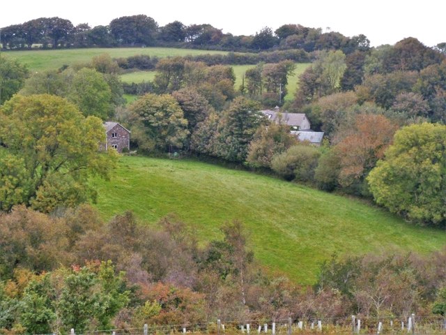
Brook Wood is a picturesque woodland area located in Devon, a county in southwest England. Covering an area of approximately 100 hectares, the wood is a prominent feature of the region's natural landscape. It is situated near the village of Woodleigh, just a few miles away from the town of Kingsbridge.

The woodland is primarily composed of broadleaf trees, including oak, beech, and ash, creating a rich and diverse environment. The dense canopy provides a habitat for a variety of wildlife, such as deer, badgers, and numerous bird species. Nature enthusiasts and birdwatchers are often drawn to the wood to observe the local fauna in their natural surroundings.

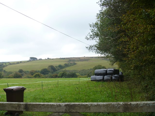
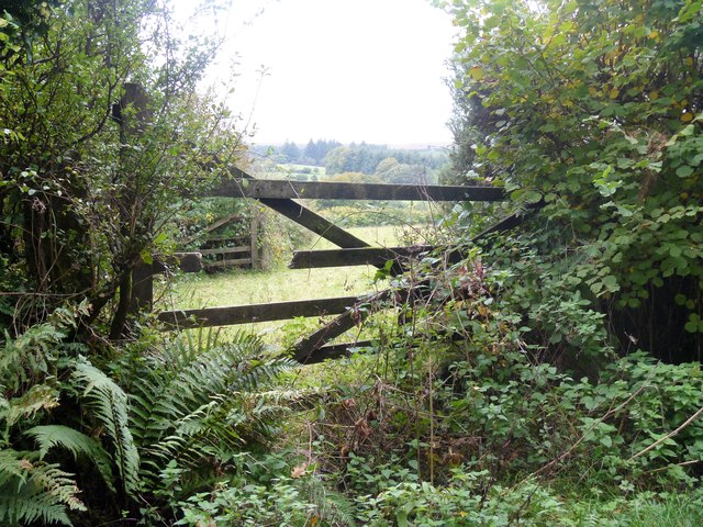
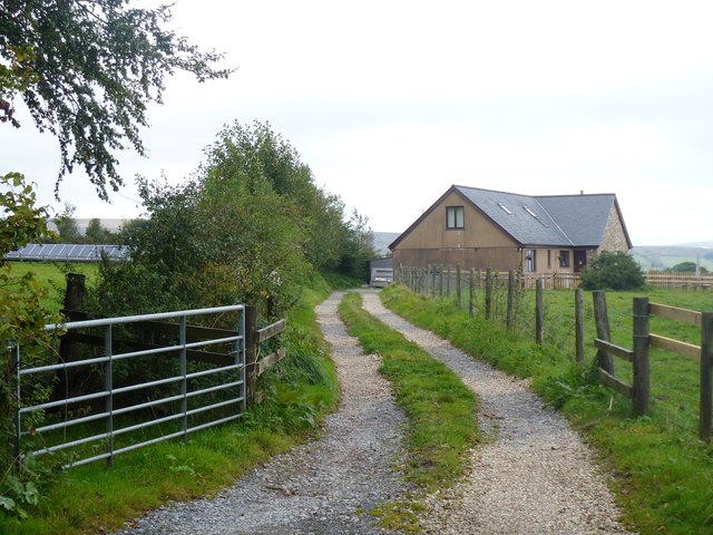
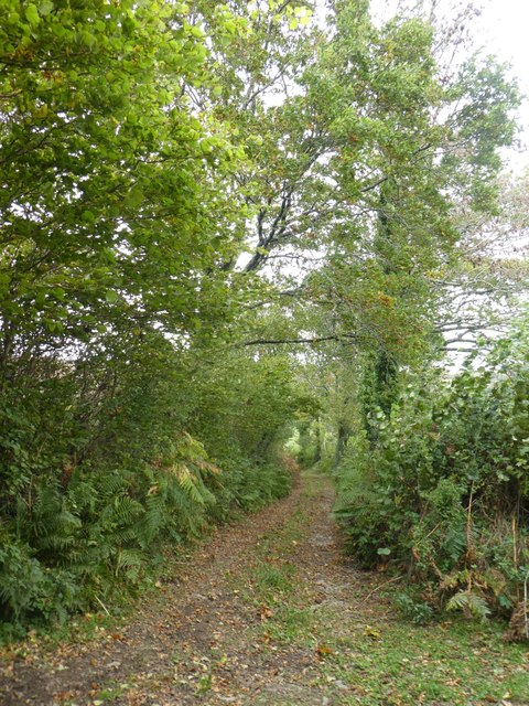
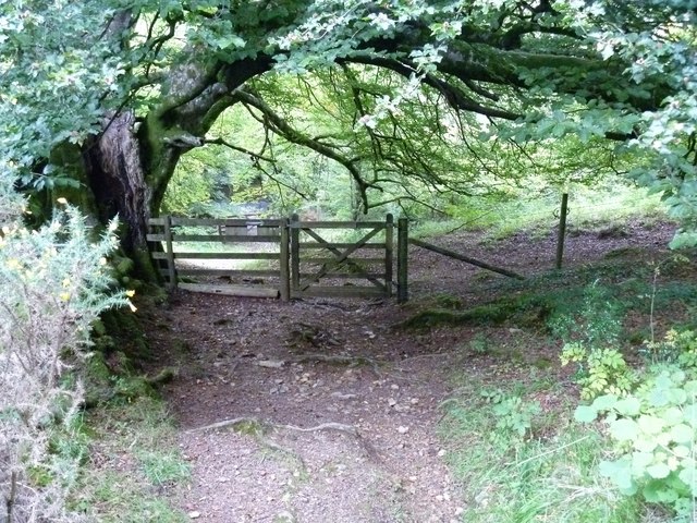
Visitors to Brook Wood can explore a network of well-maintained trails that wind through the forest. These paths offer opportunities for leisurely walks, jogging, or cycling, allowing visitors to immerse themselves in the tranquil ambiance of the wood. The wood also features a small stream, which adds to the overall charm of the area.

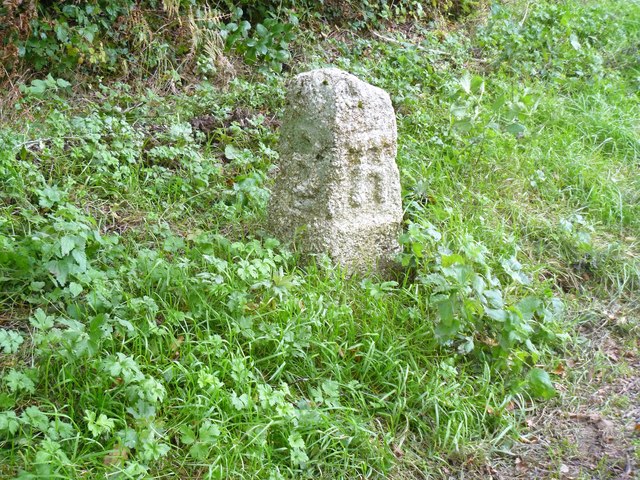
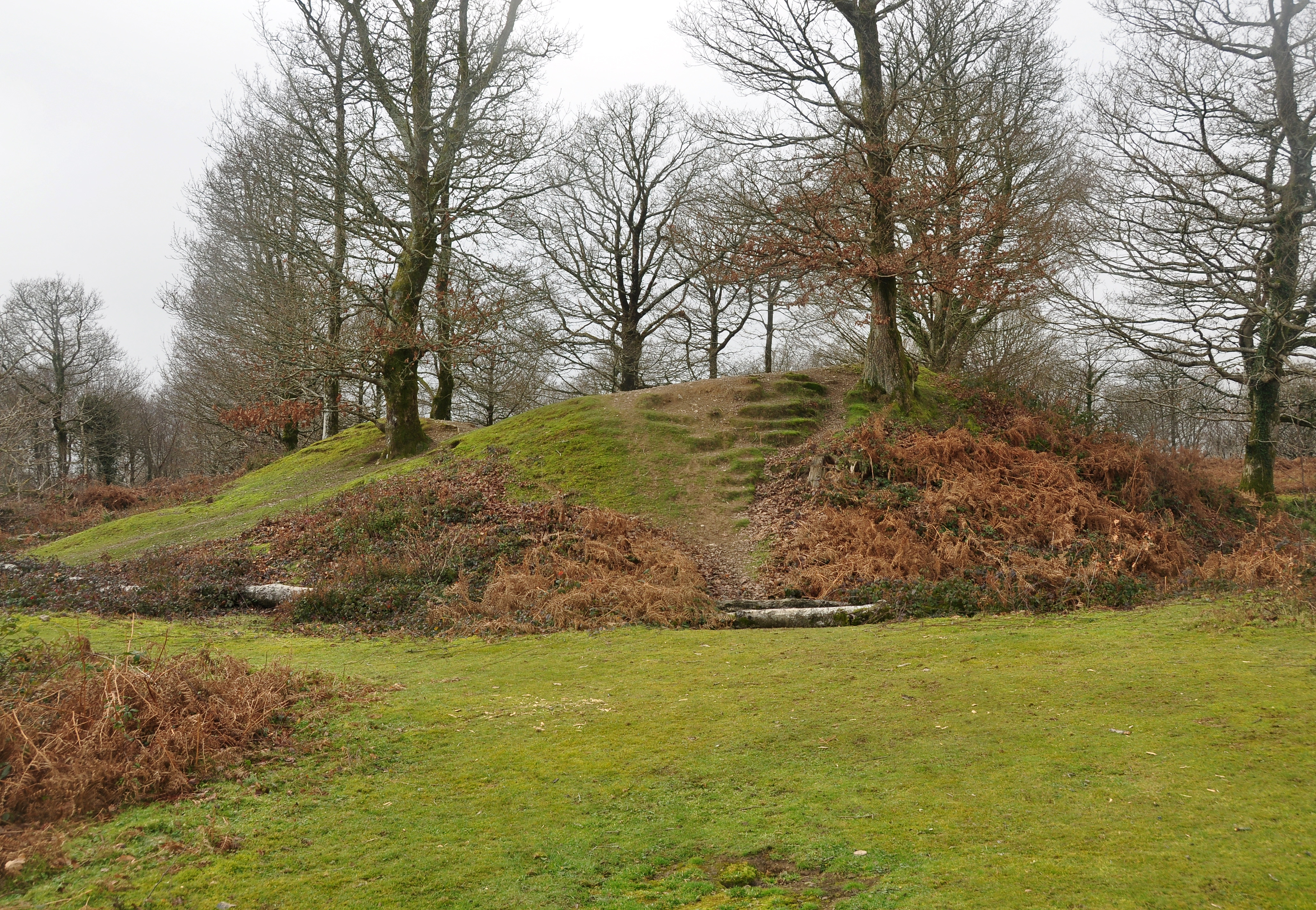
In addition to its natural beauty, Brook Wood holds historical significance. The wood has been managed by local conservation organizations for many years, ensuring its preservation and protection. It is also known for its archaeological interest, with evidence of human activity in the area dating back to ancient times.

Overall, Brook Wood in Devon is a cherished natural gem, offering a peaceful retreat for nature lovers and a glimpse into the region's rich history.

If you have any feedback on the listing, please let us know in the comments section below.

Brook Wood Images

Images are sourced within 2km of 50.490958/-3.8205865 or Grid Reference SX7067. Thanks to Geograph Open Source API. All images are credited.

Stone at the roadside Perhaps a boundary stone.
Stone at the roadside
Perhaps a boundary stone.
The way to the moor [1] At the road junction known as Cross Furzes, this 'no through road' leads past Haywood Hall to Lud gate and open moorland.
The way to the moor [1]
At the road junction known as Cross Furzes, this 'no through road' leads past Haywood Hall to Lud gate and open moorland.
Haylage store Seen from the minor road near the entrance to Forder Farm.
Haylage store
Seen from the minor road near the entrance to Forder Farm.
The way to the moor [2] This 'no through road' leads past Haywood Hall to Lud gate and open moorland.
The way to the moor [2]
This 'no through road' leads past Haywood Hall to Lud gate and open moorland.
Little used gate It would seem that this gate into the fields does not get used much.
Little used gate
It would seem that this gate into the fields does not get used much.
Bowdleigh A modern house seen from the minor road.
Bowdleigh
A modern house seen from the minor road.
Farm buildings Seen from the minor road.
Farm buildings
Seen from the minor road.
Moorside Cottage The gateway to the cottage is seen from the minor road.
Moorside Cottage
The gateway to the cottage is seen from the minor road.
The end of the road The public road ends at this point.  Beyond is a private road which is also a public bridleway leading to Lud Gate.  The entrance to Hayfodr Hall is on the left.
The end of the road
The public road ends at this point. Beyond is a private road which is also a public bridleway leading to Lud Gate. The entrance to Hayfodr Hall is on the left.
Wide downhill track into Scorriton A wide track, suggestive of a drove road from the village to pasture
Wide downhill track into Scorriton
A wide track, suggestive of a drove road from the village to pasture
Looking over the valley of Michel Combe The village of Michelcombe is hidden in the valley; moorland beyond
Looking over the valley of Michel Combe
The village of Michelcombe is hidden in the valley; moorland beyond
Farm track north of Two Moors Way The Two Moors Way runs for 163 km (102 miles) between Ivybridge and Lynmouth, across Dartmoor and Exmoor. It lies mostly in Devon but also passes through western Somerset, and was opened in 1976. 

See <span class="nowrap"><a title="http://www.devon.gov.uk/twomoorsway.pdf" rel="nofollow ugc noopener" href="http://www.devon.gov.uk/twomoorsway.pdf">Link</a><img style="margin-left:2px;" alt="External link" title="External link - shift click to open in new window" src="https://s1.geograph.org.uk/img/external.png" width="10" height="10"/></span> , <span class="nowrap"><a title="http://www.devon.gov.uk/two_moors_way.pdf" rel="nofollow ugc noopener" href="http://www.devon.gov.uk/two_moors_way.pdf">Link</a><img style="margin-left:2px;" alt="External link" title="External link - shift click to open in new window" src="https://s1.geograph.org.uk/img/external.png" width="10" height="10"/></span> or <span class="nowrap"><a title="http://www.devon.gov.uk/index/transport/public_rights_of_way/where_to_walk_and_ride/two_moors_way.htm" rel="nofollow ugc noopener" href="http://www.devon.gov.uk/index/transport/public_rights_of_way/where_to_walk_and_ride/two_moors_way.htm">Link</a><img style="margin-left:2px;" alt="External link" title="External link - shift click to open in new window" src="https://s1.geograph.org.uk/img/external.png" width="10" height="10"/></span> for brief introductions. For a GPS route map, see <span class="nowrap"><a title="http://www.haroldstreet.org.uk/routes/download/?walk=1474" rel="nofollow ugc noopener" href="http://www.haroldstreet.org.uk/routes/download/?walk=1474">Link</a><img style="margin-left:2px;" alt="External link" title="External link - shift click to open in new window" src="https://s1.geograph.org.uk/img/external.png" width="10" height="10"/></span> .
Farm track north of Two Moors Way
The Two Moors Way runs for 163 km (102 miles) between Ivybridge and Lynmouth, across Dartmoor and Exmoor. It lies mostly in Devon but also passes through western Somerset, and was opened in 1976. See LinkExternal link , LinkExternal link or LinkExternal link for brief introductions. For a GPS route map, see LinkExternal link .
Field access track with bales Looking south from the Two Moors Way west of Scorriton
Field access track with bales
Looking south from the Two Moors Way west of Scorriton
On Lambs Down [2] The bridleway runs across the hillside of Lambs Down affording some wonderful views.
On Lambs Down [2]
The bridleway runs across the hillside of Lambs Down affording some wonderful views.
Forder Farm The farm is seen, across the valley, from the bridleway.
Forder Farm
The farm is seen, across the valley, from the bridleway.
On Lambs Down [3] The bridleways starts to descend to cross Dean Burn.
On Lambs Down [3]
The bridleways starts to descend to cross Dean Burn.
On Lambs Down [4] On its descent to cross Dean Burn, the bridleway passes through an area of gorse.
On Lambs Down [4]
On its descent to cross Dean Burn, the bridleway passes through an area of gorse.
Towards the burn The bridleway drops steeply towards its crossing of Dean Burn.
Towards the burn
The bridleway drops steeply towards its crossing of Dean Burn.
Show me another place!

Brook Wood is located at Grid Ref: SX7067 (Lat: 50.490958, Lng: -3.8205865)

Administrative County: Devon

District: South Hams

Police Authority: Devon and Cornwall

What 3 Words

///fats.avoid.flush. Near Buckfastleigh, Devon

Related Wikis

West Buckfastleigh

West Buckfastleigh is a small civil parish in the South Hams district, on the eastern border of Dartmoor in Devon, England. Situated within the parish...

Combe, Buckfastleigh, Devon

Combe is a small village in the county of Devon, England. It lies on the River Mardle about 2 miles north west of the town of Buckfastleigh. == References ==

Scorriton

Scorriton is a tiny village in the county of Devon, England, and the main centre of habitation of the parish of West Buckfastleigh. == Description == The...

Hembury Castle, Buckfast

Hembury Castle is an Iron Age hillfort about a mile north-west of the village of Buckfast on the south-eastern edge of Dartmoor in Devon, England (grid...

Holne

Holne is a village and civil parish on the southeastern slopes of Dartmoor in Devon, England. A community has existed here since at least the 11th century...

Buckfast

Buckfast is a small village near Buckfastleigh in Teignbridge district, Devon, England, on the bank of the River Dart. It is the home of Buckfast Abbey...

Buckfastleigh

Buckfastleigh is a market town and civil parish in Devon, England situated beside the Devon Expressway (A38) at the edge of the Dartmoor National Park...

Buckfast Abbey

Buckfast Abbey forms part of an active Benedictine monastery at Buckfast, near Buckfastleigh, Devon, England. Buckfast first became home to an abbey in...

Nearby Amenities

Located within 500m of 50.490958,-3.8205865
Parklands Farm
Place: farm
Wpt Symbol: Dot
Lat/Long: 50.4893708/-3.8145883
Generator Method: photovoltaic
Generator Output Electricity: yes
Generator Source: solar
Generator Type: solar_photovoltaic_panel
Location: roof
Power: generator
Lat/Long: 50.4894754/-3.8147731
The data included in this document is from www.openstreetmap.org. The data is made available under ODbL.

Have you been to Brook Wood?

Leave your review of Brook Wood below (or comments, questions and feedback).