West Buckfastleigh
Civil Parish in Devon South Hams
England
West Buckfastleigh
West Buckfastleigh is a civil parish located in the county of Devon, England. Situated in the South Hams district, it lies approximately 4 miles northwest of the town of Buckfastleigh and 12 miles southeast of the city of Plymouth. The parish covers an area of about 5 square miles and is home to a small population of around 200 residents.
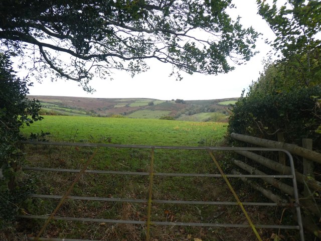
The village of West Buckfastleigh is set in a picturesque rural landscape, surrounded by rolling hills and farmland. It is characterized by its quaint, traditional cottages and charming stone buildings, which give it a timeless and idyllic feel. The village is primarily residential, with a few local amenities, including a church, a village hall, and a small primary school.
The landscape of West Buckfastleigh is dominated by the River Dart, which flows through the parish, offering beautiful views and recreational opportunities for residents and visitors alike. The river is also a popular spot for fishing, with a variety of fish species present.
The parish is well-connected to neighboring towns and cities by road, with the A38 expressway just a short distance away. This provides convenient access to Plymouth, Exeter, and other parts of Devon and beyond. The nearby Dartmoor National Park is also easily accessible, offering residents the opportunity to enjoy outdoor activities such as hiking, cycling, and exploring the stunning natural beauty of the moorland.
Overall, West Buckfastleigh is a peaceful and scenic civil parish, offering a tranquil rural lifestyle within close proximity to larger towns and cities.
If you have any feedback on the listing, please let us know in the comments section below.
West Buckfastleigh Images
Images are sourced within 2km of 50.492006/-3.831571 or Grid Reference SX7067. Thanks to Geograph Open Source API. All images are credited.
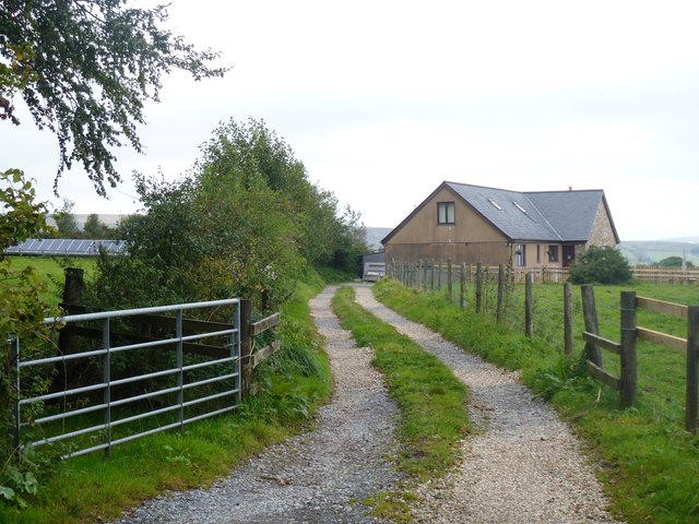
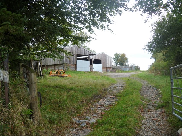
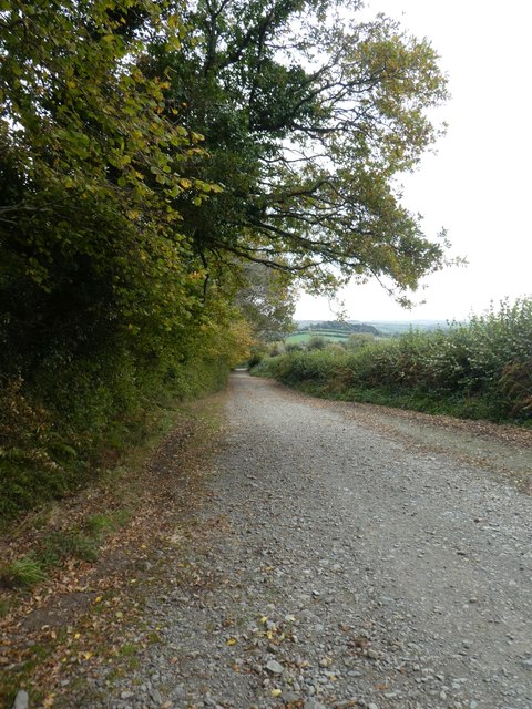
![The way to the moor [1] At the road junction known as Cross Furzes, this 'no through road' leads past Haywood Hall to Lud gate and open moorland.](https://s0.geograph.org.uk/geophotos/05/95/37/5953776_e96f4173.jpg)
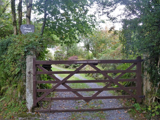
![The way to the moor [2] This 'no through road' leads past Haywood Hall to Lud gate and open moorland.](https://s1.geograph.org.uk/geophotos/05/95/37/5953781_b0adcc24.jpg)
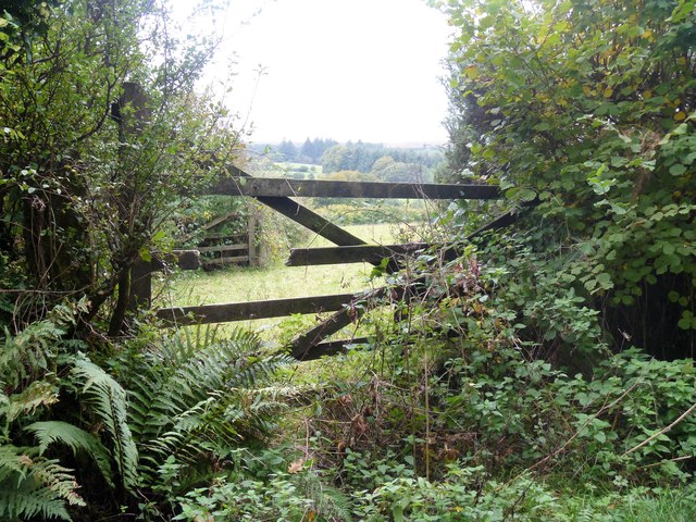
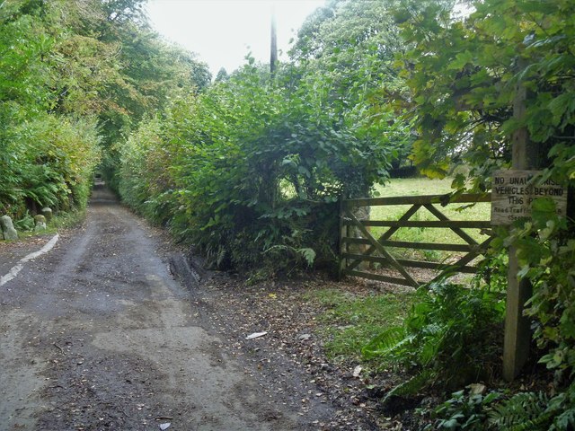
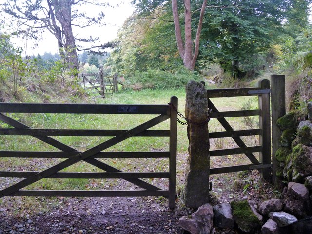
![The way to the moor [3] Now a private road and public bridleway, this 'no through road' leads to Lud gate and open moorland.](https://s3.geograph.org.uk/geophotos/05/95/37/5953791_db47146b.jpg)
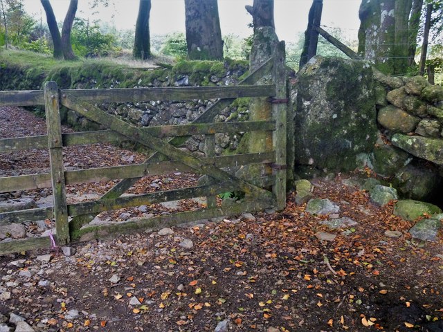
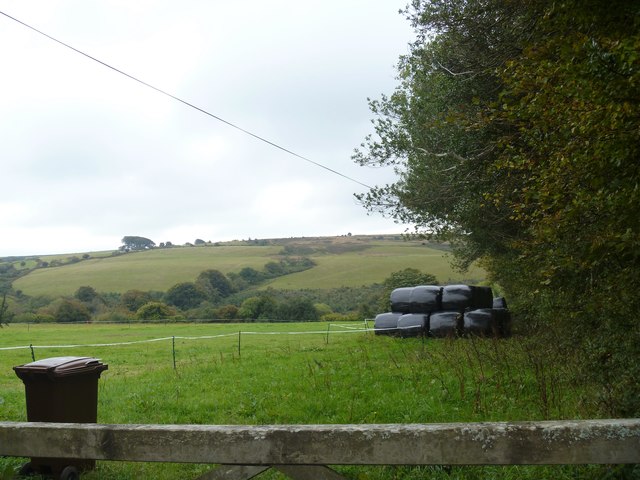
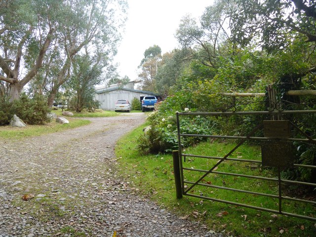
![Buckfastleigh Moor [1] Beyond Lud Gate, Buckfastleigh Moor is open access land and several vague paths and tracks fan out.](https://s3.geograph.org.uk/geophotos/05/95/37/5953799_4a8977a2.jpg)
![Buckfastleigh Moor [2] This vague path, one of several, leads across the moor.](https://s0.geograph.org.uk/geophotos/05/95/38/5953800_8501063b.jpg)
West Buckfastleigh is located at Grid Ref: SX7067 (Lat: 50.492006, Lng: -3.831571)
Administrative County: Devon
District: South Hams
Police Authority: Devon & Cornwall
What 3 Words
///smiled.catapult.palms. Near Buckfastleigh, Devon
Nearby Locations
Related Wikis

West Buckfastleigh
West Buckfastleigh is a small civil parish in the South Hams district, on the eastern border of Dartmoor in Devon, England. Situated within the parish...

Scorriton
Scorriton is a tiny village in the county of Devon, England, and the main centre of habitation of the parish of West Buckfastleigh. == Description == The...

Combe, Buckfastleigh, Devon
Combe is a small village in the county of Devon, England. It lies on the River Mardle about 2 miles north west of the town of Buckfastleigh. == References ==

Holne
Holne is a village and civil parish on the southeastern slopes of Dartmoor in Devon, England. A community has existed here since at least the 11th century...
Nearby Amenities
Located within 500m of 50.492006,-3.831571Have you been to West Buckfastleigh?
Leave your review of West Buckfastleigh below (or comments, questions and feedback).