Alderpark Plantation

Wood, Forest in Devon West Devon

England

Alderpark Plantation

Chagford - Otter Floral decorated otter model on Mill Street.
Chagford - Otter Credit: Colin Smith

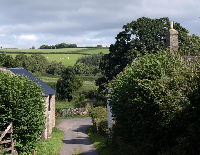
Alderpark Plantation is a picturesque wood located in the county of Devon, England. Situated in the heart of the countryside, this sprawling forest covers an area of approximately 500 acres. The plantation is known for its dense population of alder trees, which gives it its name. These majestic trees dominate the landscape, creating a tranquil and serene environment for visitors.

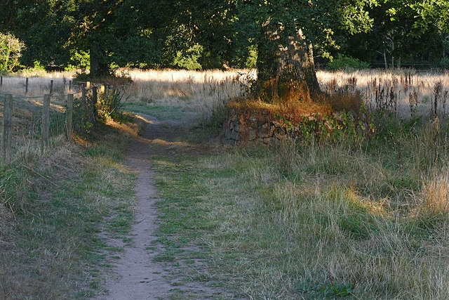
The woodland of Alderpark Plantation is a diverse ecosystem, offering a home to a wide variety of flora and fauna. The forest floor is covered with a lush carpet of ferns, mosses, and wildflowers, providing a rich habitat for numerous species of insects and small mammals. The towering alder trees provide nesting sites for birds, including woodpeckers, owls, and various songbirds.

The plantation is intersected by a network of walking trails, inviting visitors to explore its natural beauty. The trails wind their way through the wood, offering breathtaking views and opportunities for wildlife spotting. Along the paths, visitors can also find several picnic areas and benches, providing a perfect spot to relax and enjoy the peaceful surroundings.

Alderpark Plantation is a popular destination for nature lovers, hikers, and birdwatchers. The serene atmosphere and diverse wildlife make it an ideal place for those seeking solace in nature. Additionally, the plantation is open to the public throughout the year, allowing visitors to experience the changing seasons and the stunning displays of autumn colors.

Overall, Alderpark Plantation is a magnificent woodland in Devon, offering a haven of tranquility and natural beauty for all who venture into its depths.

If you have any feedback on the listing, please let us know in the comments section below.

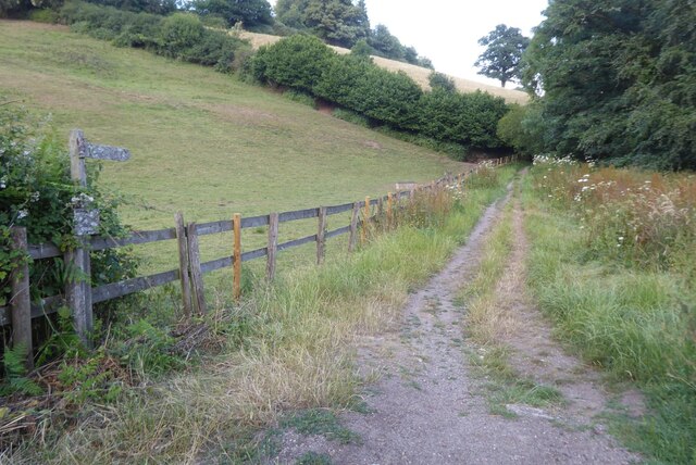
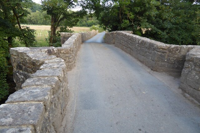
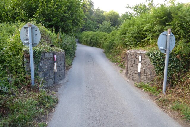
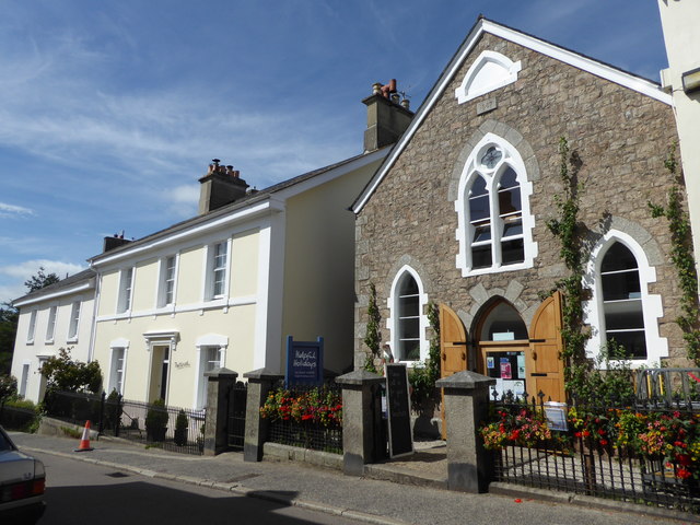
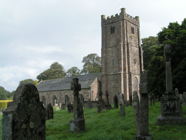
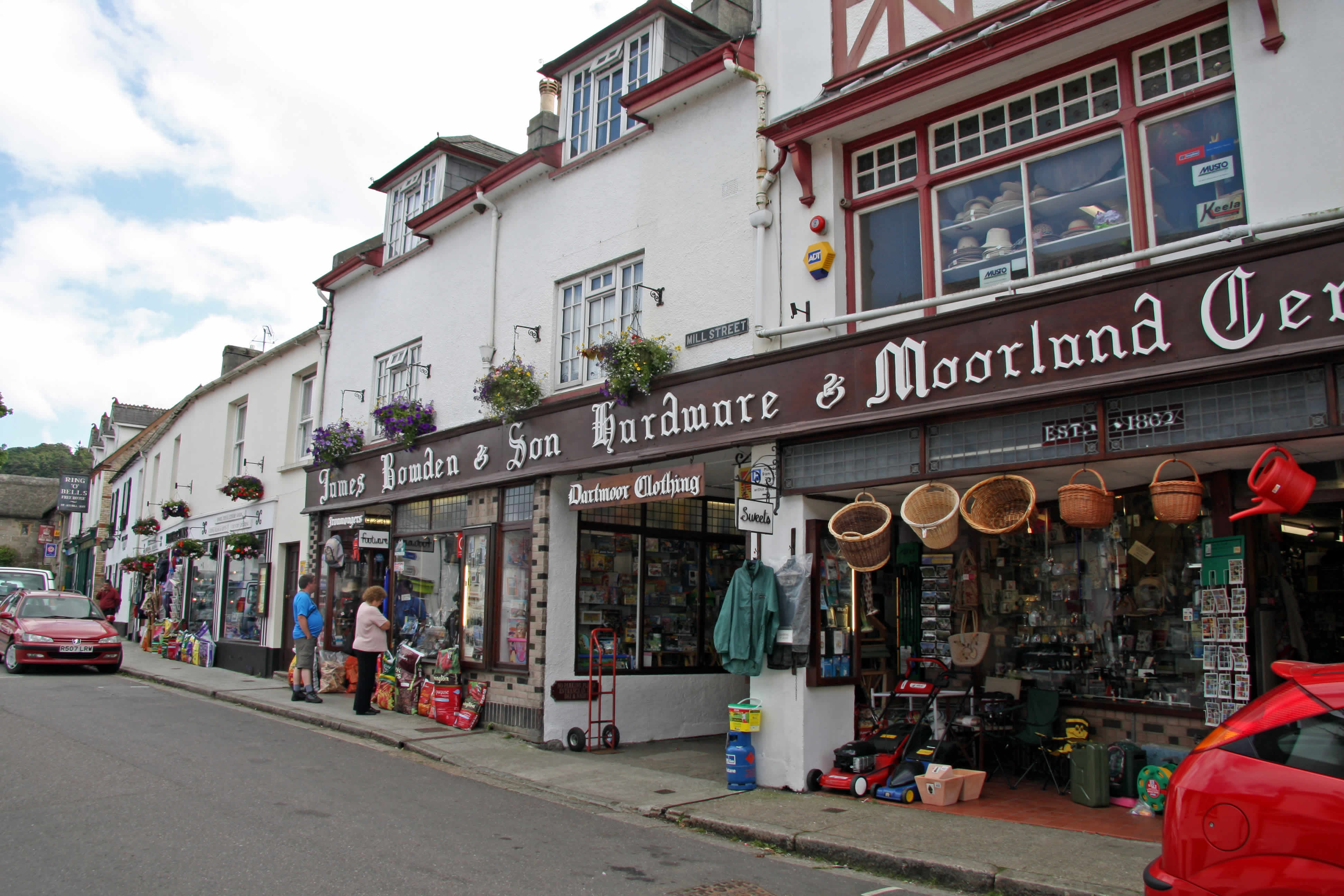
Alderpark Plantation Images

Images are sourced within 2km of 50.67115/-3.8307768 or Grid Reference SX7087. Thanks to Geograph Open Source API. All images are credited.

Chagford - Otter Floral decorated otter model on Mill Street.
Chagford - Otter
Floral decorated otter model on Mill Street.
Track in the Teign valley The Taw-Teign Link a long distance footpath connecting the rivers Taw and Teign.
Track in the Teign valley
The Taw-Teign Link a long distance footpath connecting the rivers Taw and Teign.
Chagford Bridge Chagford Bridge crossing the River Teign.
Chagford Bridge
Chagford Bridge crossing the River Teign.
Narrow road Road width restriction bollards on the approach Chagford Bridge.
Narrow road
Road width restriction bollards on the approach Chagford Bridge.
Houses in Mill Street Chagford
Looking down Mill Street Chagford
Near Chagford An oak illuminated by the evening sun on farmland near the old wool mill on the River Teign.
Near Chagford
An oak illuminated by the evening sun on farmland near the old wool mill on the River Teign.
Chagford Bridge The old stone bridge over the River Teign near Chagford.
Chagford Bridge
The old stone bridge over the River Teign near Chagford.
Chagford Wool Mill The old wool mill on the River Teign now converted to a hotel.
Chagford Wool Mill
The old wool mill on the River Teign now converted to a hotel.
Mill Street, Chagford Looking east towards the town square.
Mill Street, Chagford
Looking east towards the town square.
Two Moors Way, Chagford The Two Moors Way running north of the River Teign near Chagford Bridge.
Two Moors Way, Chagford
The Two Moors Way running north of the River Teign near Chagford Bridge.
View from the Two Moors Way Looking across the fields from the Two Moors Way towards the houses near Chagford Bridge.
View from the Two Moors Way
Looking across the fields from the Two Moors Way towards the houses near Chagford Bridge.
Evening sunlight, Two Moors Way Evening sunlight on the Two Moors Way along the River Teign east of Chagford Bridge.
Evening sunlight, Two Moors Way
Evening sunlight on the Two Moors Way along the River Teign east of Chagford Bridge.
Mill Street and former chapel, Chagford The former chapel is now Helpful Holidays.
Mill Street and former chapel, Chagford
The former chapel is now Helpful Holidays.
Lane on Meldon Hill From close to the top of the green lane down past Yellands Farm, with fragments of snow by the wall.
Lane on Meldon Hill
From close to the top of the green lane down past Yellands Farm, with fragments of snow by the wall.
Into the common The path leaves the field and passes into Padley Common which is open access land.
Into the common
The path leaves the field and passes into Padley Common which is open access land.
Out of the common The path leaves Padley Common through this gate.  The bank is the edge of the War Memorial Playing Fields which have been levelled.
Out of the common
The path leaves Padley Common through this gate. The bank is the edge of the War Memorial Playing Fields which have been levelled.
Playing fields A view to the pavilions from a corner of the War Memorial Playing Fields.
Playing fields
A view to the pavilions from a corner of the War Memorial Playing Fields.
Show me another place!

Alderpark Plantation is located at Grid Ref: SX7087 (Lat: 50.67115, Lng: -3.8307768)

Administrative County: Devon

District: West Devon

Police Authority: Devon and Cornwall

What 3 Words

///flash.donor.duplicity. Near Chagford, Devon

Related Wikis

St Michael the Archangel's Church, Chagford

St Michael the Archangel's Church, Chagford is a Grade I listed parish church in the Church of England Diocese of Exeter in Chagford, Devon. == History... ==

The Three Crowns Hotel

The Three Crowns Hotel, also Three Crowns Chagford, is a historical hotel in Chagford, Devon, England. The hotel, noted for its granite facade and 13th...

Chagford

Chagford is a market town and civil parish on the north-east edge of Dartmoor, in Devon, England, close to the River Teign and the A382, 4 miles (6 km...

Batworthy

Batworthy is a village in Devon, England. == References ==

Miniature Pony Centre

The Miniature Pony Centre was a farm tourist attraction based in the center of the Dartmoor National Park, near Moretonhampstead. In 2023, it permanently...

Castle Drogo

Castle Drogo is a country house and mixed-revivalist castle near Drewsteignton, Devon, England. Constructed between 1911 and 1930, it was the last castle...

Gidleigh Park

Gidleigh Park is a hotel and restaurant located in Gidleigh, near Chagford, Devon, England. Chris Eden joined as Executive Head Chef in September 2019...

Frenchbeer

Frenchbeer is a settlement in Devon, England. It is in Dartmoor national park. Fernworthy reservoir is to the south and so is the South Teign river. Chagford...

Nearby Amenities

Located within 500m of 50.67115,-3.8307768
Westcott Cross
Junction: yes
Place: locality
Lat/Long: 50.6739785/-3.8265357
Nattadon
Lat/Long: 50.6678507/-3.8328154
Westcott Farm
Wpt Symbol: Dot
Lat/Long: 50.6740614/-3.8269221
Ford: yes
Lat/Long: 50.6710059/-3.8265582
Barrier: stile
Lat/Long: 50.6709805/-3.8264993
Barrier: kissing_gate
Lat/Long: 50.6731408/-3.8282284
Barrier: stile
Lat/Long: 50.6702666/-3.8249644
Post Box
Brand: Royal Mail
Brand Wikidata: Q638098
Brand Wikipedia: en:Royal Mail
Collection Times: Mo-Fr 09:00; Sa 07:00; Su off
Drive Through: no
Note: This used to be a rare VR lamp box affixed to a concrete post
Operator: Royal Mail
Operator Wikidata: Q638098
Post Box Mounting: pier
Post Box Type: lamp
Ref: TQ13 29D
Royal Cypher: EIIR
Royal Cypher Wikidata: Q33102113
Source: aerial imagery;streetlevel imagery;survey
Lat/Long: 50.6739433/-3.8264759
The data included in this document is from www.openstreetmap.org. The data is made available under ODbL.

Have you been to Alderpark Plantation?

Leave your review of Alderpark Plantation below (or comments, questions and feedback).