Springsland Copse

Wood, Forest in Devon Mid Devon

England

Springsland Copse

Footpath sign near Southdown
Footpath sign near Southdown Credit: Roger Cornfoot

The requested URL returned error: 429 Too Many Requests

If you have any feedback on the listing, please let us know in the comments section below.

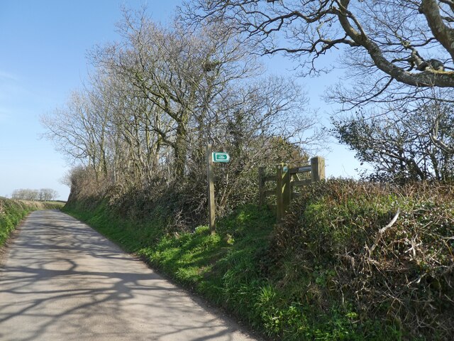
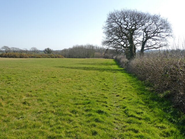
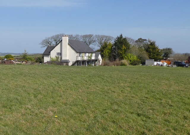
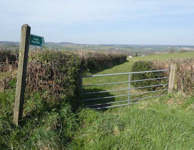
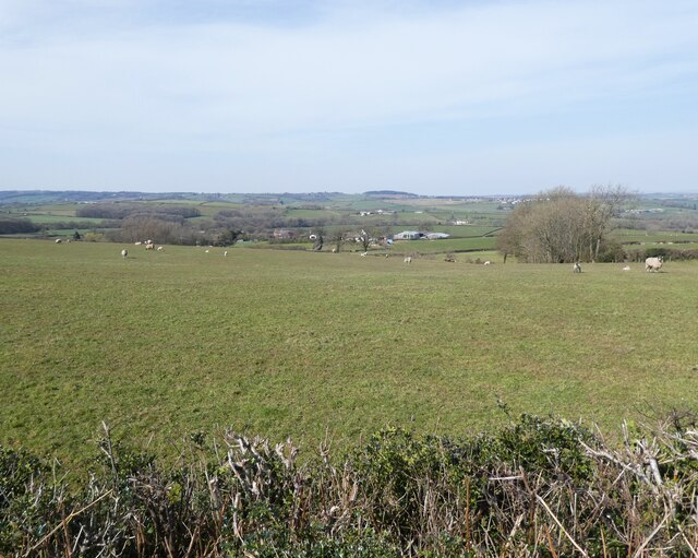
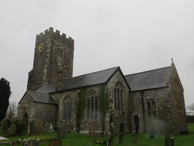
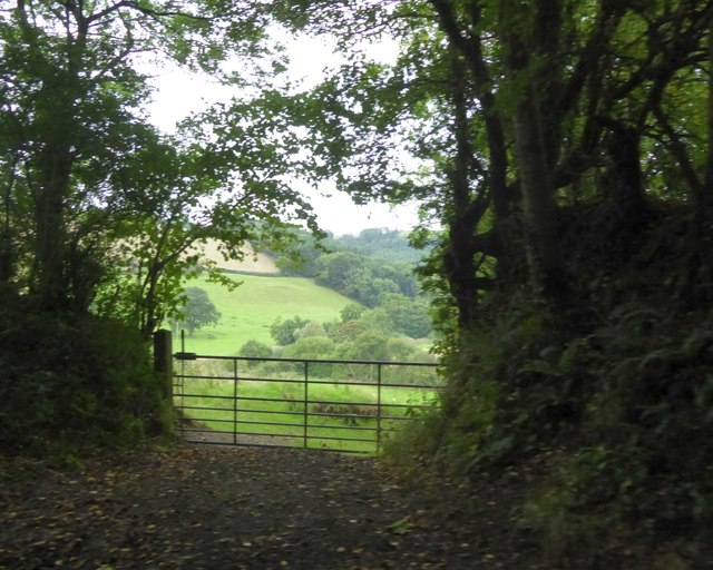
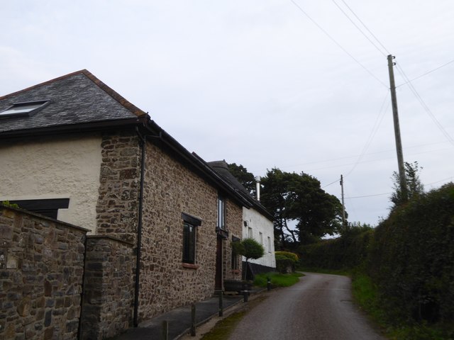
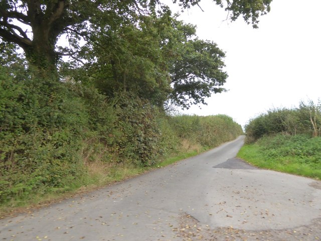
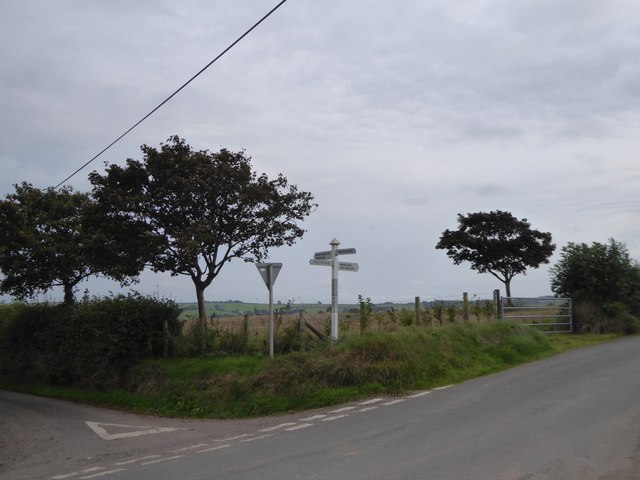
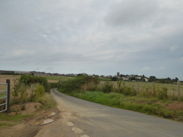
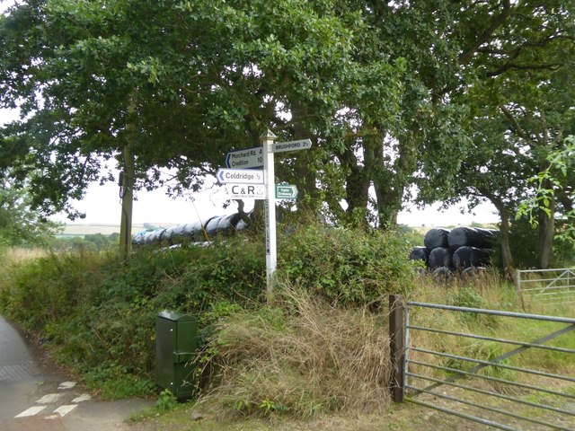
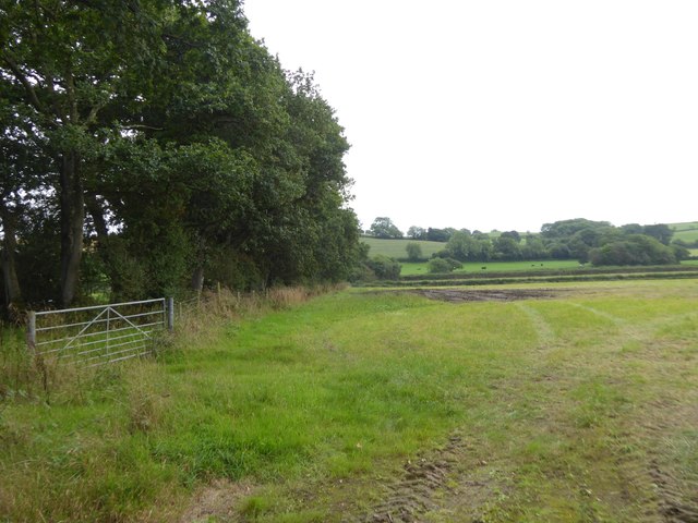
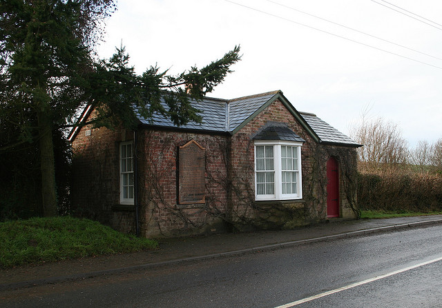
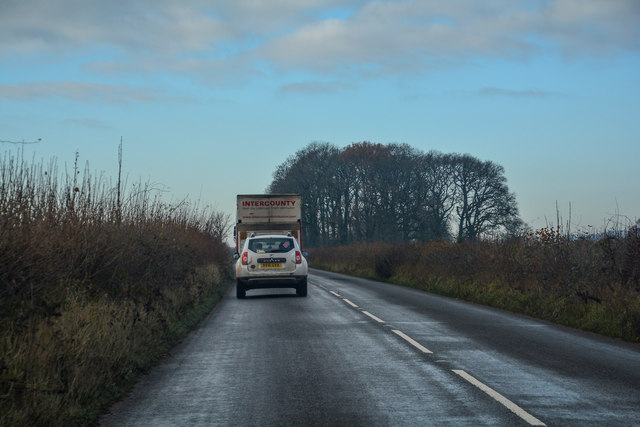
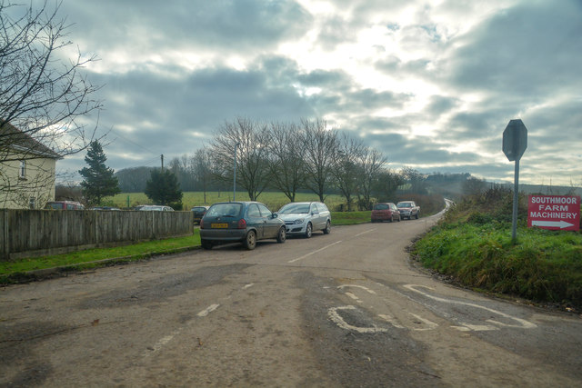
Springsland Copse Images

Images are sourced within 2km of 50.837807/-3.8615937 or Grid Reference SS6905. Thanks to Geograph Open Source API. All images are credited.

Footpath sign near Southdown
Path to Foldhay
Path to Foldhay
'Southdown'
'Southdown'
Footpath to Birch Farm
Pasture, above East Leigh
The Church of St Matthew at Coldridge Viewed from the south-east.
The Church of St Matthew at Coldridge
Viewed from the south-east.
Field near Bankland Farm
View from Holm Wood to Taw valley A gateway for the bridleway into the valley from Holm Hill and Holm Wood
View from Holm Wood to Taw valley
A gateway for the bridleway into the valley from Holm Hill and Holm Wood
Holm on Holm Hill A farm and barn conversion by the minor road from Coldridge Bridge
Holm on Holm Hill
A farm and barn conversion by the minor road from Coldridge Bridge
Road to Coldridge from Holm Cross
Burrowplot Cross
Burrowplot Cross
The road to Coldridge The village is set on a ridge amidst farming country
The road to Coldridge
The village is set on a ridge amidst farming country
Signpost at Church Lane Cross
Bridleway south of Church Lane Cross This leads to Chilverton <a href="https://www.geograph.org.uk/photo/2329855">SS6906 : Bridleway, Chilverton</a>
Bridleway south of Church Lane Cross
This leads to Chilverton SS6906 : Bridleway, Chilverton
Old Toll House by the B3220, Winkleigh Road, Taw Bridge Toll House by the B3220, in the parish of Coldridge (Mid Devon District), Taw Bridge Tollhouse, Winkleigh Road.
(See <span class="nowrap"><a title="https://www.flickr.com/photos/tollhouses/3202590990" rel="nofollow ugc noopener" href="https://www.flickr.com/photos/tollhouses/3202590990">Link</a><img style="margin-left:2px;" alt="External link" title="External link - shift click to open in new window" src="https://s1.geograph.org.uk/img/external.png" width="10" height="10"/></span> for a photo of the list of tolls shown on the left of the building.)

Grade II listed.
List Entry Number: 1162901 <span class="nowrap"><a title="https://historicengland.org.uk/listing/the-list/list-entry/1162901" rel="nofollow ugc noopener" href="https://historicengland.org.uk/listing/the-list/list-entry/1162901">Link</a><img style="margin-left:2px;" alt="External link" title="External link - shift click to open in new window" src="https://s1.geograph.org.uk/img/external.png" width="10" height="10"/></span>

Surveyed

Milestone Society National ID: DV.COL
Old Toll House by the B3220, Winkleigh Road, Taw Bridge
Toll House by the B3220, in the parish of Coldridge (Mid Devon District), Taw Bridge Tollhouse, Winkleigh Road. (See LinkExternal link for a photo of the list of tolls shown on the left of the building.) Grade II listed. List Entry Number: 1162901 LinkExternal link Surveyed Milestone Society National ID: DV.COL
Coldridge : The B3220 Looking along the B3220 through the Coldridge parish.
Coldridge : The B3220
Looking along the B3220 through the Coldridge parish.
Coldridge : Country Lane Looking along a road off the B3220.
Coldridge : Country Lane
Looking along a road off the B3220.
Coldridge : The B3220 Looking along the B3220 through the Coldridge parish.
Coldridge : The B3220
Looking along the B3220 through the Coldridge parish.
Show me another place!

Springsland Copse is located at Grid Ref: SS6905 (Lat: 50.837807, Lng: -3.8615937)

Administrative County: Devon

District: Mid Devon

Police Authority: Devon and Cornwall

What 3 Words

///flops.troubled.roughness. Near North Tawton, Devon

Related Wikis

Coldridge

Coldridge or Coleridge is a village and parish in Devon, England. It appears in the Domesday Book of 1086 as Colrige, which is thought to mean ‘the ridge...

Brushford, Devon

Brushford is a village and civil parish in the Mid Devon district of Devon in England. According to the 2001 census it had a population of 59. The village...

Nymet Rowland

Nymet Rowland is a small village, and civil parish of the same name, in central Devon, England, north of Dartmoor. It takes part of its name from "Nymet...

Zeal Monachorum

Zeal Monachorum (; Latin translation Cell of the Monks) is a village and civil parish in the Mid Devon district of Devon, England, about 18 miles (29 km...

Have you been to Springsland Copse?

Leave your review of Springsland Copse below (or comments, questions and feedback).