East Leigh

Settlement in Devon Mid Devon

England

East Leigh

Old Boundary Marker on Great Wooden Bridge Parish Boundary Marker against the south end of the east parapet of Great Wooden Bridge. On the boundary of Zeal Monachorum and North Tawton parishes. 
Inscribed ZEAL / P and N / TAWTON / P on adjacent faces.
Grade II Listed details <span class="nowrap"><a title="https://historicengland.org.uk/listing/the-list/list-entry/1163290" rel="nofollow ugc noopener" href="https://historicengland.org.uk/listing/the-list/list-entry/1163290">Link</a><img style="margin-left:2px;" alt="External link" title="External link - shift click to open in new window" src="https://s1.geograph.org.uk/img/external.png" width="10" height="10"/></span>. See also <a title="https://www.geograph.org.uk/photo/3225790" href="https://www.geograph.org.uk/photo/3225790">Link</a>.

Milestone Society National ID: DV_ZMNT01pb
Old Boundary Marker on Great Wooden Bridge Credit: A Rosevear

East Leigh is a small coastal village located in the county of Devon, England. Situated on the eastern edge of the picturesque Exe Estuary, it offers stunning views of the surrounding natural beauty. With a population of around 500 residents, East Leigh maintains a close-knit community feel.

The village is renowned for its tranquil atmosphere and idyllic setting. Its location makes it a popular destination for outdoor enthusiasts, as it provides ample opportunities for activities such as sailing, fishing, and birdwatching. The nearby East Leigh Beach is a hotspot for families and visitors looking to enjoy the sandy shores and take in the panoramic views.

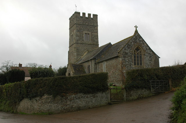
East Leigh is also rich in history, with evidence of human settlement dating back to the Stone Age. The village boasts several well-preserved historical landmarks, including St. Andrew's Church, a beautiful medieval structure that attracts architecture enthusiasts and history buffs alike.

Despite its relatively small size, East Leigh offers a range of amenities to cater to both residents and visitors. These include a local pub, a village shop, and a community center that hosts various events throughout the year, fostering a strong sense of community spirit.

Overall, East Leigh, Devon, is a charming coastal village that combines natural beauty, historical significance, and a welcoming community atmosphere, making it a delightful destination for those seeking tranquility and connection with nature.

If you have any feedback on the listing, please let us know in the comments section below.
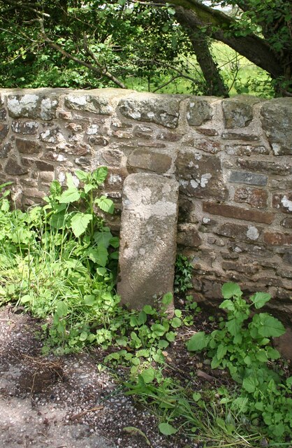
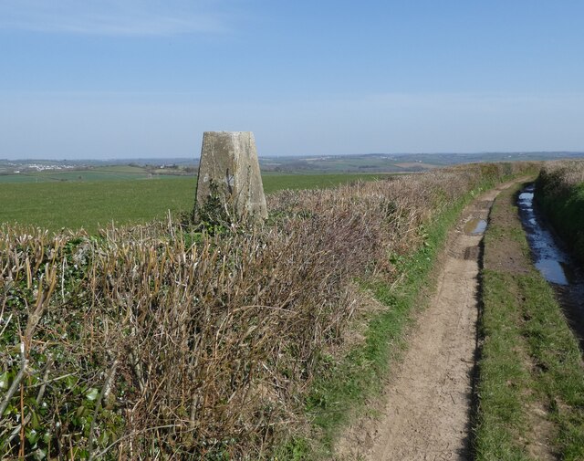
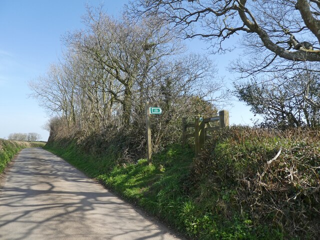
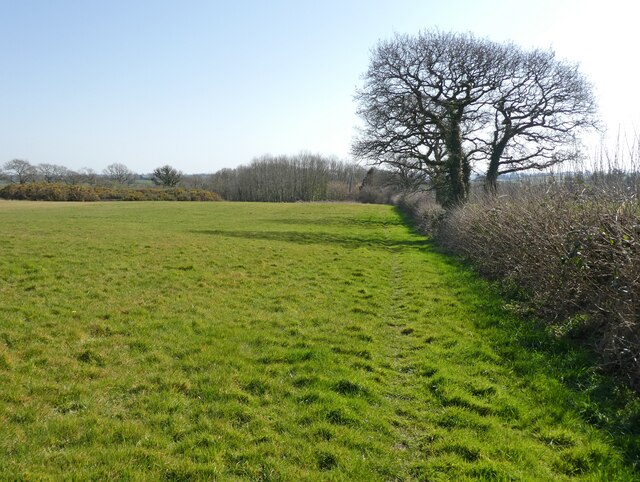
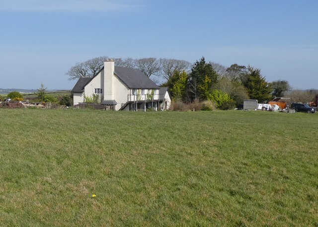
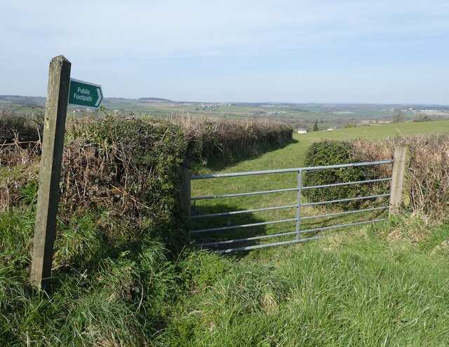
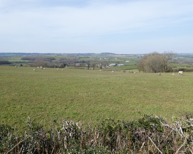
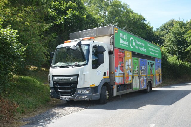
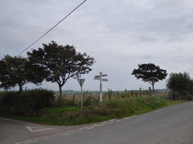
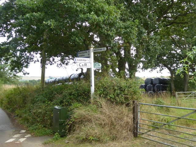
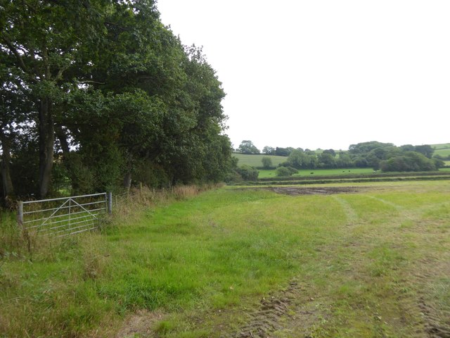
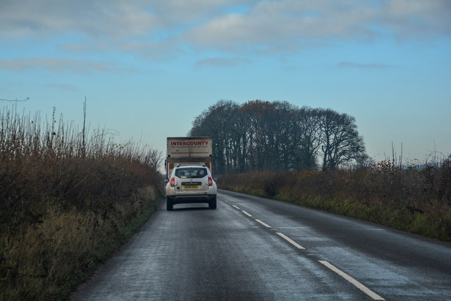
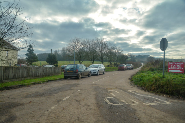
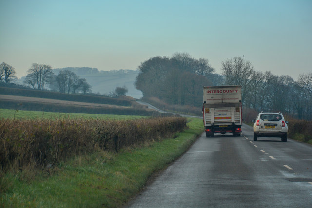
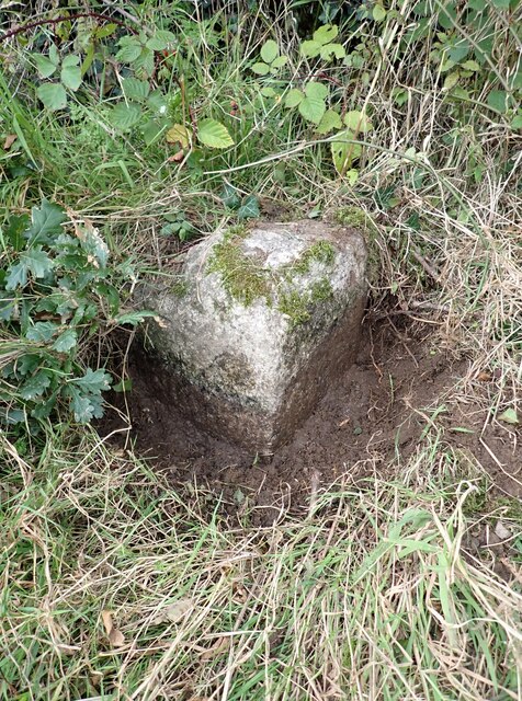
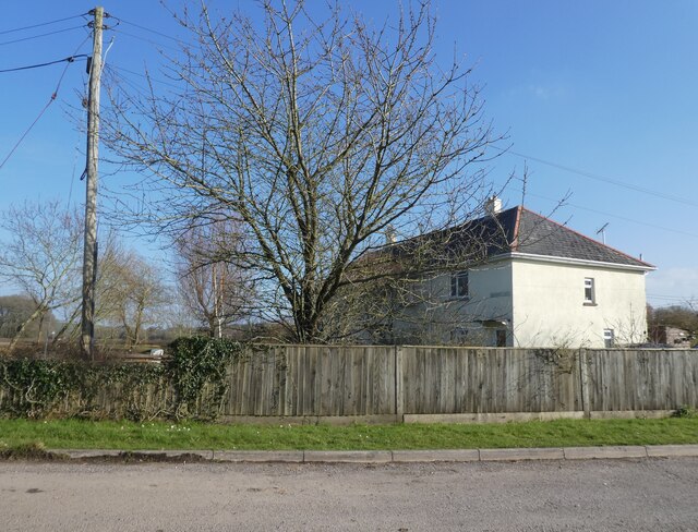
East Leigh Images

Images are sourced within 2km of 50.832431/-3.853841 or Grid Reference SS6905. Thanks to Geograph Open Source API. All images are credited.

Old Boundary Marker on Great Wooden Bridge Parish Boundary Marker against the south end of the east parapet of Great Wooden Bridge. On the boundary of Zeal Monachorum and North Tawton parishes. 
Inscribed ZEAL / P and N / TAWTON / P on adjacent faces.
Grade II Listed details <span class="nowrap"><a title="https://historicengland.org.uk/listing/the-list/list-entry/1163290" rel="nofollow ugc noopener" href="https://historicengland.org.uk/listing/the-list/list-entry/1163290">Link</a><img style="margin-left:2px;" alt="External link" title="External link - shift click to open in new window" src="https://s1.geograph.org.uk/img/external.png" width="10" height="10"/></span>. See also <a title="https://www.geograph.org.uk/photo/3225790" href="https://www.geograph.org.uk/photo/3225790">Link</a>.

Milestone Society National ID: DV_ZMNT01pb
Old Boundary Marker on Great Wooden Bridge
Parish Boundary Marker against the south end of the east parapet of Great Wooden Bridge. On the boundary of Zeal Monachorum and North Tawton parishes. Inscribed ZEAL / P and N / TAWTON / P on adjacent faces. Grade II Listed details LinkExternal link. See also Link. Milestone Society National ID: DV_ZMNT01pb
Trig point near Birch Cross
Footpath sign near Southdown
Path to Foldhay
Path to Foldhay
'Southdown'
'Southdown'
Footpath to Birch Farm
Pasture, above East Leigh
Coldridge : B3220 A recycling lorry belonging to Mid Devon District Council on the roadside.
Coldridge : B3220
A recycling lorry belonging to Mid Devon District Council on the roadside.
Field near Bankland Farm
Burrowplot Cross
Burrowplot Cross
Signpost at Church Lane Cross
Bridleway south of Church Lane Cross This leads to Chilverton <a href="https://www.geograph.org.uk/photo/2329855">SS6906 : Bridleway, Chilverton</a>
Bridleway south of Church Lane Cross
This leads to Chilverton SS6906 : Bridleway, Chilverton
Coldridge : The B3220 Looking along the B3220 through the Coldridge parish.
Coldridge : The B3220
Looking along the B3220 through the Coldridge parish.
Coldridge : Country Lane Looking along a road off the B3220.
Coldridge : Country Lane
Looking along a road off the B3220.
Coldridge : The B3220 Looking along the B3220 through the Coldridge parish.
Coldridge : The B3220
Looking along the B3220 through the Coldridge parish.
Old Boundary Marker Parish Boundary Marker sunk in the grass verge beside a fingerpost on the northwest side of the crossroads at Farley's Grave. On the boundary of Zeal Manachorum and Coldridge parishes. Inscribed ZEAL / MONACHORUM and COLD / RIDGE. Grade II Listed details <span class="nowrap"><a title="https://historicengland.org.uk/listing/the-list/list-entry/1277820" rel="nofollow ugc noopener" href="https://historicengland.org.uk/listing/the-list/list-entry/1277820">Link</a><img style="margin-left:2px;" alt="External link" title="External link - shift click to open in new window" src="https://s1.geograph.org.uk/img/external.png" width="10" height="10"/></span>. See also <span class="nowrap"><a title="http://www.flickr.com/photos/bridgemarkertim/5330935568/" rel="nofollow ugc noopener" href="http://www.flickr.com/photos/bridgemarkertim/5330935568/">Link</a><img style="margin-left:2px;" alt="External link" title="External link - shift click to open in new window" src="https://s1.geograph.org.uk/img/external.png" width="10" height="10"/></span>.

Milestone Society National ID: DV_NTHO02pb
Old Boundary Marker
Parish Boundary Marker sunk in the grass verge beside a fingerpost on the northwest side of the crossroads at Farley's Grave. On the boundary of Zeal Manachorum and Coldridge parishes. Inscribed ZEAL / MONACHORUM and COLD / RIDGE. Grade II Listed details LinkExternal link. See also LinkExternal link. Milestone Society National ID: DV_NTHO02pb
Frogbury Cottages
Frogbury Cottages
Frogbury Cross
Frogbury Cross
Show me another place!

East Leigh is located at Grid Ref: SS6905 (Lat: 50.832431, Lng: -3.853841)

Administrative County: Devon

District: Mid Devon

Police Authority: Devon and Cornwall

What 3 Words

///tuck.thumb.lifted. Near Bow, Devon

Related Wikis

Coldridge

Coldridge or Coleridge is a village and parish in Devon, England. It appears in the Domesday Book of 1086 as Colrige, which is thought to mean ‘the ridge...

Brushford, Devon

Brushford is a village and civil parish in the Mid Devon district of Devon in England. According to the 2001 census it had a population of 59. The village...

Zeal Monachorum

Zeal Monachorum (; Latin translation Cell of the Monks) is a village and civil parish in the Mid Devon district of Devon, England, about 18 miles (29 km...

Nymet Rowland

Nymet Rowland is a small village, and civil parish of the same name, in central Devon, England, north of Dartmoor. It takes part of its name from "Nymet...

Nearby Amenities

Located within 500m of 50.832431,-3.853841
Generator Method: photovoltaic
Generator Output Electricity: yes
Generator Source: solar
Generator Type: solar_photovoltaic_panel
Location: roof
Power: generator
Lat/Long: 50.8326831/-3.8492216
The data included in this document is from www.openstreetmap.org. The data is made available under ODbL.

Have you been to East Leigh?

Leave your review of East Leigh below (or comments, questions and feedback).