Chipstable

Settlement in Somerset Somerset West and Taunton

England

Chipstable

Washbattle Mill Pond Featured here is the mill pond for Washbattle Mill. The Mill is now a pair of Holiday cottages (and very pleasant too)
Washbattle Mill Pond Credit: Dave Smethurst

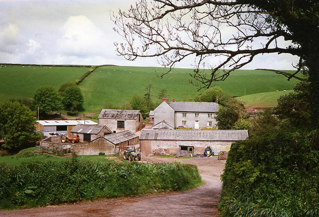
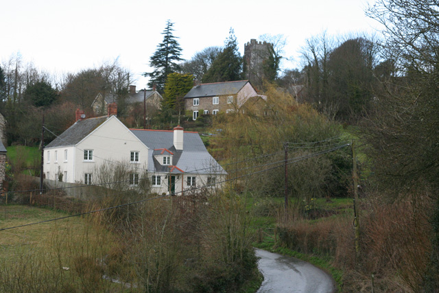
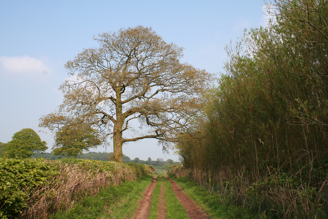
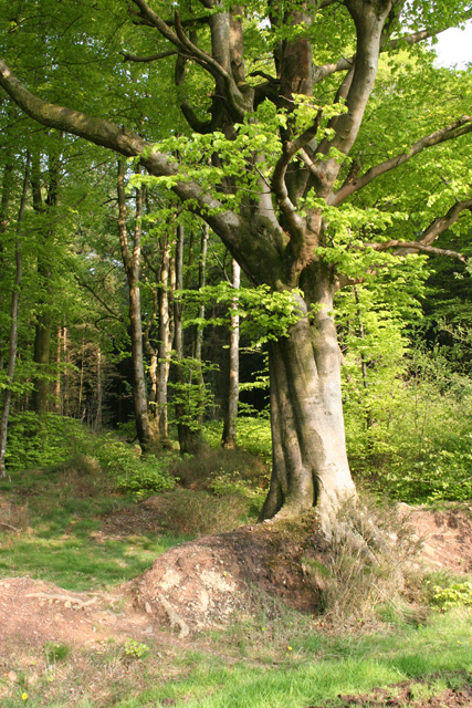
Chipstable is a small rural village located in the county of Somerset, England. Situated on the eastern edge of the Brendon Hills, the village is surrounded by picturesque countryside, offering stunning views of the rolling hills and lush green fields.

With a population of around 250 people, Chipstable is a tight-knit community that exudes a peaceful and tranquil atmosphere. The village itself is characterized by a collection of traditional stone cottages and farmhouses, giving it a charming and timeless appeal.

Despite its small size, Chipstable is well-equipped with amenities that cater to the needs of its residents. These include a village hall, a primary school, and a local pub, which serves as a social hub for both locals and visitors. The pub often hosts community events and gatherings, fostering a strong sense of community spirit.

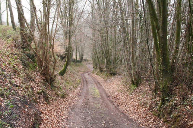
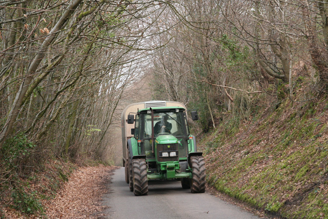
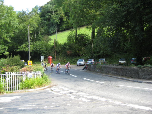
The surrounding countryside offers a multitude of outdoor activities for nature enthusiasts. The nearby Brendon Hills provide ample opportunities for hiking, cycling, and horseback riding, allowing residents to explore the scenic landscapes and enjoy the serenity of the area.

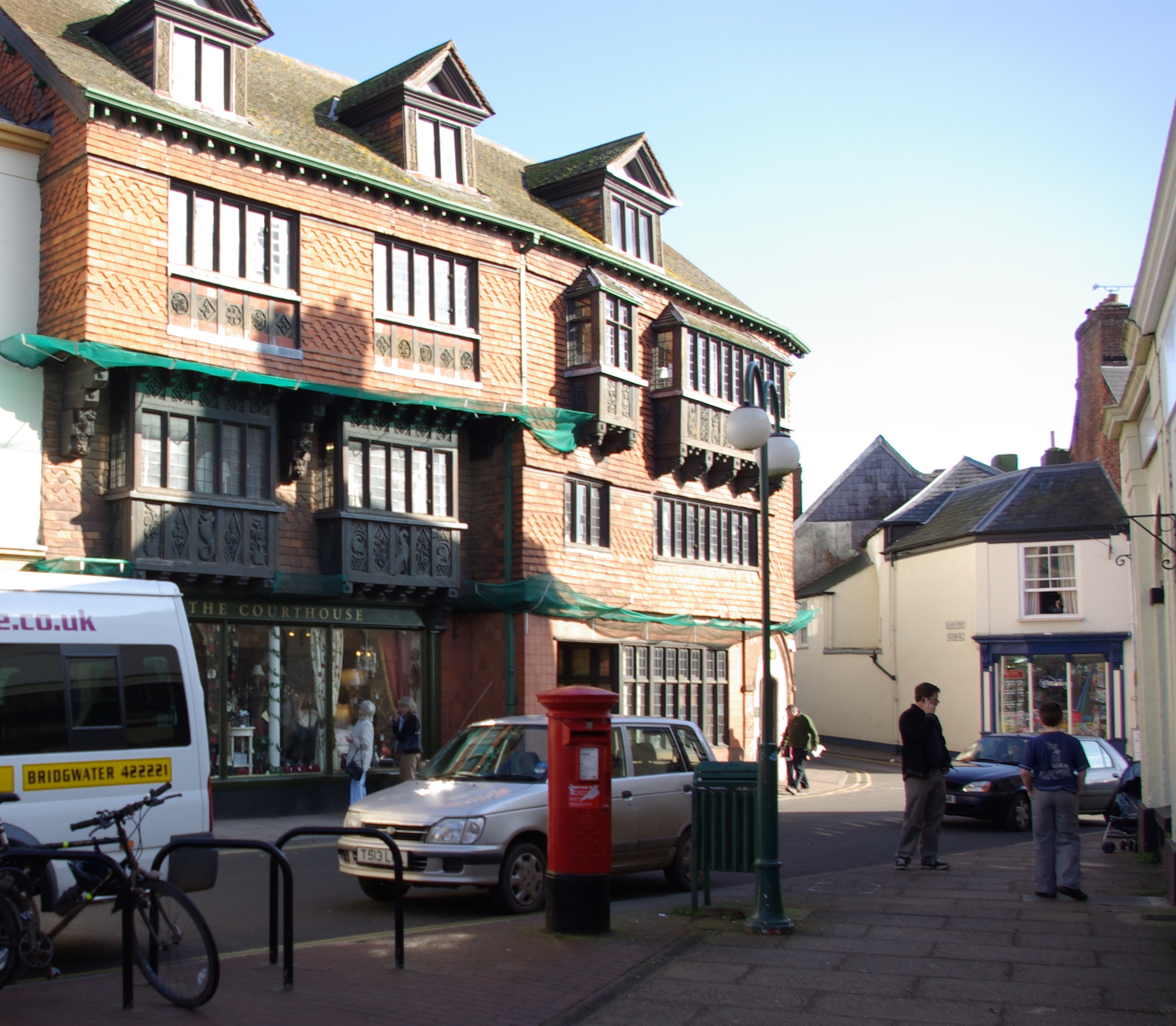
Chipstable is conveniently located within easy reach of larger towns and cities. Taunton, the county town of Somerset, is approximately 12 miles away and offers a wider range of amenities, including shopping centers, restaurants, and leisure facilities.

In summary, Chipstable is a picturesque village nestled in the heart of Somerset's countryside. With its tranquil setting, close-knit community, and convenient location, it provides residents with a peaceful and idyllic place to call home.

If you have any feedback on the listing, please let us know in the comments section below.

Chipstable Images

Images are sourced within 2km of 51.034839/-3.366257 or Grid Reference ST0427. Thanks to Geograph Open Source API. All images are credited.

Washbattle Mill Pond Featured here is the mill pond for Washbattle Mill. The Mill is now a pair of Holiday cottages (and very pleasant too)
Washbattle Mill Pond
Featured here is the mill pond for Washbattle Mill. The Mill is now a pair of Holiday cottages (and very pleasant too)
Chipstable: Chubworthy Farm The farm here had waterpower in the mid nineteenth century. The 16’ overshot waterwheel is now, in 2005, under restoration at Kelly Mine, Lustleigh, Devon
Chipstable: Chubworthy Farm
The farm here had waterpower in the mid nineteenth century. The 16’ overshot waterwheel is now, in 2005, under restoration at Kelly Mine, Lustleigh, Devon
Chipstable: in the Tone valley Woodland seen from the public footpath between Challick Lane and Washbattle Bridge
Chipstable: in the Tone valley
Woodland seen from the public footpath between Challick Lane and Washbattle Bridge
Chipstable: Waterrow A hamlet in the Tone valley with at least two active watermills in the 19th century. Now probably best known for the Rock Inn by the A361 Taunton-Bampton road. Looking north west from the bridge over the Tone
Chipstable: Waterrow
A hamlet in the Tone valley with at least two active watermills in the 19th century. Now probably best known for the Rock Inn by the A361 Taunton-Bampton road. Looking north west from the bridge over the Tone
Wiveliscombe: overlooking Challick Cottage In the Tone valley by Bulland Ford; the site of New Mills, one of Wiveliscombe’s fulling mills in 1840. By 1887 the mill was no longer, it’s leat filled in and Challick Cottage was established here
Wiveliscombe: overlooking Challick Cottage
In the Tone valley by Bulland Ford; the site of New Mills, one of Wiveliscombe’s fulling mills in 1840. By 1887 the mill was no longer, it’s leat filled in and Challick Cottage was established here
Chipstable: view from Pitt Lane Looking west
Chipstable: view from Pitt Lane
Looking west
Chipstable: the village Seen from Pitt Lane; looking north west
Chipstable: the village
Seen from Pitt Lane; looking north west
Chipstable: stream to Waterrow Looking north west. At the point where lanes from Dinhill Farm and Chipstable meet
Chipstable: stream to Waterrow
Looking north west. At the point where lanes from Dinhill Farm and Chipstable meet
Huish Champflower: Heydon Cottage Looking north-north-west over a valley that runs east towards Huish Champlower and Washbattle Bridge. Just west of Shute Copse
Huish Champflower: Heydon Cottage
Looking north-north-west over a valley that runs east towards Huish Champlower and Washbattle Bridge. Just west of Shute Copse
Huish Champflower: footpath at Huish Cleeve Looking west-north-west. The path crosses the valley to link up with the Wiveliscombe – Sperry Cross road
Huish Champflower: footpath at Huish Cleeve
Looking west-north-west. The path crosses the valley to link up with the Wiveliscombe – Sperry Cross road
Huish Champflower: lane at Huish Cleeve A tractor heads uphill from Huish Moor with a sheep trailer in tow. Looking east
Huish Champflower: lane at Huish Cleeve
A tractor heads uphill from Huish Moor with a sheep trailer in tow. Looking east
Wiveliscombe: footbridge over the Tone Near the ford at Challick Lane. Looking south west
Wiveliscombe: footbridge over the Tone
Near the ford at Challick Lane. Looking south west
Chipstable: by Woodworthy Farm Looking east-north-east towards the Tone valley – defined by the far hill – at Waterrow
Chipstable: by Woodworthy Farm
Looking east-north-east towards the Tone valley – defined by the far hill – at Waterrow
Chipstable: Hynicombe Lane A public bridleway between Heydon Farm and Old Way at Heydon Hill
Chipstable: Hynicombe Lane
A public bridleway between Heydon Farm and Old Way at Heydon Hill
Chipstable: beech wood at Heydon Hill Looking east from Old Way
Chipstable: beech wood at Heydon Hill
Looking east from Old Way
The Rock Inn Waterrow ... One of the best pubs in the South West
The Rock Inn Waterrow
... One of the best pubs in the South West
View towards Trowell Farm ... outside Waterrow
View towards Trowell Farm
... outside Waterrow
Tour of Britain 2009 The leading group passing The Rock Inn at Waterrow.
Tour of Britain 2009
The leading group passing The Rock Inn at Waterrow.
Show me another place!

Chipstable is located at Grid Ref: ST0427 (Lat: 51.034839, Lng: -3.366257)

Administrative County: Somerset

District: Somerset West and Taunton

Police Authority: Avon and Somerset

What 3 Words

///sprains.refers.parsnips. Near Wiveliscombe, Somerset

Related Wikis

Church of All Saints, Chipstable

The Church of All Saints is an Anglican church in Chipstable, Somerset, England which probably dates from the early 13th century. It is located in the...

Chipstable

Chipstable is a village and civil parish in Somerset, England, situated beside Heydon Hill 10 miles (16.1 km) west of Taunton. The parish has a population...

Huish Champflower

Huish Champflower is a village and civil parish in Somerset, England, three miles north-west of Wiveliscombe and ten miles north of Wellington. It has...

Castles Camp

Castles Camp is a univallate Iron Age hill fort in the Taunton Deane district of Somerset, England. The hill fort is situated approximately 1 mile (1.6...

Abbotsfield, Wiveliscombe

Abbotsfield is a country house and farm, to the west of the town of Wiveliscombe, Somerset, England. Built in 1872, it became a Grade II listed building...

Wiveliscombe

Wiveliscombe (, locally ) is a town and civil parish in Somerset, England, situated 9 miles (14 km) west of Taunton. The town has a population of 2,893...

Clatworthy

Clatworthy is a village and civil parish in the Somerset West and Taunton district of Somerset, England. It is situated 10 miles (16 km) from Wellington...

Church of St Mary Magdalene, Clatworthy

The Anglican Church of Mary Magdalene in Clatworthy, Somerset, England was built in the 12th century. It is a Grade II* listed building. == History... ==

Nearby Amenities

Located within 500m of 51.034839,-3.366257
Chipstable
Is In: Somerset, England, UK
Place: hamlet
Wikidata: Q2578455
Wikipedia: en:Chipstable
Lat/Long: 51.0355791/-3.3661742
The data included in this document is from www.openstreetmap.org. The data is made available under ODbL.

Have you been to Chipstable?

Leave your review of Chipstable below (or comments, questions and feedback).