Warden, Chipping

Settlement in Northamptonshire

England

Warden, Chipping

Jurassic Way crossing the River Cherwell Looking towards Chipping Warden. The first crossing of the Cherwell is at Charwelton <a href="https://www.geograph.org.uk/photo/2393670">SP5356 : Packhorse bridge, Charwelton</a>
Jurassic Way crossing the River Cherwell Credit: Tim Heaton

Warden is a small village located in the district of Daventry, within the county of Northamptonshire, England. Situated approximately 9 miles southeast of the town of Daventry, Warden is known for its picturesque countryside and tranquil ambiance.

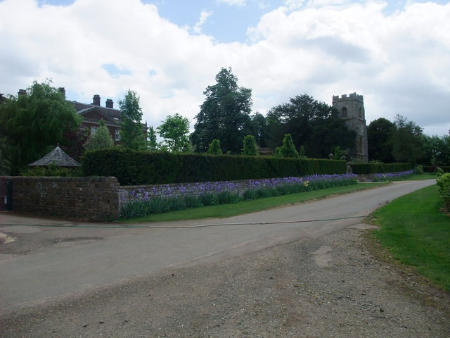
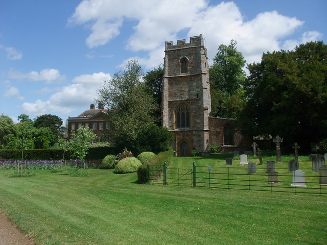
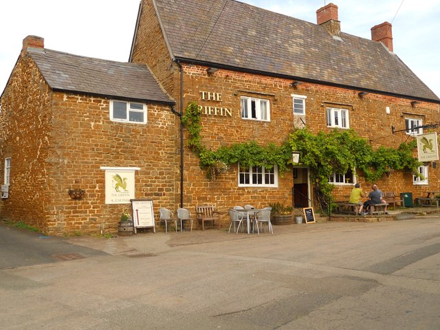
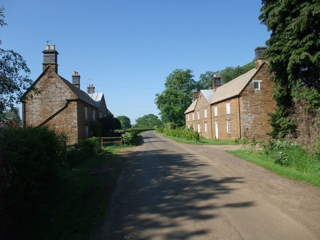
The village is primarily residential and boasts a close-knit community. The population of Warden is relatively small, with only a few hundred residents. The village is characterized by a mix of traditional stone cottages and more modern housing developments, giving it a charming and diverse architectural landscape.

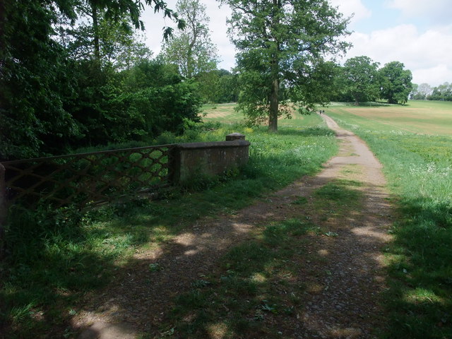
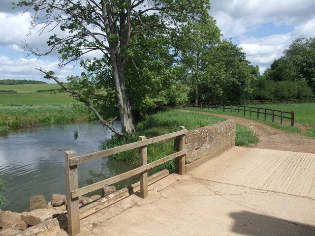
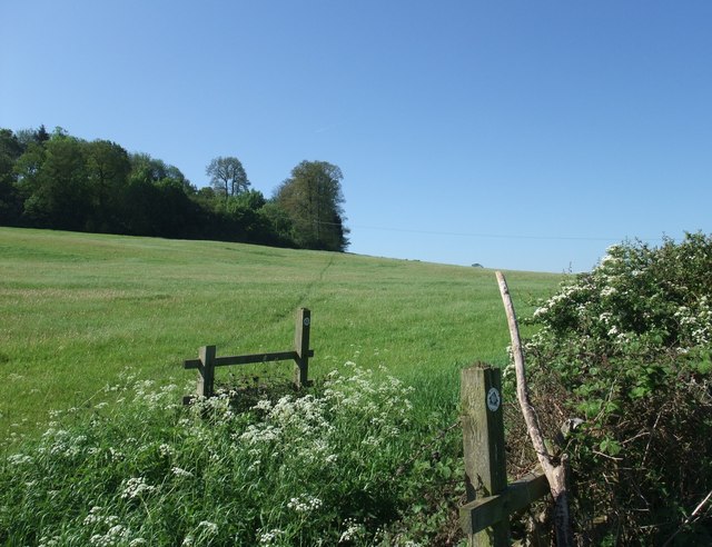
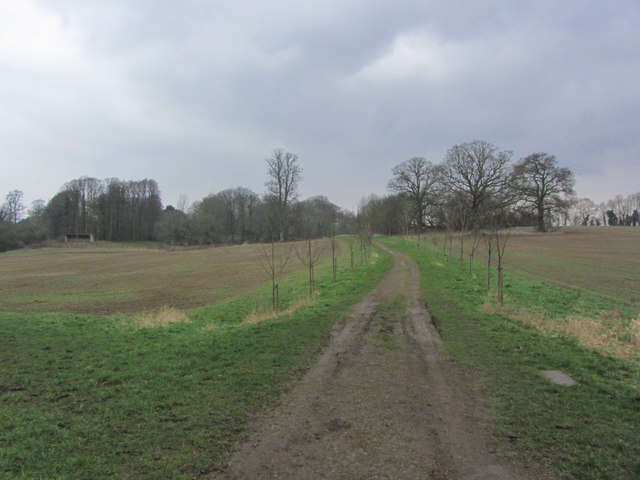
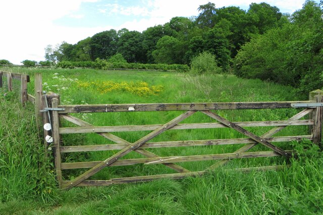
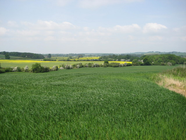
Warden benefits from its idyllic location, surrounded by rolling hills and lush green fields, making it an attractive destination for nature enthusiasts and walkers. The nearby countryside offers numerous walking trails and scenic routes, providing ample opportunities to explore the beautiful Northamptonshire landscape.

Although Warden is a predominantly residential area, it is conveniently located near the town of Daventry, where residents can find a range of amenities. Daventry offers a variety of shops, supermarkets, restaurants, and leisure facilities, ensuring that residents of Warden have access to all necessary services within a short distance.

Transport links in Warden are relatively good, with regular bus services connecting the village to nearby towns and villages. The M1 motorway is also easily accessible, providing convenient access to major cities such as Birmingham and London.

In summary, Warden is a charming village in Northamptonshire, offering a peaceful and picturesque environment for its residents. With its close proximity to Daventry and beautiful surrounding countryside, Warden provides a perfect balance between rural tranquility and convenient accessibility.

If you have any feedback on the listing, please let us know in the comments section below.

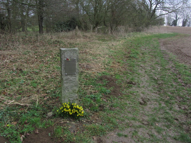
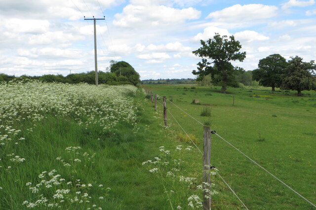
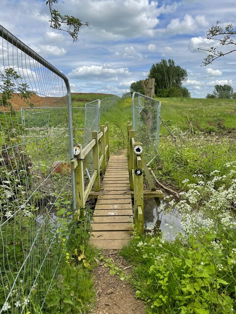
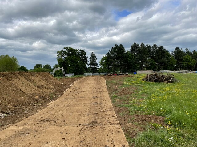
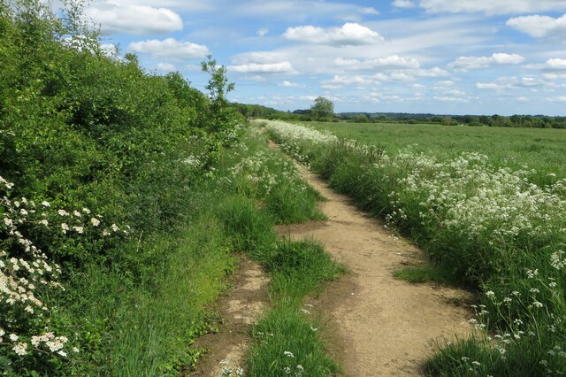
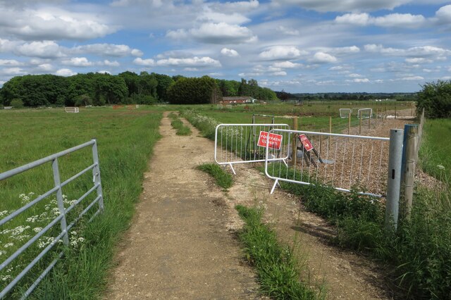
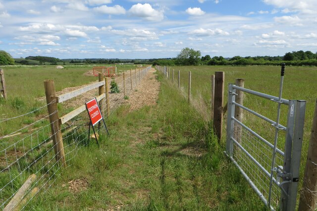
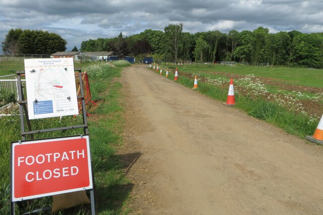
Warden, Chipping Images

Images are sourced within 2km of 52.136451/-1.273834 or Grid Reference SP4948. Thanks to Geograph Open Source API. All images are credited.

Jurassic Way crossing the River Cherwell Looking towards Chipping Warden. The first crossing of the Cherwell is at Charwelton <a href="https://www.geograph.org.uk/photo/2393670">SP5356 : Packhorse bridge, Charwelton</a>
Jurassic Way crossing the River Cherwell
Looking towards Chipping Warden. The first crossing of the Cherwell is at Charwelton SP5356 : Packhorse bridge, Charwelton
Jurassic Way approaching Edgcote House The wall is bordered by a stunning array of blue irises.
Jurassic Way approaching Edgcote House
The wall is bordered by a stunning array of blue irises.
Church of St James, Edgcote Containing fine Elizabethan monuments to the Chauncy family <span class="nowrap"><a title="http://www.waymarking.com/waymarks/WMB9FC_St_James_Edgcote_Northants" rel="nofollow ugc noopener" href="http://www.waymarking.com/waymarks/WMB9FC_St_James_Edgcote_Northants">Link</a><img style="margin-left:2px;" alt="External link" title="External link - shift click to open in new window" src="https://s1.geograph.org.uk/img/external.png" width="10" height="10"/></span>
Church of St James, Edgcote
Containing fine Elizabethan monuments to the Chauncy family LinkExternal link
The Battlefields Trail alongside the River Cherwell The 20 mile Battlefields trail joins civil war sites of Edgcote, Copredy Bridge and Edgehill. <span class="nowrap"><a title="http://www.battlefieldstrust.com/media/718.pdf" rel="nofollow ugc noopener" href="http://www.battlefieldstrust.com/media/718.pdf">Link</a><img style="margin-left:2px;" alt="External link" title="External link - shift click to open in new window" src="https://s1.geograph.org.uk/img/external.png" width="10" height="10"/></span>
The Battlefields Trail alongside the River Cherwell
The 20 mile Battlefields trail joins civil war sites of Edgcote, Copredy Bridge and Edgehill. LinkExternal link
Chipping Warden-The Griffin On Culworth Road.
Chipping Warden-The Griffin
On Culworth Road.
The Jurassic Way past Edgcote Drive Cottages These look like 'estate' buildings
The Jurassic Way past Edgcote Drive Cottages
These look like 'estate' buildings
The Jurassic Way towards Ladshill Spinney
Farm track between Edgcote & Chipping Warden
Memorial to Wellington Bomber Crew LP286 on the SE edge of Chipping Warden During a training sortie on 18 April 1945  Wellington Bomber LP286 was returning to Chipping warden following engine problems. Following an overshoot and go around the plane stalled and crashed at 14.03 into Edgcote Park south east of the airfield killing all but one. This modern memorial stands at the edge of a wooded area and can be clearly seen from the adjacent path.
Memorial to Wellington Bomber Crew LP286 on the SE edge of Chipping Warden
During a training sortie on 18 April 1945 Wellington Bomber LP286 was returning to Chipping warden following engine problems. Following an overshoot and go around the plane stalled and crashed at 14.03 into Edgcote Park south east of the airfield killing all but one. This modern memorial stands at the edge of a wooded area and can be clearly seen from the adjacent path.
Powerlines over the Battlefields Trail
Fenced in footbridge on the Battlefields Trail
HS2 works by the footpath
Footpath towards Calves Close Spinney
Another HS2 footpath diversion near Calves Spinney
Fenced in footpath
Fenced in footpath
Track to Calves Spinney No longer a footpath thanks to HS2 works
Track to Calves Spinney
No longer a footpath thanks to HS2 works
Gate on the Battlefields Trail heading for Edgcote
Buttercup paddock on the edge of Edgcote
Show me another place!

Warden, Chipping is located at Grid Ref: SP4948 (Lat: 52.136451, Lng: -1.273834)

Unitary Authority: West Northamptonshire

Police Authority: Northamptonshire

What 3 Words

///contact.snowballs.readers. Near Claydon, Oxfordshire

Related Wikis

Chipping Warden

Chipping Warden is a village and former civil parish, now in the parish of Chipping Warden and Edgcote, in the West Northamptonshire district, in the ceremonial...

RAF Chipping Warden

Royal Air Force Chipping Warden or more simply RAF Chipping Warden was a Royal Air Force station located 6 miles (10 km) north-east of Banbury near the...

Edgcote

Edgcote is a village and former civil parish, now in the parish of Chipping Warden and Edgcote, in the West Northamptonshire district, in the ceremonial...

Prescote

Prescote is a hamlet and civil parish about 4 miles (6.4 km) north of Banbury in Oxfordshire. Its boundaries are the River Cherwell in the southeast, a...

Aston le Walls

Aston le Walls is a village and civil parish in West Northamptonshire, England, close by the border with Oxfordshire. The village is about 9 miles (14...

Wardington

Wardington is a village and civil parish in Oxfordshire, about 4 miles (6.4 km) northeast of Banbury. The village consists of two parts: Wardington and...

Wardington Manor

Wardington Manor lies between Lower and Upper Wardington in Oxfordshire. The house dates from the middle of the 16th century or possibly earlier. The house...

Battle of Edgcote

The Battle of Edgcote (also known as the Battle of Banbury or the Battle of Danes Moor) took place on 24 July 1469, during the Wars of the Roses. It was...

Nearby Amenities

Located within 500m of 52.136451,-1.273834
Chipping Warden
Is In Country: United Kingdom
Is In County: Northamptonshire
Is In District: South Northamptonshire
Place: village
Wikidata: Q2607835
Wikipedia: en:Chipping Warden
Lat/Long: 52.1352993/-1.2719877
Bus Stop
Hogg End (adj)
Bench: yes
Bin: yes
Naptan AtcoCode: 300000528AB
Naptan CommonName: Hogg End
Naptan Indicator: adj
Naptan Landmark: Hogg End
Naptan NaptanCode: nthdamdg
Naptan Street: Banbury Road
Public Transport: platform
Shelter: yes
Lat/Long: 52.133338/-1.2768553
Bus Stop
Hogg End (opp)
Bench: yes
Naptan AtcoCode: 300000528AR
Naptan CommonName: Hogg End
Naptan Indicator: opp
Naptan Landmark: Hogg End
Naptan NaptanCode: nthdamdj
Naptan Street: Banbury Road
Public Transport: platform
Shelter: yes
Lat/Long: 52.1337726/-1.2766533
Noexit: yes
Lat/Long: 52.1357777/-1.2717292
Bench
Lat/Long: 52.135431/-1.2719424
Bench
Lat/Long: 52.1349698/-1.2752109
Rose and Crown
Disused Amenity: pub
Note: To Let
Lat/Long: 52.1355023/-1.2726497
Bench
Lat/Long: 52.1353847/-1.2736876
Pub
The Griffin
Addr City: Banbury
Addr Country: GB
Addr Housenumber: 9
Addr Postcode: OX17 1LB
Addr Street: Culworth Road
Addr Village: Chipping Warden
Fhrs Authority: West Northamptonshire
Fhrs Id: 1541258
Fhrs Local Authority Id: FR/000002501
Internet Access: wlan
Internet Access Fee: no
Operator: Marston's
Real Ale: 2 from Marston's
Wikidata: Q26581778
Lat/Long: 52.1358564/-1.2709171
Bench
Lat/Long: 52.134369/-1.271819
Description: The Battlefields Trail
Information: board
Tourism: information
Lat/Long: 52.1337513/-1.271461
Barrier: stile
Source: bing
Lat/Long: 52.1362215/-1.2808373
Barrier: stile
Source: bing
Lat/Long: 52.1363249/-1.2794479
Barrier: stile
Source: survey
Lat/Long: 52.1364446/-1.2782237
Crossing
Crossing: traffic_signals
Source: survey
Lat/Long: 52.1381105/-1.2715478
Chipping Warden Village Sign
Tourism: artwork
Lat/Long: 52.1353964/-1.2722522
Bunker Type: pillbox
Historic: ruins
Military: bunker
Source: bing
Lat/Long: 52.1363858/-1.2785221
Entrance: main
Source: estimate
Lat/Long: 52.134244/-1.2724732
Telephone
Booth: K6
Covered: booth
Listed Status: Grade II
Operator: BT
Phone: +44 1295 660201
Source: survey
Lat/Long: 52.1346551/-1.2725786
Historic: monument
Monument: stepped base of wayside cross
Source: survey
Lat/Long: 52.1347584/-1.2723103
Power: substation
Ref: 41D6102
Source: survey
Lat/Long: 52.1353595/-1.2725636
Bus Stop
The Rose and Crown PH (opp)
Bench: yes
Bin: yes
Naptan AtcoCode: 300000528RC
Naptan CommonName: The Rose and Crown PH
Naptan Indicator: opp
Naptan Landmark: The Rose and Crown PH
Naptan NaptanCode: nthdamdm
Naptan Street: Banbury Road
Public Transport: platform
Shelter: yes
Lat/Long: 52.1353158/-1.2728451
Post Box
Ref: OX17 1046
Lat/Long: 52.1353739/-1.2725924
Bus Stop
The Rose and Crown PH (o/s)
Naptan AtcoCode: 300000528RN
Naptan CommonName: The Rose and Crown PH
Naptan Indicator: o/s
Naptan Landmark: The Rose and Crown PH
Naptan NaptanCode: nthdamdp
Naptan Street: Banbury Road
Public Transport: platform
Lat/Long: 52.1354601/-1.2727129
Grit Bin
Source: survey
Lat/Long: 52.1365657/-1.2737621
Wellington Bomber LP286 Crash 18 April 1945
Historic: memorial
Source: survey
Lat/Long: 52.1328822/-1.269602
Kindergarten
Chipping Warden Kindergarten
Addr City: Brackley
Addr Country: GB
Addr Housename: Chipping Warden Primary School
Addr Postcode: OX17 1LD
Addr Street: Byfield Road
Addr Village: Chipping Warden
Fhrs Authority: West Northamptonshire
Fhrs Id: 1540915
Fhrs Local Authority Id: FR/000001207
Lat/Long: 52.1377718/-1.2711793
Direction: S
Generator Method: photovoltaic
Generator Output Electricity: yes
Generator Solar Modules: 6
Generator Source: solar
Generator Type: solar_photovoltaic_panel
Location: roof
Power: generator
Lat/Long: 52.1336185/-1.2754653
Direction: S
Generator Method: photovoltaic
Generator Output Electricity: yes
Generator Solar Modules: 4
Generator Source: solar
Generator Type: solar_photovoltaic_panel
Location: roof
Power: generator
Lat/Long: 52.1336177/-1.2755364
Speed Camera
Maxspeed: 30 mph
Lat/Long: 52.1364959/-1.2718564
Traffic Calming: island
Lat/Long: 52.133423/-1.2767248
Turning Circle
Lat/Long: 52.1368198/-1.2755779
Direction: 90
Traffic Sign: Give_Way
Lat/Long: 52.135035/-1.275961
Defibrillator
Emergency: defibrillator
Lat/Long: 52.1358462/-1.2710934
The data included in this document is from www.openstreetmap.org. The data is made available under ODbL.

Have you been to Warden, Chipping?

Leave your review of Warden, Chipping below (or comments, questions and feedback).