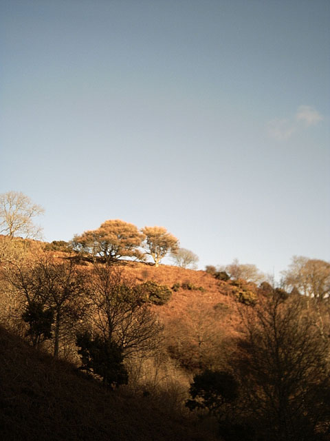
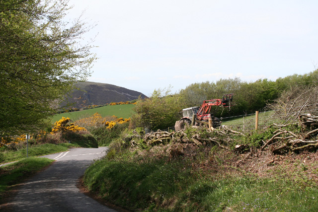
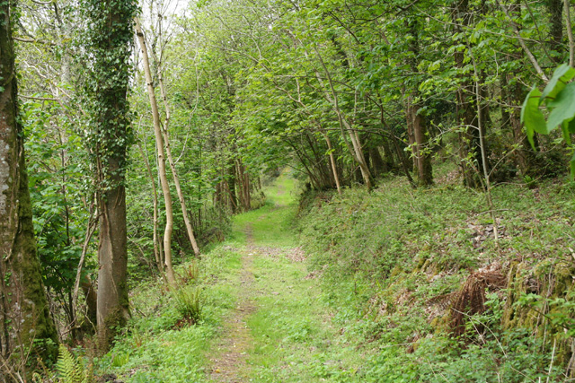
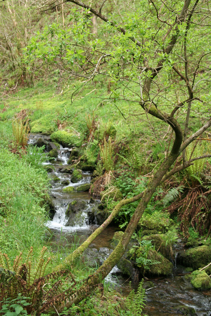
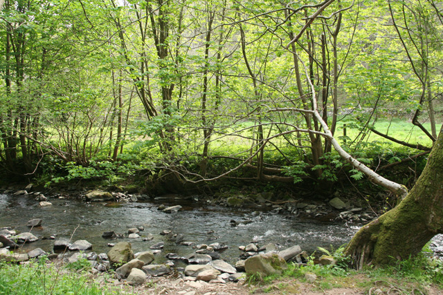
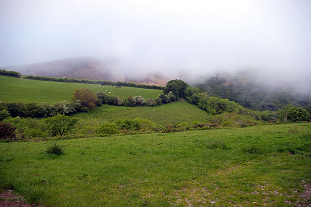
Heale Wood

Wood, Forest in Devon North Devon

England

Heale Wood

Martinhoe Church
Martinhoe Church Credit: John Phillips

The requested URL returned error: 429 Too Many Requests

If you have any feedback on the listing, please let us know in the comments section below.
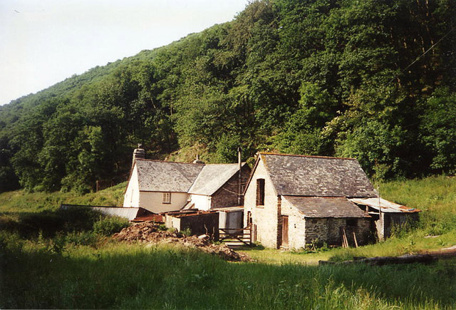
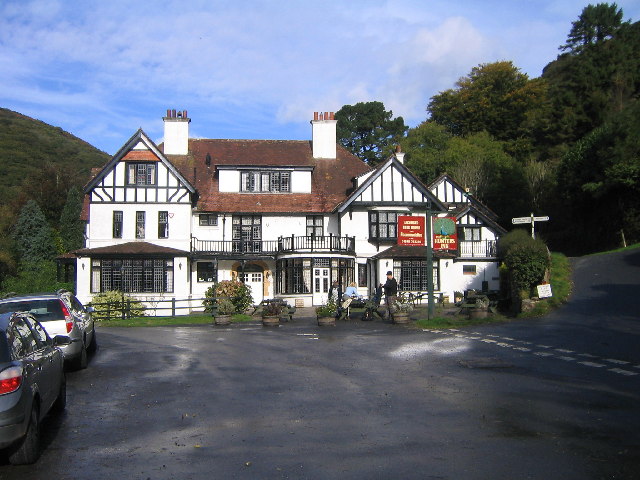
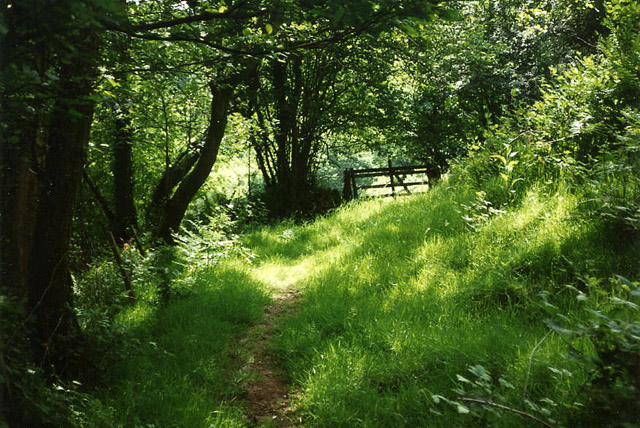
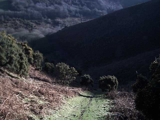
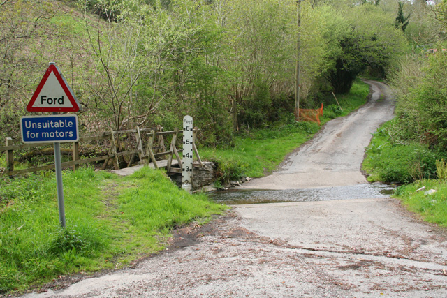
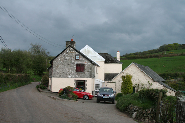
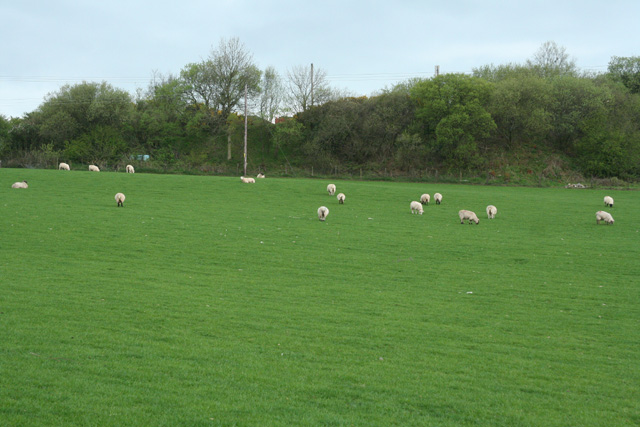
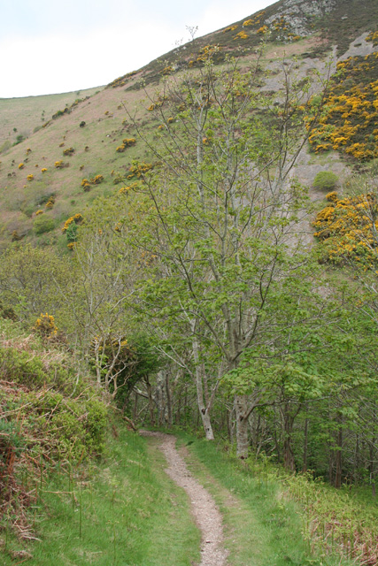
Heale Wood Images

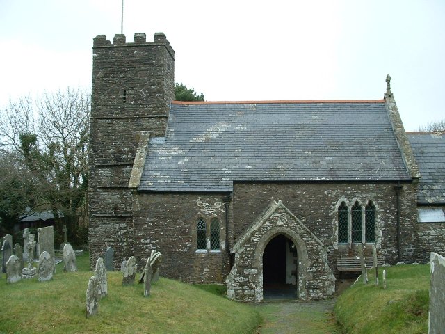
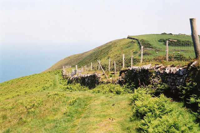
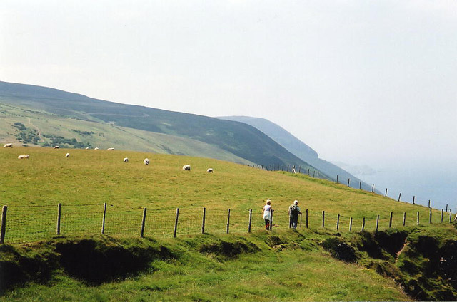
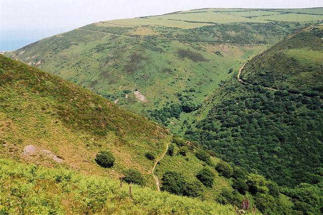
Images are sourced within 2km of 51.207088/-3.926957 or Grid Reference SS6547. Thanks to Geograph Open Source API. All images are credited.

Martinhoe Church
Martinhoe Church
Trentishoe: the South West Coast Path Looking east
Trentishoe: the South West Coast Path
Looking east
Trentishoe: the South West Coast Path West to Holdstone Down and the Great Hangman
Trentishoe: the South West Coast Path
West to Holdstone Down and the Great Hangman
Trentishoe: overlooking Heddon's Mouth Cleave The South West Coast Path is just visible on both sides of the valley. The higher path on the hills opposite leads to Woody Bay
Trentishoe: overlooking Heddon's Mouth Cleave
The South West Coast Path is just visible on both sides of the valley. The higher path on the hills opposite leads to Woody Bay
Martinhoe: Mill Farm In the Heddon Valley above Hunter’s Inn. There was probably a mill here – a fulling mill, or tucking mill, as they were known in the west country – involved in the production of cloth. A roundel in the gable carries an image of a pair of shears, once used in the industry
Martinhoe: Mill Farm
In the Heddon Valley above Hunter’s Inn. There was probably a mill here – a fulling mill, or tucking mill, as they were known in the west country – involved in the production of cloth. A roundel in the gable carries an image of a pair of shears, once used in the industry
Hunters Inn, Heddons Mouth
Parracombe: near Bumsley Mill Footpath in the Heddon valley
Parracombe: near Bumsley Mill
Footpath in the Heddon valley
Heading down from Trentishoe Down Heading down towards the Ladies Mile and Trentishoe Manor
Heading down from Trentishoe Down
Heading down towards the Ladies Mile and Trentishoe Manor
Winter Trees, Trentishoe Taken from the footpath leading to the Ladies Mile
Winter Trees, Trentishoe
Taken from the footpath leading to the Ladies Mile
Martinhoe: near Mannacott Lane Head Looking north west. The tractor is clearing brush away from the recently trimmed hedge
Martinhoe: near Mannacott Lane Head
Looking north west. The tractor is clearing brush away from the recently trimmed hedge
Martinhoe: bridleway near Milltown Looking north-north-east. The path or bridleway to Kings Lane
Martinhoe: bridleway near Milltown
Looking north-north-east. The path or bridleway to Kings Lane
Martinhoe: stream near Kittitoe Looking east-south-east by the road from Hunters Inn to Killington Cross and the A39.
Martinhoe: stream near Kittitoe
Looking east-south-east by the road from Hunters Inn to Killington Cross and the A39.
Martinhoe: ford near Kittitoe Looking north on a lane to Kemacott
Martinhoe: ford near Kittitoe
Looking north on a lane to Kemacott
Martinhoe: house at Killington Looking south east by the road from Hunters Inn to Killington Cross and the A39.
Martinhoe: house at Killington
Looking south east by the road from Hunters Inn to Killington Cross and the A39.
Martinhoe: towards Higher Bodley Beyond the field boundary lie old quarry workings. Looking south-south-west
Martinhoe: towards Higher Bodley
Beyond the field boundary lie old quarry workings. Looking south-south-west
Martinhoe: near Heddon’s Mouth Cleave Approaching Heddon’s Mouth Cleave on the lower path from Woody Bay; the path leads on to The Hunters Inn, National Trust shop and car park. Looking south west
Martinhoe: near Heddon’s Mouth Cleave
Approaching Heddon’s Mouth Cleave on the lower path from Woody Bay; the path leads on to The Hunters Inn, National Trust shop and car park. Looking south west
Martinhoe: the Heddon between Hunters Inn and Heddon’s Mouth Seen from the lower path from Woody Bay
Martinhoe: the Heddon between Hunters Inn and Heddon’s Mouth
Seen from the lower path from Woody Bay
Sea Mist Offshore winds drove sea mist up the deep valleys (combes) which persisted well into the late afternoon; picture taken late morning. Elevation 210m above sea level.
Sea Mist
Offshore winds drove sea mist up the deep valleys (combes) which persisted well into the late afternoon; picture taken late morning. Elevation 210m above sea level.
Show me another place!

Heale Wood is located at Grid Ref: SS6547 (Lat: 51.207088, Lng: -3.926957)

Administrative County: Devon

District: North Devon

Police Authority: Devon and Cornwall

What 3 Words

///configure.supple.shared. Near Lynton, Devon

Related Wikis

Voley Castle

Voley Castle is an Iron Age hill fort situated close to Parracombe in north Devon, England. The fort is situated on a promontory on the eastern side of...

Beacon Castle

Beacon Castle is an Iron Age hill fort close to Parracombe in Devon, England. It is situated on a hilltop some 290 metres (950 ft) above sea level, overlooking...

Trentishoe

Trentishoe is a village and civil parish in North Devon, England. The parish lies on the coast of the Bristol Channel. The village is 5 miles (8 km) east...

Killington Lane railway station

Killington Lane is a temporary terminus about one mile (1.6 km) southwest of Woody Bay on the Lynton and Barnstaple Railway (L&B), the narrow gauge line...

Have you been to Heale Wood?

Leave your review of Heale Wood below (or comments, questions and feedback).